
Hainaut
Description
Province in southwestern Belgium.
Map

Trails in this state
Links
Facts
Reports
Guides and maps
Lodging
Organisations
Tour operators
GPS
Other
Books

Stanfords
United Kingdom
2009
United Kingdom
2009
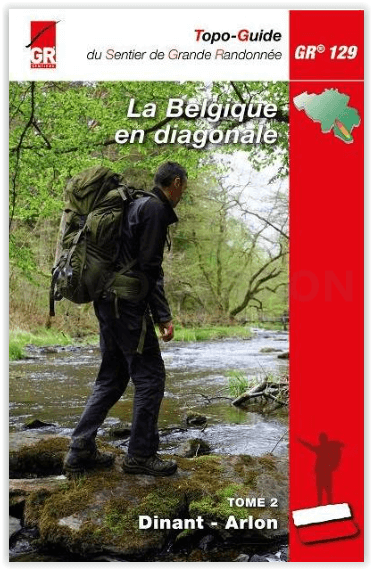
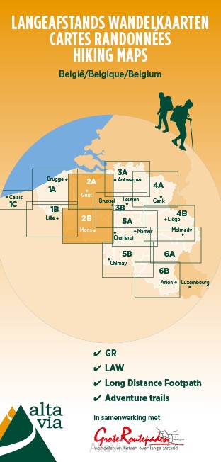
- Le Nord à pied FFRP Topo-guide No. D059
- Le Nord à pied, FFRP Topo-guide Ref. No. D059, with 41 day walks of varying length and difficulty in the department Le Nord, stretching along the Belgian border from the coast near Dunkerque, past Lille and Valenciennes, to Cambrai and Avesnes-sur-Helpe. Current edition of this title was published in November 2009.To see the list of other FFRP... Read more

Stanfords
United Kingdom
2020
United Kingdom
2020
- Alpujarras Tour & Trail Super-Durable Map
- For the best adventures, use the best map. The Moorish white villages of the Alpujarras are well known to day trippers from the Costa del Sol. For walkers this is an idyllic region with stone-laid donkey trails linking the tipico villages and stretching up the southern slopes of the Sierra Nevada to Mulhacen; at 3,483 metres the highest... Read more
- Also available from:
- The Book Depository, United Kingdom
- De Zwerver, Netherlands


Bol.com
Netherlands
Netherlands
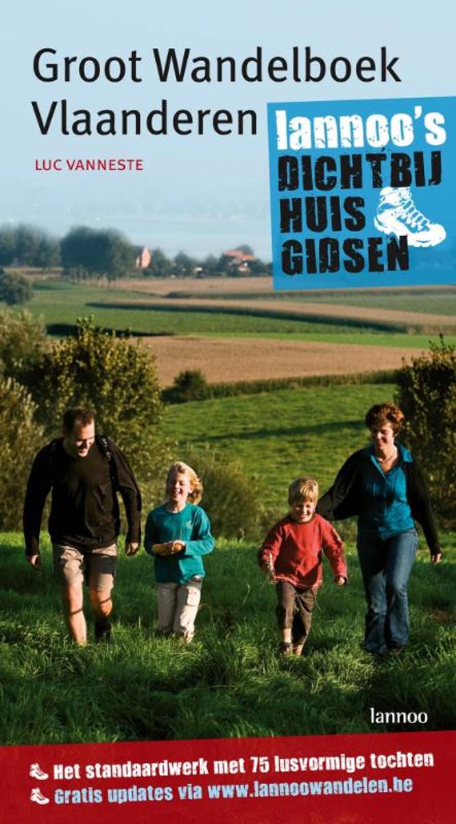
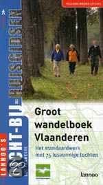
- Groot Wandelboek Vlaanderen
- LANNOO'S DICHT - BIJ - HUISGIDSENAuteur Luc Vanneste stapte ruim 1500 kilometer bij mekaar om in de vijf Vlaamse provincies de 75 mooiste wandelroutes uit te stippelen. Zijn speurwerk mondde uit in deze vernieuwde versie van de dicht-bij-huis-klassieker Groot wandelboek Vlaanderen.De lusvormige tochten zijn uitgezet over rustige paden en vari n... Read more
- Also available from:
- Bol.com, Belgium
Bol.com
Belgium
Belgium
- Groot Wandelboek Vlaanderen
- LANNOO'S DICHT - BIJ - HUISGIDSENAuteur Luc Vanneste stapte ruim 1500 kilometer bij mekaar om in de vijf Vlaamse provincies de 75 mooiste wandelroutes uit te stippelen. Zijn speurwerk mondde uit in deze vernieuwde versie van de dicht-bij-huis-klassieker Groot wandelboek Vlaanderen.De lusvormige tochten zijn uitgezet over rustige paden en vari n... Read more
De Zwerver
Netherlands
2023
Netherlands
2023
De Zwerver
Netherlands
2023
Netherlands
2023
De Zwerver
Netherlands
2016
Netherlands
2016

De Zwerver
Netherlands
2023
Netherlands
2023
Bol.com
Netherlands
Netherlands
- Groot Wandelboek Vlaanderen
- LANNOO'S DICHT - BIJ - HUISGIDSENAuteur Luc Vanneste stapte ruim 1500 kilometer bij mekaar om in de vijf Vlaamse provincies de 75 mooiste wandelroutes uit te stippelen. Zijn speurwerk mondde uit in deze vernieuwde versie van de dicht-bij-huis-klassieker Groot wandelboek Vlaanderen.De lusvormige tochten zijn uitgezet over rustige paden en vari n... Read more
- Also available from:
- Bol.com, Belgium
Bol.com
Belgium
Belgium
- Groot Wandelboek Vlaanderen
- LANNOO'S DICHT - BIJ - HUISGIDSENAuteur Luc Vanneste stapte ruim 1500 kilometer bij mekaar om in de vijf Vlaamse provincies de 75 mooiste wandelroutes uit te stippelen. Zijn speurwerk mondde uit in deze vernieuwde versie van de dicht-bij-huis-klassieker Groot wandelboek Vlaanderen.De lusvormige tochten zijn uitgezet over rustige paden en vari n... Read more
De Zwerver
Netherlands
2023
Netherlands
2023
Maps
De Zwerver
Netherlands
Netherlands
De Zwerver
Netherlands
Netherlands

Stanfords
United Kingdom
United Kingdom
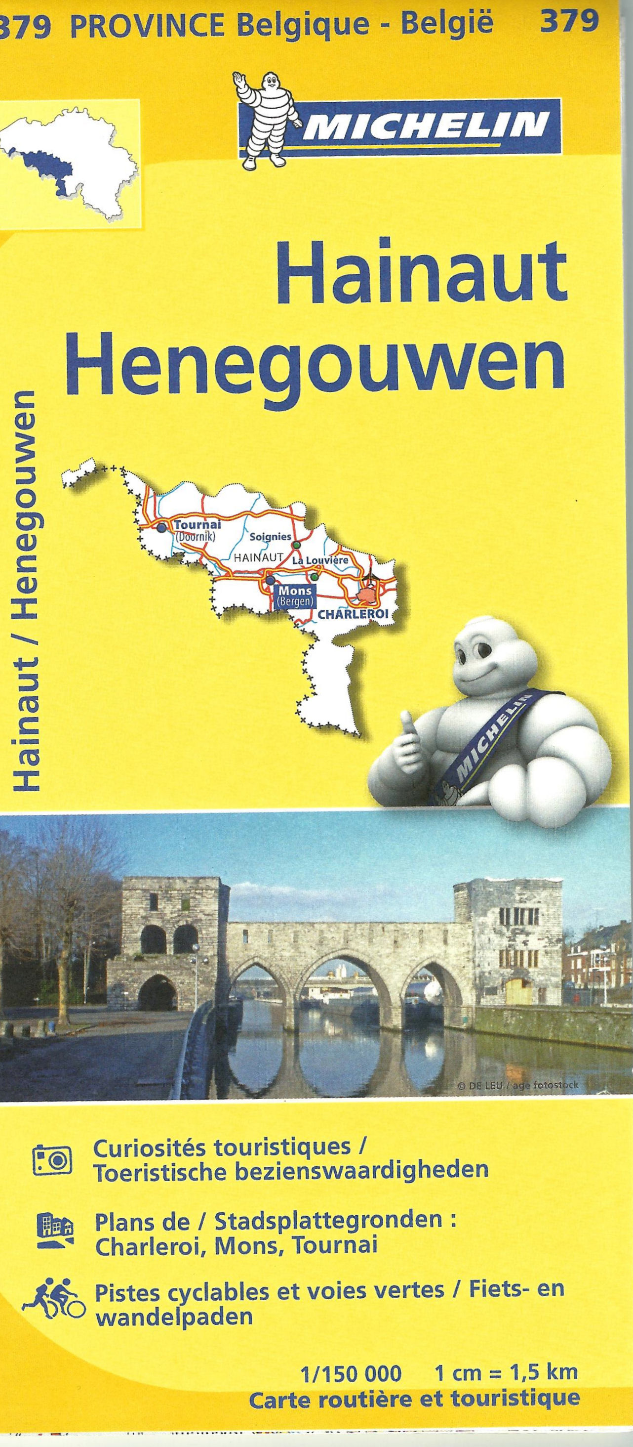
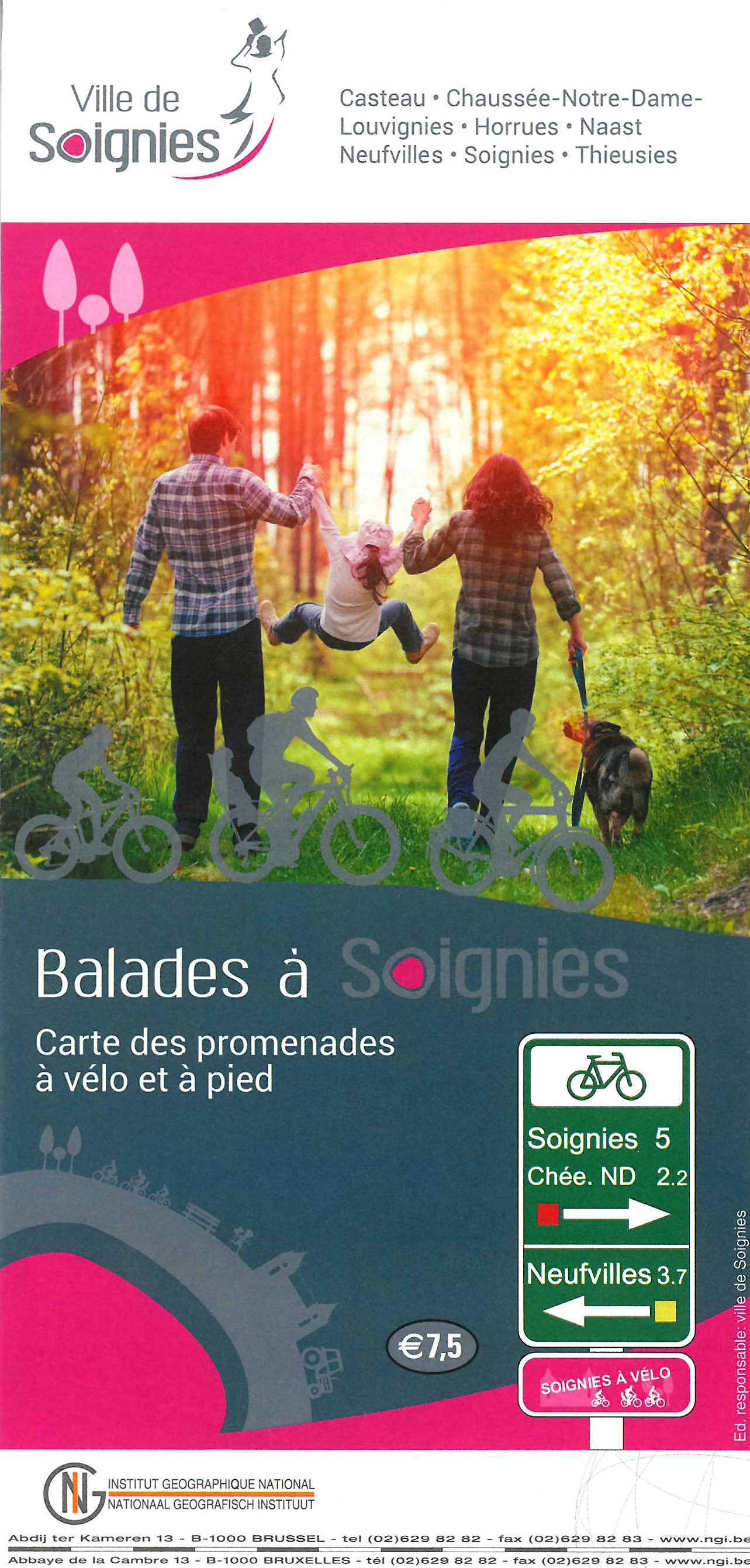
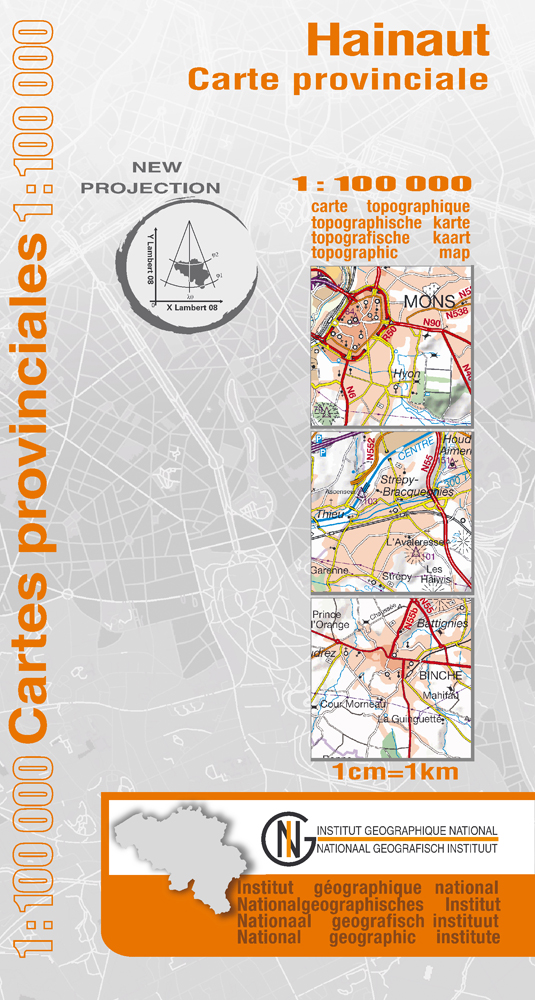
- Hainaut Province
- Hainaut Province at 1:100,000 in a series of GPS compatible topographic maps from the Nationaal Geografisch Instituut/Institut Géographique National, Belgium’s national survey organization, each with a separate index booklet covering the whole country.Described by the publishers as a topographic series, the maps do carry all the information... Read more
- Also available from:
- De Zwerver, Netherlands
De Zwerver
Netherlands
Netherlands
- Wegenkaart - landkaart Provinciekaart Henegouwen - Hainaut | NGI - Nationaal Geografisch Instituut
- Hainaut Province at 1:100,000 in a series of GPS compatible topographic maps from the Nationaal Geografisch Instituut/Institut G Read more

Stanfords
United Kingdom
United Kingdom
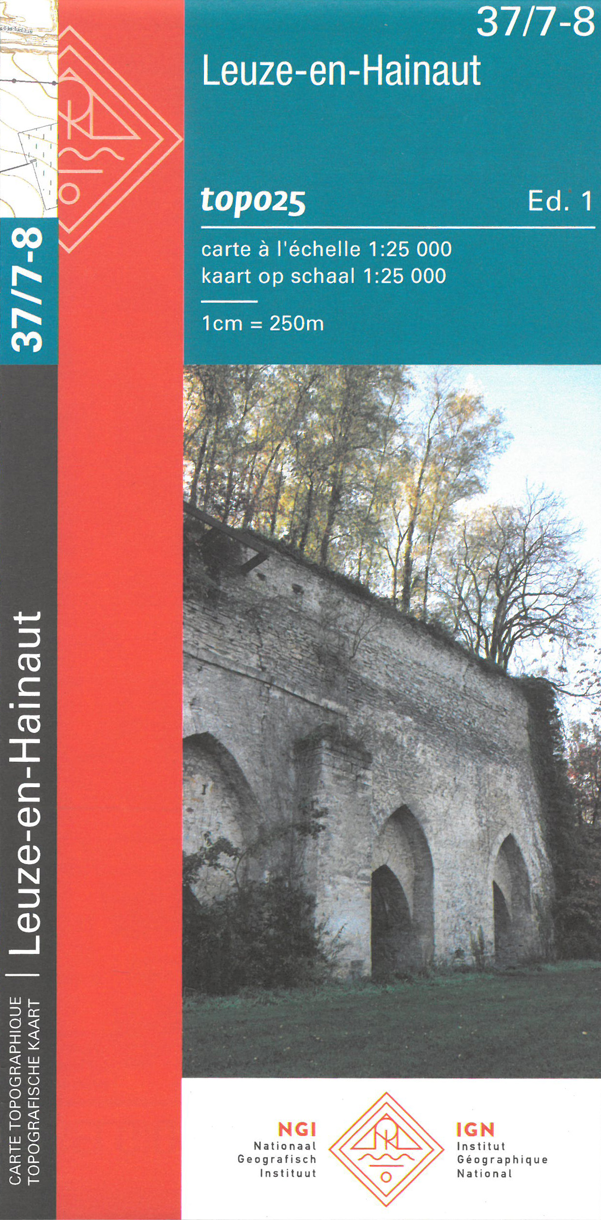
- Leuze-en-Hainaut NGI Topo 37/7-8
- Topographical survey of Belgium at 1:20,000 from Nationaal Geografisch Instituut / Institut Géographique National, the country’s national survey organization. Each 20K map covers one quarter of the corresponding 1:50,000 map (with adjustments in the border and coastal areas). The maps provide all the information expected of topographic mapping... Read more
- Also available from:
- De Zwerver, Netherlands

Stanfords
United Kingdom
United Kingdom
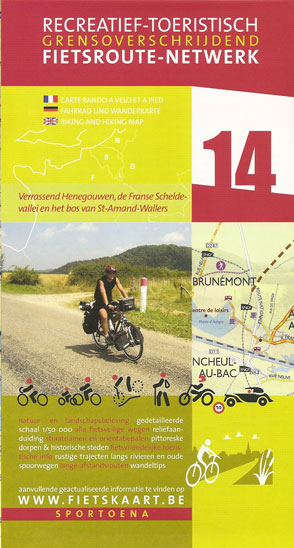
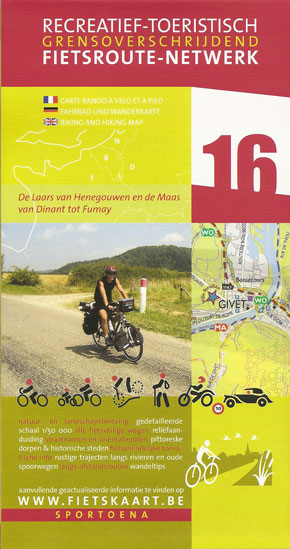
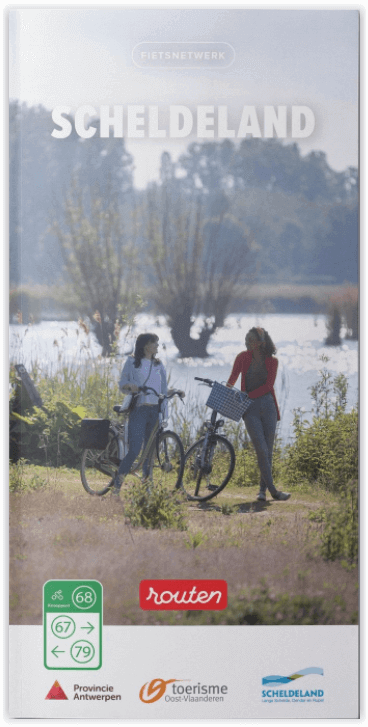
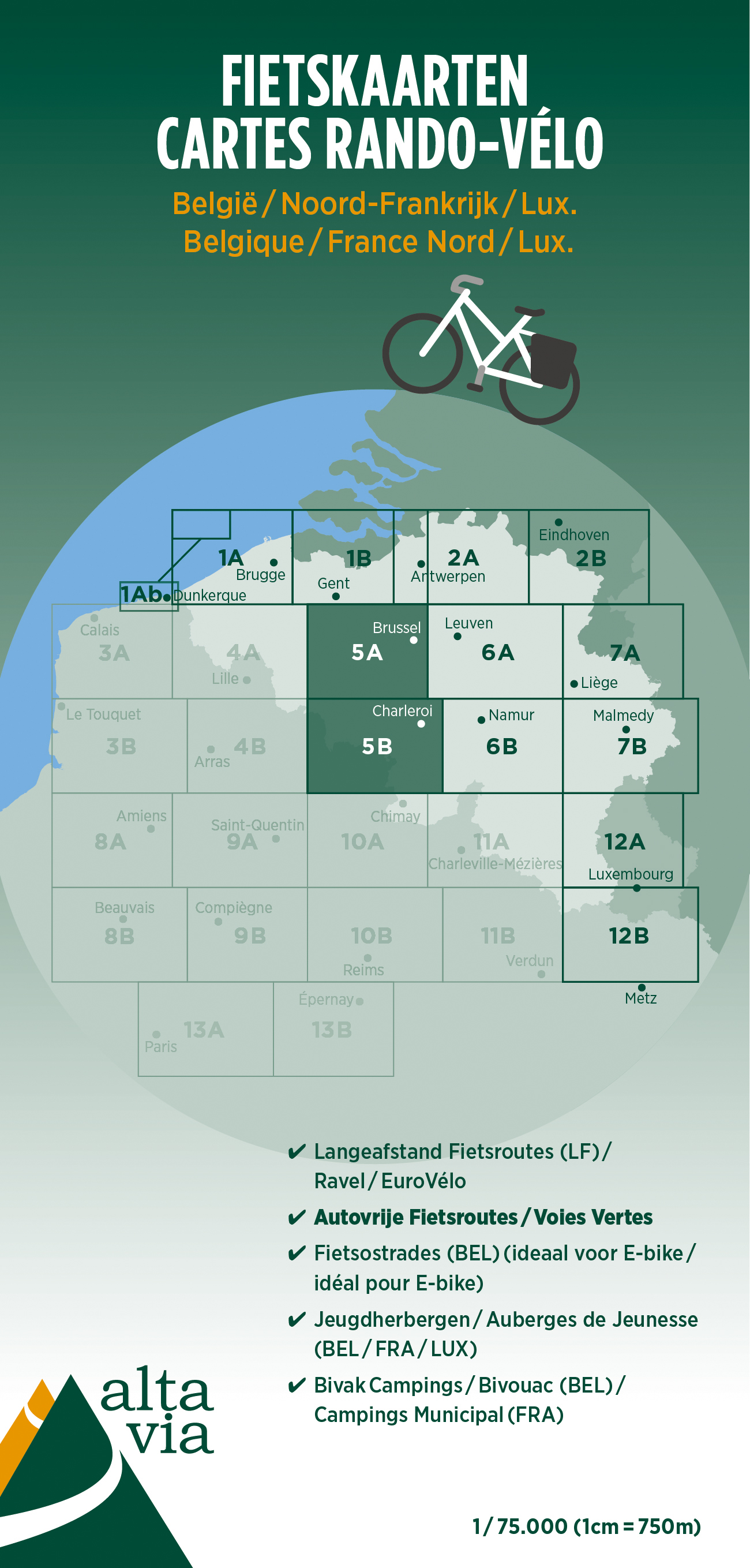
- East Flanders & Hainaut Cycling Map 5
- Alta Via`s topographical cycling maps emphasize car-free cycling routes or the so-called Voies Vertes (Green Routes), a cycling network that runs through Belgium and Luxembourg. All LF and Ravel cycle routes are included, supplemented with old railways and towpaths that have been transformed into bike paths. The map also lists all youth... Read more
- Also available from:
- De Zwerver, Netherlands
De Zwerver
Netherlands
Netherlands
- Fietskaart 5 Oost Vlaanderen & Henegouwen | Alta Via
- Alta Via`s topographical cycling maps emphasize car-free cycling routes or the so-called Voies Vertes (Green Routes), a cycling network that runs through Belgium and Luxembourg. All LF and Ravel cycle routes are included, supplemented with old railways and towpaths that have been transformed into bike paths. The map also lists all youth... Read more