
Croatia
Description
 Although renowned for its sunny beaches, Croatia does not make haste establishing long distance hiking trails. European long distance trails E6 and E7 are planned to run through Croatia, but hiking enthousiasts will find little more than a dotted line on the map to show where the trail is supposed to come.
So skip Croatia? No, certainly not. The country offers some outstanding mountain landscapes, with towering karst formations, white rocks in polished formations and deep crags. They are part of the Dinaric Alps and typical for Croatia. In between the limestone ranges are forests, and green slopes covered in snow until spring, when the crocuses start to bloom. This makes for some lovely walking, also because temperatures are still agreeable at this time of year. The mountains are not very high. Mount Croatia Dinara is the highest at 1831m, a large dry outcrop surrounded by wilderness.
Walking the mountains is a popular local pastime. The Croatians will tell you where to go and how to find the best mountain huts. There are numerous great 2- or 3-day hikes. Many trails are well kept and marked profusely in red and white. Most popular are the Velebit range, and Paklenica with its bizarre limestone rocks and peaks up to 1750m high.
Don't forget the Adriatic Sea coast with its many islands. These are easy to reach, often interconnected and differ considerably one from the other. Hiking Rab, Pag and Vis is fun, but beware: one hiker stepped on a landmine not long ago, so keep away from any military grounds. Spring and autumn are the best seasons, particularly in these low parts, because summer can get very hot. If you want to go in summer anyway, start out early and carry lots of drinking water.
Trails
Regions


Links
Facts
Reports
Guides and maps
Lodging
Organisations
Tour operators
GPS
Other
Books

United Kingdom
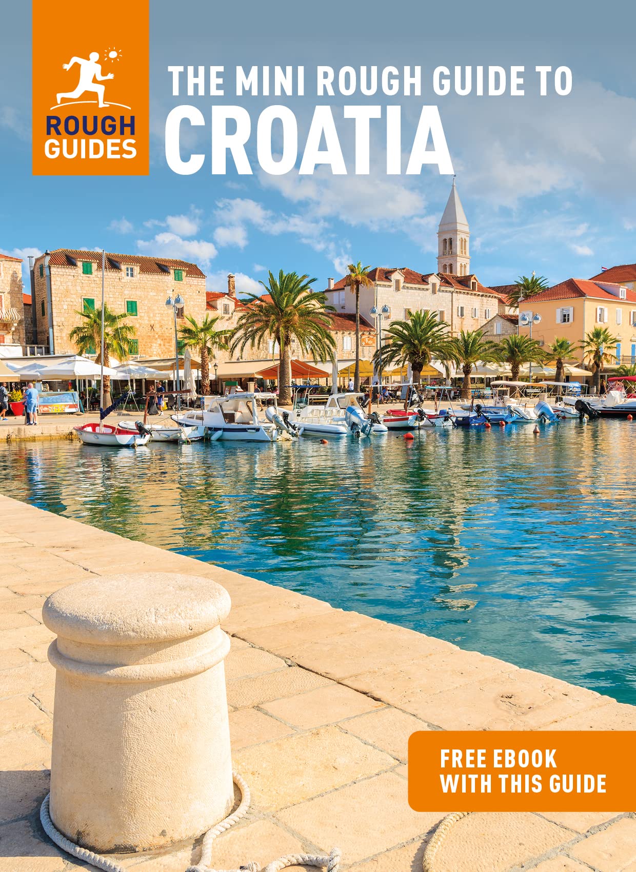
- Complete Travel Guide to Croatia
- Things You Must Know Before Visiting Croatia Read more

United Kingdom
2022
- Also available from:
- De Zwerver, Netherlands

United Kingdom
- Moon Croatia & Slovenia: With Montenegro (Fourth Edition)
- Beaches & Waterfalls, Coastal Drives, Castles & Ruins Read more

United Kingdom
2019
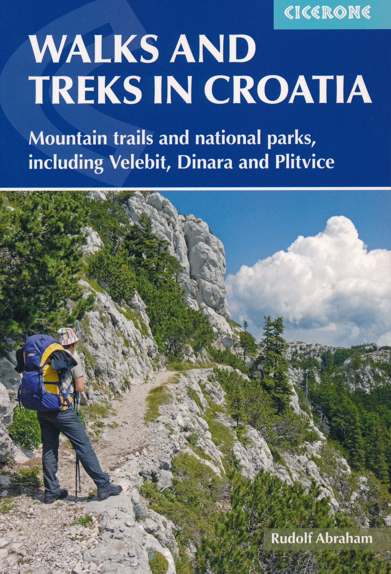
- Walks and Treks in Croatia
- mountain trails and national parks, including Velebit, Dinara and Plitvice Read more
- Also available from:
- De Zwerver, Netherlands
Netherlands
2019
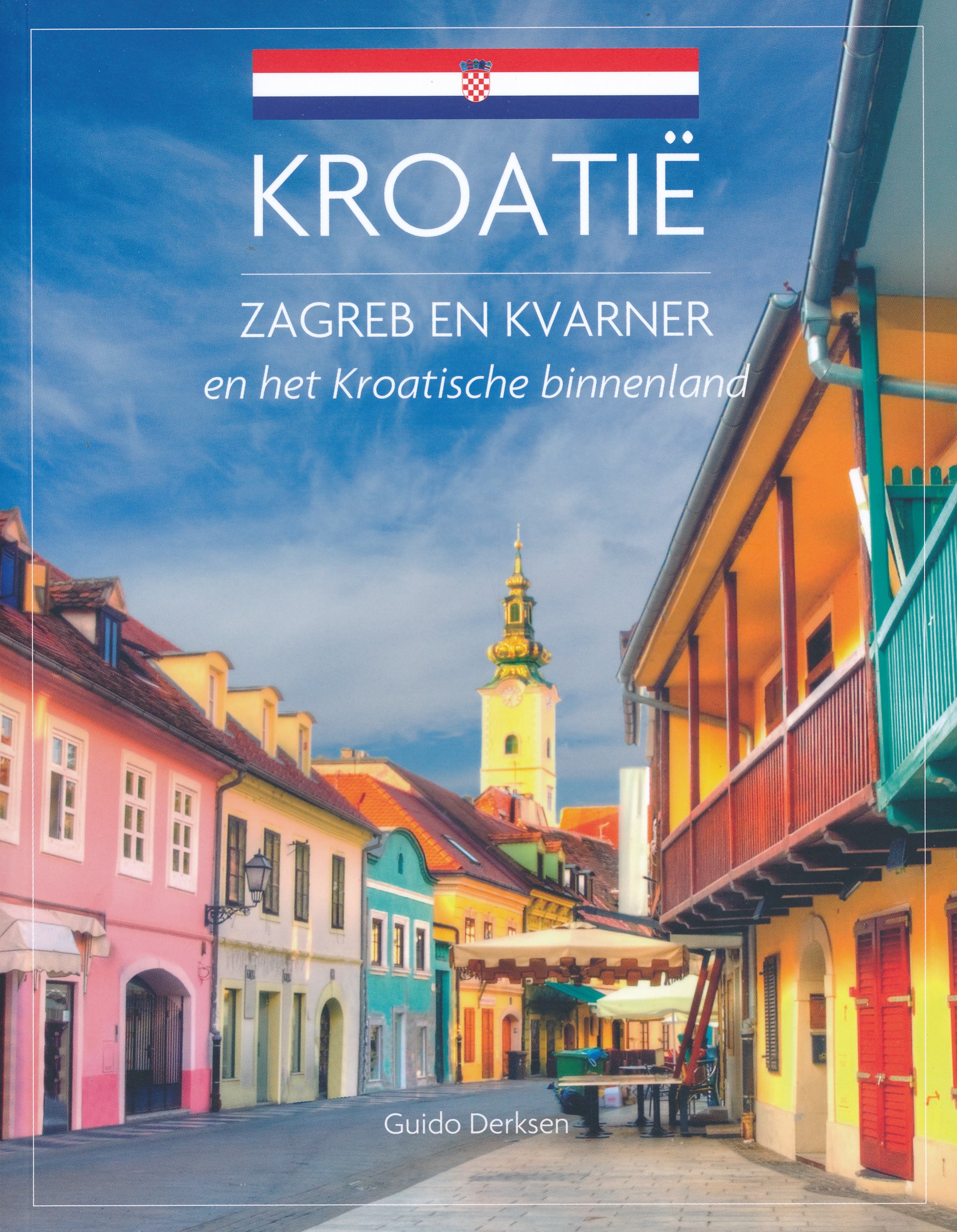
- Wandelgids Walks and treks in Croatia - Kroatië | Cicerone
- This guide describes day walks and treks in all Croatia's main hiking areas and national parks on the mainland, from the forested hills around Zagreb, to the roof of Croatia on the Bosnian border, and the national parks of Northern Velebit, Paklenica, Risnjak, UNESCO-listed Plitvice Lakes and more. Read more

United Kingdom
- Beyond The Beaches
- Your Ultimate Croatia Travel Guide (An Insider's Guide to Croatia's Hidden Gems) Read more

United Kingdom
2014
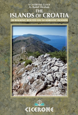
- The Islands of Croatia
- 30 walks on 14 Adriatic islands Read more
- Also available from:
- De Zwerver, Netherlands
Netherlands
2014
- Wandelgids Islands of Croatia | Cicerone
- This guidebook describes 30 day walks on the islands of the Croatian Adriatic, ranging from short, easy coastal strolls to more challenging, full day outings over rocky ridges and summits, with spectacular views of the Dalmatian coast. Featuring routes on 14 Croatian islands, including the islands of Hvar and Mljet, as well as quieter islands. Read more
Netherlands
- 50 Years of Childhood
- Instead of an Introduction This is a book with singing. Singing without a good ear for music, without a good voice, without a contrabass. Only a book. Is there a bigger and a happier sadness in the Universe. If someone recognizes themselves in this book, I will be very glad, because I did not imagine them like that at all. Instead of an... Read more
- Also available from:
- Bol.com, Belgium
Belgium
- 50 Years of Childhood
- Instead of an Introduction This is a book with singing. Singing without a good ear for music, without a good voice, without a contrabass. Only a book. Is there a bigger and a happier sadness in the Universe. If someone recognizes themselves in this book, I will be very glad, because I did not imagine them like that at all. Instead of an... Read more
Netherlands
2010
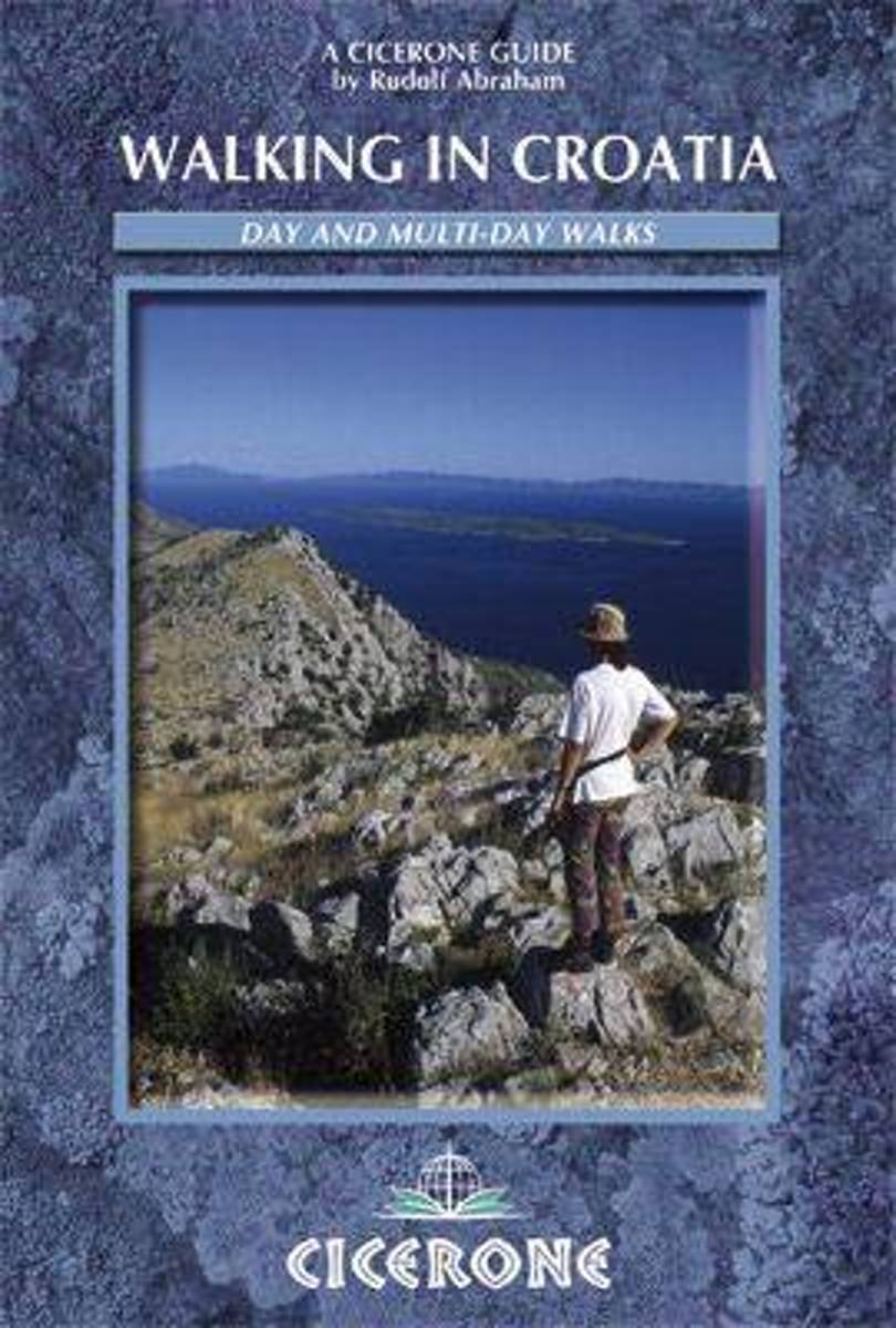
- Walking in Croatia
- This guidebook contains detailed route descriptions for 19 day walks and 7 multi-day treks in Croatia's Dinaric Alps and the Croatian islands. The routes are both circular and point-to-point treks, and vary from 3km easy strolls to strenuous multi-day hut-to-hut mountain treks. The terrain varies from gently sloping hills to rugged tops and... Read more
- Also available from:
- Bol.com, Belgium
Belgium
2010
- Walking in Croatia
- This guidebook contains detailed route descriptions for 19 day walks and 7 multi-day treks in Croatia's Dinaric Alps and the Croatian islands. The routes are both circular and point-to-point treks, and vary from 3km easy strolls to strenuous multi-day hut-to-hut mountain treks. The terrain varies from gently sloping hills to rugged tops and... Read more
Netherlands
- Rick Steves Croatia & Slovenia (Sixth Edition)
- You can count on Rick Steves to tell you what you really need to know when traveling to Croatia and Slovenia.With this guide, youll explore charming towns and undiscovered natural wonders. Stroll atop the walls that encircle romantic Dubrovnik, wander through the Roman ruins in the heart of bustling Split, and set sail to the islands of... Read more
- Also available from:
- Bol.com, Belgium
Belgium
- Rick Steves Croatia & Slovenia (Sixth Edition)
- You can count on Rick Steves to tell you what you really need to know when traveling to Croatia and Slovenia.With this guide, youll explore charming towns and undiscovered natural wonders. Stroll atop the walls that encircle romantic Dubrovnik, wander through the Roman ruins in the heart of bustling Split, and set sail to the islands of... Read more
Netherlands
- The Rough Guide to Croatia
- Now firmly back on the tourist map, Croatia offers visitors the choice of some of Europe's finest coastal and mountain scenery as well as historic and vibrant cities such as Dubrovnik and Zagreb. This Rough Guide has lively accounts of all the sights, and reviews of the best value-for-money accommodation and dining options. Informed background... Read more
- Also available from:
- Bol.com, Belgium
Belgium
- The Rough Guide to Croatia
- Now firmly back on the tourist map, Croatia offers visitors the choice of some of Europe's finest coastal and mountain scenery as well as historic and vibrant cities such as Dubrovnik and Zagreb. This Rough Guide has lively accounts of all the sights, and reviews of the best value-for-money accommodation and dining options. Informed background... Read more
Maps

United Kingdom
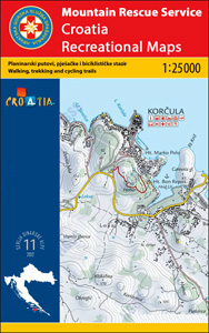
- Omiška Dinara
- Omiška Dinara Mountains on the Adriatic coast of Croatia on a contoured and GPS compatible, double-sided map at 1:25,000 from the Croatian Mountain Rescue Service. Coverage extends from Dugi Rat and Omiš to just beyond Vruja and inland beyond the A1 motorway to the hill along the Cetina River. Contours at 20m intervals enhanced by relief... Read more


United Kingdom
- Dinara - Troglav Group East
- The south-eastern part of the Dinara - Troglav mountain range on the border of southern Croatia and Bosnia-Herzegovina on a contoured and GPS compatible map at 1:25,000 from the Croatian Mountain Rescue Service. Coverage extends southwards from the peak of Troglav to Maljkovo near the Perucko Lake.Contours at 10m intervals enhanced by relief... Read more

United Kingdom
- Brac Island
- The island of Brac on the Adriatic coast of Croatia on a contoured and GPS compatible map at 1:25,000 from the Croatian Mountain Rescue Service, highlighting recommended cycling routes, with 26 routes profiles. The island is shown on both sides of the map with similar cartography (contours at 10m intervals enhanced by relief shading to provide... Read more

United Kingdom
- Dinara - Troglav Group West
- The north-western part of the Dinara - Troglav mountain range on the border of southern Croatia and Bosnia-Herzegovina on a contoured and GPS compatible map at 1:25,000 from the Croatian Mountain Rescue Service. With the peak of Troglav towards the eastern edge of the map, coverage extends from the town of Vrlika northwards to the Martinova... Read more

United Kingdom
- Lošinj Island Croatian Mountain Rescue Service 25K Map
- The island of Lošinj on the Adriatic coast of Croatia on a double-sided, contoured and GPS compatible map at 1:25,000 from the Croatian Mountain Rescue Service, highlighting hiking paths, including trails on the southern part of Cres and on the nearby islands of Unije, Susak and Ilovik.Contours at 10m intervals enhanced by relief shading... Read more
United Kingdom
- Dinara
- The south-eastern part of the Dinara - Troglav mountain range on the border of southern Croatia and Bosnia-Herzegovina on a contoured and GPS compatible map at 1:25,000 from the Croatian Mountain Rescue Service. Coverage extends southwards from the peak of Troglav to Maljkovo near the Perucko Lake.Contours at 10m intervals enhanced by relief... Read more

United Kingdom
- Drava Cartographia Water Sports & Cycling Map
- The course of the river Drava along the border of Hungary and Croatia and its section in Croatia to is confluence with the Danube on a detailed contoured map at 1:75,000 from Cartographia in Budapest highlighting waymarked and recommended cycling routes, etc.The course of the river is presented on four panels. An overprint highlights waymarked... Read more

United Kingdom
- Biokovo Mountains Croatian Mountain Rescue Service 25K Map
- Biokovo Mountains on the Adriatic coast of Croatia on a contoured and GPS compatible, double-sided map at 1:25,000 from the Croatian Mountain Rescue Service. Coverage includes the resorts of Baška Voda, Makarska,, Tucpi and Podgora.Contours at 10m intervals enhanced by relief shading provide excellent presentation of the terrain, with markings... Read more
Netherlands

United Kingdom
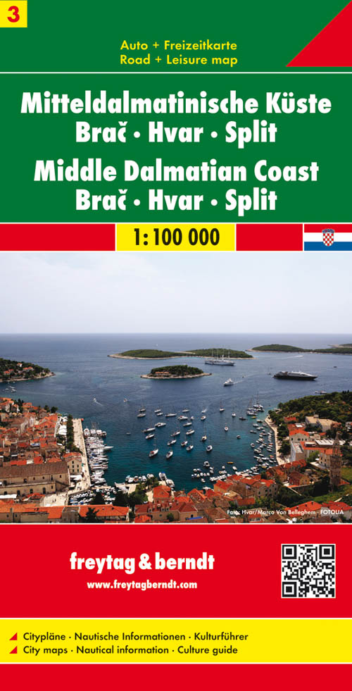
- Middle Dalmatian Coast 3 - Brac - Hvar - Split F&B
- The Dalmatian Coast of Croatia from Split southwards to Gradec on a detailed map at 1:100,000 from Freytag & Berndt with large icons indicating various facilities including campsites and beaches, ferry connections, etc.Coverage includes the islands of Brac, Hvar, Vis, Korcula and Lastovo, plus the northern part of the Peljesac peninsula. The... Read more
- Also available from:
- De Zwerver, Netherlands
Netherlands
- Wegenkaart - landkaart 03 Dalmatische Kust Brac - Hvar - Split | Freytag & Berndt
- The Dalmatian Coast of Croatia from Split southwards to Gradec on a detailed map at 1:100,000 from Freytag & Berndt with large icons indicating various facilities including campsites and beaches, ferry connections, etc.Coverage includes the islands of Brac, Hvar, Vis, Korcula and Lastovo, plus the northern part of the Peljesac peninsula. The... Read more

United Kingdom
- Middle Dalmatian Coast 4 - Mljet - Medugorje - Dubrovnik F&B
- The southernmost part of the Dalmatian Coast of Croatia including Dubrovnik on a detailed map at 1:100,000 from Freytag & Berndt with large icons indicating various facilities including campsites and beaches, ferry connections, etc.Coverage includes the islands of Mljet and Sipan, and the southern part of the Peljesac peninsula. The map shows... Read more
- Also available from:
- De Zwerver, Netherlands
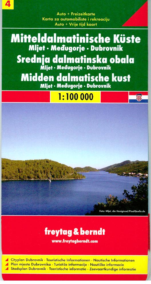
Netherlands
- Wegenkaart - landkaart 04 Dalmatische Kust Mljet - Dubrovnik - Medugorje | Freytag & Berndt
- The southernmost part of the Dalmatian Coast of Croatia including Dubrovnik on a detailed map at 1:100,000 from Freytag & Berndt with large icons indicating various facilities including campsites and beaches, ferry connections, etc.Coverage includes the islands of Mljet and Sipan, and the southern part of the Peljesac peninsula. The map shows... Read more
Netherlands
2022