GR56 - Tour de l'Ubaye
Description
- Name GR56 - Tour de l'Ubaye (GR56)
- Length of trail 90 km, 56 miles
- Length in days 6 days
- Start of trail Barcelonnette
- End of trail Barcelonnette
- Traildino grading SW, Strenuous walk, mountain trail
- Hut tour grading T2, Mountain walk


56
 Circular trail around Barcelonnette, 6 days
This GR56 is a round tour in the French Alps, between the well known Mercantour, Écrins and Queyras. Because most people rather go to the big names, you can be pretty sure this hike offers more tranquility and originality then elsewhere in the French Alps.
Select some tracks
☐Tour de l'Ubaye (variante), 27km
☐GR 56 Dreiländereck B D NL nach B D LUX, 42km
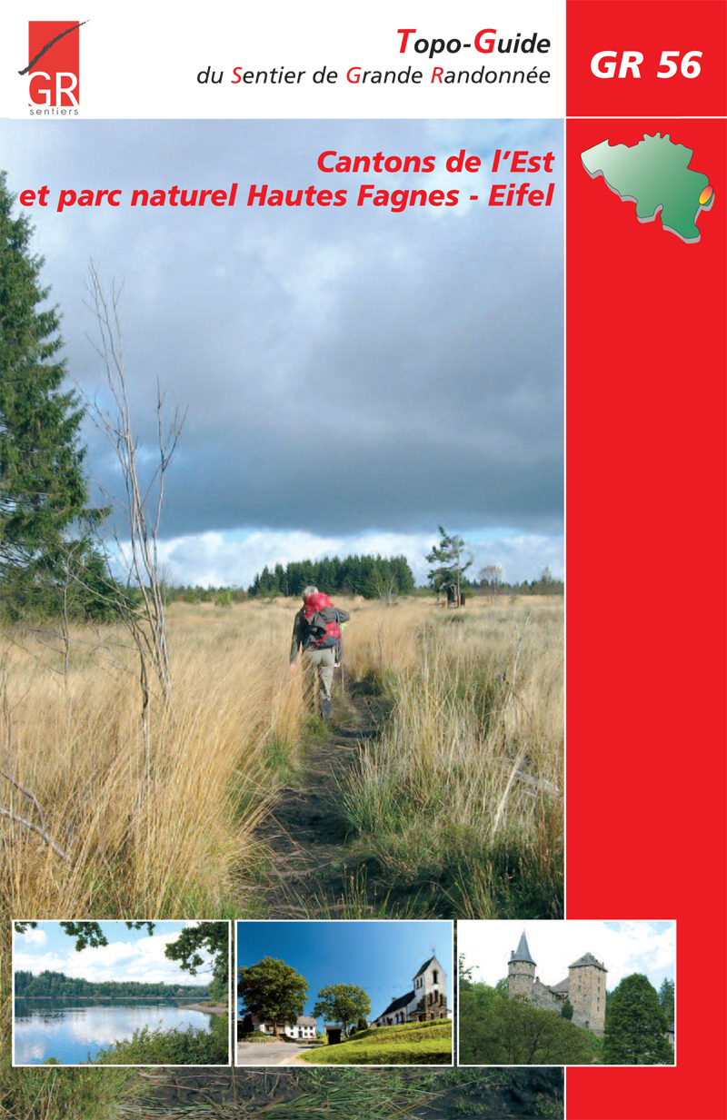
☐GR 56 (Etappe St. Vith / Ligneuville) Cantons de l'Est et parc naturel Hautes Fagnes - Eifel, 19km
☐GR 56 (Etappe Amel / Losheimergraben) Cantons de l'Est et parc naturel Hautes Fagnes - Eifel, 22km
☐GR 56 (Etappe Burg Reuland / St. Vith) Cantons de l'Est et parc naturel Hautes Fagnes - Eifel, 15km
☐GR 56 (Etappe Schönberg / Burg Reuland) Cantons de l'Est et parc naturel Hautes Fagnes - Eifel, 21km
☐GR 56 (Etappe Losheimergraben / Schönberg) Cantons de l'Est et parc naturel Hautes Fagnes - Eifel, 21km
☐GR 56 Liaison Gare Hergenrath, 1.4km
☐GR 56 Liaison Gare d'Eupen, 1.9km
☐GR 56 Hochwasservariante, 0.7km
Map

Links
Facts
Reports
Guides and maps
Lodging
Organisations
Tour operators
GPS
Other
Books

Stanfords
United Kingdom
2019
United Kingdom
2019
- La Traversée des Alpes de la Maurienne a l`Ubaye GR5/GR56
- 9 days from Modane to Larche by the GR5, as much for the tour of Ubaye.Grande Traversée des Alpes: de la Maurienne a l`Ubaye, FFRP topoguide Ref. No. 531, covering the third stage of the GR5 in the French Alps from Modane to Larche, plus the Tour de l`Ubaye at its southern end, in all 272km for hiking routes. Current edition of this title was... Read more
More books…