
Schwarzwald
Description

The Black Forest, or Schwarzwald, is named after the huge firs that cover vast contiguous areas. If you don't like pine, then the Black Forest might not be the best destination for you. The west of Germany's most impressive mountain range – next to the Alps - is the most forested. Here you will find the highest tops and the best views. Highest mountain is the Feldberg, 1493m. The Westweg links the best parts together.
To the east, the terrain become flatter, and there is more alternation with farmland. The Ostweg introduces you to this lesser known part of the Black Forest. Here you will walk closer to the Danube than to the Rhine, and the views extend to the Swabian Jura.
Above we already mentioned two of the most famous hiking trails: the Westweg, founded in 1900, and the Ostweg. In between is the Mittelweg. All three long distance paths start in Pforzheim and fan southward to finish at river Rhine near the Swiss border.
There are also about 20 other fantastic long distance footpaths. These follow beautiful valleys, have certain themes, or cross the mountains from west to east. The best place to start your search for information is the website of the Schwarzwaldvereins.
Day hikers will be happy too. Everywhere they will find well documented and marked hiking trails.
Tourism – including walking tourism - has a long history in the Black Forest. Hotels and Gasthäuser have been in existence for often more than a century, handed over from one generation to the next. In every village and on every mountain you'll find something, usually opan all year. There are also some 30 Wanderheime, uncostly and pleasant accommodations.
Trails in this region
- Breisgauer WeinwegGPX
- E1GPX
- E8GPX
- GäurandwegGPX
- Gernsbacher RundeGPX
- Hansjakobweg I (Kleiner Hansjakobweg)GPX
- Hansjakobweg II (Großer Hansjakobweg)GPX
- Hochrhein HöhenwegGPX
- Hotzenwald QuerwegGPX
- Jakobsweg Breisach - Cluny
- Jakobsweg Waldshut-Vézelay
- Kandel HöhenwegGPX
- Main-Neckar-RheinwegGPX
- Markgräfler Wiwegli
- MittelwegGPX
- MurgleiterGPX
- Ortenauer WeinpfadGPX
- OstwegGPX
- Panoramaweg Baden-BadenGPX
- Querweg Freiburg-BodenseeGPX
- Querweg Gengenbach-Alpirsbach
- Querweg Lahr-RottweilGPX
- Querweg Schwarzwald-Kaiserstuhl-RheinGPX
- RenchtalsteigGPX
- RheinauenwegGPX
- SchluchtensteigGPX
- Schwarzwald Nordrand WegGPX
- Schwarzwald-Jura-Bodensee-WegGPX
- Schwarzwald-Schwäbische Alb-Allgäu-WegGPX
- WestwegGPX
- ZweitälersteigGPX
Links
Facts
Reports
Guides and maps
Lodging
Organisations
Tour operators
GPS
Other
Books

United Kingdom
- Twelve Nights
- Discover this beautiful winter gem of a novella that makes the perfect stocking filler this Christmas.`I may have been gone a long time, but I`m no stranger...` Manfred walks alone through a snowy valley, surrounded by his memories, on a pilgrimage of sorts to his childhood home. He`s been estranged from his brother Sebastian for decades, ever... Read more

United Kingdom
- Black Forest: Triberg 35K Kümmerly + Frey Map No. 40
- Black Forest: Triberg area at 1:35,000 from Kümmerly+Frey in a series GPS compatible, double-sided maps printed on durable, waterproof and tear-resistant plastic paper; contoured, with hiking and cycle routes, other recreational activities, etc. Maps in this series are at a scale of either 1:50,000 or 1:35,000. Contour interval varies from 10m... Read more


United Kingdom
- Hiking and Cycling in the Black Forest
- Walks, treks and cycle rides in southern Germany Read more

United Kingdom
2019
- Also available from:
- De Zwerver, Netherlands
Netherlands
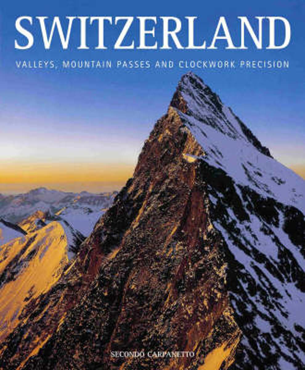
- Switzerland
- From the middle of the 18th century onward, Switzerland was a compulsory port of call for the cultured traveller. Artists and travellers competed with each other to portray its remarkable mountain landscapes, interwoven in heroic, silent atmospheres of damp woods, alternating with roaring waterfalls. Still it is not too late to encounter the... Read more
- Also available from:
- Bol.com, Belgium
Belgium
- Switzerland
- From the middle of the 18th century onward, Switzerland was a compulsory port of call for the cultured traveller. Artists and travellers competed with each other to portray its remarkable mountain landscapes, interwoven in heroic, silent atmospheres of damp woods, alternating with roaring waterfalls. Still it is not too late to encounter the... Read more
Netherlands
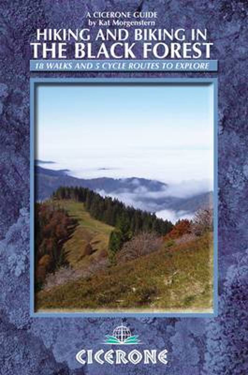
- Hiking and biking in the Black Forest
- 15 day walks, 3 multi-stage treks and 5 cycle routes are described covering the north, central and southern areas of Germany's Black Forest. The walks and cycle routes are evenly distributed across all three areas and comprise both long distance routes and day walks, although each stage of every long distance walk can also be done as individual... Read more
- Also available from:
- Bol.com, Belgium
Belgium
- Hiking and biking in the Black Forest
- 15 day walks, 3 multi-stage treks and 5 cycle routes are described covering the north, central and southern areas of Germany's Black Forest. The walks and cycle routes are evenly distributed across all three areas and comprise both long distance routes and day walks, although each stage of every long distance walk can also be done as individual... Read more
Netherlands
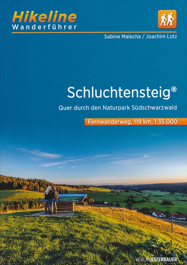
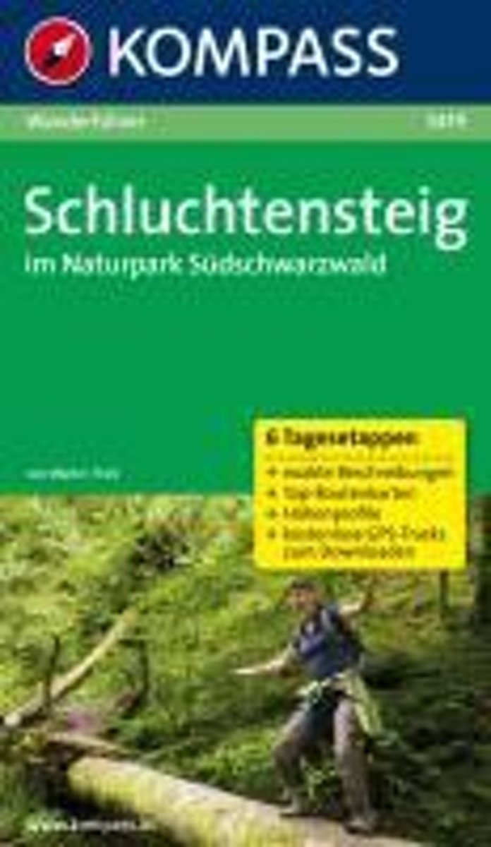
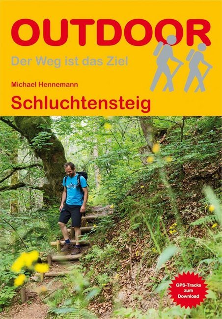
- WF5419 Schluchtensteig im Naturpark Südschwarzwald Kompass
- De Kompass wandelgids + kaart geeft een overzicht van alle wandelroutes in het gebied met nauwkeurige routeaanwijzingen en hoogteaanduidingen, De extra grote kaart, schaal 1:35 000, is ideaal om van te voren uw route uit te stippelen en om onderweg te gebruiken • naast de bekende bestemmingen, worden ook de minder bekende vermeld • openbaar... Read more
- Also available from:
- Bol.com, Belgium
Belgium
- WF5419 Schluchtensteig im Naturpark Südschwarzwald Kompass
- De Kompass wandelgids + kaart geeft een overzicht van alle wandelroutes in het gebied met nauwkeurige routeaanwijzingen en hoogteaanduidingen, De extra grote kaart, schaal 1:35 000, is ideaal om van te voren uw route uit te stippelen en om onderweg te gebruiken • naast de bekende bestemmingen, worden ook de minder bekende vermeld • openbaar... Read more
Netherlands
2019
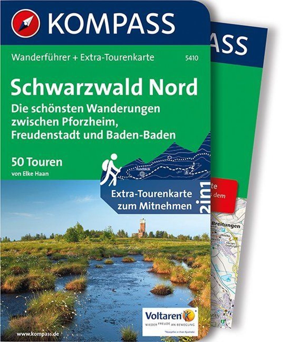
- WF5410 Zwarte Woud Noord Kompass
- De Kompass wandelgids + kaart geeft een overzicht van alle wandelroutes in het gebied met nauwkeurige routeaanwijzingen en hoogteaanduidingen, De extra grote kaart, schaal 1:35 000, is ideaal om van te voren uw route uit te stippelen en om onderweg te gebruiken • naast de bekende bestemmingen, worden ook de minder bekende vermeld • openbaar... Read more
- Also available from:
- Bol.com, Belgium
Belgium
2019
- WF5410 Zwarte Woud Noord Kompass
- De Kompass wandelgids + kaart geeft een overzicht van alle wandelroutes in het gebied met nauwkeurige routeaanwijzingen en hoogteaanduidingen, De extra grote kaart, schaal 1:35 000, is ideaal om van te voren uw route uit te stippelen en om onderweg te gebruiken • naast de bekende bestemmingen, worden ook de minder bekende vermeld • openbaar... Read more
Netherlands
- Frommer's Germany
- Features color photos of the dazzling baroque architecture, picturesque villages, and beer gardens in Germany. This title covers the country's highlights - music festivals, hiking in the Black Forest, Oktoberfest, cafes, castles, and Berlin's vibrant, and cultural scene. Read more
- Also available from:
- Bol.com, Belgium
Belgium
- Frommer's Germany
- Features color photos of the dazzling baroque architecture, picturesque villages, and beer gardens in Germany. This title covers the country's highlights - music festivals, hiking in the Black Forest, Oktoberfest, cafes, castles, and Berlin's vibrant, and cultural scene. Read more
Netherlands
- Germany Around 1900. A Colour Portrait
- This book rediscovers the very first color photographic images of Germany and with them a precious period of turn-of-the-century peace and prosperity. The images, dated from between 1889 and 1911, derive from the private collection of Marc Walter and, like TASCHEN's bestselling American Odyssey, are further rare examples of the Photochrom... Read more
- Also available from:
- Bol.com, Belgium
Belgium
- Germany Around 1900. A Colour Portrait
- This book rediscovers the very first color photographic images of Germany and with them a precious period of turn-of-the-century peace and prosperity. The images, dated from between 1889 and 1911, derive from the private collection of Marc Walter and, like TASCHEN's bestselling American Odyssey, are further rare examples of the Photochrom... Read more

Netherlands
2006
- Schwarzwald - Vogesen
- Die schönsten und spannendsten Wanderberge im Schwarzwald und in den Vogesen präsentiert dieser Führer in einer Auswahl von 50 Wandervorschlägen für jede Kondition. Vom alpinen Steig am Feldberg, der höchsten Erhebung der deutschen Mittelgebirge, spannt sich der Bogen bis zum Grand Ballon, dem höchsten Berg der Vogesen, vom Belchen als dem... Read more
- Also available from:
- Bol.com, Belgium
- De Zwerver, Netherlands
Belgium
2006
- Schwarzwald - Vogesen
- Die schönsten und spannendsten Wanderberge im Schwarzwald und in den Vogesen präsentiert dieser Führer in einer Auswahl von 50 Wandervorschlägen für jede Kondition. Vom alpinen Steig am Feldberg, der höchsten Erhebung der deutschen Mittelgebirge, spannt sich der Bogen bis zum Grand Ballon, dem höchsten Berg der Vogesen, vom Belchen als dem... Read more
Netherlands
2006
- Wandelgids Schwarzwald - Vogesen | Rother Bergverlag
- Uitstekende wandelgids van het Zwarte Woud en een deel van de Vogezen. Nauwkeurig beschreven met praktische info per tocht. De ‘Rother Wanderbücher’ behandelen telkens de 50 mooiste wandelingen, die variëren van eenvoudige kindvriendelijke wandelingen tot routes die aanzienlijk meer ervaring vereisen. Uitvoerige routebeschrijvingen, een... Read more
Maps

United Kingdom
- St. Blasien - Todtmoos - Hotzenwald - NP South Black Forest Kompass 898
- St. Blasien - Todtmoos - Hotzenwald in the southern Black Forest on a detailed, GPS compatible map at 1:25,000 from Kompass with local and long-distance footpaths, cycling routes, accommodation, etc, printed on durable, waterproof and tear-resistant synthetic paper.KOMPASS HIKING & RECREATIONAL MAPS: this title is part of an extensive series... Read more

United Kingdom
- Black Forest: Central and Northern Black Forest Cycle Tour (260km) Bikeline Map/Guide
- Northern and Central Black Forest Cycle Tour, a 260-km long route, presented by Verlag Esterbauer in a guide with maps at 1:50,000. The route nests between the Rhine in the west and the Neckar in the east, and extends from the Kinzig Valley in the south northwards to just short of Karlsruhe and Pforzheim. Extensive information is conveyed by... Read more

United Kingdom
- Colline di Forlí
- Map No. 127, Colline di Forlí, in a series of GPS compatible hiking maps at 1:50,000 from the Istituto Geografico Adriatico, covering parts of central Italy: eastern Tuscany, with northern Umbria and the Marches, plus the south-eastern of part of Emilia-Romagna.The maps have contours at 50m intervals with additional shading and numerous spot... Read more

United Kingdom
- Monti Sibillini National Park Edizioni Multigraphic 60/61
- Monti Sibillini National Park at 1:25,000 on a double-sided contoured map from Edizioni Multigraphic highlighting local waymarked hiking routes including the GAS – Grand Anello dei Sibilini, the circular tour around the mountains.The map has contours at 25m intervals with colouring for woodlands. Waymarked routes are highlighted and annotated... Read more

United Kingdom
- Freudenstadt - Baiersbronn - Simmersfeld - Lossburg - Alpirsbach Kompass 878
- Bad Freudenstadt - Baiersbronn - Simmersfeld - Loßburg area of northern Black Forest on a detailed, GPS compatible map at 1:25,000 from Kompass with local and long-distance footpaths, cycling routes, accommodation, etc, printed on durable, waterproof and tear-resistant synthetic paper.KOMPASS HIKING & RECREATIONAL MAPS: this title is part of an... Read more

United Kingdom
- Transrhodopi - Long distance hiking and biking trail From Trigrad to Ivaylovgrad
- Western Rhodope Mountains at 1:100,000 on a contoured GPS compatible map from Domino extending from just west of the Pirin National Park to Asenovgrad in the north-east. The map is double-sided with a good overlap between the sides. Topography is shown by contours at 50m intervals with relief shading and spot heights, plus colouring for... Read more

United Kingdom
- Southern Black Forest Cycle Tour (240km) Bikeline Map/Guide
- Southern Black Forest Cycle Tour, a 240-km long route around the Black Forest Nature Park starting in Freiburg and including Titsee, Waldshut-Tiengen, Basel and the German bank of the Rhine, presented by the Verlag Esterbauer in guide with maps at 1:50,000 showing the route and its variants. Extensive information is conveyed by symbols,... Read more

United Kingdom
- Monte Fumaiolo - Monte Comero 18
- Map No. 18, Monte Fumaiolo - Alto Tevere, in series of contoured, GPS compatible hiking maps at 1:25,000 from the Istituto Geografico Adriatico, covering mainly the spine of the Apennines along the borders of Tuscany, Emilia-Romagna, Umbria and the Marches.Map in this series have contours at 25m intervals with additional shading and numerous... Read more

United Kingdom
- Freiburg and Environs Regional Cycling Map
- Freiburg and its Environs on a waterproof, tear-resistant, GPS compatible cycling map at 1:75,000 from the ADFC (Allgemeiner Deutscher Fahrrad-Club - the official German cycling federation), in a series of maps with extensive overprint for long-distance and local cycling routes. GPS waypoints, route profiles, details of online links for... Read more
United Kingdom
- Alpe della Luna 17
- Map No. 16, Monte Carpegna - Sasso di Simone, in series of contoured, GPS compatible hiking maps at 1:25,000 from the Istituto Geografico Adriatico, covering mainly the spine of the Apennines along the borders of Tuscany, Emilia-Romagna, Umbria and the Marches.Map in this series have contours at 25m intervals with additional shading and... Read more
United Kingdom
- Bagno di Romagna Monti Editore 19
- Map No. 19, Bagno di Romagna, in series of contoured, GPS compatible hiking maps at 1:25,000 from the Istituto Geografico Adriatico, covering mainly the spine of the Apennines along the borders of Tuscany, Emilia-Romagna, Umbria and the Marches.The maps have contours at 25m intervals with additional shading and numerous Map in this series have... Read more

United Kingdom
- Alsace - Mulhouse - Basel - Altkirch K+F Outdoor Map 2
- The southern part of Alsace around Mulhouse and Guebwiller on a GPS compatible, double-sided map at 1:50,000 from Kümmerly+Frey printed on sturdy, waterproof and tear-resistant synthetic paper; contoured, with hiking and cycling routes, sites for other recreational activities, various accommodation options, restaurants and ferme-auberge... Read more

United Kingdom
- Black Forest South Kompass 2-Map Set 887
- The southern part of the Black Forest on a set of two double-sided, GPS compatible maps at 1:50,000 from Kompass with local and long-distance footpaths, cycling routes, accommodation, etc. Coverage extends from Teningen south to Basel and the Rhine and includes Freiburg and the Naturpark Schwarzwald – the most visited part of the Black Forest. ... Read more

United Kingdom
- Alpe di San Benedetto 21
- Map No. 21, Alpe di San Benedetto: Passo del Muraglione – San Godenzo – Dicomano, in series of contoured, GPS compatible hiking maps at 1:25,000 from the Istituto Geografico Adriatico, covering mainly the spine of the Apennines along the borders of Tuscany, Emilia-Romagna, Umbria and the Marches.Map in this series have contours at 25m intervals... Read more
United Kingdom
- Monte Carpegna - Sasso di Simone
- Map No. 16, Monte Carpegna - Sasso di Simone, in series of contoured, GPS compatible hiking maps at 1:25,000 from the Istituto Geografico Adriatico, covering mainly the spine of the Apennines along the borders of Tuscany, Emilia-Romagna, Umbria and the Marches.Map in this series have contours at 25m intervals with additional shading and... Read more