
Lechweg
Description
- Name Lechweg
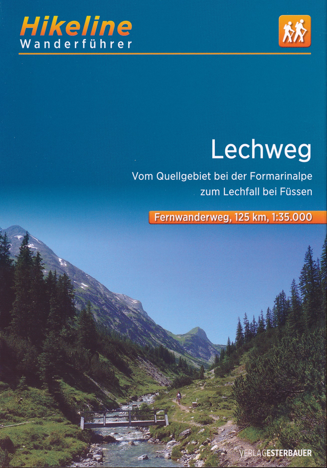
- Length of trail 125 km, 78 miles
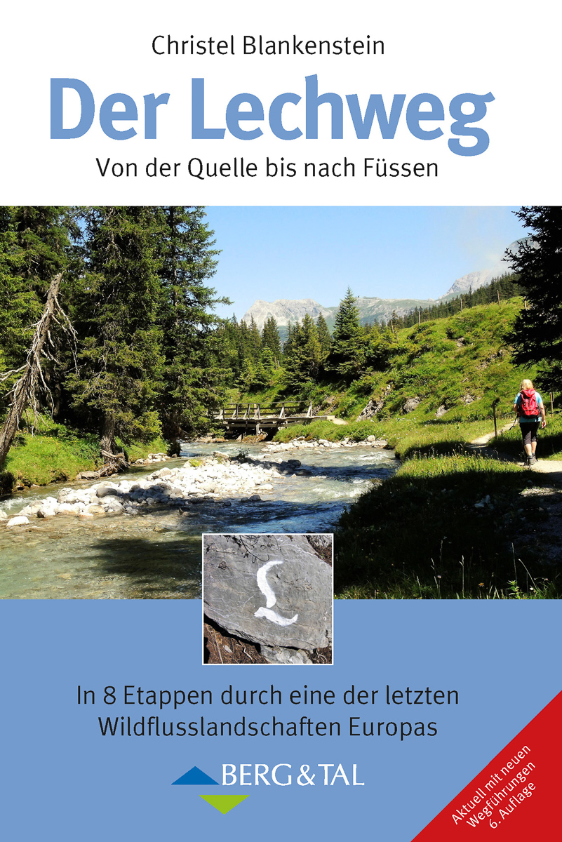
- Length in days 8 days
- Start of trail Formarinsee (At)
- End of trail Füssen (D)
- Traildino grading MW, Moderate walk, backpacking trail
- Hut tour grading T1, Walk
First trail in Europe to be qualified as Leading Quality Trail by the European Ramblers' Association. This quality mark guarantees that you will have a good experience all the way. The standard is quite difficult to meet.
What then makes the Lechweg interesting? You will follow the river in its natural and pretty valley all the way from its source (Austria) to its fall near Füssen (Germany). The start is in a truly alpine landscape: alms, forests, and wild mountain scenery. Gradually the path descends, following the river, visiting small villages. Near Füssen the path chooses a route above lakes and with views on castles. The Alps end in Füssen, and here the trail ends too.
The trail is easy. You will have to go up and down, but generally it is a pretty easy walk considering the Alpine conditions.
Links
Facts
Reports
Guides and maps
Lodging
Organisations
Tour operators
GPS
Other
Books
Netherlands
2019
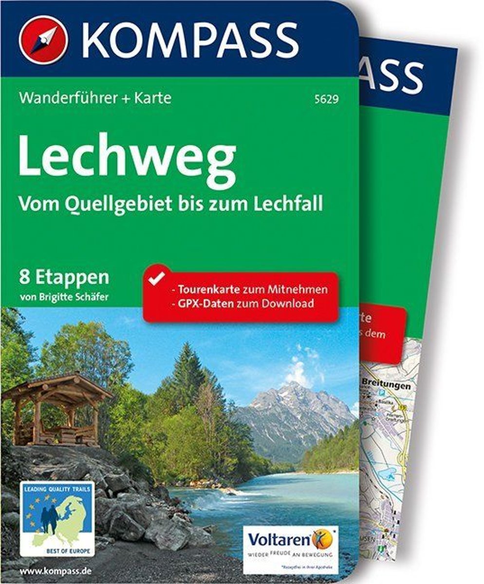
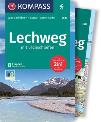
- WF5629 Lechweg • van Quellgebiet tot Lechfall Kompass
- De Kompass wandelgids + kaart geeft een overzicht van alle wandelroutes in het gebied met nauwkeurige routeaanwijzingen en hoogteaanduidingen, De extra grote kaart, schaal 1:35 000, is ideaal om van te voren uw route uit te stippelen en om onderweg te gebruiken • naast de bekende bestemmingen, worden ook de minder bekende vermeld • openbaar... Read more
- Also available from:
- Bol.com, Belgium
Belgium
2019
- WF5629 Lechweg • van Quellgebiet tot Lechfall Kompass
- De Kompass wandelgids + kaart geeft een overzicht van alle wandelroutes in het gebied met nauwkeurige routeaanwijzingen en hoogteaanduidingen, De extra grote kaart, schaal 1:35 000, is ideaal om van te voren uw route uit te stippelen en om onderweg te gebruiken • naast de bekende bestemmingen, worden ook de minder bekende vermeld • openbaar... Read more
Netherlands
2013
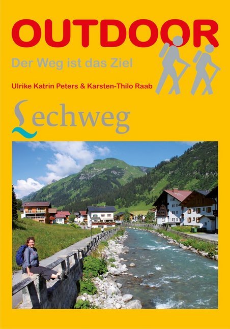
- Wandelgids Lechweg | Conrad Stein Verlag
- Der Weg ist das Ziel. 1. Auflage. Read more
Maps

United Kingdom
- Lechtal Alps - Allgau Alps F&B WK351
- Lechtaler - Allgäuer Alpen - Oberstdorf - Landeck area of the Austrian and Bavarian Alps presented at 1:50,000 in a series of contoured and GPS compatible outdoor leisure map from Freytag & Berndt with hiking and cycling routes, mountain huts, campsites and youth hostels, local bus stops, plus other tourist information. To see the list of... Read more
- Also available from:
- The Book Depository, United Kingdom

United Kingdom
Netherlands
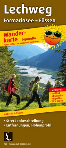
- Wandelkaart 728 Lechweg | Publicpress
- Mit Streckenbeschreibung, Entfernungen, Höhenprofil. Karte ohne Jahresangabe. Read more