Mittelweg
Description
- Name Mittelweg
- Length of trail 233 km, 145 miles
- Length in days 9 days
- Start of trail Pforzheim
- End of trail Waldshut
- Traildino grading MW, Moderate walk, backpacking trail
- Hut tour grading T1, Walk


|
Mittelweg, Pforzheim – Waldshut, 233 km, 9 days
The “Middle Way” starts in Pforzheim, just as the two other famous paths in the Black Forest, the Westweg and the Ostweg. The terrain is a bit less mountainous compared to the Westweg. In the southern part forests and farmland alternate. A little north of the Schluchsee, the path divides in a western and eastern section, meeting again in Waldshut at the Rhine and the Swiss border. Both sections explore interesting rocky fissures.
The path is well maintained, well marked, and there is plenty of accommodation.
Select some tracks
☐Grenzweg - Mittelweg, 5.5km
Links
Facts
Reports
Guides and maps
Lodging
Organisations
Tour operators
GPS
Other
Books

De Zwerver
Netherlands
2021
Netherlands
2021
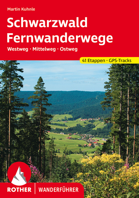
- Wandelgids Fernwanderwege Schwarzwald (Zwarte Woud) Westweg · Mittelweg · Ostweg | Rother Bergverlag
- 41 Höhenprofile, 41 Wanderkärtchen im Maßstab 1:100.000, 2 Übersichtskarten Auf der Straße nach Süden",: Die drei bekanntesten und längsten Fernwanderwege des Schwarzwaldes - Westweg, Mittelweg und Ostweg - beginnen alle in der Schmuck- und Goldstadt Pforzheim am nördlichen Rand des Schwarzwalds und führen nach Süden bis an die Schweizer... Read more


