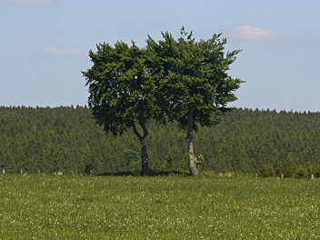
Rhein-Rureifel-Weg
Description
- Name Rhein-Rureifel-Weg (HWW12)
- Length of trail 127 km, 79 miles
- Length in days 7 days
- Start of trail Brohl-Lützing
- End of trail Monschau
- Traildino grading EW, Easy walk, nature trail

>12
Rhein-Rureifel-Weg, Hauptwanderweg 12 Eifelverein, HWW12, Brohl-Lützing – Monschau, 127 km, 7 days
This main trail (HWW) of the Eifelverein connects the Rhine with the lake landscape of the Rureifel. It runs east-west, through the central parts of the Eifel, the mountain area in the West of Germany bordering on Belgium and Luxembourg. The trail calls on important sights as Maria Laach, the Hocheifel, Hohe Acht (highest summit, 747 m), the source of the Ahr, the Fuhrtsbachtal (daffodil meadows bloomsing in April) and finally Monschau.
Select some tracks
☐Rhein-Venn-Weg, 28km


