Rheinsteig
Description
- Name Rheinsteig
- Length of trail 320 km, 199 miles
- Length in days 16 days
- Start of trail Bonn
- End of trail Wiesbaden
- Traildino grading EW, Easy walk, nature trail


Rhine valley, Bonn – Wiesbaden, 320 km, 18 days.
The Rheinsteig is a popular trail along the Rhine, passing many historic castles and market towns, wandering through vineyards and beautiful beech and oak forests. In the depths of the valley, the legendary river meanders. Today the river is a busy thoroughfare. On both banks run heavily traveled roads and railways. And on the water itself big towboats fight themselves upstream between Holland and Switzerland.
The Rheinsteig was opened in 2005. Other paths existed of course, including the Rheinhöhenweg (the route on the west side of the river coincides with the E8) and Rheinburgenweg, a path along the many castles. These trails are still there, but the Rheinsteig pushed them into oblivion somehow.
The Rheinsteig was noisily promoted through all media. Uschi from Ober-Kestert remembers the thousands of hikers snapping the streets of her little village - 10 houses, 19 people - with their sticks. A real shock! The following year she chased the horses from her shed, converted it into a café and B & B, and since then she welcomes walkers from all countries.
The vast hordes of the first years have disappeared, perhaps because everywhere in Germany "Steigs" have been created. These trails must meet certain standards in terms of marking and quality. The Rheinsteig was the beginning of an important revival of long distance footpaths in Germany. Those who hike the Rheinsteig, understand why. The trail is well marked and laid out, it carefully chooses the most beautiful spots, and is very well documented with its own website, multiple map series and guides. And along the Rhine, it is easy to find shelter for the night. Every village counts at least one hotel. A train connects the walker in a jiffy to Bonn, Koblenz and Wiesbaden.
Also fun for the interested hiker: you'll make a step back in time, some forty, fifty years, when tourism was booming here. Past glory now. Many hotels still function. Others are empty and poorly maintained. It is part of the charm of this path.


Links
Facts
Reports
Guides and maps
Lodging
Organisations
Tour operators
GPS
Other
Books
Netherlands
2023
Netherlands
2021
- Wandelgids Rheinsteig mit Rheinburgenweg und Rheinhöhenwegen | Rother Bergverlag
- Der romantische Mittelrhein zwischen Mainz/Wiesbaden und Bonn ist eine der spektakulärsten Landschaften Deutschlands und UNESCO-Welterbe. Neben dem Erleben der Natur trifft der Wanderer am Rhein auf viel Kultur, sehenswerte mittelalterliche Städte und die weltweit größte Burgendichte. In diesem Rother Wanderführer werden die wichtigsten... Read more

Netherlands
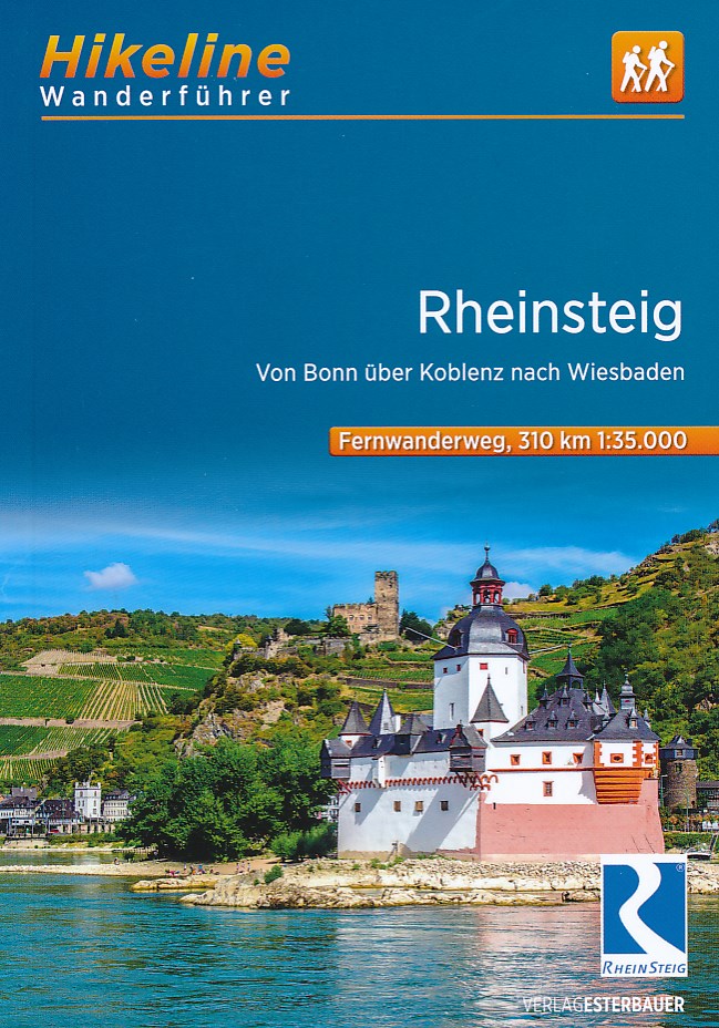
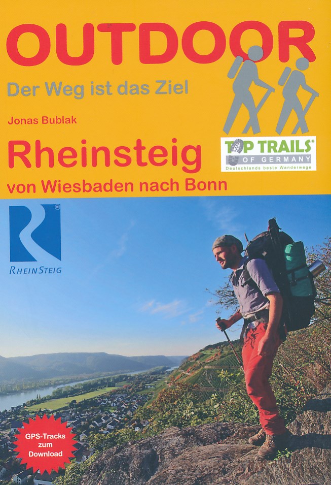
- Rheinsteig Hiking - Your pocket guide to unmissable highlights
- The 320km Rheinsteig in south-west Germany follows the twists and turns of the Rhine on its eastern bank from Bonn in North Rhine-Westphalia through Rhineland-Palatinate to Wiesbaden in the Rheingau. Narrow paths guide you through stunning scenery as you wind your way along cramped rocky gorges, up and over precipitous cliffs, past beautifully... Read more
- Also available from:
- Bol.com, Belgium
Belgium
- Rheinsteig Hiking - Your pocket guide to unmissable highlights
- The 320km Rheinsteig in south-west Germany follows the twists and turns of the Rhine on its eastern bank from Bonn in North Rhine-Westphalia through Rhineland-Palatinate to Wiesbaden in the Rheingau. Narrow paths guide you through stunning scenery as you wind your way along cramped rocky gorges, up and over precipitous cliffs, past beautifully... Read more
Netherlands
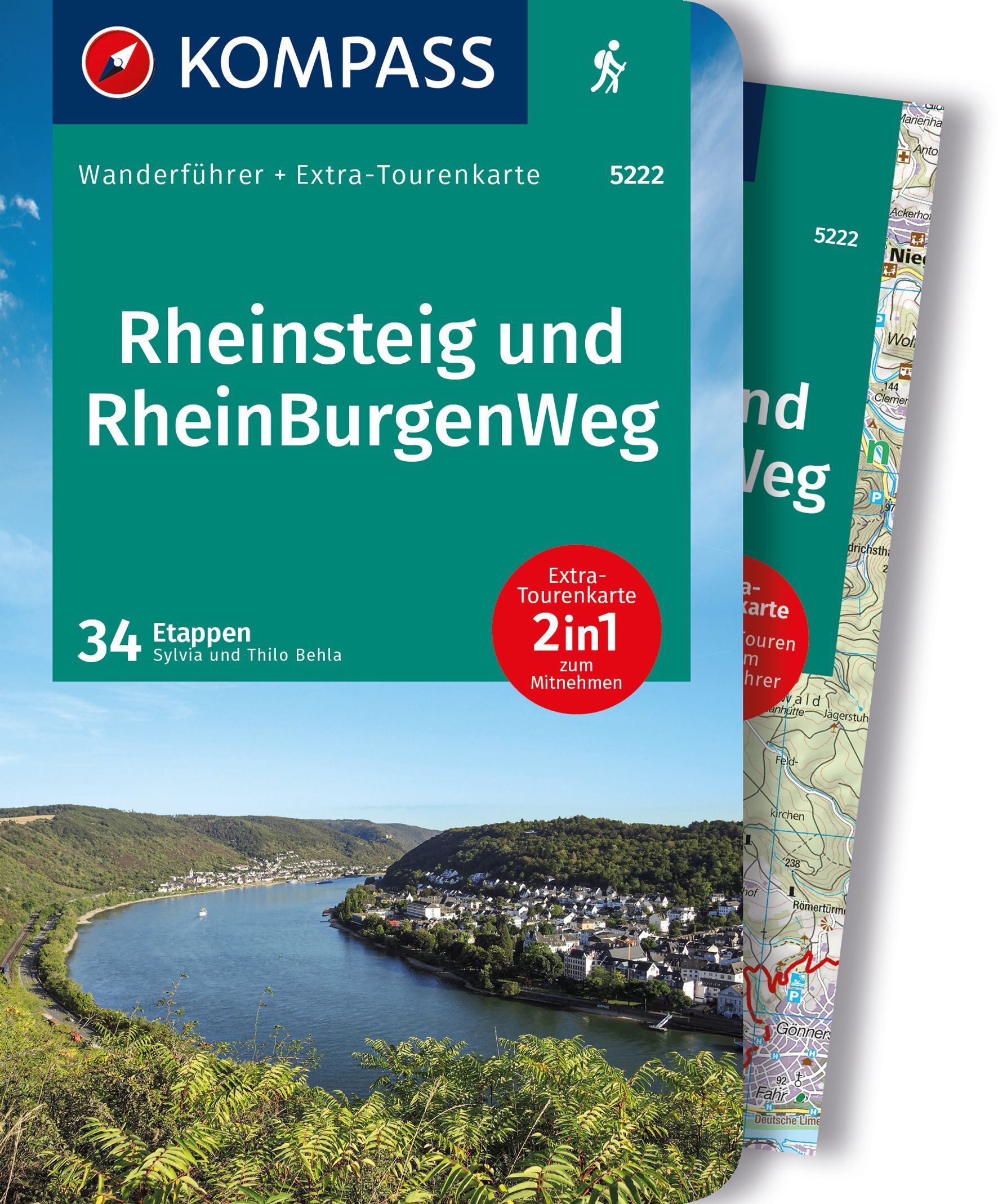
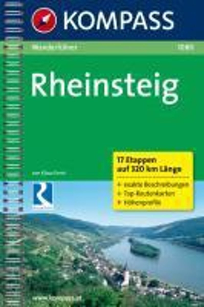
- WF1080 Rheinsteig Kompass
- 17 Etappen auf 320 km LängeDe Kompass wandelgids + kaart geeft een overzicht van alle wandelroutes in het gebied met nauwkeurige routeaanwijzingen en hoogteaanduidingen, De extra grote kaart, schaal 1:35 000, is ideaal om van te voren uw route uit te stippelen en om onderweg te gebruiken • naast de bekende bestemmingen, worden ook de minder... Read more
- Also available from:
- Bol.com, Belgium
Belgium
- WF1080 Rheinsteig Kompass
- 17 Etappen auf 320 km LängeDe Kompass wandelgids + kaart geeft een overzicht van alle wandelroutes in het gebied met nauwkeurige routeaanwijzingen en hoogteaanduidingen, De extra grote kaart, schaal 1:35 000, is ideaal om van te voren uw route uit te stippelen en om onderweg te gebruiken • naast de bekende bestemmingen, worden ook de minder... Read more
Netherlands
2019
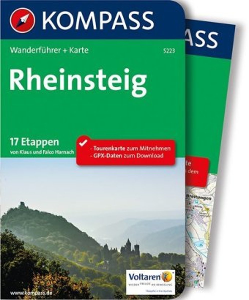
- WF5223 Rheinsteig Kompass
- De Kompass wandelgids + kaart geeft een overzicht van alle wandelroutes in het gebied met nauwkeurige routeaanwijzingen en hoogteaanduidingen, De extra grote kaart, schaal 1:35 000, is ideaal om van te voren uw route uit te stippelen en om onderweg te gebruiken • naast de bekende bestemmingen, worden ook de minder bekende vermeld • openbaar... Read more
- Also available from:
- Bol.com, Belgium
- De Zwerver, Netherlands
Belgium
2019
- WF5223 Rheinsteig Kompass
- De Kompass wandelgids + kaart geeft een overzicht van alle wandelroutes in het gebied met nauwkeurige routeaanwijzingen en hoogteaanduidingen, De extra grote kaart, schaal 1:35 000, is ideaal om van te voren uw route uit te stippelen en om onderweg te gebruiken • naast de bekende bestemmingen, worden ook de minder bekende vermeld • openbaar... Read more
Netherlands
2019
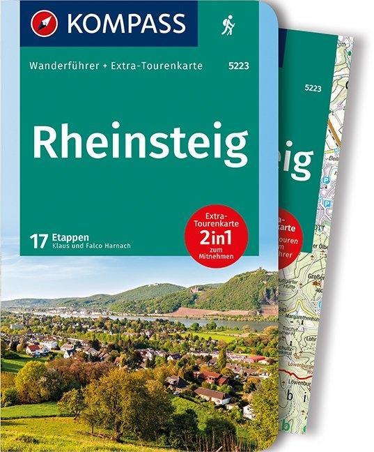
- Wandelgids 5223 Wanderführer Rheinsteig - Siebengebirge, Rheinisches Schiefergebirge, Taunus, Rheingau. | Kompass
- Wanderführer mit Extra Tourenkarte zum Mitnehmen. Read more
Netherlands
- Wandern
- In Wandern bekommen Sie das komplette deutsche Mittelgebirge und noch mehr! Mehrere 1000 Kilometer Wanderwege ziehen sich durch die deutschen Mittelgebirge. Es gibt Qualit tswege und Fernwege, Naturschutzgebiete und Nationalparks. Wer soll da noch den berblick behalten? Der 'deutsche Wanderpapst', wie ihn die internationale Wanderpresse... Read more
- Also available from:
- Bol.com, Belgium
Belgium
- Wandern
- In Wandern bekommen Sie das komplette deutsche Mittelgebirge und noch mehr! Mehrere 1000 Kilometer Wanderwege ziehen sich durch die deutschen Mittelgebirge. Es gibt Qualit tswege und Fernwege, Naturschutzgebiete und Nationalparks. Wer soll da noch den berblick behalten? Der 'deutsche Wanderpapst', wie ihn die internationale Wanderpresse... Read more
Maps

United Kingdom
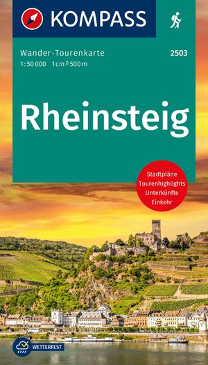
- Rheinsteig long-distance Trail Kompass 2503
- The Rheinsteig, a 306km long-distance hiking trail from Bonn to Wiesbaden along the right bank of the Rhine, including a 65km stretch of the Middle Rhine Valley, a UNESCO World Heritage area and home to many castles, historic towns and vineyards which have inspiration for many writers, artists and composers. The route is presented on 16 panels,... Read more

Netherlands
- Wandelkaart Rheinsteig 1 | Publicpress
- Die Wanderkarte stellt den ersten Teil des 320 km langen Rheinsteigs im praktischen Leporello-Format vor. Dieser Abschnitt führt von Bonn bis Lahnstein über 145 km am rechtsrheinischen Ufer entlang und in die angrenzenden Wälder und Weinberge. Auf schmalen Pfaden gelangt der Wanderer so zu tollen Aussichtspunkten über das Mittelrheintal. Welche... Read more
Netherlands
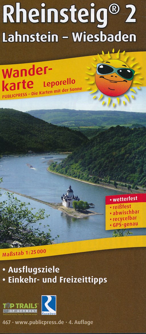
- Wandelkaart Rheinsteig 2 | Publicpress
- Die Wanderkarte beschreibt den zweiten Teil des Premiumwanderweges von Lahnstein bei Koblenz bis Wiesbaden im Leporello-Format. Die 172,5 km führen naturnah am rechtsrheinischen Ufer entlang; auch auf schmalen Pfaden in angrenzende Wälder und Weinberge durch die Regionen Mittelrhein und Rheingau. Welche Sehenswürdigkeiten außer der Loreley noch... Read more
Netherlands
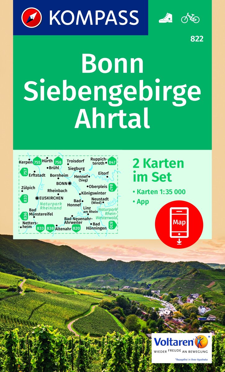
- Bonn, Siebengebirge, Ahrtal WK822
- Die KOMPASS Wanderkarten überzeugen durch eine GPS-genaue und aktuelle Karte zur einfachen Orientierung lesefreundliche Optik im idealen Maßstab von 1:25.000/1:35.000 oder 1:50.000Toeristische kaart voor wandelen, fietsen en vrije tijd met activiteitengids en stadsplattegronden • goed leesbare schaal van 1:50 000 • te gebruiken met GPS • met... Read more
- Also available from:
- Bol.com, Belgium
Belgium
- Bonn, Siebengebirge, Ahrtal WK822
- Die KOMPASS Wanderkarten überzeugen durch eine GPS-genaue und aktuelle Karte zur einfachen Orientierung lesefreundliche Optik im idealen Maßstab von 1:25.000/1:35.000 oder 1:50.000Toeristische kaart voor wandelen, fietsen en vrije tijd met activiteitengids en stadsplattegronden • goed leesbare schaal van 1:50 000 • te gebruiken met GPS • met... Read more