
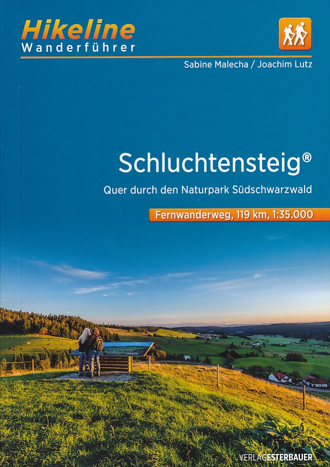
Schluchtensteig
Description
- Name Schluchtensteig
- Length of trail 118 km, 73 miles
- Length in days 6 days
- Start of trail Stühlingen
- End of trail Wehr (Baden)
- Traildino grading MW, Moderate walk, backpacking trail
- Hut tour grading T1, Walk

^~

Schluchtensteig, Stühlingen - Wehr (Baden), 118 km, 6 days
The Schluchtensteig is a top way through two of the most spectacular valleys of the Black Forest, the Wutachschlucht and the Wehratal. This new path is constructed according to the latest quality standards of the German Hiking Association. That means an interesting route, variety, little tarmac, good signage. Do not expect to walk along rivers for the entire length of the trail; in many places, the trail climbs the steep river slopes and brings you to high points with views over the Black Forest and the Alps in the south.
Select some tracks
☐Schluchtensteig [Stühlingen], 9.5km
☐Schluchtensteig [Blumberg], 14km
☐Schluchtensteig [Wutach], 10km
☐Schluchtensteig [Bonndorf], 3.3km
☐Schluchtensteig [Löffingen], 8.4km
☐Schluchtensteig [Lenzkirch], 9.9km
☐Schluchtensteig [Schluchsee], 18km
☐Schluchtensteig [Sankt Blasien], 7.7km
☐Schluchtensteig [Dachsberg], 6.1km
☐Schluchtensteig [Ibach], 5.7km
☐Schluchtensteig [Todtmoos], 13km
☐Schluchtensteig [Herrischried], 3.3km
☐Schluchtensteig [Wehr], 11km
Links
Facts
Reports
Guides and maps
Lodging
Organisations
Tour operators
GPS
Other
Books

Stanfords
United Kingdom
United Kingdom
- Hiking and Cycling in the Black Forest: Walks, treks and cycle rides in southern Germany
- 15 day walks, 3 multi-stage treks and 5 cycle routes are described covering the north, central and southern areas of Germany`s Black Forest. The walks and cycle routes are evenly distributed across all three areas and comprise both long distance routes and day walks, although each stage of every long distance walk can also be done as individual... Read more
- Also available from:
- The Book Depository, United Kingdom

The Book Depository
United Kingdom
United Kingdom
- Hiking and Cycling in the Black Forest
- Walks, treks and cycle rides in southern Germany Read more

The Book Depository
United Kingdom
2019
United Kingdom
2019
- Also available from:
- De Zwerver, Netherlands
Bol.com
Netherlands
Netherlands
- WF5419 Schluchtensteig im Naturpark Südschwarzwald Kompass
- De Kompass wandelgids + kaart geeft een overzicht van alle wandelroutes in het gebied met nauwkeurige routeaanwijzingen en hoogteaanduidingen, De extra grote kaart, schaal 1:35 000, is ideaal om van te voren uw route uit te stippelen en om onderweg te gebruiken • naast de bekende bestemmingen, worden ook de minder bekende vermeld • openbaar... Read more
- Also available from:
- Bol.com, Belgium
Bol.com
Belgium
Belgium
- WF5419 Schluchtensteig im Naturpark Südschwarzwald Kompass
- De Kompass wandelgids + kaart geeft een overzicht van alle wandelroutes in het gebied met nauwkeurige routeaanwijzingen en hoogteaanduidingen, De extra grote kaart, schaal 1:35 000, is ideaal om van te voren uw route uit te stippelen en om onderweg te gebruiken • naast de bekende bestemmingen, worden ook de minder bekende vermeld • openbaar... Read more
De Zwerver
Netherlands
Netherlands
- Wandelkaart Schluchtensteig Schwarzwald | Publicpress
- Mit Ausflugszielen, Einkehr- Freizeittipps, GPS-genau. 5. Auflage. Read more
Bol.com
Netherlands
2017
Netherlands
2017
- WF5444 Schluchtensteig, mit Hotzenwaldquerweg, Hochrhein-Höhenweg und Ostweg Kompass
- De Kompass wandelgids + kaart geeft een overzicht van alle wandelroutes in het gebied met nauwkeurige routeaanwijzingen en hoogteaanduidingen, De extra grote kaart, schaal 1:35 000, is ideaal om van te voren uw route uit te stippelen en om onderweg te gebruiken; naast de bekende bestemmingen, worden ook de minder bekende vermeld; openbaar... Read more
- Also available from:
- Bol.com, Belgium
Bol.com
Belgium
2017
Belgium
2017
- WF5444 Schluchtensteig, mit Hotzenwaldquerweg, Hochrhein-Höhenweg und Ostweg Kompass
- De Kompass wandelgids + kaart geeft een overzicht van alle wandelroutes in het gebied met nauwkeurige routeaanwijzingen en hoogteaanduidingen, De extra grote kaart, schaal 1:35 000, is ideaal om van te voren uw route uit te stippelen en om onderweg te gebruiken; naast de bekende bestemmingen, worden ook de minder bekende vermeld; openbaar... Read more
Bol.com
Netherlands
Netherlands
- Hiking and biking in the Black Forest
- 15 day walks, 3 multi-stage treks and 5 cycle routes are described covering the north, central and southern areas of Germany's Black Forest. The walks and cycle routes are evenly distributed across all three areas and comprise both long distance routes and day walks, although each stage of every long distance walk can also be done as individual... Read more
- Also available from:
- Bol.com, Belgium
Bol.com
Belgium
Belgium
- Hiking and biking in the Black Forest
- 15 day walks, 3 multi-stage treks and 5 cycle routes are described covering the north, central and southern areas of Germany's Black Forest. The walks and cycle routes are evenly distributed across all three areas and comprise both long distance routes and day walks, although each stage of every long distance walk can also be done as individual... Read more