Westweg
Description
- Name Westweg
- Length of trail 280 km, 174 miles
- Length in days 11 days
- Start of trail Pforzheim
- End of trail Basel
- Traildino grading MW, Moderate walk, backpacking trail
- Hut tour grading T1, Walk


Westweg, Pforzheim – Basel, 280 km, 11 days
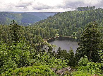
The Black Forest is another romantic corner of Germany, and even in our modern days, when forests are collections of clones of one and the same tree, you will undoubtedly be charmed by the huge firs, the stout villages in deep valleys, the traces of old tourism.
The Westweg is a path on – hm – the west side of the Schwarzwald starting in Pforzheim on the northern edge of the mountains, across the high central parts (Feldberg, 1494 m), viewing the Rhine valley, to Basel in Switzerland. In between are plenty of hotels, open all year, old, good, fairly priced.
The Westweg is the oldest German long distance footpath, dating back to 1900. Over the years, the path has constantly been maintained and improved. It has the predicates of the Premiumwanderweg and Qualitätswanderweg.
This here is a long trail, a very famous one too. But then, you finally visited the Black Forest, on your wish list for years.
Links
Facts
Reports
Guides and maps
Lodging
Organisations
Tour operators
GPS
Other
Books
Netherlands
2021
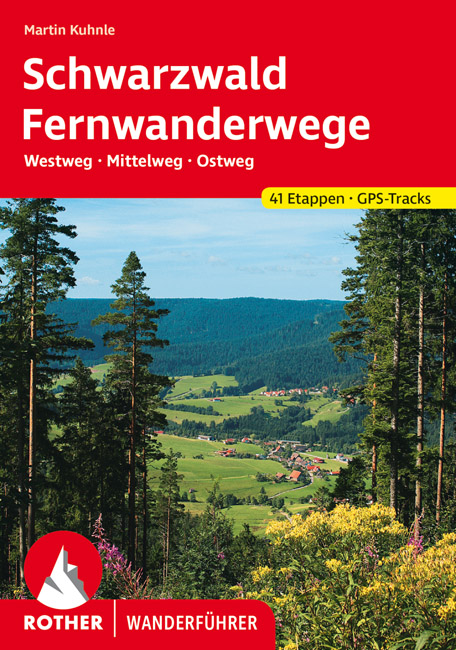
- Wandelgids Fernwanderwege Schwarzwald (Zwarte Woud) Westweg · Mittelweg · Ostweg | Rother Bergverlag
- 41 Höhenprofile, 41 Wanderkärtchen im Maßstab 1:100.000, 2 Übersichtskarten Auf der Straße nach Süden",: Die drei bekanntesten und längsten Fernwanderwege des Schwarzwaldes - Westweg, Mittelweg und Ostweg - beginnen alle in der Schmuck- und Goldstadt Pforzheim am nördlichen Rand des Schwarzwalds und führen nach Süden bis an die Schweizer... Read more
Netherlands
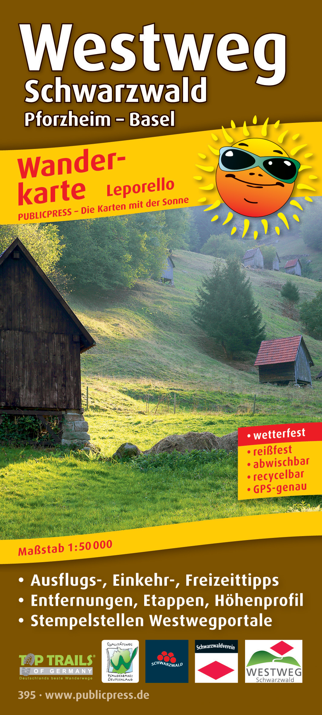
- Wandelkaart 395 Westweg Schwarzwald | Publicpress
- Mit Ausflugszielen, Einkehr- Freizeittipps, GPS-genau. 4. Auflage. Read more

United Kingdom
2016
- The Westway: Through Germany`s Black Forest
- This guidebook is all you need to discover The Westweg, a 285km walk along the length Germany`s Black Forest from Pforzheim to Basel. This classic long-distance trail takes around two weeks to walk, in stages of 15-28km. The route is well way-marked and suitable for experienced hikers and those new to long distance walking, though some sections... Read more
- Also available from:
- The Book Depository, United Kingdom
- Bol.com, Netherlands
- Bol.com, Belgium
- De Zwerver, Netherlands
Netherlands
2016
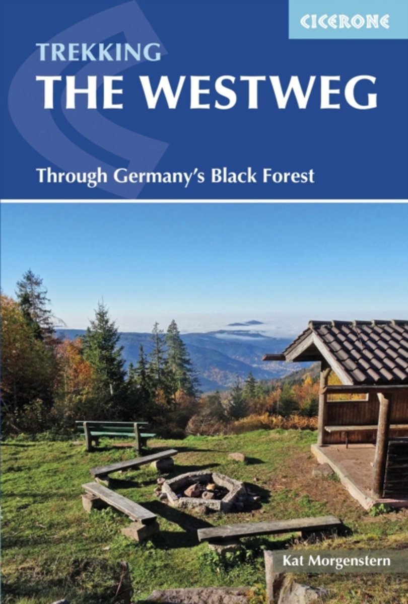
- The Westweg
- This guidebook is all you need to discover The Westweg, a 285km walk along the length Germany's Black Forest from Pforzheim to Basel. This classic long-distance trail takes around two weeks to walk, in stages of 15-28km. The route is well way-marked and suitable for experienced hikers and those new to long distance walking, though some sections... Read more

Belgium
2016
- The Westweg
- This guidebook is all you need to discover The Westweg, a 285km walk along the length Germany's Black Forest from Pforzheim to Basel. This classic long-distance trail takes around two weeks to walk, in stages of 15-28km. The route is well way-marked and suitable for experienced hikers and those new to long distance walking, though some sections... Read more
Netherlands
2016
- Wandelgids The Westweg | Cicerone
- Guidebook to the Westweg (Westway), a 285km walk across Germany's Black Forest from Pforzheim to Basel. This classic route, which includes Feldberg, Black Forest's highest peak, takes 13 to 14 days, each day stage ranging from 15 to 28km. Two variants are described, both well way-marked and suitable for those new to long distance walking. Read more

Netherlands
2006
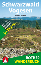
- Schwarzwald - Vogesen
- Die schönsten und spannendsten Wanderberge im Schwarzwald und in den Vogesen präsentiert dieser Führer in einer Auswahl von 50 Wandervorschlägen für jede Kondition. Vom alpinen Steig am Feldberg, der höchsten Erhebung der deutschen Mittelgebirge, spannt sich der Bogen bis zum Grand Ballon, dem höchsten Berg der Vogesen, vom Belchen als dem... Read more
- Also available from:
- Bol.com, Belgium
- De Zwerver, Netherlands

Belgium
2006
- Schwarzwald - Vogesen
- Die schönsten und spannendsten Wanderberge im Schwarzwald und in den Vogesen präsentiert dieser Führer in einer Auswahl von 50 Wandervorschlägen für jede Kondition. Vom alpinen Steig am Feldberg, der höchsten Erhebung der deutschen Mittelgebirge, spannt sich der Bogen bis zum Grand Ballon, dem höchsten Berg der Vogesen, vom Belchen als dem... Read more
Netherlands
2006
- Wandelgids Schwarzwald - Vogesen | Rother Bergverlag
- Uitstekende wandelgids van het Zwarte Woud en een deel van de Vogezen. Nauwkeurig beschreven met praktische info per tocht. De ‘Rother Wanderbücher’ behandelen telkens de 50 mooiste wandelingen, die variëren van eenvoudige kindvriendelijke wandelingen tot routes die aanzienlijk meer ervaring vereisen. Uitvoerige routebeschrijvingen, een... Read more
Maps
Netherlands
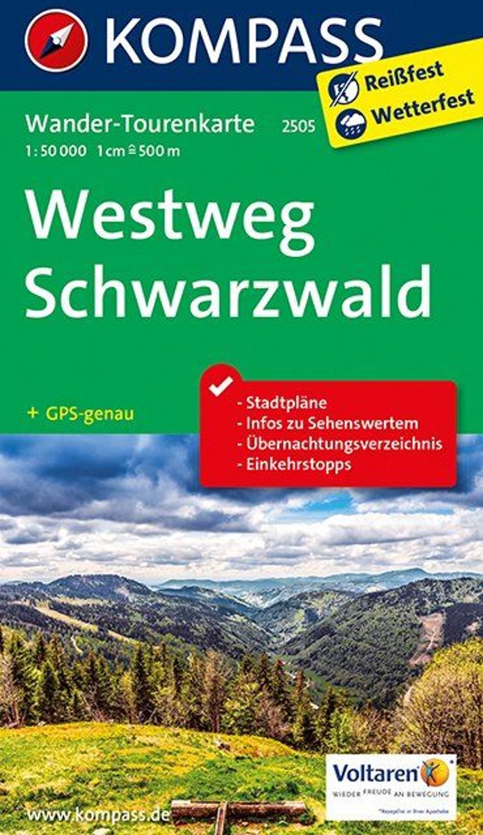
- Kompass WTK2505 Westweg Schwarzwald
- . Der Höhenweg mit einer Länge von rund 285 km ist der längste der drei Schwarzwald-Längsrouten, der''Klassiker'' mit Start in Pforzheim und Ziel in Basel.. Man wandert durch weite Nadelwälder und tiefe Täler, über die Hornisgrinde, vorbei am Titisee, überschreitetden Feldberg (1495 m) - den höchsten Berg im Deutschen Mittelgebirge - den... Read more
- Also available from:
- Bol.com, Belgium

Belgium
- Kompass WTK2505 Westweg Schwarzwald
- . Der Höhenweg mit einer Länge von rund 285 km ist der längste der drei Schwarzwald-Längsrouten, der''Klassiker'' mit Start in Pforzheim und Ziel in Basel.. Man wandert durch weite Nadelwälder und tiefe Täler, über die Hornisgrinde, vorbei am Titisee, überschreitetden Feldberg (1495 m) - den höchsten Berg im Deutschen Mittelgebirge - den... Read more


