Dublin
Description
Trails in this state
Links
Facts
Reports
Guides and maps
Lodging
Organisations
Tour operators
GPS
Other
Books

Stanfords
United Kingdom
United Kingdom
- Dublin Marco Polo Pocket Travel Guide 2019 - with pull out map
- Marco Polo Pocket Guide Dublin: the Travel Guide with Insider TipsExplore Dublin with this handy, pocket-sized, authoritative guide, packed with Insider Tips. Discover boutique hotels, authentic restaurants, the city`s trendiest places, and get tips on shopping and what to do on a limited budget. There are plenty of ideas for travel with kids,... Read more

Stanfords
United Kingdom
United Kingdom
- Coast - The Walks
- Accompanying BBC2`s BAFTA award-winning television series, ”Coast: The Walks” will inspire you to explore the best that the coastline of the British Isles has to offer. With more than 50 fantastic walks around Great Britain and Ireland, this practical guidebook features a variety of town and rural routes that are designed to suit both... Read more

Stanfords
United Kingdom
United Kingdom
- DK Eyewitness Ireland
- Small but spectacular, the Emerald Isle dazzles from coast to coast.Whether you`re seeking the surreal beauty of the Giant`s Causeway, the historic halls of Trinity College or the perfect pub to enjoy a pint of Guinness, your DK Eyewitness travel guide makes sure you experience all that Ireland has to offer.Small but spectacular, the Emerald... Read more

Stanfords
United Kingdom
United Kingdom
- Wicklow South OSI Adventure Map
- Among the rivers on this map are the Ow River, the Aughrim River, the Avoca River, the Derreen River and the Derry River. This map shows the historic site of Avondale House and Forest Park. The Wicklow Way continues down through the map. Among the many trails, loops and walks marked on this map are Avondale Trails, Avoca Red Kite Trails, Sean... Read more

Stanfords
United Kingdom
2021
United Kingdom
2021
- DK Eyewitness Road Trips Ireland
- With its unspoiled coastline, dramatic ruins and picturesque villages, Ireland is the perfect destination for a leisurely road trip. It`s yours to explore with Road Trips Ireland, which contains 24 amazing drives across the country, from the majestic Ring of Kerry to the extraordinary Giant`s Causeway.Packed with insider tips and information,... Read more

Stanfords
United Kingdom
United Kingdom
- Easy Walks Near Dublin
- Joss Lynam’s Easy Walks Near Dublin is a book for family strollers, leisure walkers and people who like healthy exercise without exhausting themselves. Here are more that forty walks, every one of them within easy reach of Dublin.All walks are presented with clear maps and are divided both by duration and by character, e.g. coastal walks, walks... Read more

Stanfords
United Kingdom
United Kingdom
- Dublin Strolls: Exploring Dublin`s Architectural Treasures: 2016
- This handy guide to Dublin`s architecture is filled with easy-to-follow walks through the city, with clear maps, expert architectural insights and fascinating historical detail, not to mention beautiful hand-drawn illustrations. Themes covered include hidden Dublin (including Isolde`s Tower, the remains of a 13th-century defence tower... Read more

Stanfords
United Kingdom
United Kingdom
- DK Eyewitness Travel Guide Ireland
- DK Eyewitness travel guides: award-winning guidebooksDiscover Ireland with this essential travel guide to this great island, designed to help you create your own unique trip and to transport you there before you`ve even packed your case - step back in time at Newgrange and other ancient sites across the country, explore the legendary Giant`s... Read more

Stanfords
United Kingdom
United Kingdom
- Shadowplay - Longlisted for the 2020 Walter Scott Prize for Historical Ficiton
- Longlisted for the 2020 Walter Scott Prize for Historical FictionShortlisted for the Costa Novel Award 2019Winner of the Irish Book Awards Novel of the Year”Breathtaking... A hugely entertaining book about the grand scope of friendship and love” GuardianLondon, 1878. Fresh from life in Dublin, Bram Stoker – now manager of the Lyceum Theatre –... Read more

Stanfords
United Kingdom
2020
United Kingdom
2020
- Insight Guides Explore Ireland (Travel Guide with Free eBook)
- Insight Guides Explore IrelandTravel made easy. Ask local experts. Focused travel guide featuring the very best routes and itineraries, now with free eBook.Discover the best of Ireland with this unique travel guide, packed full of insider information and stunning images. From making sure you don`t miss out on must-see, top attractions like... Read more

Stanfords
United Kingdom
United Kingdom
- The Ulysses Guide: Tours Through Joyce`s Dublin
- More than just a walking guide, `The Ulysses Guide` provides a guide to James Joyce s novel Ulysses by following its eighteen episodes on their original locations, and recreating the Dublin of 1904 against the background of today s streetscape. `The Ulysses Guide` explains the action of the book in terms of its settings and illuminates some of... Read more
- Also available from:
- The Book Depository, United Kingdom

Stanfords
United Kingdom
United Kingdom
- Moon Ireland (Third Edition): Castles, Cliffs, and Lively Local Spots
- From its stirring legends to its stunning landscapes, Ireland is a living, breathing fairy-tale. Ignite your imagination with Moon Ireland. Inside you`ll find:*Flexible itineraries from a two-week ”Best of Ireland” adventure or a weekend in Dublin to 3-day tours of southern, northern, and coastal Ireland that can be combined into a longer... Read more
- Also available from:
- The Book Depository, United Kingdom

The Book Depository
United Kingdom
United Kingdom
- Moon Ireland (Third Edition)
- Castles, Cliffs, and Lively Local Spots Read more
- Also available from:
- De Zwerver, Netherlands

The Book Depository
United Kingdom
2021
United Kingdom
2021
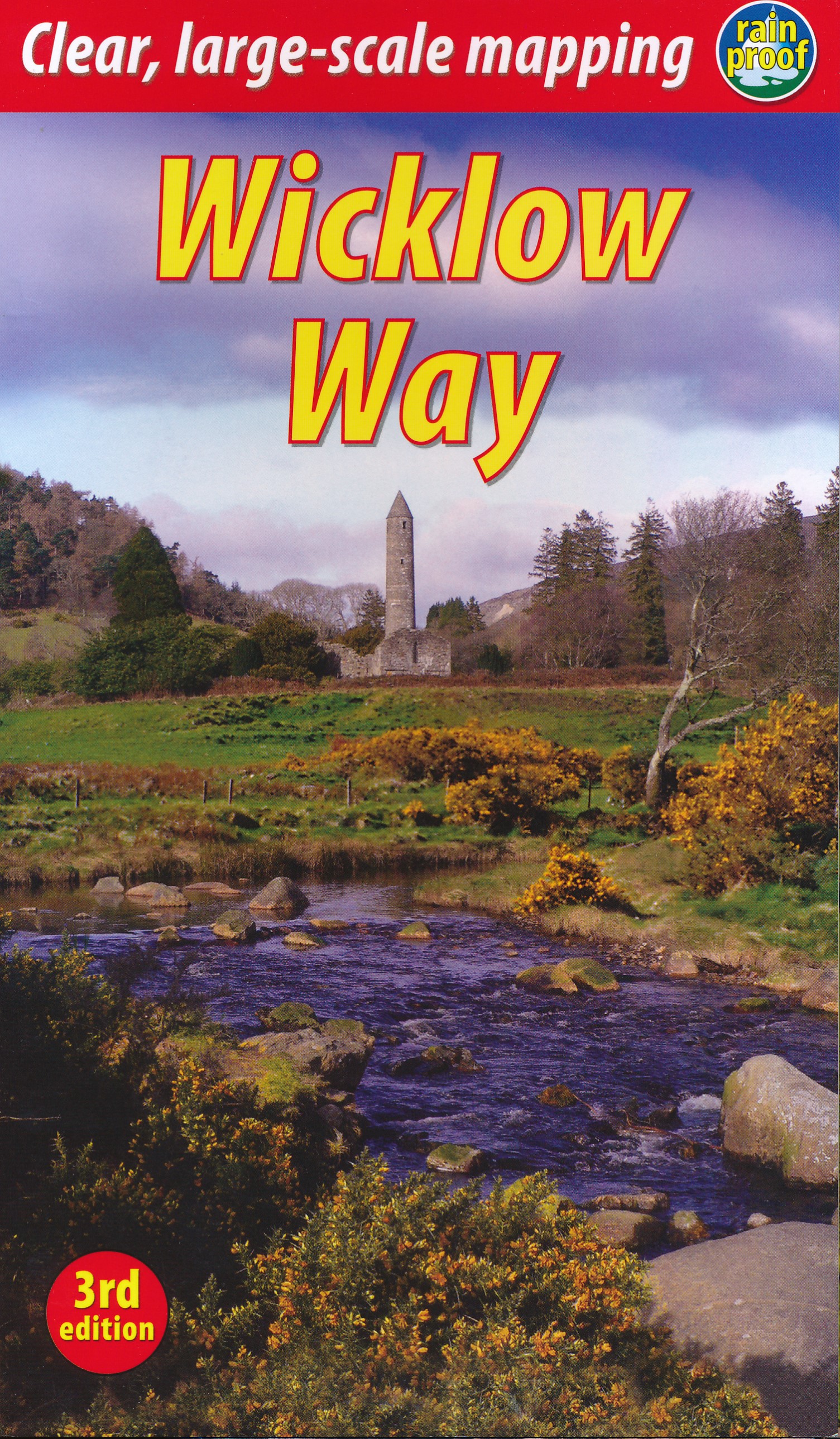
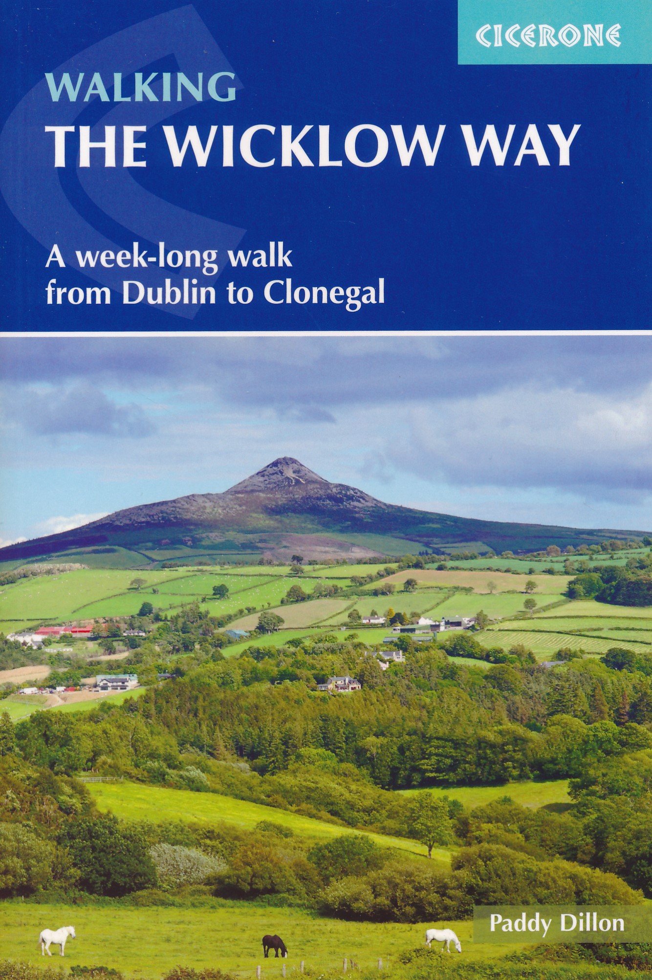
- Walking the Wicklow Way
- A week-long walk from Dublin to Clonegal Read more
- Also available from:
- De Zwerver, Netherlands
De Zwerver
Netherlands
2021
Netherlands
2021
- Wandelgids Walking the Wicklow Way | Cicerone
- A week-long walk from Dublin to Clonegal Read more

Stanfords
United Kingdom
United Kingdom
- Family Walks Around Dublin: A Walking Guide
- Need inspiration for a great family day out? Here are twenty-nine imaginative and varied walks specially designed to appeal to children, all within County Dublin. Explore some of the county`s finest landscapes and historical attractions - including Ardgillan Castle, the Hell Fire Club, Bull Island and Killiney Hill - or enjoy the delights of... Read more
- Also available from:
- The Book Depository, United Kingdom
Maps

Stanfords
United Kingdom
United Kingdom
- Transrhodopi - Long distance hiking and biking trail From Trigrad to Ivaylovgrad
- Western Rhodope Mountains at 1:100,000 on a contoured GPS compatible map from Domino extending from just west of the Pirin National Park to Asenovgrad in the north-east. The map is double-sided with a good overlap between the sides. Topography is shown by contours at 50m intervals with relief shading and spot heights, plus colouring for... Read more

Stanfords
United Kingdom
United Kingdom
- Dublin Mountains (25K)
- Dublin Mountains at 1:25,000 on a double-sided, detailed, GPS compatible map from EastWest Mapping, printed on light, waterproof and tear-resistant paper. Contours at 10m intervals are enhanced by altitude colouring and graphics showing scree, peat bogs, marshland, gorse, different types of woodlands, cultivated areas, etc.The map shows the... Read more

Stanfords
United Kingdom
United Kingdom
- Dublin Borch
- Central districts of Dublin on a laminated and waterproof tourist plan from Borch, with an enlargement for the city centre, a plan of Phoenix Park, and road maps of the capital’s environs and of the whole of the east coast between Dundalk and Waterford. The main plan at 1:12,000 extends from Dublin Bay Passenger and Ferry Terminal to Phoenix... Read more

Stanfords
United Kingdom
United Kingdom
- 2700 North and West Wales Chart Atlas - 2016 edition
- In new A2 atlas format suitable for use on small chart tables and in the cockpit. Printed on high quality cartridge paper, this 2016 edition is wirobound and supplied in a durable plastic wallet. The atlas includes:2700.1 Liverpool Bay to Anglesey 1: 280 000 WGS 84Plan Holyhead (1:27 500)2700.2 Liverpool Bay 1: 145 000 WGS 84Plan Liverpool... Read more

Stanfords
United Kingdom
United Kingdom
- Stara Planina Central: Zlatitsa to Kalofer Domino Map
- Stara Planina Central: Zlatitsa to Kalofer map at 1:50,000 from Bulgarian publishers Domino, contoured and GPS compatible, with hiking trails, accommodation options including a list of local mountain refuges, etc. The map is double-sided and covers the mountains from just west of Ribaritsa and Zlatitsa eastwards beyond Kalofer to the peak of... Read more
- Also available from:
- De Zwerver, Netherlands

De Zwerver
Netherlands
Netherlands
- Wandelkaart 1 Stara Planina gebergte | Domino
- Stara Planina Central: Zlatitsa to Kalofer map at 1:50,000 from Bulgarian publishers Domino, contoured and GPS compatible, with hiking trails, accommodation options including a list of local mountain refuges, etc. The map is double-sided and covers the mountains from just west of Ribaritsa and Zlatitsa eastwards beyond Kalofer to the peak of... Read more

Stanfords
United Kingdom
United Kingdom
- Stara Planina Central: Uzana to Vratnik Domino Map
- Stara Planina Central: Uzana to Vratnik map at 1:50,000 from Bulgarian publishers Domino, contoured and GPS compatible, with hiking trails, accommodation options including a list of local mountain refuges, etc. The map is double-sided and covers the mountains from just west of the Uzana massif, the geographical centre of Bulgaria, eastwards to... Read more
- Also available from:
- De Zwerver, Netherlands

De Zwerver
Netherlands
Netherlands
- Wandelkaart 2 Stara Planina gebergte | Domino
- Stara Planina Central: Uzana to Vratnik map at 1:50,000 from Bulgarian publishers Domino, contoured and GPS compatible, with hiking trails, accommodation options including a list of local mountain refuges, etc. The map is double-sided and covers the mountains from just west of the Uzana massif, the geographical centre of Bulgaria, eastwards to... Read more

Stanfords
United Kingdom
United Kingdom
- Stara Planina Western: Belogradchik to Berkovita Domino Map
- Stara Planina Western: Belogradchik to Berkovita map at 1:50,000 from Bulgarian publishers Domino, contoured and GPS compatible, with hiking trails, accommodation options including a list of local mountain refuges, etc. The map is double-sided and covers the mountains from the peak of Byala Voda near Belogradchik eastwards to just beyond... Read more
- Also available from:
- De Zwerver, Netherlands

De Zwerver
Netherlands
Netherlands
- Wandelkaart 3 Stara Planina gebergte | Domino
- Stara Planina Western: Belogradchik to Berkovita map at 1:50,000 from Bulgarian publishers Domino, contoured and GPS compatible, with hiking trails, accommodation options including a list of local mountain refuges, etc. The map is double-sided and covers the mountains from the peak of Byala Voda near Belogradchik eastwards to just beyond... Read more

Stanfords
United Kingdom
United Kingdom
- Ireland Borch
- Indexed road map of Ireland published by Borch on laminated and tear-resistant paper. Cork & Dublin street plans, and more detailed maps of Killarney NP & the Wicklow Mts are on the reverse. Road detail extends from motorways to secondary roads, with intermediate driving distances indicated on major routes. Main railways and ferry links are... Read more
- Also available from:
- De Zwerver, Netherlands

De Zwerver
Netherlands
Netherlands
- Wegenkaart - landkaart Ireland - Ierland | Borch
- Indexed road map of Ireland published by Borch on laminated and tear-resistant paper. Cork & Dublin street plans, and more detailed maps of Killarney NP & the Wicklow Mts are on the reverse. Road detail extends from motorways to secondary roads, with intermediate driving distances indicated on major routes. Main railways and ferry links are... Read more

Stanfords
United Kingdom
United Kingdom
- Stara Planina Western: Berkovita to Zlatitsa Domino Map
- Stara Planina Western: Berkovita to Zlatitsa map at 1:50,000 from Bulgarian publishers Domino, contoured and GPS compatible, with hiking trails, accommodation options including a list of local mountain refuges, etc. The map is double-sided and covers the mountains from Varshets (directly north of Sofia) to just beyond Etrepole.Maps in the... Read more
- Also available from:
- De Zwerver, Netherlands

De Zwerver
Netherlands
Netherlands
- Wandelkaart 4 Stara Planina gebergte | Domino
- Stara Planina Western: Berkovita to Zlatitsa map at 1:50,000 from Bulgarian publishers Domino, contoured and GPS compatible, with hiking trails, accommodation options including a list of local mountain refuges, etc. The map is double-sided and covers the mountains from Varshets (directly north of Sofia) to just beyond Etrepole.Maps in the... Read more

Stanfords
United Kingdom
United Kingdom
- Dublin - Meath - Kildare - Wicklow OSI Discovery 50
- Map No. 50, Dublin - Kildare North-East in the Discovery series from the OSI, the Ordnance Survey of Ireland, which presents the country on detailed topographic maps at 1:50,000, with additional overprint highlighting campsites and caravan parks, youth hostels, etc. Current 7th edition of this map was published in summer 2015.Maps in the... Read more
- Also available from:
- De Zwerver, Netherlands
De Zwerver
Netherlands
Netherlands
- Topografische kaart - Wandelkaart 50 Discovery Dublin, Kildare, Meath, Wicklow | Ordnance Survey Ireland
- Map No. 50, Dublin - Kildare North-East in the Discovery series from the OSI, the Ordnance Survey of Ireland, which presents the country on detailed topographic maps at 1:50,000, with additional overprint highlighting campsites and caravan parks, youth hostels, etc. Current 7th edition of this map was published in summer 2015.Maps in the... Read more

Stanfords
United Kingdom
United Kingdom
- Strandzha Mountains: Burgas to the Turkish Border Domino Map
- Strandzha Mountains in the south-eastern corner of Bulgaria between Burgas to the Turkish border on a contoured and GPS compatible map from Domino showing local hiking trails and highlighting various interesting sites, with three more detailed enlargements at 1:25,000. Most place names are in both Latin and Cyrillic alphabet; map legend... Read more
- Also available from:
- De Zwerver, Netherlands

De Zwerver
Netherlands
Netherlands
- Wandelkaart Strandzha - Bulgarije | Domino
- Strandzha Mountains in the south-eastern corner of Bulgaria between Burgas to the Turkish border on a contoured and GPS compatible map from Domino showing local hiking trails and highlighting various interesting sites, with three more detailed enlargements at 1:25,000. Most place names are in both Latin and Cyrillic alphabet; map legend... Read more

Stanfords
United Kingdom
United Kingdom
- Rila Mountains Domino
- Rila Mountains at 1:50,000 on a large, double-sided, contoured map with GPS waypoints for shelters and chalets, peaks, etc. and highlighting hiking routes. Topography is shown by contours at 50m intervals with additional relief shading and graphics and colouring for scree, single rocks over 5m high, marshlands and pine scrub and forests. An... Read more
- Also available from:
- De Zwerver, Netherlands

De Zwerver
Netherlands
Netherlands
- Wandelkaart 5 Rila gebergte | Domino
- Rila Mountains at 1:50,000 on a large, double-sided, contoured map with GPS waypoints for shelters and chalets, peaks, etc. and highlighting hiking routes. Topography is shown by contours at 50m intervals with additional relief shading and graphics and colouring for scree, single rocks over 5m high, marshlands and pine scrub and forests. An... Read more
De Zwerver
Netherlands
Netherlands
- Wandelkaart Sredna Gora - Bulgarije | Domino
- Pirin Mountains at 1:50,000 on a large, double-sided, contoured map with GPS waypoints for shelters and chalets, peaks, etc. and highlighting hiking routes. Topography is shown by contours at 40m intervals with additional relief shading and graphics and colouring for sandstone stacks, single rocks over 5m high, marshlands and different types of... Read more


