Laois
Description

County Laois is located in the Midlands Region, and is overall flat and rural in character, apart from the Slieve Bloom mountains bordering county Offaly.
Trails in this state
Links
Facts
Reports
Guides and maps
Lodging
Organisations
Tour operators
GPS
Other
Maps

Stanfords
United Kingdom
United Kingdom
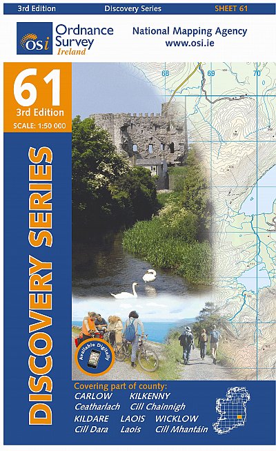
- Carlow - Kildare - Kilkenny - Laois - Wicklow OSI Discovery 61
- Map No. 61, Carlow North - Laois South-East - Kilkenny North-East in the Discovery series from the OSI, the Ordnance Survey of Ireland, which presents the country on detailed topographic maps at 1:50,000, with additional overprint highlighting campsites and caravan parks, youth hostels, etc. Current 3rd edition of this map was published in... Read more

Stanfords
United Kingdom
United Kingdom
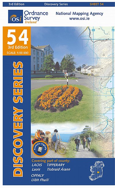
- Laois - Offaly - Tipperary OSI Discovery 54
- Map No. 54, Laois North West in the Discovery series from the OSI, the Ordnance Survey of Ireland, which presents the country on detailed topographic maps at 1:50,000, with additional overprint highlighting campsites and caravan parks, youth hostels, etc. Current 3rd edition of this map was published in October 2011.Maps in the Discovery series... Read more
- Also available from:
- The Book Depository, United Kingdom

The Book Depository
United Kingdom
United Kingdom
- Laois, Offlay, Tipperary
- Map No. 54, Laois North West in the Discovery series from the OSI, the Ordnance Survey of Ireland, which presents the country on detailed topographic maps at 1:50,000, with additional overprint highlighting campsites and caravan parks, youth hostels, etc. Current 3rd edition of this map was published in October 2011.Maps in the Discovery series... Read more

The Book Depository
United Kingdom
United Kingdom
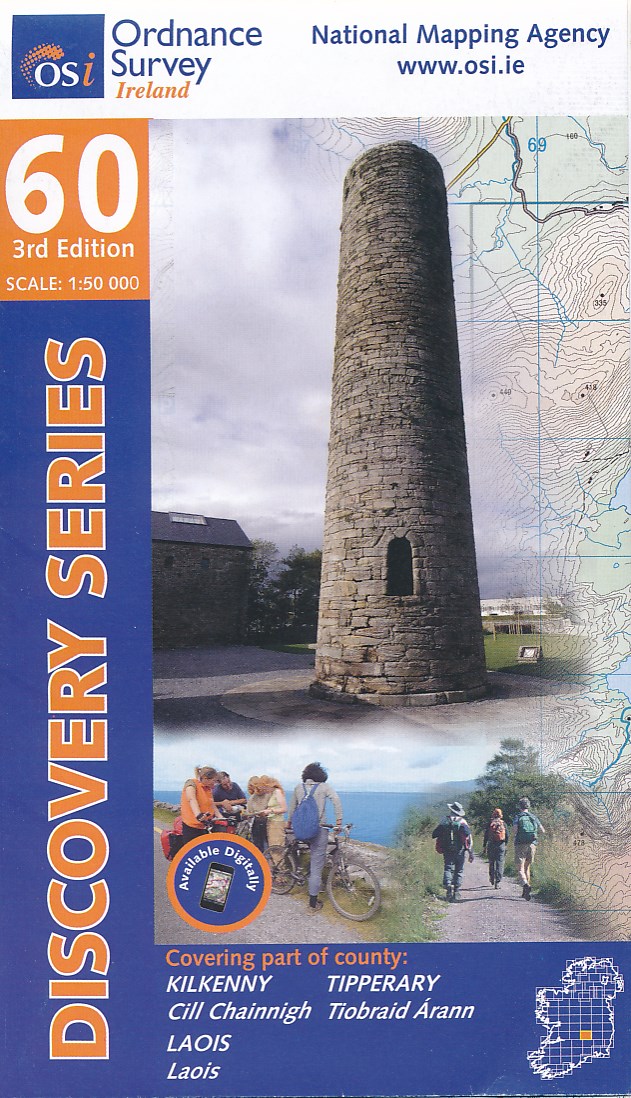
- Kilkenny, Laois, Tipperary
- Map No. 60, Kilkenny North - Laois South in the Discovery series from the OSI, the Ordnance Survey of Ireland, which presents the country on detailed topographic maps at 1:50,000, with additional overprint highlighting campsites and caravan parks, youth hostels, etc. Current 3rd edition of this map was published in October 2011.Maps in the... Read more
- Also available from:
- De Zwerver, Netherlands
De Zwerver
Netherlands
Netherlands
- Topografische kaart - Wandelkaart 60 Discovery Kilkenny, Laois, Tipperary | Ordnance Survey Ireland
- Map No. 60, Kilkenny North - Laois South in the Discovery series from the OSI, the Ordnance Survey of Ireland, which presents the country on detailed topographic maps at 1:50,000, with additional overprint highlighting campsites and caravan parks, youth hostels, etc. Current 3rd edition of this map was published in October 2011.Maps in the... Read more
De Zwerver
Netherlands
Netherlands
- Topografische kaart - Wandelkaart 61 Discovery Carlow, Kildare, Kilkenny, Laois, Wicklow | Ordnance Survey Ireland
- Map No. 61, Carlow North - Laois South-East - Kilkenny North-East in the Discovery series from the OSI, the Ordnance Survey of Ireland, which presents the country on detailed topographic maps at 1:50,000, with additional overprint highlighting campsites and caravan parks, youth hostels, etc. Current 3rd edition of this map was published in... Read more
More maps…