Longford
Description

Low-lying land-locked county in the midlands of Ireland.
Trails in this state
Links
Facts
Reports
Guides and maps
Lodging
Organisations
Tour operators
GPS
Other
Books

Stanfords
United Kingdom
United Kingdom
- Lough Ree - Shannon Lakes OSI Adventure Map
- This map is located in County Roscommon and County Longford and also a portion of County Westmeath. The N6, N61 and N55 are shown on the map. The N63and R392 go through Lanesborough. Among the walks that feature are Commons North Woodland Walk, Rinn Duin-Castle Loop Walk and Rinn-Duin Warren Point Loop Walk.Boat hire is a major activity on the... Read more
Bol.com
Netherlands
Netherlands
- Ireland - Its Scenery, Character And History - Vol VI
- IRELAND, ITS HISTORY, SCENERY AND CHARACTER - CONTENTS - PAGE LONGFORD . . . . . . . . . . . 1 LEITRIM . . . . . . . . . . . . 2 0 SLIGO . . . . . . . . . . . . 4 1 ROSCOMM . ON . . . . . . . . . . 6 5 MAYO . . . . . . . . . . . . 11 0 CLARE . . . . . . . . . . . . l7 8 GALWAY . . . . . . . . . . . . 2 19 LIST OF ILLUSTRATIONS Achill See page... Read more
- Also available from:
- Bol.com, Belgium
Bol.com
Belgium
Belgium
- Ireland - Its Scenery, Character And History - Vol VI
- IRELAND, ITS HISTORY, SCENERY AND CHARACTER - CONTENTS - PAGE LONGFORD . . . . . . . . . . . 1 LEITRIM . . . . . . . . . . . . 2 0 SLIGO . . . . . . . . . . . . 4 1 ROSCOMM . ON . . . . . . . . . . 6 5 MAYO . . . . . . . . . . . . 11 0 CLARE . . . . . . . . . . . . l7 8 GALWAY . . . . . . . . . . . . 2 19 LIST OF ILLUSTRATIONS Achill See page... Read more
Maps

Stanfords
United Kingdom
United Kingdom
- Derby and Burton upon Trent 1921
- Map No. 128, Derby and Burton upon Trent 1921, in the Cassini Historical Series of old Ordnance Survey mapping of England and Wales at 1:50,000 in a format designed to offer a convenient comparison with the present day coverage from the OS, and most locations in three different editions. Old historical maps have been combined so that the sheet... Read more
Stanfords
United Kingdom
United Kingdom
- Derby and Burton upon Trent 1902
- Map No. 128, Derby and Burton upon Trent 1902, in the Cassini Historical Series of old Ordnance Survey mapping of England and Wales at 1:50,000 in a format designed to offer a convenient comparison with the present day coverage from the OS, and most locations in three different editions. Old historical maps have been combined so that the sheet... Read more
Stanfords
United Kingdom
United Kingdom
- Derby and Burton upon Trent 1834-1921 (3-map set)
- Map No. 128, Derby and Burton upon Trent 1834-1921 (3-map set), in the Cassini Historical Series of old Ordnance Survey mapping of England and Wales at 1:50,000 in a format designed to offer a convenient comparison with the present day coverage from the OS, and most locations in three different editions. Old historical maps have been combined... Read more
Stanfords
United Kingdom
United Kingdom
- Derby and Burton upon Trent 1834-1839
- Map No. 128, Derby and Burton upon Trent 1834-1839, in the Cassini Historical Series of old Ordnance Survey mapping of England and Wales at 1:50,000 in a format designed to offer a convenient comparison with the present day coverage from the OS, and most locations in three different editions. Old historical maps have been combined so that the... Read more

Stanfords
United Kingdom
United Kingdom
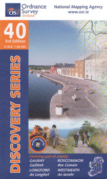
- Galway - Longford - Roscommon - Westmeath OSI Discovery 40
- Map No. 40, Roscommon Central - Longford West in the Discovery series from the OSI, the Ordnance Survey of Ireland, which presents the country on detailed topographic maps at 1:50,000, with additional overprint highlighting campsites and caravan parks, youth hostels, etc. Current 3rd edition of this title was published in March 2011.Maps in the... Read more
Stanfords
United Kingdom
United Kingdom
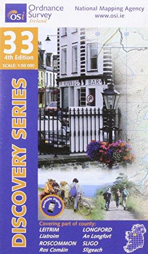
- Leitrim - Longford - Roscommon - Sligo OSI Discovery 33
- Map No. 33, Roscommon North - Leitrim South-West in the Discovery series from the OSI, the Ordnance Survey of Ireland, which presents the country on detailed topographic maps at 1:50,000, with additional overprint highlighting campsites and caravan parks, youth hostels, etc. Current 4th edition of this title was published in January 2013.Maps... Read more

Stanfords
United Kingdom
United Kingdom
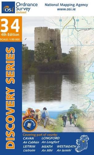
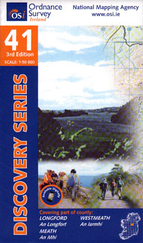
- Longford - Meath - Westmeath OSI Discovery 41
- Map No. 41, Longford South-West - Westmeath North in the Discovery series from the OSI, the Ordnance Survey of Ireland, which presents the country on detailed topographic maps at 1:50,000, with additional overprint highlighting campsites and caravan parks, youth hostels, etc. Current 3rd edition of this title was published in February 2011.Maps... Read more
More maps…