
Meath
Description

Low-lying county in the mid-east with a rural character, far from the main tourist attractions.
Trails in this state
Links
Facts
Reports
Guides and maps
Lodging
Organisations
Tour operators
GPS
Other
Books

The Book Depository
United Kingdom
United Kingdom
- Moon Ireland (Third Edition)
- Castles, Cliffs, and Lively Local Spots Read more
Bol.com
Netherlands
Netherlands
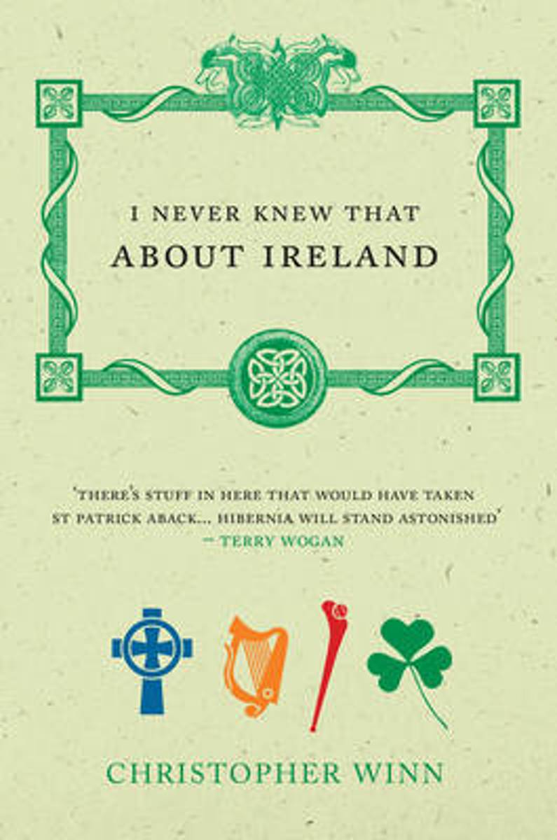
- I Never Knew That About Ireland
- Bestselling author Christopher Winn takes us on a fascinating journey around Ireland, to discover the tales buried deep in Irish history. Packed full of myths and legends, firsts, birthplaces, inventions and adventures, this fact book visits each of the four provinces - Ulster, Leinster, Munster and Connaught - and unearths the hidden gems that... Read more
- Also available from:
- Bol.com, Belgium
Bol.com
Belgium
Belgium
- I Never Knew That About Ireland
- Bestselling author Christopher Winn takes us on a fascinating journey around Ireland, to discover the tales buried deep in Irish history. Packed full of myths and legends, firsts, birthplaces, inventions and adventures, this fact book visits each of the four provinces - Ulster, Leinster, Munster and Connaught - and unearths the hidden gems that... Read more
Maps

Stanfords
United Kingdom
United Kingdom
- Kildare - Meath - Offaly - Westmeath OSI Discovery 49
- Map No. 49, Kildare North - Meath south-East - Offaly East in the Discovery series from the OSI, the Ordnance Survey of Ireland, which presents the country on detailed topographic maps at 1:50,000, with additional overprint highlighting campsites and caravan parks, youth hostels, etc. Current 4th edition of this map was published in January... Read more

Stanfords
United Kingdom
United Kingdom
- Longford - Meath - Westmeath OSI Discovery 41
- Map No. 41, Longford South-West - Westmeath North in the Discovery series from the OSI, the Ordnance Survey of Ireland, which presents the country on detailed topographic maps at 1:50,000, with additional overprint highlighting campsites and caravan parks, youth hostels, etc. Current 3rd edition of this title was published in February 2011.Maps... Read more

Stanfords
United Kingdom
United Kingdom
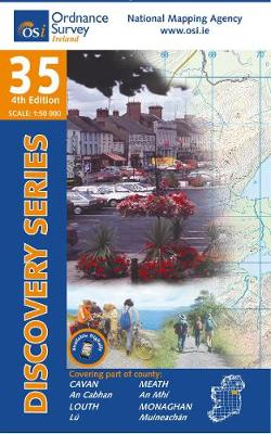
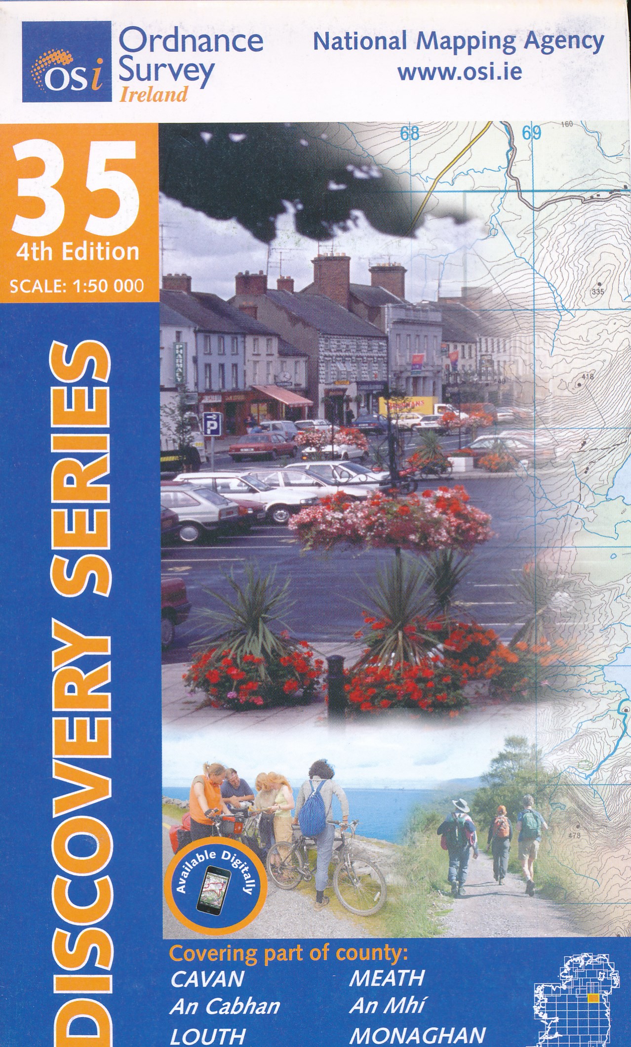
- Cavan - Louth - Meath - Monaghan OSI Discovery 35
- Map No. 35, Cavan East - Meath North in the Discovery series from the OSI, the Ordnance Survey of Ireland, which presents the country on detailed topographic maps at 1:50,000, with additional overprint highlighting campsites and caravan parks, youth hostels, etc. Current 3rd edition of this map was published in December 2011.Maps in the... Read more
- Also available from:
- The Book Depository, United Kingdom
- De Zwerver, Netherlands
De Zwerver
Netherlands
Netherlands
- Topografische kaart - Wandelkaart 35 Discovery Cavan, Louth, Meath, Monaghan | Ordnance Survey Ireland
- Map No. 35, Cavan East - Meath North in the Discovery series from the OSI, the Ordnance Survey of Ireland, which presents the country on detailed topographic maps at 1:50,000, with additional overprint highlighting campsites and caravan parks, youth hostels, etc. Current 3rd edition of this map was published in December 2011.Maps in the... Read more

Stanfords
United Kingdom
United Kingdom
- Dublin - Meath - Kildare - Wicklow OSI Discovery 50
- Map No. 50, Dublin - Kildare North-East in the Discovery series from the OSI, the Ordnance Survey of Ireland, which presents the country on detailed topographic maps at 1:50,000, with additional overprint highlighting campsites and caravan parks, youth hostels, etc. Current 7th edition of this map was published in summer 2015.Maps in the... Read more
- Also available from:
- De Zwerver, Netherlands
De Zwerver
Netherlands
Netherlands
- Topografische kaart - Wandelkaart 50 Discovery Dublin, Kildare, Meath, Wicklow | Ordnance Survey Ireland
- Map No. 50, Dublin - Kildare North-East in the Discovery series from the OSI, the Ordnance Survey of Ireland, which presents the country on detailed topographic maps at 1:50,000, with additional overprint highlighting campsites and caravan parks, youth hostels, etc. Current 7th edition of this map was published in summer 2015.Maps in the... Read more

Stanfords
United Kingdom
United Kingdom
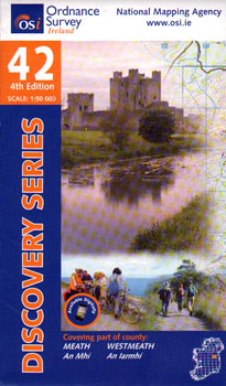
- Meath - Westmeath OSI Discovery 42
- Map No. 42, Meath West - Westmeath East in the Discovery series from the OSI, the Ordnance Survey of Ireland, which presents the country on detailed topographic maps at 1:50,000, with additional overprint highlighting campsites and caravan parks, youth hostels, etc. Current 4th edition of this title was published in February 2011.Maps in the... Read more
- Also available from:
- De Zwerver, Netherlands
De Zwerver
Netherlands
Netherlands
- Topografische kaart - Wandelkaart 42 Discovery Meath, Westmeath | Ordnance Survey Ireland
- Zeer gedetailleerde topografische kaart met een aantal toegevoegde toeristische symbolen voor bijv. Bezienswaardigheden en campings. Met hoogtelijnen, mooi kleurgebruik en ingetekende lange-afstands-wandelroutes. Read more

Stanfords
United Kingdom
United Kingdom
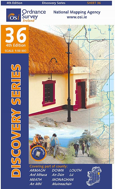
- Armagh - Down - Louth - Meath - Monaghan OSI Discovery 36
- Map No. 36, Louth in the Discovery series from the OSI, the Ordnance Survey of Ireland, which presents the country on detailed topographic maps at 1:50,000, with additional overprint highlighting campsites and caravan parks, youth hostels, etc. Current 4th edition of this title was published in February 2013.Maps in the Discovery series have... Read more
- Also available from:
- De Zwerver, Netherlands
De Zwerver
Netherlands
Netherlands
- Topografische kaart - Wandelkaart 36 Discovery Armagh, Down, Louth, Meath, Monaghan | Ordnance Survey Ireland
- Map No. 36, Louth in the Discovery series from the OSI, the Ordnance Survey of Ireland, which presents the country on detailed topographic maps at 1:50,000, with additional overprint highlighting campsites and caravan parks, youth hostels, etc. Current 4th edition of this title was published in February 2013.Maps in the Discovery series have... Read more