Oosterscheldepad
Description
- Name Oosterscheldepad (SP15)
- Length of trail 196 km, 122 miles
- Length in days 10 days
- Start of trail Goes
- End of trail Goes
- Traildino grading LW, Light walk, countryside walk
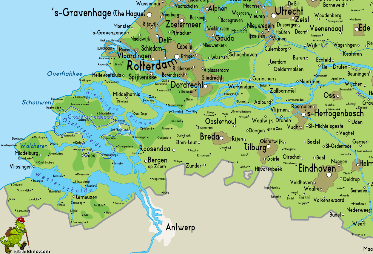
 SP15, Oosterscheldepad: circular trail starting from Goes around National Park Oosterschelde, 196 km
The Oosterschelde estuary is a large and wide sea inlet in the province of Zeeland. Since 2002, the area is designated as a National Park. The clear, salt water is an important habitat for many marine animals. Therefore, the Oosterschelde is popular with divers. For us as walkers, the life underwater is - except for the seals - invisible. The shores and the adjacent polders and marshes house many birds. Especially during autumn and spring, many migratory birds have a stop here. The landscape is attractive: a large expanse of water, in combination with a meandering coastline and ancient villages and towns, such as Veere.
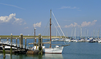
On windy days, the lake is dotted with many small and large sailing boats. "Lake" is not the right word: the sea inlet is cut from the sea by a tidal dam, but usually it is open and the water poors in and out two times a day. Only with spring tide and storm, the weir is closed.
The Oosterscheldepad is a "Streekpad" - regional trail - maintained by Stichting Wandelnet.


