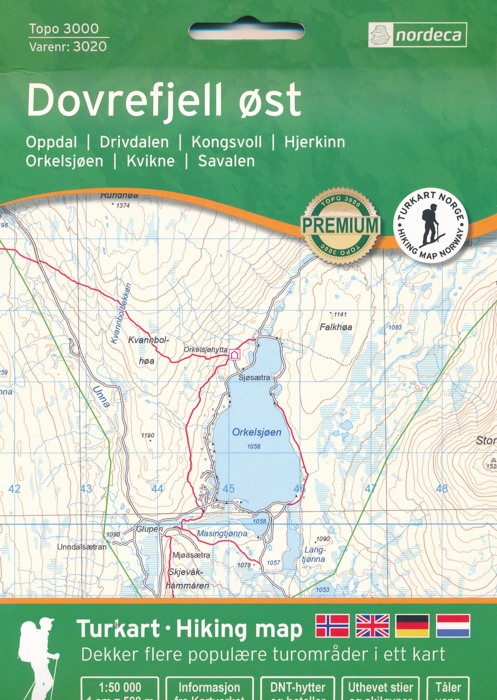
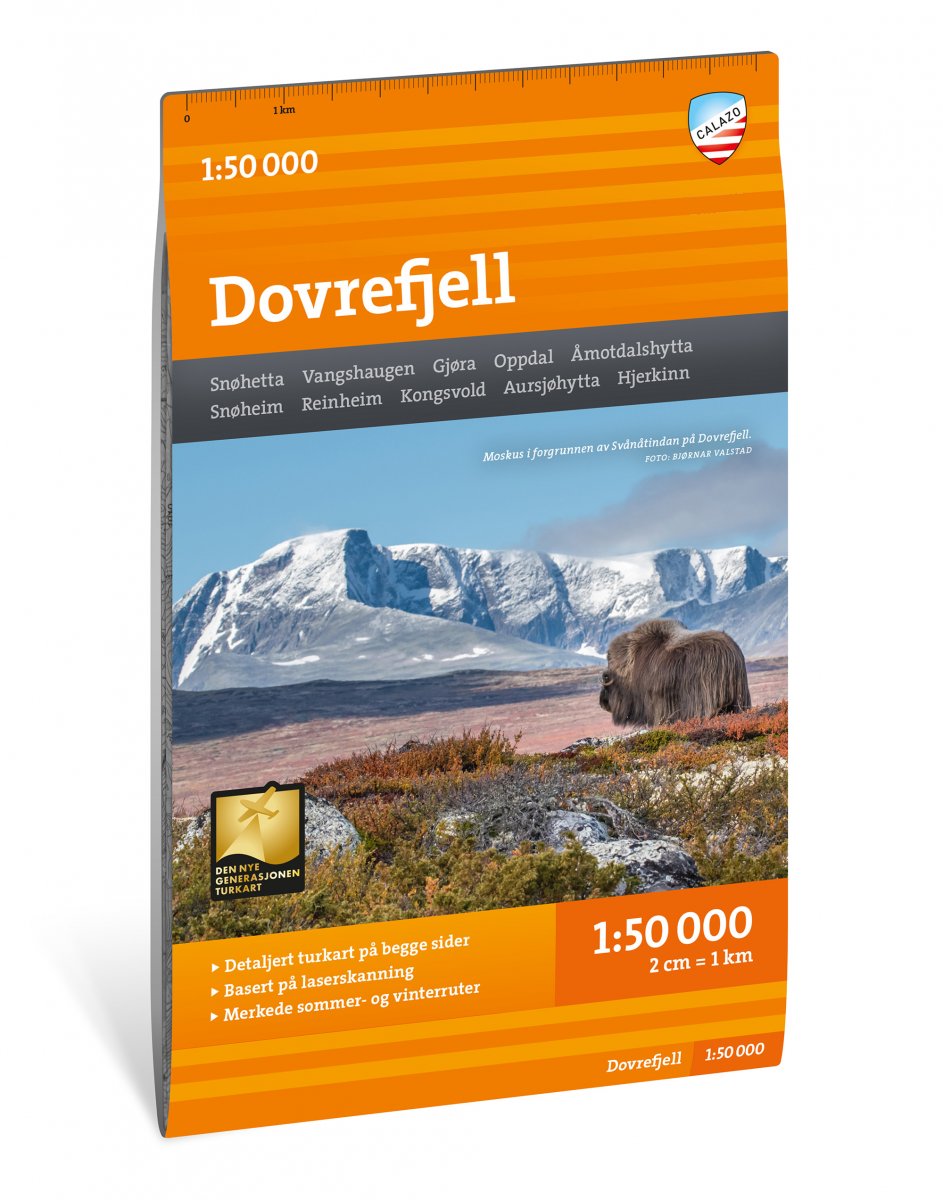
Dovrefjell
Description
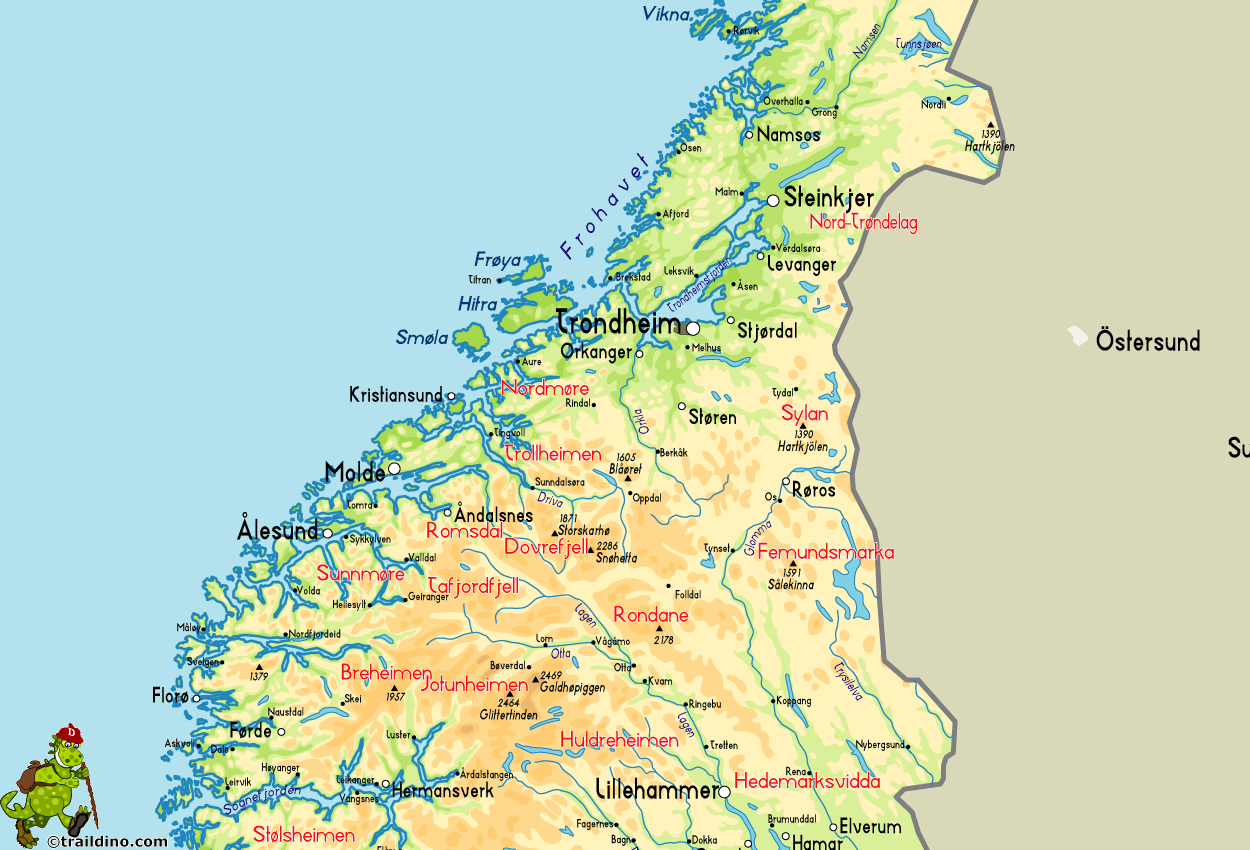
The Dovre area, northwest of Rondane, has the highest peaks outside Jotunheimen: Snøhetta (2286, third highest mountain in Norway), Store Svånåtind (2215) and Larstind (2106). Still, Dovrefjell displays more features of eastern Norway: wide open plains with round peaks. Towards the northwest, the mountains get wilder and the mountainfaces steeper, culminating in the alpine area of Eikesdal and Romsdal.
A large part of Dovrefjell has been declared national park. In this large region, reindeer roam free. The musk ox can be seen, but its better to stay at a safe distance. Some marshes are important breeding areas for birds. Other areas have an attractive flora.
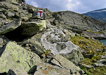
Dovrefjell is a beautiful area for hiking. DNT has build more than ten huts, with a myriad of cairned trails in between them. As said, Rondane is not far away, and via the village of Hjerkin you can combine these areas. A good walk starts in the village of Kongsvoll, from where you can reach the self-service hut Reinheim in just a few hours. Next day, you can climb Snøhetta from where you might see as far as Jotunheimen. Continue west, as to enter Eikesdalen and Romsdalen. This ten day walk will be a very varied and impressive hike in one of the most mountainous parts of Norway.
Map
Links
Facts
Reports
Guides and maps
Lodging
Organisations
Tour operators
GPS
Other
Books
Maps

United Kingdom
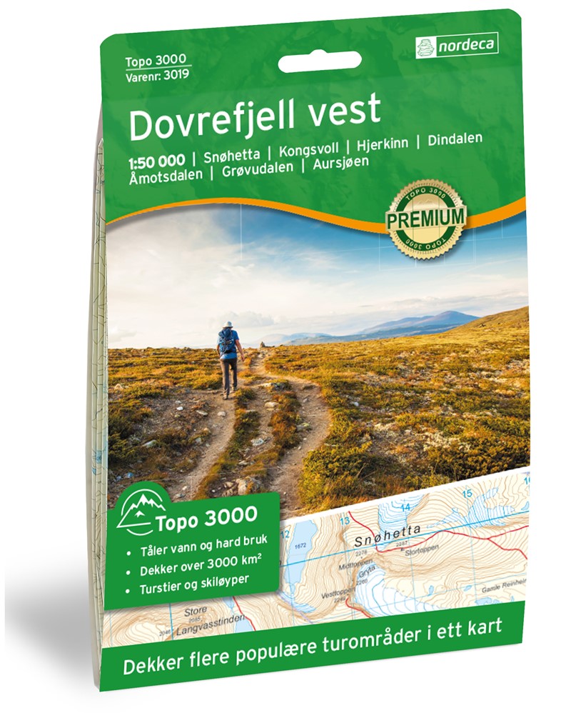
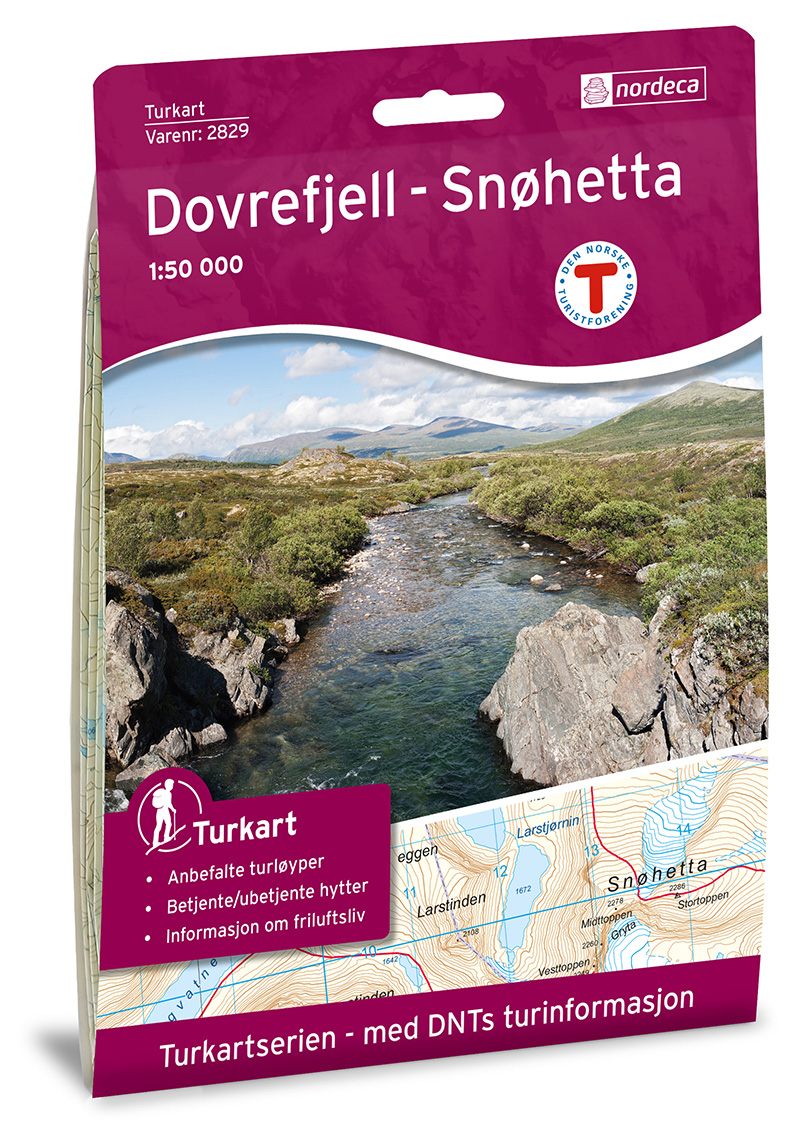
- Dovrefjell - Snøhetta Nordeca 2829
- The Snøhetta area of the Dovrefjell mountain range in northern Norway on a contoured and GPS-compatible, waterproof and tear-resistant Turkart map at 1:50,000 from Nordeca with cartography of the country’s topographic survey overprinted with hiking and ski trails, etc.Contours are at 20m intervals with spot heights and colouring for glaciers... Read more

United Kingdom
- Southern Norway North - Oslo - Bergen - Rondvassbu - Galdhopiggen Cappelen Sectional Road Map
- Southern Norway North: Oslo - Bergen - Sognefjord - Ålesund region at 1:335,000 from Cappelen, covering several national parks including Jotunheimen and Rondane (both also shown on contoured enlargements), plus city maps of central Oslo and the Bergen area.Coverage extends from Oslo and the Hardangervidda NP northwards to Ålesund and Røros and... Read more

United Kingdom
- More and Troodelag - Alesund - Trondheim - Namsos Cappelen Sectional Road Map
- Møre and Trøndelag: Ålesund - Trondheim - Namsos area at 1:335,000 from Cappelen, with a large, very clear street plan of central Trondheim plus a contoured enlargement at 1:100,000 of the Trondheim - Dovre area south-west of the city.Coverage extends from Ålesund and the northern part of the Dovrefjell - Sunndalsfjella National Park northwards... Read more
Netherlands
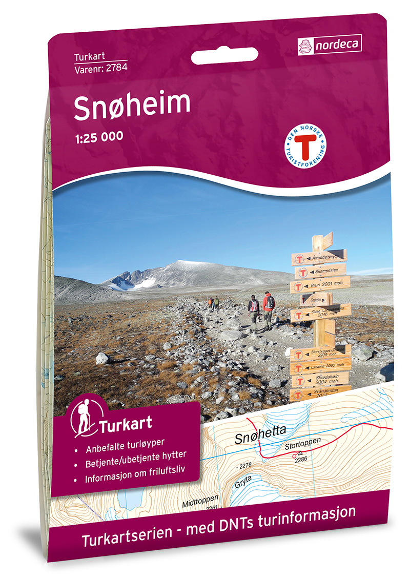
- Wandelkaart 2784 Turkart Snøheim | Nordeca
- Gebied: Dovrefjell Uitstekende wandelkaart van een deel van Noorwegen. De Noren zelf gebruiken deze kaarten ook voor hun wandeltochten in de berggebieden. Afhankelijk van de moeilijkheidsgraad van het gebied voldoet een 1:25.000, 1:50.000 of 1:100.000 kaart. Alle noodzakelijke informatie vind je er op terug: bemande en onbemande hutten,... Read more
Netherlands
- Wandelkaart 2829 Turkart Dovrefjell - Snøhetta | Nordeca
- Gebied: Dovrefjell Uitstekende wandelkaart van een deel van Noorwegen. De Noren zelf gebruiken deze kaarten ook voor hun wandeltochten in de berggebieden. Afhankelijk van de moeilijkheidsgraad van het gebied voldoet een 1:25.000, 1:50.000 of 1:100.000 kaart. Alle noodzakelijke informatie vind je er op terug: bemande en onbemande hutten,... Read more


