Femundsmarka
Description
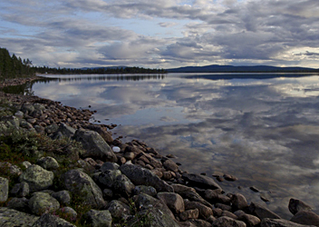
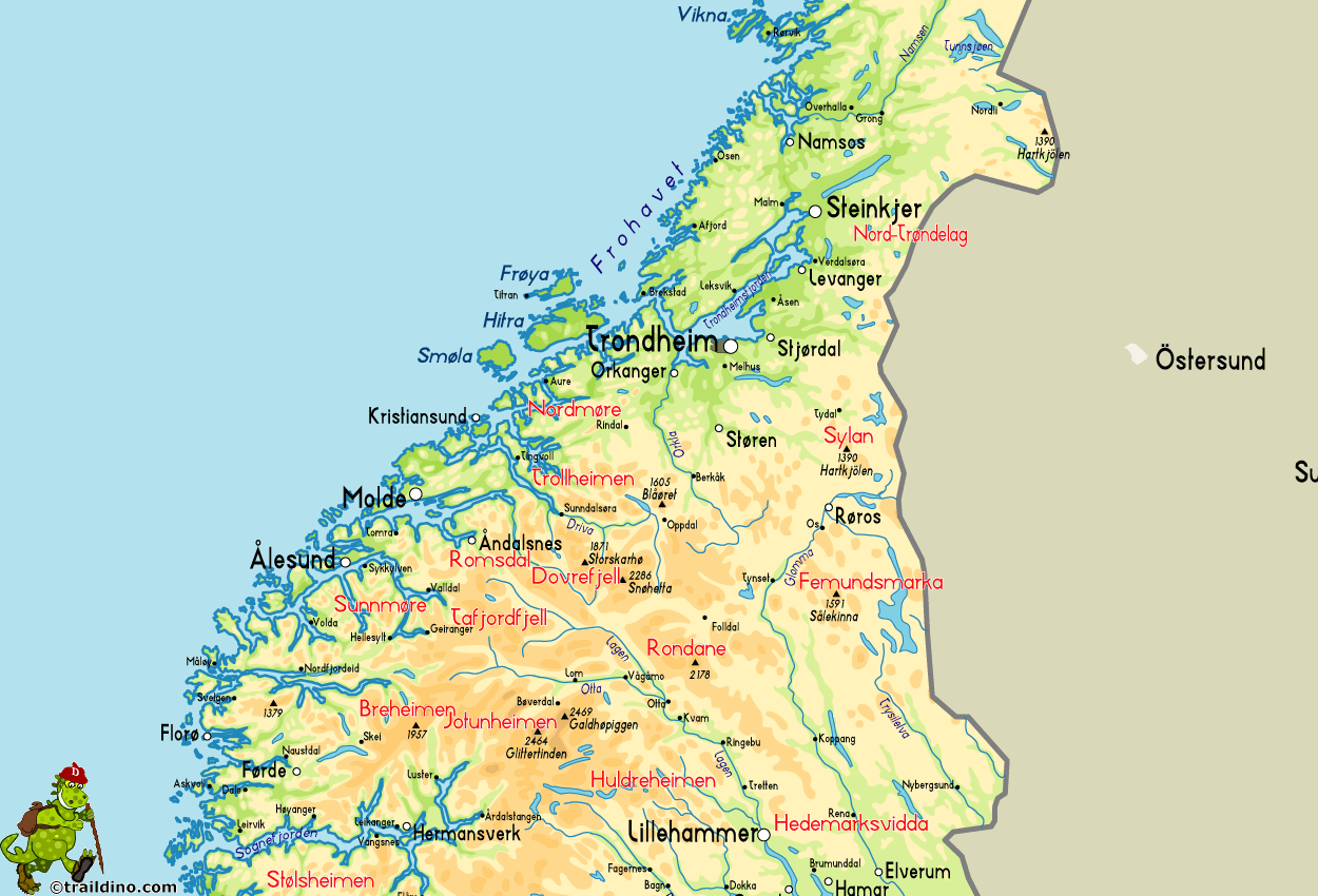
Femundsmarka is a high plateau in the east of Norway, east of Rondane, bordering on Sweden. The landscape is typical for east Norway: a high level plateau, gently rolling, with few, smoothly shaped mountains sticking out. The ice age left a barren land, with a mess of rocks, with goldish green lichens growing on them.
Hiking here means covering long distances, and views of far away summits. Foreigners rarely venture into this region, which is a pity. The area is very attractive, such that a national park has been created in 1971 to protect the nature with its characteristic open pine moors clad with reindeer moss. Moreover, Femundsmarka is within easily reach of Oslo, travelling by train through Østerdal.
The most striking feature of the area is lake Femund, the third largest lake of Norway. The lake stretches north-south over a distance of about 60 km. In summertime, a boat service runs daily. Hikers use this service to connect to other trails. The national park, very important from a botanical perspective, is situated on the eastern side of the lake. Here, one has a wide choice of trails, although DNT only has two huts, complemented by three private huts. Crossing the border with Sweden, one enters the Rogens nature reserve, a very large area where the Svenska Turistföreningen (STF) runs another four huts.
To the west of lake Femund, a large, empty area extends up to Østerdalen. Some seven huts in this area are situated in a network of trails, offering plenty of excellent hiking opportunities.


