
Folgefonna
Description

Folgefonna is an extensive glacier west of Hardangervidda. The glacier plateau rises to about 1.700 m. The sides of the glacier are steep and impressive, especially on the east side where the ice plunges into the Sørfjord. There are also several glacier valleys. A good place for starting a tour is Odda on the east side of the plateau or Rosendal on the west side.
Map

Links
Facts
Reports
Guides and maps
Lodging
Organisations
Tour operators
GPS
Other
Maps

Stanfords
United Kingdom
United Kingdom
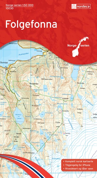
- Folgefonna Nordeca 10030
- Map No. 10030, Folgefonna, in the new topographic survey of Norway at 1:50,000 covering the country on 195 double-sided sheets and first published by Nordeca in 2011 - 2012; fully GPS compatible, indicating waymarked footpaths, campsites, tourist huts, illuminated ski runs, etc.The maps, now published by Nordeca, the successors to Statens... Read more

Stanfords
United Kingdom
United Kingdom
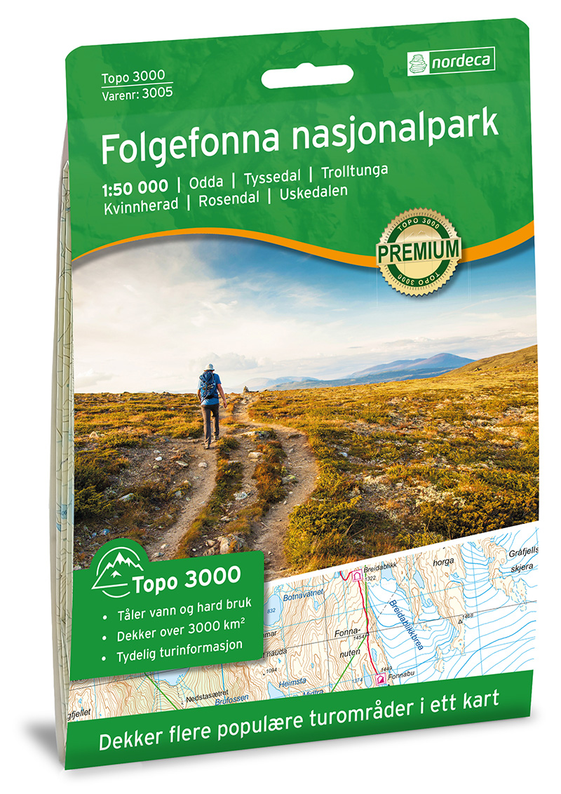
- Folgefonna National Park Nordeca 2663
- Folgefonna National Park in Norway in a series of GPS compatible recreational maps at 1:50,000 with cartography from Norway’s topographic survey and additional tourist information. Contours lines are drawn at 20m intervals. The overprint varies from title to title, but includes local footpaths, in some cases distinguishing between easy and more... Read more
De Zwerver
Netherlands
Netherlands
- Wandelkaart - Topografische kaart 10030 Norge Serien Folgefonna | Nordeca
- Een compleet nieuwe serie topografische kaarten voor Noorwegen 1:50 000. Het heeft een moderne cartografie, ontwikkeld voor het actieve buitenleven. Deze kaarten zijn ideaal voor wandel-en recreatief gebruik in de bergen, bossen, langs de kust en voor de jacht en de visserij. Voor professionele organisaties bieden de kaarten de nodige kennis... Read more
De Zwerver
Netherlands
Netherlands
- Wandelkaart 3005 Topo 3000 Folgefonna | Nordeca
- Een nieuwe serie van Nordeca. Een grote kaart op scheurvast papier. Het heldere kaartbeeld wat we van de andere series ook kennen is hier gebruikt wat de kaart goed leesbaar maakt. Topo 3000 is a detailed map covering an area of 64 x 47 km (over 3000 km2). Here you will find the hiking routes easily, over the mountains, through the forest and... Read more
De Zwerver
Netherlands
2022
Netherlands
2022