
Jotunheimen
Description
 and Bessvatnet (1373m, R)")
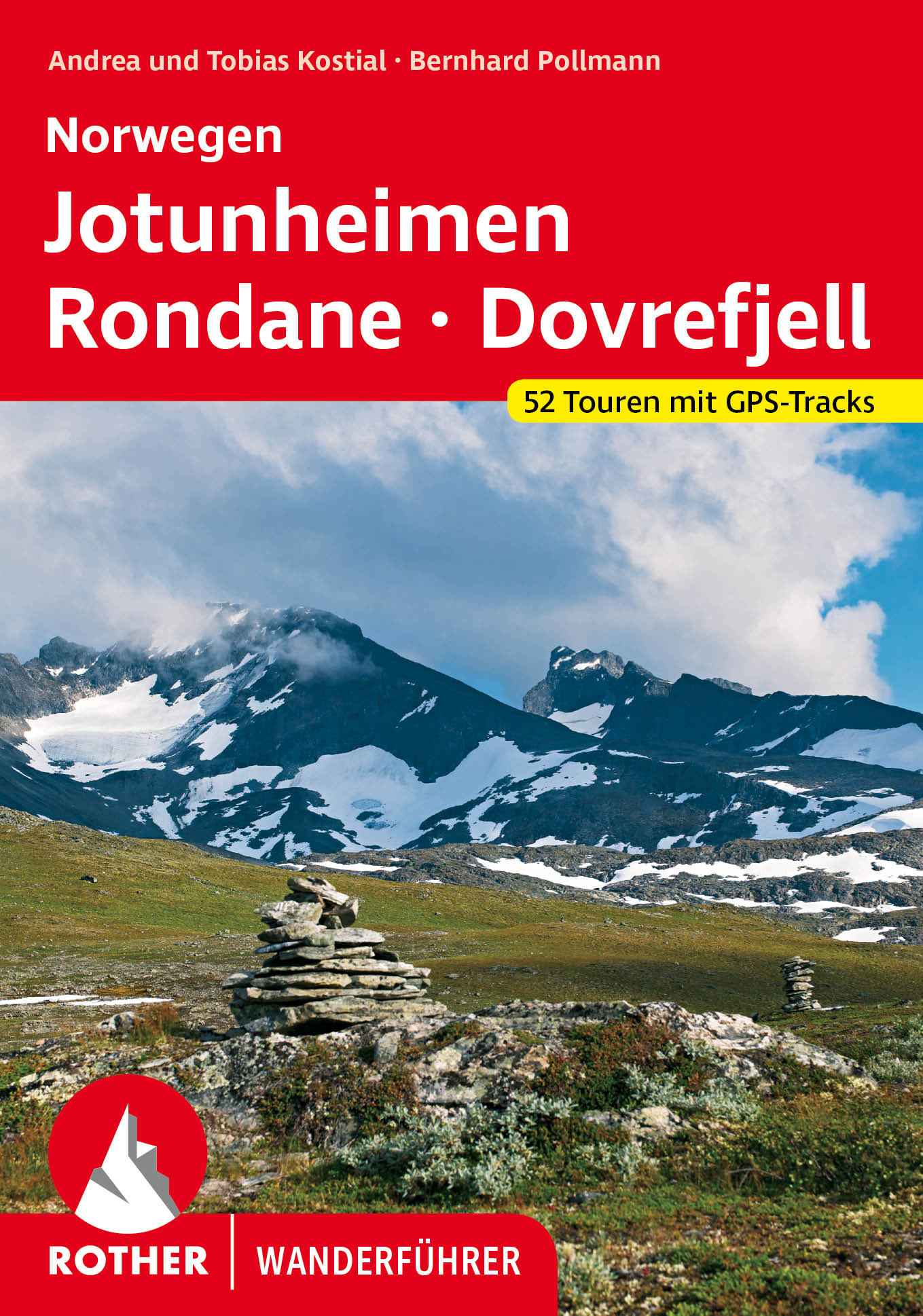
Jotunheimen, Home of the Giants, is the most famous and spectacular hiking region in Norway. Thanks to the hard gabbro rock, the mountains in this part of Norway are less eroded. The area counts twenty mountain peaks higher than 2300 meters, including the highest in the country: Galdhøpiggen (2469) and Glittertind (2452), both equipped with a glacier, both a feasible climb.
Great and well marked trails run between these giants. Perhaps the most famous (and busiest) path of Norway is the Besseggen ridge between the huts Memurubu and Gjendebu. This ridge is steep and exposed, but not dangerous. On the horizon is the sharp Hurrungane climbing range. Far below lie two lakes, seperated by a thin wall only: the green lake Gjende and 400 m higher dark blue lake Bessvatnet. Afraid of heights? Remember that the legendary Per Gynt dashed off the ridge on the back of a reindeer: "right along the Edge we two clove our passage through the air", Henrik Ibsen wrote.
 (L) and Surtningstinden (1997m) (R)")
You are surrounded by high mountains, deep valleys and dark lakes everywhere in Jotunheimen. In early summer, you will hear the roar of waterfalls and streams after every turn.
A good route through the area starts in Otta. Take the morning bus to Glitterheim, and then find your way westward to Hjelle. You can make it in one week, but when you have more time, you can climb some mountains as well. A round trip is also possible, in many variants. Again start in Otta, and continue, criss-crossing the area, to the pleasant DNT hut Gjendesheim. During weekends, buses drive directly to Oslo.
Many huts are available: Gjendesheim, Memurubu, Glitterheim and Gjendebu are staffed DNT huts. Then there are several self-service and unstaffed huts, plus several private huts. Carrying a tent is not needed.
Map

")


 with cairn on its shore")
, DNT's popular self-service hut in the centre of Jotunheimen")
 (L), Rauddalseggje (2168m) (R)")

")
 - DNT hut")


 mirrors in Urdadalsvatnet (1316m)")
")


Links
Facts
Reports
Guides and maps
Lodging
Organisations
Tour operators
GPS
Other
Books

United Kingdom
- DK Eyewitness Norway
- Epic and idyllic, Norway is a country of contrasts.Whether you want to hike around the ”Home of the Giants” in Jotunheimen, hit the slopes at Hafjell or hunker down in a cosy cafe in Oslo, your DK Eyewitness travel guide makes sure you experience all that Norway has to offer.With its dramatic coastline, unspoiled mountain ranges and phenomenal... Read more

Netherlands
2014
- Walking in Norway
- This book describes 20 walking routes in the mains mountain areas of Norway, ranging from the far south to the Arctic regions. Here you will find mountains relatively free from crowds, and few roads criss-crossing the remote landscape; within this ideal setting for walkers, cairned routes twist through splendid scenery and link up with... Read more
- Also available from:
- Bol.com, Belgium
Belgium
2014
- Walking in Norway
- This book describes 20 walking routes in the mains mountain areas of Norway, ranging from the far south to the Arctic regions. Here you will find mountains relatively free from crowds, and few roads criss-crossing the remote landscape; within this ideal setting for walkers, cairned routes twist through splendid scenery and link up with... Read more
Netherlands
2013
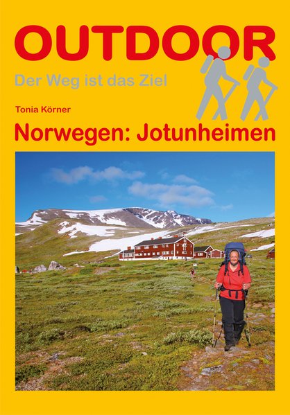
- Wandelgids Jotunheimen | Conrad Stein Verlag
- Duitstalige wandelgids Jotunheimen (Noorwegen) met beschrijvingen van meerdaagse wandeltochten door het gebied Jotunheimen – das Heim der Riesen - ist eine der beeindruckendsten Bergwanderregionen Norwegens. Es trägt seinen Namen zu Recht, denn schließlich finden sich alle norwegischen Gipfel über 2.300 m hier, mit Galdøppingen (2.469 m),... Read more
- Also available from:
- Bol.com, Belgium
Netherlands
- Norway the Outdoor Paradise
- This book is the story of James Baxter's 2700 kilometre ski up the entire length of Norway, followed by his 3100 kilometre kayak down the whole of Norway's coast. This eight month journey took him through Europe's most pristine natural wonders; the empty snow-covered spine of Scandinavia's mountain chain, the Arctic taiga forests and tundra,... Read more
- Also available from:
- Bol.com, Belgium
Belgium
- Norway the Outdoor Paradise
- This book is the story of James Baxter's 2700 kilometre ski up the entire length of Norway, followed by his 3100 kilometre kayak down the whole of Norway's coast. This eight month journey took him through Europe's most pristine natural wonders; the empty snow-covered spine of Scandinavia's mountain chain, the Arctic taiga forests and tundra,... Read more
Netherlands
2023
Maps

United Kingdom
- Jotunheimen East Nordeca 2503
- The eastern part of the Jotunheimen region in Norway in a series of GPS compatible recreational maps at 1:50,000 with cartography from Norway’s topographic survey and additional tourist information. Contours lines are drawn at 20m intervals. The overprint varies from title to title, but includes local footpaths, in some cases distinguishing... Read more

United Kingdom
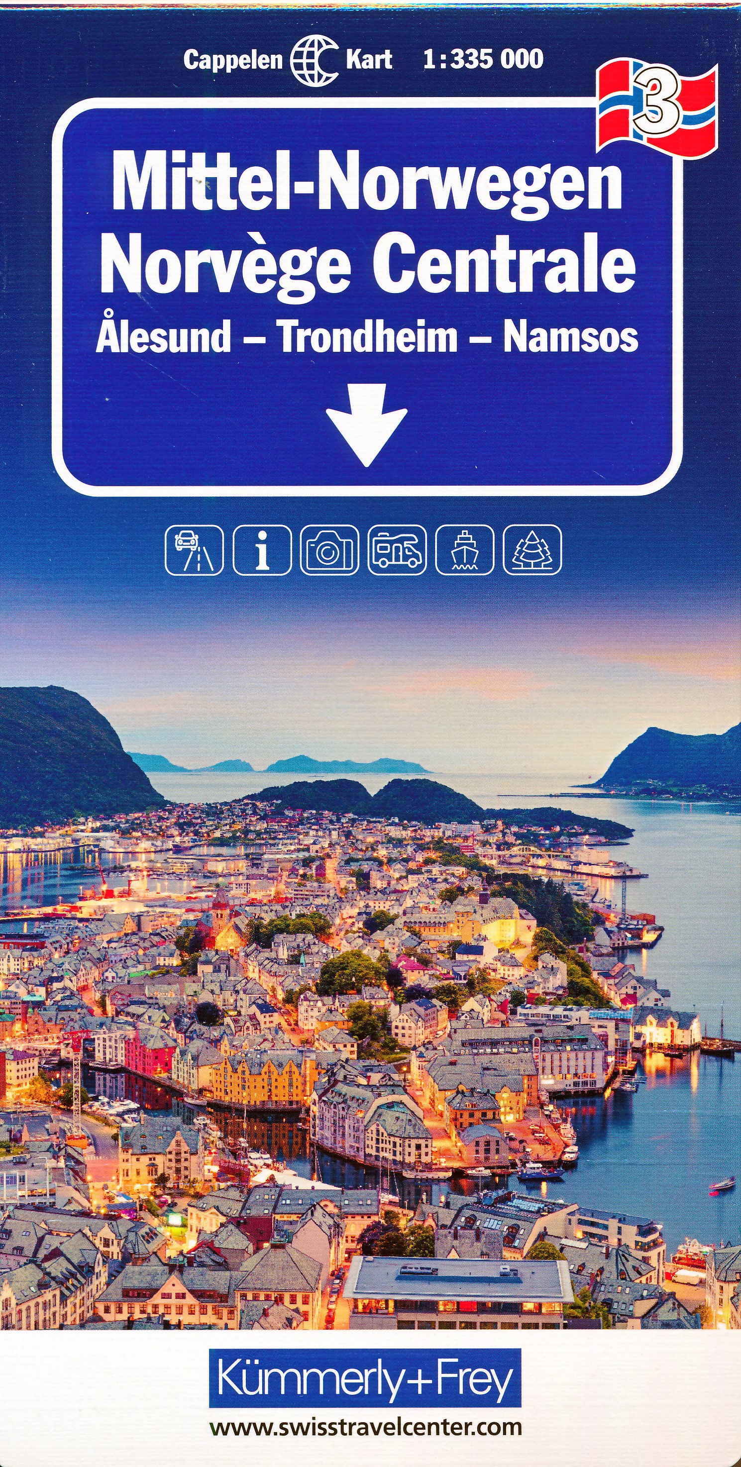
- Southern Norway North - Oslo - Bergen - Rondvassbu - Galdhopiggen Cappelen Sectional Road Map
- Southern Norway North: Oslo - Bergen - Sognefjord - Ålesund region at 1:335,000 from Cappelen, covering several national parks including Jotunheimen and Rondane (both also shown on contoured enlargements), plus city maps of central Oslo and the Bergen area.Coverage extends from Oslo and the Hardangervidda NP northwards to Ålesund and Røros and... Read more

United Kingdom
- Jotunheimen West Nordeca 2505
- The western part of the Jotunheimen region in Norway in a series of GPS compatible recreational maps at 1:50,000 with cartography from Norway’s topographic survey and additional tourist information. Contours lines are drawn at 20m intervals. The overprint varies from title to title, but includes local footpaths, in some cases distinguishing... Read more

United Kingdom
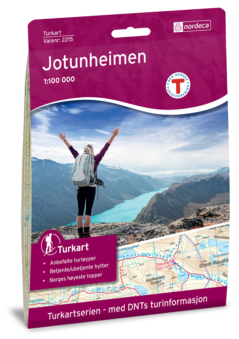
- Jotunheimen Nordeca 2215
- Jotunheimen area in Norway in a series of GPS compatible recreational Turkart maps at 1:100,000 with cartography from Norway’s topographic survey and additional tourist information. Contours lines are drawn at 20m intervals. The overprint varies from title to title, but includes local footpaths, in some cases distinguishing between easy and... Read more

United Kingdom
- Valdresflye Nordeca Tourist Route 20006
- This Valdresflye National Tourist Route Map belongs to a series of 18 map and postcards sets describing popular tourist routes all over Norway. The map set includes a map in 1: 50,000 presenting an accurate topography (based on the Norwegian topographic survey) which describes local footpaths, cycle or ski routes, sport and recreational... Read more
Netherlands
2016
- Wandelkaart 2215 Turkart Jotunheimen | Nordeca
- Gebied: Jotunheimen Uitstekende wandelkaart van een deel van Noorwegen. De Noren zelf gebruiken deze kaarten ook voor hun wandeltochten in de berggebieden. Afhankelijk van de moeilijkheidsgraad van het gebied voldoet een 1:25.000, 1:50.000 of 1:100.000 kaart. Alle noodzakelijke informatie vind je er op terug: bemande en onbemande hutten,... Read more
Netherlands
- Wandelkaart - Topografische kaart 10063 Norge Serien Jostedalsbreen | Nordeca
- Een compleet nieuwe serie topografische kaarten voor Noorwegen 1:50 000. Het heeft een moderne cartografie, ontwikkeld voor het actieve buitenleven. Deze kaarten zijn ideaal voor wandel-en recreatief gebruik in de bergen, bossen, langs de kust en voor de jacht en de visserij. Voor professionele organisaties bieden de kaarten de nodige kennis... Read more
Netherlands
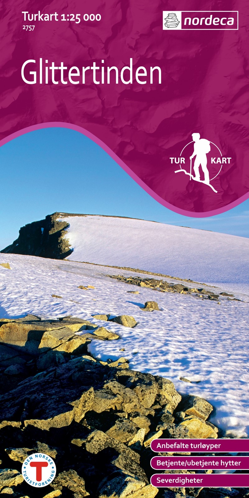
- Wandelkaart 2757 Turkart Glittertinden | Nordeca
- Gebied: Jotunheimen Uitstekende wandelkaart van een deel van Noorwegen. De Noren zelf gebruiken deze kaarten ook voor hun wandeltochten in de berggebieden. Afhankelijk van de moeilijkheidsgraad van het gebied voldoet een 1:25.000, 1:50.000 of 1:100.000 kaart. Alle noodzakelijke informatie vind je er op terug: bemande en onbemande hutten,... Read more
Netherlands
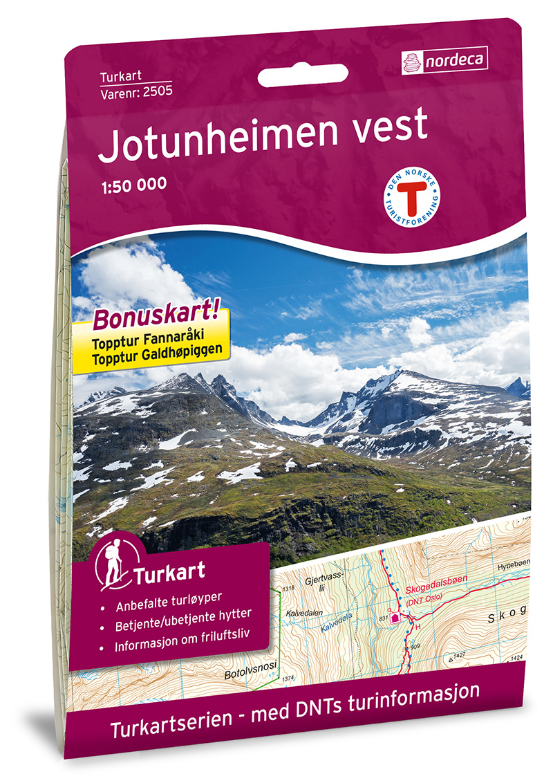
- Wandelkaart 2505 Turkart Jotunheimen Vest - West | Nordeca
- Gebied: Årdal; Skjåk; Lom, Luster, Vang Uitstekende wandelkaart van een deel van Noorwegen. De Noren zelf gebruiken deze kaarten ook voor hun wandeltochten in de berggebieden. Afhankelijk van de moeilijkheidsgraad van het gebied voldoet een 1:25.000, 1:50.000 of 1:100.000 kaart. Alle noodzakelijke informatie vind je er op terug: bemande en... Read more
Netherlands
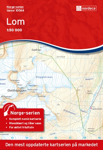
- Wandelkaart - Topografische kaart 10064 Norge Serien Lom | Nordeca
- Een compleet nieuwe serie topografische kaarten voor Noorwegen 1:50 000. Het heeft een moderne cartografie, ontwikkeld voor het actieve buitenleven. Deze kaarten zijn ideaal voor wandel-en recreatief gebruik in de bergen, bossen, langs de kust en voor de jacht en de visserij. Voor professionele organisaties bieden de kaarten de nodige kennis... Read more
Netherlands
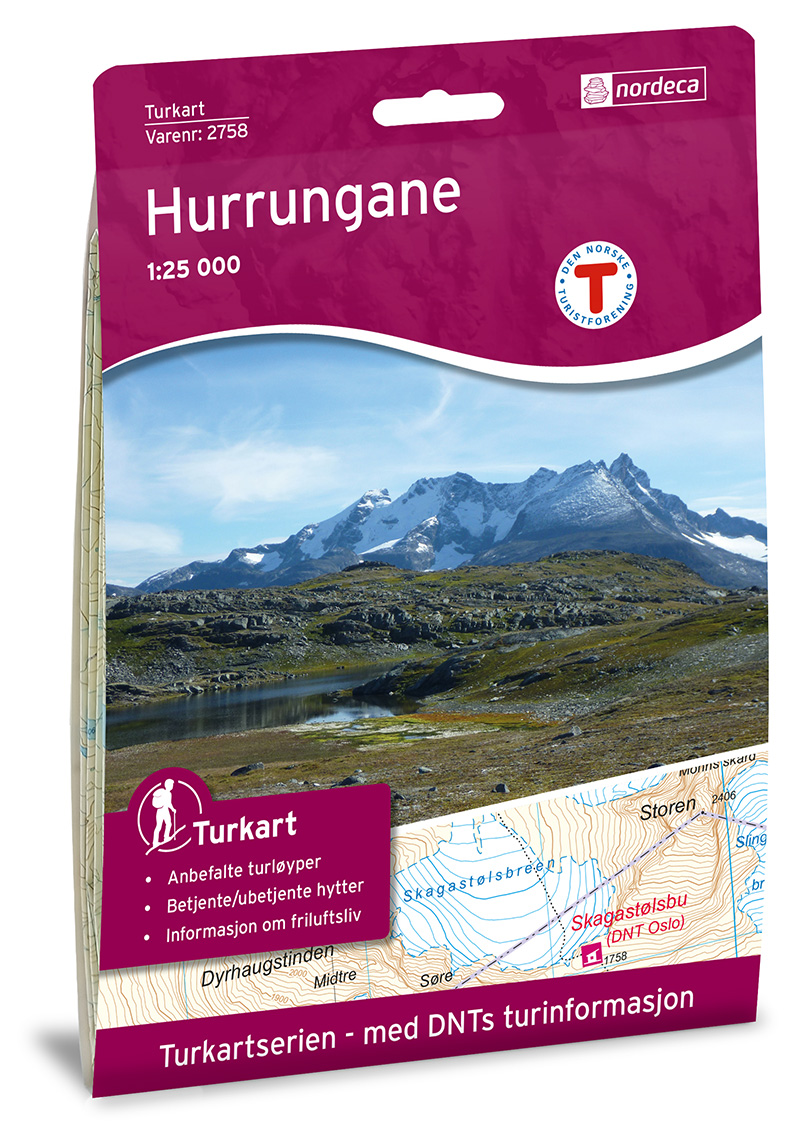
- Wandelkaart 2758 Turkart Hurrungane | Nordeca
- Gebied: Jotunheimen Uitstekende wandelkaart van een deel van Noorwegen. De Noren zelf gebruiken deze kaarten ook voor hun wandeltochten in de berggebieden. Afhankelijk van de moeilijkheidsgraad van het gebied voldoet een 1:25.000, 1:50.000 of 1:100.000 kaart. Alle noodzakelijke informatie vind je er op terug: bemande en onbemande hutten,... Read more
Netherlands
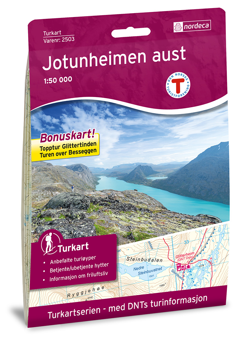
- Wandelkaart 2503 Turkart Jotunheimen Aust - Oost | Nordeca
- Gebied: Vang, Nord-Fron, Lom, Vågå; Øystre Slidre Uitstekende wandelkaart van een deel van Noorwegen. De Noren zelf gebruiken deze kaarten ook voor hun wandeltochten in de berggebieden. Afhankelijk van de moeilijkheidsgraad van het gebied voldoet een 1:25.000, 1:50.000 of 1:100.000 kaart. Alle noodzakelijke informatie vind je er op terug:... Read more