Dents du Midi
Description
- Height 3257.00 m
Links
Facts
Reports
Guides and maps
Lodging
Organisations
Tour operators
GPS
Other
Books

Stanfords
United Kingdom
2019
United Kingdom
2019
- Du Léman à la Vanoise - par le Mont Blanc et le Beaufortain GR5
- The first, 206-km long Alpine section of the GR5 from Lake Geneva, past Mont Blanc and across the Col de la Croix-du-Bonhomme, to Landry north of the Vanoise Massif, FFRP topo-guide ref. no. 504, with colour maps from the IGN TOP25 series at 1:25,000. Also included is a tour of the Dents du Midi. Current edition of this title was published in... Read more
- Also available from:
- De Zwerver, Netherlands
Maps

Stanfords
United Kingdom
United Kingdom
- Dents du Midi - Val d`Illiez - Leysin K+F Hiking Map 39
- Experience the most beautiful hiking tours! Plan, discover and take the best tours. These hiking maps on a scale of 1:40 000 are ideal for planning a hiking tour. The precise cartography shows the walkways including classification. Information on accommodation and meals, bus lines with stops, mountain railways, regional parks, sights and much... Read more
- Also available from:
- The Book Depository, United Kingdom

The Book Depository
United Kingdom
United Kingdom
- Dents du Midi / Val d'Illiez / Leysin
- Experience the most beautiful hiking tours! Plan, discover and take the best tours. These hiking maps on a scale of 1:40 000 are ideal for planning a hiking tour. The precise cartography shows the walkways including classification. Information on accommodation and meals, bus lines with stops, mountain railways, regional parks, sights and much... Read more

Stanfords
United Kingdom
United Kingdom
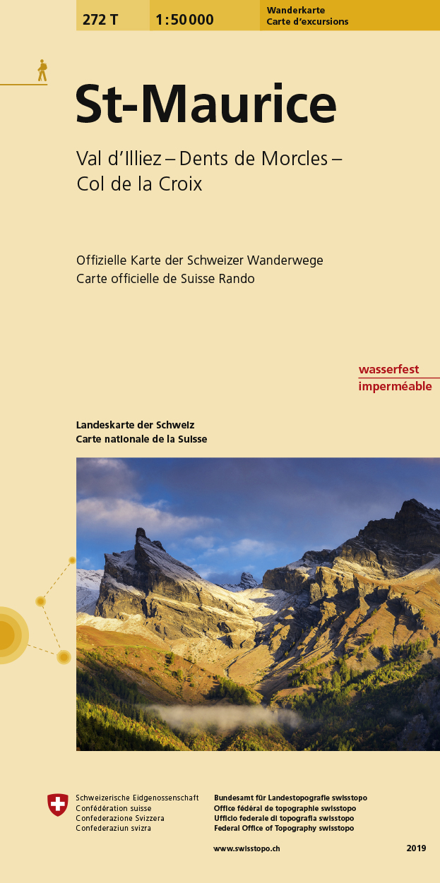
- St-Maurice Swisstopo Hiking 272T
- St-Maurice area, map No. 272T, at 1:50,000 in a special hiking edition of the country’s topographic survey, published by Swisstopo in cooperation with the Swiss Hiking Federation. Coverage extends from the resort of Les Diablerets and Col du Pillon in the north-east to Dents du Midi in the south.Cartography, identical to the standard version of... Read more
- Also available from:
- De Zwerver, Netherlands

De Zwerver
Netherlands
Netherlands
- Wandelkaart 272T St. Maurice | Swisstopo
- St-Maurice area, map No. 272T, at 1:50,000 in a special hiking edition of the country Read more

Stanfords
United Kingdom
United Kingdom
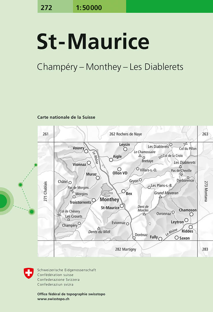
- St-Maurice Swisstopo 272
- St-Maurice, map No. 272, in the standard topographic survey of Switzerland at 1:50,000 from Swisstopo, i.e. without the special overprint highlighting walking trails, local bus stops, etc, presented in Swisstopo’s hiking editions of the 50K survey. Coverage extends from the resort of Les Diablerets and Col du Pillon in the north-east to Dents... Read more
- Also available from:
- De Zwerver, Netherlands

De Zwerver
Netherlands
Netherlands
- Wandelkaart - Topografische kaart 272 St-Maurice | Swisstopo
- St-Maurice, map No. 272, in the standard topographic survey of Switzerland at 1:50,000 from Swisstopo, i.e. without the special overprint highlighting walking trails, local bus stops, etc, presented in Swisstopo Read more


