
Via Francigena
Description
- Name Via Francigena
- Length of trail 1,700 km, 1,056 miles
- Length in days 85 days
- Start of trail Canterbury (Uk)
- End of trail Roma (I)
- Traildino grading EW, Easy walk, nature trail


Ancient route between Canterbury in the UK and Rome in Italy.
In Switzerland: 215 km. Ste-Croix to Col du Gd St-Bernard (see map).
Select some tracks
☐Via Francigena del Sud, tratto Italia
☐Variante Sud Via Francigena, 30km
☐Via Francigena di monte-Sentiero 103, 3.3km
☐Variante Nord Via Francigena, 41km
☐Via Romea Francigena - part Switzerland - side trip, 3km
☐Via Romea Francigena - Pontarlier to Orbe, 43km
☐(no name), 1.2km
☐Via Francigena - Lombardia - Mortara alternative, 12km
☐Via Francigena, Emilia-Romanga - alternative from Piacenza, 17km
☐Via Francigena - Variante di Monte, 45km
☐Via Francigena - part of Lazio - Giulianello variant
☐Via Romea Francigena - Pontarlier to Bretonnières-parallels N57 to Jounge via les Clées bypassing Orbe, 35km
☐Via Francigena, Toscana var Montelungo-Pontremoli, 14km
☐Via Francigena Santa sabina-Torre Guaceto, 1km
☐Variante Via Francigena, 15km
☐Variante Via Francigena, 6km
☐(no name), 9.6km
☐Tracciato dell'acquedotto Carolino e Via Francigena del sud, 11km
☐Molino del Piano - Bettigna - Via Francigena, 0.6km
☐(no name), 18km
☐Variante Cimina, 39km
☐Via Francigena - Variante Micaelica, 110km
☐Via Francigena - variante litoranea, 77km
☐Via Normanna - Tappa 18, 13km
☐Via Francigena Palermo-Messina per le Montagne-Tappa 20.1, 14km
☐x Via Francigena Palermo-Messina per le Montagne, 1.6km
☐Via Francigena - 04 Emilia Romagna Zena, 7.6km
☐03 - Anello della Via Francigena, 13km
☐(no name), 11km
☐(no name), 12km
☐(no name), 17km
☐(no name), 18km
☐(no name), 22km
Map

Links
Facts
Reports
Guides and maps
Lodging
Organisations
Tour operators
GPS
Other
Books

Stanfords
United Kingdom
United Kingdom
- Pilgrimage: The Great Pilgrim Routes of Britain and Europe
- Shortlisted for a 2018 Edward Stanford Travel Writing Award.Ten historic pilgrim routes of Western Europe, inspiration for today`s long distance walker. Pilgrimage in Europe is thriving on a massive scale. In 1990 the cathedral at Santiago de Compostela recorded less than 5000 pilgrims: today that figure is at least 200,000 a year. Author Derry... Read more

The Book Depository
United Kingdom
2015
United Kingdom
2015
- The Way of St Francis
- Via di Francesco: From Florence to Assisi and Rome Read more
- Also available from:
- De Zwerver, Netherlands

De Zwerver
Netherlands
2019
Netherlands
2019
- Wandelgids - Pelgrimsroute The Way of St Francis - Via Francigena | Cicerone
- Guidebook to walking the Way of St Francis, Via di Francesco. 550km pilgrimage from Florence, through Assisi to Rome through Central Italy visiting key sites from the saint's life. Described in 28 stages, the guide to the month-long route includes detailed maps, profiles and information about all the shrines, churches and towns along the way. Read more

The Book Depository
United Kingdom
2023
United Kingdom
2023
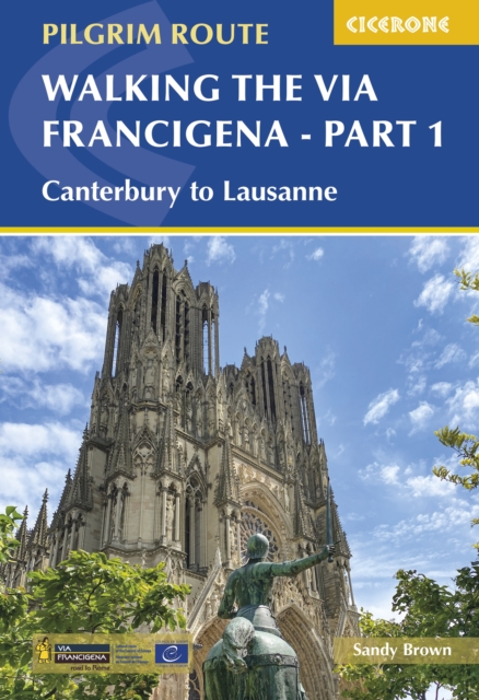
- Walking the Via Francigena Pilgrim Route - Part 1
- Canterbury to Lausanne Read more
- Also available from:
- De Zwerver, Netherlands
De Zwerver
Netherlands
2023
Netherlands
2023
- Wandelgids Via Francigena Pilgrim Route Part 1 | Cicerone
- Canterbury to Lausanne Read more

The Book Depository
United Kingdom
2021
United Kingdom
2021
- Also available from:
- De Zwerver, Netherlands
De Zwerver
Netherlands
2021
Netherlands
2021

The Book Depository
United Kingdom
2021
United Kingdom
2021
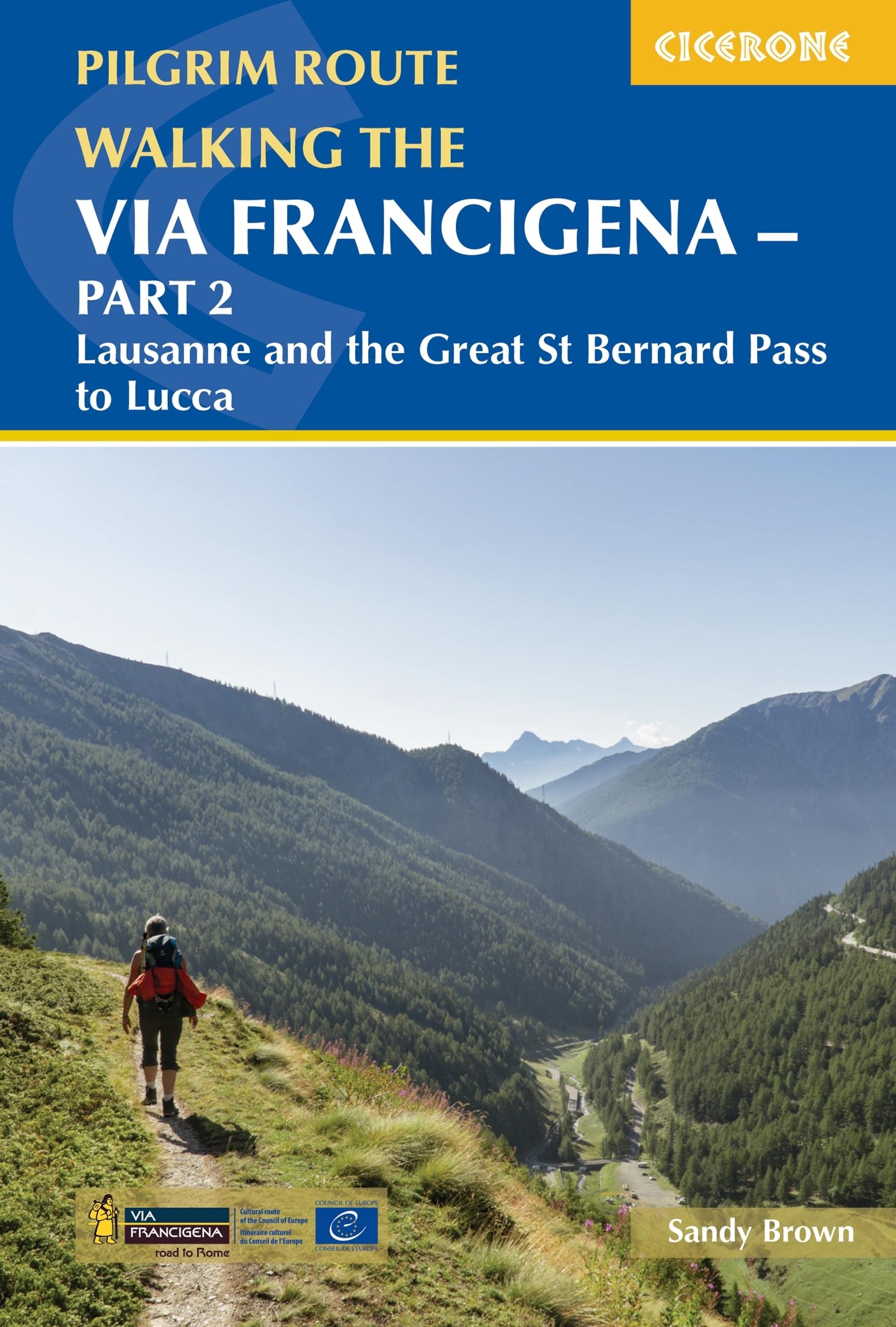
- Walking the Via Francigena Pilgrim Route - Part 2
- Lausanne and the Great St Bernard Pass to Lucca Read more
- Also available from:
- De Zwerver, Netherlands
De Zwerver
Netherlands
2021
Netherlands
2021
- Wandelgids - Pelgrimsroute Via Francigena part 2 | Cicerone
- Lausanne and the Great St Bernard Pass to Lucca Read more
De Zwerver
Netherlands
2022
Netherlands
2022
De Zwerver
Netherlands
2013
Netherlands
2013
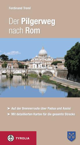
- Wandelgids - Pelgrimsroute Der Pilgerweg nach Rom | Tyrolia
- Auf der Brennerroute über Padua und Assisi. Abt-Albert-von Stade-Weg, Antoniusweg Cammino di Sant´Antonio, Franziskusweg Cammino di Assisi, Romweg Via di Roma. Mit detaillierten Karten für die gesamte Strecke. Read more

Bol.com
Netherlands
Netherlands
- The People That Walk To Rome
- Walking from the Netherlands to the Vatican. It wasn't that hard actually. Every day a little bit. In the beginning I was sleeping outside in my tent somewhere in a forest or field. Later I got promoted to centuries-old Italian monasteries. Fantastic! Quite a few colourful personalities crossed my path. People I consider as friends for a... Read more
- Also available from:
- Bol.com, Belgium
Bol.com
Belgium
Belgium
- The People That Walk To Rome
- Walking from the Netherlands to the Vatican. It wasn't that hard actually. Every day a little bit. In the beginning I was sleeping outside in my tent somewhere in a forest or field. Later I got promoted to centuries-old Italian monasteries. Fantastic! Quite a few colourful personalities crossed my path. People I consider as friends for a... Read more
Bol.com
Netherlands
Netherlands
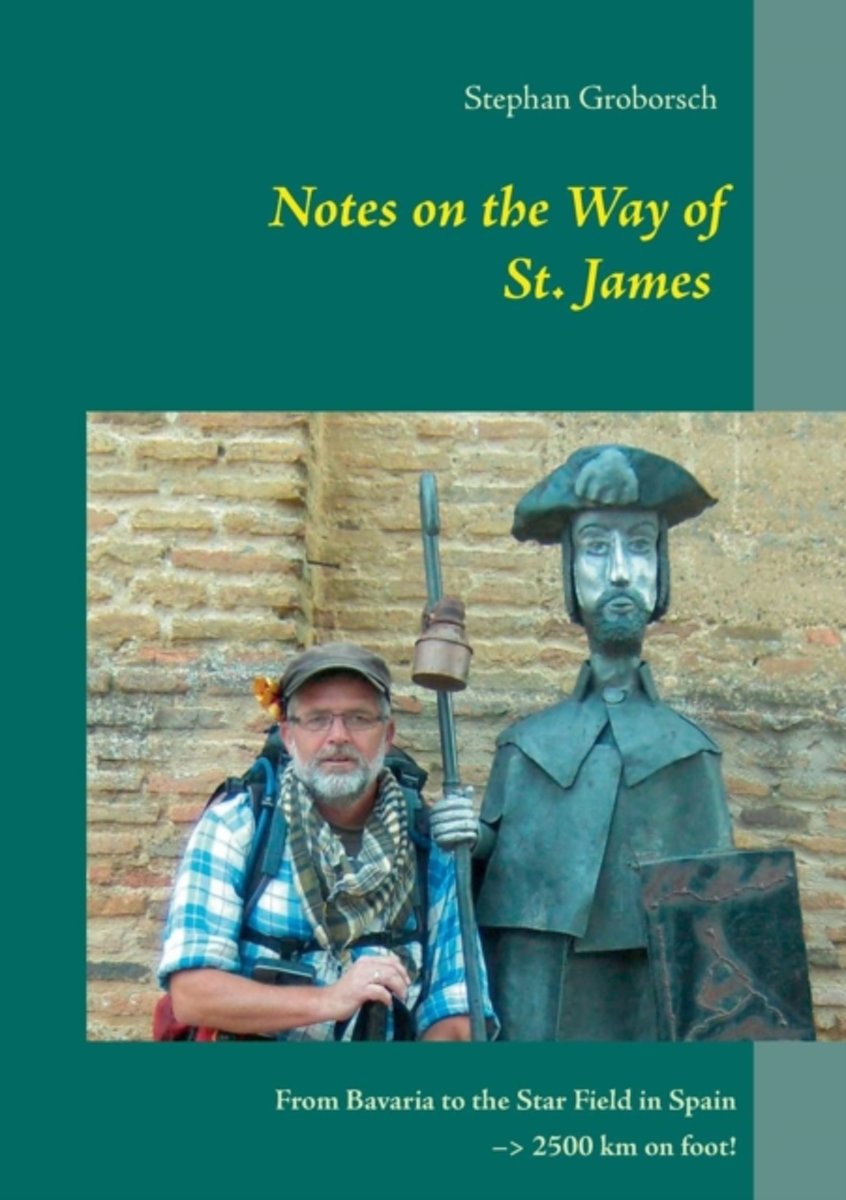
- Notes on the Way of St. James
- "Notes on the Way of St. James" is his account of that journey which began in the early Spring of 2011. The book chronicles the various stages of the adventure from its uncertain beginning through a doubt plagued stretch in Switzerland where Stephan wondered where he would ever find the fortitude to finish the pilgrimage. This doubt never fully... Read more
- Also available from:
- Bol.com, Belgium
Bol.com
Belgium
Belgium
- Notes on the Way of St. James
- "Notes on the Way of St. James" is his account of that journey which began in the early Spring of 2011. The book chronicles the various stages of the adventure from its uncertain beginning through a doubt plagued stretch in Switzerland where Stephan wondered where he would ever find the fortitude to finish the pilgrimage. This doubt never fully... Read more
Bol.com
Netherlands
2011
Netherlands
2011
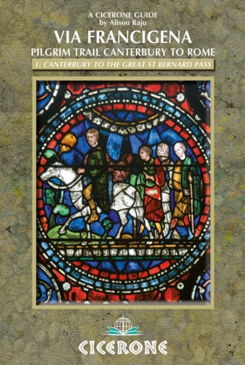
- The The Via Francigena Canterbury to Rome
- This comprehensive guidebook covers the first half of the Via Francigena - a 1900km pilgrim route that crosses Europe from Canterbury to Rome. This volume describes the walk from its start in Canterbury, to the halfway point of the route at the Great St Bernard Pass on the Swiss-Italian border. From Canterbury, the book splits the pilgrimage... Read more
- Also available from:
- Bol.com, Belgium
Bol.com
Belgium
2011
Belgium
2011
- The The Via Francigena Canterbury to Rome
- This comprehensive guidebook covers the first half of the Via Francigena - a 1900km pilgrim route that crosses Europe from Canterbury to Rome. This volume describes the walk from its start in Canterbury, to the halfway point of the route at the Great St Bernard Pass on the Swiss-Italian border. From Canterbury, the book splits the pilgrimage... Read more
De Zwerver
Netherlands
2020
Netherlands
2020

Stanfords
United Kingdom
2013
United Kingdom
2013
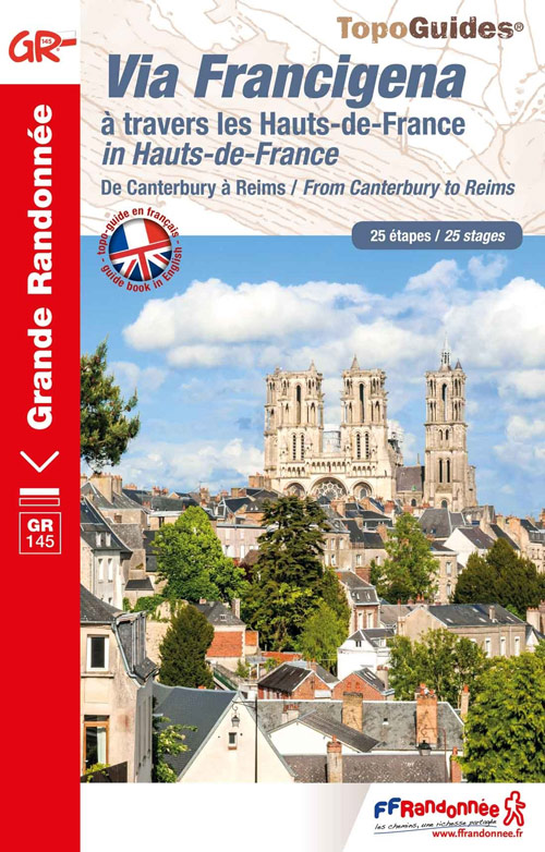
- GR145: The Via Francigena in Pas-de-Calais FFRP Topo-guide No. 1451
- The first stage in France of the Via Francigena, one of the great medieval pilgrim routes, in a bilingual English / French topoguide with colour extracts from IGN’s topographic survey at 1:50,000, accommodation recommendations, etc.The guide covers a 12 day - 235km long section from Calais to Rocquigny, including parts of WWI Western Front in... Read more
- Also available from:
- De Zwerver, Netherlands

De Zwerver
Netherlands
2013
Netherlands
2013
- Wandelgids 1451 La Via Francigena à travers le Pas-de-Calais GR145 | FFRP
- Guide FFRandonnée La Via Francigena à travers le Pas-de-Calais - GR 145 - 245 Km de sentiers GR.Ancienne voie de pèlerinage, au même titre que les chemins de Saint-Jacques ou du Mont-Saint-Michel, ce topo-guide bilingue français/anglais (une grande première !) comprend les 245 premiers kilomètres français de l'itinéraire ancestral reliant... Read more
De Zwerver
Netherlands
2023
Netherlands
2023
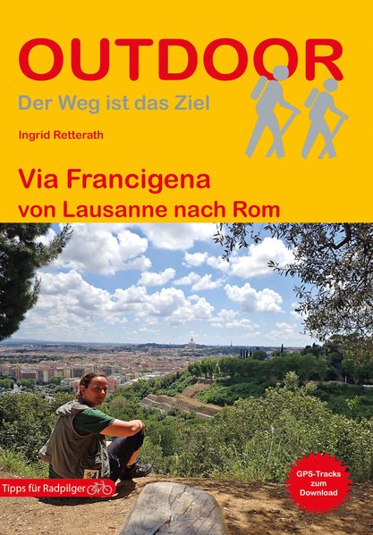
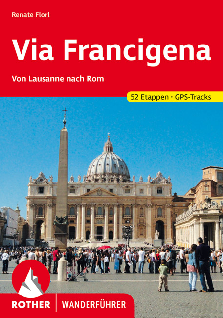
- Wandelgids - Pelgrimsroute Via Francigena - Lausanne naar Rome | Rother Bergverlag
- Von Lausanne nach Rom. 52 Etappen. Mit GPS-Daten Rother Wanderführer. 1., Auflage. Read more
Maps

Stanfords
United Kingdom
United Kingdom
- Lago di Bolsena - Acquapendente - Orvieto - Pitigliano - Sorano Kompass 2471
- Lago di Bolsena – Orvieto area at 1:50,000 from Kompass on a map printed on durable, waterproof and tear-resistant synthetic paper. Coverage includes Acquapendente, Ficulle, Santa Flora, Valentano, Montefiascone, Selva del Lamone, etc. Contours are at 40m intervals, with a 2-km UTM grid. Extensive overprint includes cycling and selected... Read more

Stanfords
United Kingdom
United Kingdom
- Siena - Volterra - Massa Marittima - Roccastrada Kompass 2462
- Siena - Volterra - Massa Marittima - Rocca Strada map at 1:50,000 from Kompass, printed on durable, waterproof and tear-resistant synthetic paper. Coverage includes Colle di Va d’Elsa, Casole d’Elsa, Metallifere hills, etc. Contours are at 40m intervals, with a 2-km UTM grid. Extensive overprint includes GEA - Grande Escursione Appenninica,... Read more

Stanfords
United Kingdom
United Kingdom
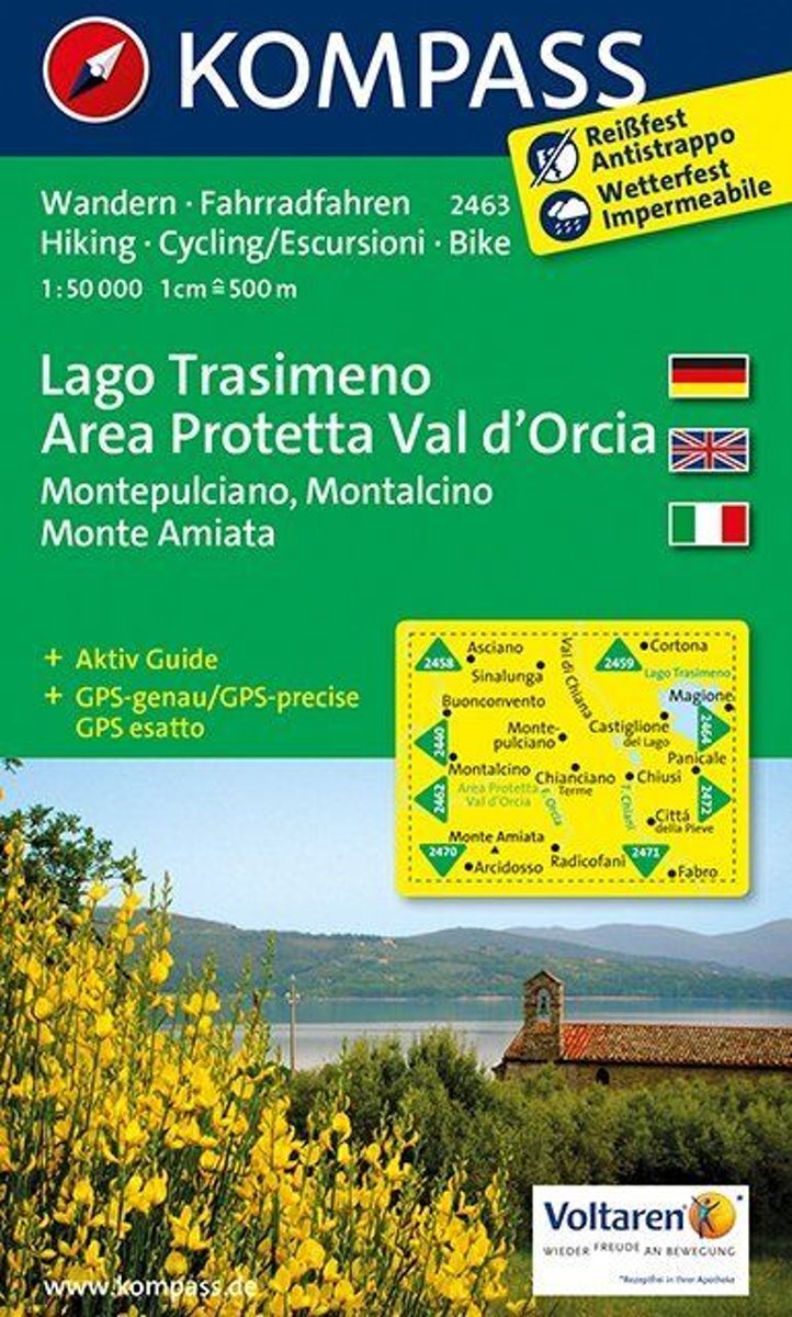
- Lake Trasimeno - Val d`Orcia - Montepulciano - Monte Amiata Kompass 2463
- Lake Trasimeno - Val d`Orcia - Montepulciano - Monte Amiata area on a double-sided map at 1:50,000 from Kompass, printed on durable, waterproof and tear-resistant synthetic paper. Coverage includes Val di Chiana, Cortona, Montalcino, Asciano, Arcidosso, Fabro, Magione, etc. Contours are at 40m intervals, with a 2-km UTM grid. Extensive... Read more

Stanfords
United Kingdom
United Kingdom
- Pilgrim Routes in the Florentine Countryside: Western Part
- Pilgrim Routes in the Florentine Countryside: Western Part at 1:50,000 is one of two maps from Edizioni Multigraphics highlighting old routes towards Rome, in this title: Via Sanese and Via Pisana, plus a section of Via Francigena.The map covers an area between Florence and Siena and highlights the course of two routes between these cities: Via... Read more

Stanfords
United Kingdom
United Kingdom
- Val d`Arbia, Ombrone and Orcia
- The valleys of Arbia, Ombrone and Orcia in Tuscany directly south of Siena on a detailed contoured map at 1:50,000 from Litografia Artistica Cartografica highlighting the course of La Via Francigena and other waymarked local trails.The map covers an area from Siena southwards to Castel del Piano including several nature reserves. Topography is... Read more

Stanfords
United Kingdom
2013
United Kingdom
2013
- Mont Blanc Massif IGC 4
- The Mont Blanc Massif in a series contoured hiking maps at 1:50,000 with local trails, long-distance footpaths, mountain accommodation, etc, from the Turin based Istituto Geografico Centrale. The map highlights, among other routes, the Alta Via 1 and the northern section of the Alta Via 2, both of which join up with TMB, as well as the local... Read more
- Also available from:
- De Zwerver, Netherlands

De Zwerver
Netherlands
2013
Netherlands
2013
- Wandelkaart 04 Massiccio del Monte Bianco | IGC - Istituto Geografico Centrale
- The Mont Blanc Massif in a series contoured hiking maps at 1:50,000 with local trails, long-distance footpaths, mountain accommodation, etc, from the Turin based Istituto Geografico Centrale. This new edition published in late 2013 highlights, among other routes, the Alta Via 1 and the northern section of the Alta Via 2, both of which join up... Read more

Stanfords
United Kingdom
United Kingdom
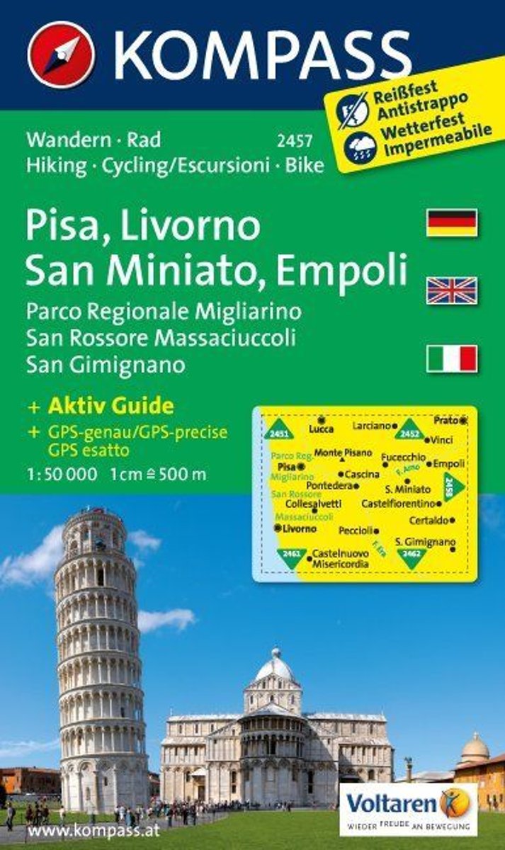
- Pisa - Livorno - San Miniato - Empoli Kompass 2457
- Pisa - Livorno - San Miniato - Empoli area on a double-sided map at 1:50,000 from Kompass, printed on durable, waterproof and tear-resistant synthetic paper. Coverage includes Parco Regionale Migliarino - San Rossore – Massaciuccolli. Contours are at 40m intervals, with a 2-km UTM grid. Extensive overprint includes GEA - Grande Escursione... Read more
- Also available from:
- Bol.com, Netherlands
- Bol.com, Belgium
Bol.com
Netherlands
Netherlands
- Pisa, Livorno, San Miniato, Empoli WK2457
- Deze kaart is ideaal voor het uitstippelen van wandel- en fietsroutes en om onderweg te gebruiken • goed leesbare kaart met heel veel topografische details • duidelijke symbolen maken de kaart extra overzichtelijk • wandel- en fietsroutes zijn aangegeven • praktische informatie over de regio • bruikbaar met GPS • nuttige informatie voor... Read more
Bol.com
Belgium
Belgium
- Pisa, Livorno, San Miniato, Empoli WK2457
- Deze kaart is ideaal voor het uitstippelen van wandel- en fietsroutes en om onderweg te gebruiken • goed leesbare kaart met heel veel topografische details • duidelijke symbolen maken de kaart extra overzichtelijk • wandel- en fietsroutes zijn aangegeven • praktische informatie over de regio • bruikbaar met GPS • nuttige informatie voor... Read more
Bol.com
Netherlands
Netherlands
- Florence, Siena, Chianti WK2458
- Deze kaart is ideaal voor het uitstippelen van wandel- en fietsroutes en om onderweg te gebruiken • goed leesbare kaart met heel veel topografische details • duidelijke symbolen maken de kaart extra overzichtelijk • wandel- en fietsroutes zijn aangegeven • praktische informatie over de regio • bruikbaar met GPS • nuttige informatie voor... Read more
- Also available from:
- Bol.com, Belgium
Bol.com
Belgium
Belgium
- Florence, Siena, Chianti WK2458
- Deze kaart is ideaal voor het uitstippelen van wandel- en fietsroutes en om onderweg te gebruiken • goed leesbare kaart met heel veel topografische details • duidelijke symbolen maken de kaart extra overzichtelijk • wandel- en fietsroutes zijn aangegeven • praktische informatie over de regio • bruikbaar met GPS • nuttige informatie voor... Read more
Bol.com
Netherlands
Netherlands
- Lago Trasimeno, Areo Protetta, Val d'Orcia WK2463
- Deze kaart is ideaal voor het uitstippelen van wandel- en fietsroutes en om onderweg te gebruiken • goed leesbare kaart met heel veel topografische details • duidelijke symbolen maken de kaart extra overzichtelijk • wandel- en fietsroutes zijn aangegeven • praktische informatie over de regio • bruikbaar met GPS • nuttige informatie voor... Read more
- Also available from:
- Bol.com, Belgium
Bol.com
Belgium
Belgium
- Lago Trasimeno, Areo Protetta, Val d'Orcia WK2463
- Deze kaart is ideaal voor het uitstippelen van wandel- en fietsroutes en om onderweg te gebruiken • goed leesbare kaart met heel veel topografische details • duidelijke symbolen maken de kaart extra overzichtelijk • wandel- en fietsroutes zijn aangegeven • praktische informatie over de regio • bruikbaar met GPS • nuttige informatie voor... Read more

Stanfords
United Kingdom
United Kingdom
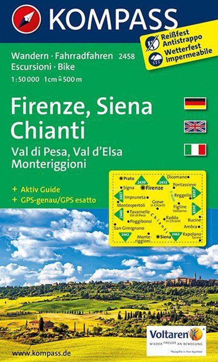
- Florence - Siena - Chianti Kompass 2458
- Florence - Siena - Chianti area on a double-sided map at 1:50,000 from Kompass, printed on durable, waterproof and tear-resistant synthetic paper. Coverage includes Val di Pesa, Val d’Elsa, Monteriggioni, etc. Contours are at 40m intervals, with a 2-km UTM grid. Extensive overprint includes GEA - Grande Escursione Appenninica, Sentiero Italia,... Read more
- Also available from:
- De Zwerver, Netherlands

De Zwerver
Netherlands
Netherlands
- Wandelkaart 2458 Firenze - Siena - Chianti | Kompass
- Florence - Siena - Chianti area on a double-sided map at 1:50,000 from Kompass, printed on durable, waterproof and tear-resistant synthetic paper. Coverage includes Val di Pesa, Val d’Elsa, Monteriggioni, etc. Contours are at 40m intervals, with a 2-km UTM grid. Extensive overprint includes GEA - Grande Escursione Appenninica, Sentiero Italia,... Read more