
Cairngorms
Description
Mountain range in the eastern Highlands of Scotland. The highest of these mountains is named identical: Cairn Gorm, Blue Hill. Highest summit however is Ben Macdui, 1309 m. The mountain range is located between Aviemore and Braemar.
This area is good for walking, both beautiful and wild. The glens are pretty and sometimes spectacular. The mountains themselves can be climbed without technical problems, but require a good physical fitness.
Trails in this region
Links
Facts
Reports
Guides and maps
Lodging
Organisations
Tour operators
GPS
Other
Books

Stanfords
United Kingdom
United Kingdom
- Atholl - Glen Tilt, Beinn Dearg & Carn nan Gabhar OS Explorer Active Map OL51 (waterproof)
- Atholl area the Cairngorms National Park on a detailed topographic and GPS compatible map OL51, waterproof version, from the Ordnance Survey’s 1:25,000 Explorer series. Coverage includes the Grampian Mountains, the Forest of Atholl, Glen Tilt, Glen Garry, 10 Munro peaks including Beinn Dearg, Carn nan Gabhar, A’ Bhuidheanach Bheag, Carn na... Read more

- Also available from:
- De Zwerver, Netherlands
De Zwerver
Netherlands
2021
Netherlands
2021
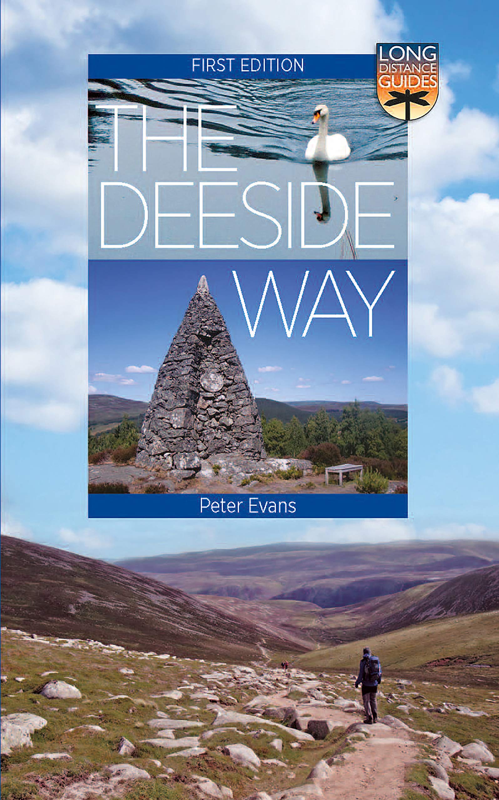
- Wandelgids The Deeside Way | Birlinn
- The Deeside Way is a long-distance path running for 66km (41 miles) from Aberdeen, the oil capital of Europe, to Ballater in Royal Deeside in the Cairngorms National Park. Mainly following the course of old Royal Deeside Railway line, it is suitable for cyclists as well as walkers. There is much to be seen along the Way of scenic beauty,... Read more

Stanfords
United Kingdom
2015
United Kingdom
2015
- Coreen Hills & Glenlivet - Bennachie, Ladder Hills, Insch & Rhynie OS Explorer Map OL62 (paper)
- The Coreen Hills and Glenlivet area of the Scottish Highlands on a detailed topographic and GPS compatible map OL62, paper version, from the Ordnance Survey’s 1:25,000 Explorer series. Coverage includes part of the Cairngorms National Park,Ladder Hills, Insch, Rhynie, Bennachie, a section of the Gordon Way, etc.MOBILE DOWNLOADS: this title and... Read more
- Also available from:
- The Book Depository, United Kingdom
- De Zwerver, Netherlands


Stanfords
United Kingdom
United Kingdom
- Lochindorb, Grantown-on-Spey & Carrbridge OS Explorer Active Map OL60 (waterproof)
- Lochindorb, Grantown-on-Spey and Carrbridge area of the Scottish Highlands on a detailed topographic and GPS compatible map OL60, waterproof version, from the Ordnance Survey’s 1:25,000 Explorer series. Coverage includes part of the Cairngorms National Park, Strathdearn, sections of the Speyside Way and the Dava Way, etc.MOBILE DOWNLOADS: this... Read more
- Also available from:
- The Book Depository, United Kingdom


The Book Depository
United Kingdom
2021
United Kingdom
2021
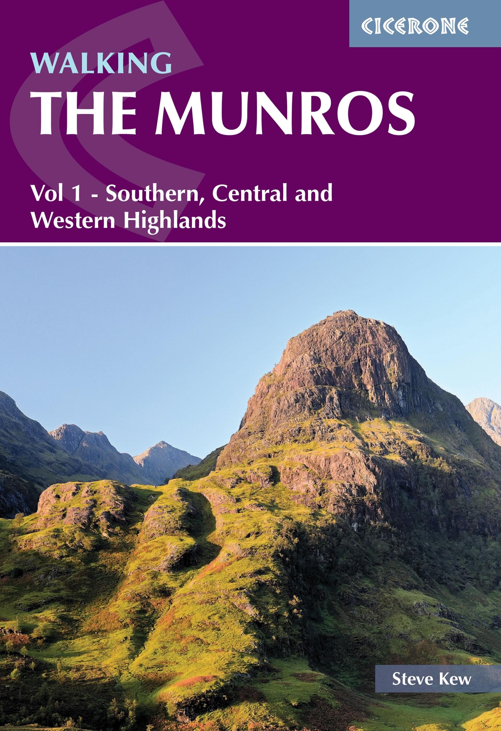
- Walking the Munros Vol 1 - Southern, Central and Western Highlands
- Half of a two-volume set describing challenging and inspiring routes to climb Scotland`s 282 3000ft+ mountains, this guide covers the southern, central and western Highlands (south of the Great Glen), taking in stunning areas such as Glen Coe, Glen Shee, Lochaber and Mull. 69 demanding and inspiring routes are described, covering 139 Munro... Read more
- Also available from:
- De Zwerver, Netherlands
De Zwerver
Netherlands
2021
Netherlands
2021
- Wandelgids Walking The Munros Vol 1 Southern, Central and Western Highlands - Schotland | Cicerone
- Half of a two-volume set describing challenging and inspiring routes to climb Scotland`s 282 3000ft+ mountains, this guide covers the southern, central and western Highlands (south of the Great Glen), taking in stunning areas such as Glen Coe, Glen Shee, Lochaber and Mull. 69 demanding and inspiring routes are described, covering 139 Munro... Read more

Stanfords
United Kingdom
2015
United Kingdom
2015
- Glen Shee & Braemar - The Cairnwell & Glas Maol OS Explorer Map OL52 (paper)
- Glen Shee and Braemar area of the Scottish Highlands on a detailed topographic and GPS compatible map OL52, paper version, from the Ordnance Survey’s 1:25,000 Explorer series. Coverage includes part of the Cairngorms National Park, 12 Munro peaks including The Cairnwell, Glas Maol and An Socach, a section of the Cateran Trail, etc.MOBILE... Read more
- Also available from:
- The Book Depository, United Kingdom
- De Zwerver, Netherlands

De Zwerver
Netherlands
2021
Netherlands
2021

Stanfords
United Kingdom
United Kingdom
- Ben Alder, Loch Ericht & Loch Laggan - Dalwhinnie OS Explorer Active Map OL50 (waterproof)
- Ben Alder, Loch Ericht and Loch Laggan area of the Scottish Highlands on a detailed topographic and GPS compatible map 50, waterproof version, from the Ordnance Survey’s 1:25,000 Explorer series. Coverage includes a small section of the Cairngorms National Park near Dalwhinnie, 16 Munro peaks including Geal Charn, Carn Dearg, and Beinn na Lap,... Read more
- Also available from:
- The Book Depository, United Kingdom


Stanfords
United Kingdom
United Kingdom
- Grantown-on-Spey & Hills of Cromdale - Upper Knockando & Tomnavoulin OS Explorer Active Map OL61 (waterproof)
- Grantown-on-Spey and the Hills of Cromdale area of the Scottish Highlands on a detailed topographic and GPS compatible map OL61, waterproof version, from the Ordnance Survey’s 1:25,000 Explorer series. Coverage includes part of the Cairngorms National Park, Bridge of Avon, Upper Knockando, Tomnavoulin, sections of the Speyside Way and the Dava... Read more
- Also available from:
- The Book Depository, United Kingdom

The Book Depository
United Kingdom
United Kingdom

- Also available from:
- De Zwerver, Netherlands
De Zwerver
Netherlands
2010
Netherlands
2010
- Wandelgids Weekend Walks Moray | Pocket Mountains
- The Moray coastline has a string of superb sandy beaches, and towns such as Buckie, Lossiemouth and Nairn (historically part of Morayshire) have long been popular for family holidays. For the walker there are cliffs, arches and stacks as well as sand and dunes, whilst offshore it may be possible to glimpse the famous Moray Firth dolphins. Set... Read more

- Also available from:
- De Zwerver, Netherlands

Stanfords
United Kingdom
2022
United Kingdom
2022
- Lochnagar, Glen Muick & Glen Clova - Ballater & Balmoral OS Explorer Map OL53 (paper)
- Lochnagar, Glen Muick and Glen Clova area of the Cairngorms National Park on a detailed topographic and GPS compatible map OL53, paper version, from the Ordnance Survey’s 1:25,000 Explorer series. Coverage includes part of the Deeside and Lochnagar National Scenic Area, 11 Munro peaks including Broad Cairn, Mayar, and Tom Buidhe, Glen Prosen,... Read more
- Also available from:
- The Book Depository, United Kingdom
- De Zwerver, Netherlands


Stanfords
United Kingdom
United Kingdom
- Coreen Hills & Glenlivet - Bennachie, Ladder Hills, Insch & RhynieOS Explorer Active Map OL62 (waterproof)
- The Coreen Hills and Glenlivet area of the Scottish Highlands on a detailed topographic and GPS compatible map OL62, waterproof version, from the Ordnance Survey’s 1:25,000 Explorer series. Coverage includes part of the Cairngorms National Park,Ladder Hills, Insch, Rhynie, Bennachie, a section of the Gordon Way, etc.MOBILE DOWNLOADS: this title... Read more
- Also available from:
- The Book Depository, United Kingdom

The Book Depository
United Kingdom
United Kingdom

- Also available from:
- De Zwerver, Netherlands
De Zwerver
Netherlands
2011
Netherlands
2011
- Wandelgids Weekend Walks Aberdeen and Aberdeenshire | Pocket Mountains
- Aberdeenshire has a stunning coastline with vast, spectacular sandy beaches and picturesque fishing villages. Inland is fertile, peaceful farmland rising to the moors and finally the foothills of the Cairngorms. Its beating heart is the thriving city of Aberdeen. We help you find the best walking routes in all parts of Aberdeenshire, from the... Read more

- Also available from:
- De Zwerver, Netherlands
De Zwerver
Netherlands
2022
Netherlands
2022
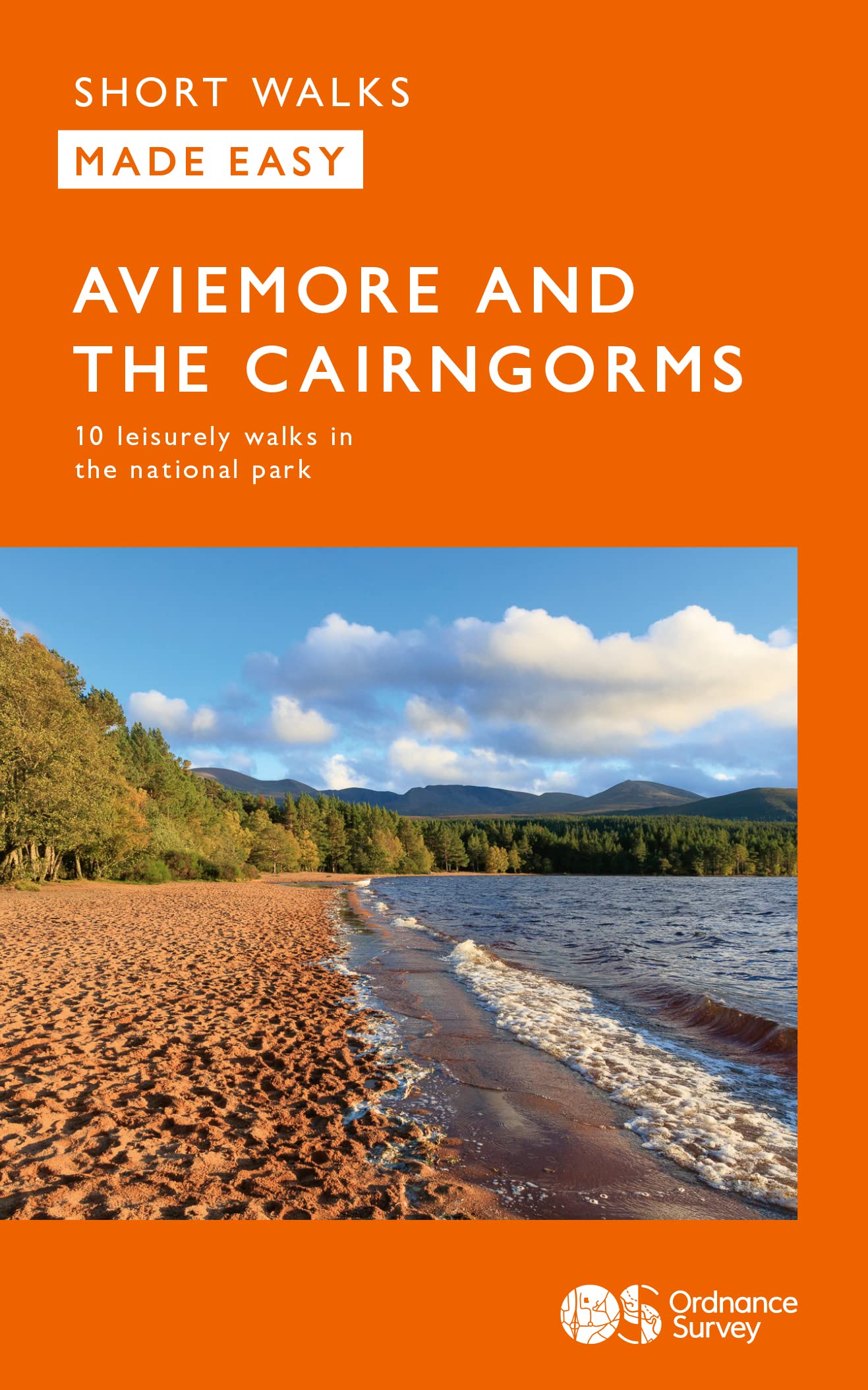
- Wandelgids Aviemore and the Cairngorms | Ordnance Survey
- Short Walks Made Easy Guide to Aviemore and the Cairngorms, featuring 10 outstanding walks designed for a range of abilities in the Cairngorms National Park. Focusing on: • 10 easy going selected walks • Accessible routes • Stunning scenery in quieter areas • Easy parking and public transport • Suitable for dogs • The stories behind each walk •... Read more

Stanfords
United Kingdom
United Kingdom
- Lochnagar, Glen Muick & Glen Clova - Ballater & Balmoral OS Explorer Active Map OL53(waterproof)
- Lochnagar, Glen Muick and Glen Clova area of the Cairngorms National Park on a detailed topographic and GPS compatible map OL53, waterproof version, from the Ordnance Survey’s 1:25,000 Explorer series. Coverage includes part of the Deeside and Lochnagar National Scenic Area, 11 Munro peaks including Broad Cairn, Mayar, and Tom Buidhe, Glen... Read more
- Also available from:
- The Book Depository, United Kingdom

Maps

Stanfords
United Kingdom
United Kingdom
- Cairngorms Reference Map
- Cairngorm Mountains on an overview map from Colin Baxter presenting at 1:85,000 an area from Aviemore and Kincraig in the north-west to Braemar in the south-east. Bold colouring and relief shading shows the topography, with names of numerous peaks, glens, etc.The map indicates main paths in the mountains and facilities available in various... Read more
Stanfords
United Kingdom
United Kingdom
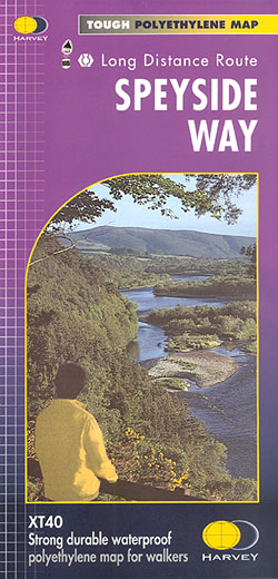
- Speyside Way Harvey National Trail XT40
- Speyside Way, a 123km / 77 miles trail between Buckie on the Moray coast and Aviemore in the Cairngorms National Park or alternatively to Tomintoul, presented at 1:40,000 on a light, waterproof and tear-resistant map from Harvey Map Services. The whole route is covered on five overlapping panels, with small street plans of Buckie, Charlestown... Read more
- Also available from:
- The Book Depository, United Kingdom
- De Zwerver, Netherlands

The Book Depository
United Kingdom
United Kingdom
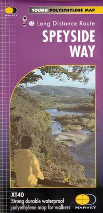
- Speyside Way
- Speyside Way, a 123km / 77 miles trail between Buckie on the Moray coast and Aviemore in the Cairngorms National Park or alternatively to Tomintoul, presented at 1:40,000 on a light, waterproof and tear-resistant map from Harvey Map Services. The whole route is covered on five overlapping panels, with small street plans of Buckie, Charlestown... Read more
De Zwerver
Netherlands
Netherlands
- Wandelkaart Speyside Walk (Schotland) | Harvey Maps
- Speyside Way, a 123km / 77 miles trail between Buckie on the Moray coast and Aviemore in the Cairngorms National Park or alternatively to Tomintoul, presented at 1:40,000 on a light, waterproof and tear-resistant map from Harvey Map Services. The whole route is covered on five overlapping panels, with small street plans of Buckie, Charlestown... Read more

Stanfords
United Kingdom
United Kingdom
- Rob Roy Way Harvey National Trail XT40
- Rob Roy Way, one of Scotland’s Great Trails from Drymen just north of Glasgow along Loch Tay to Pitlochry on the edge of the Cairngorms National Park presented at 1:40,000 on a light, waterproof and tear-resistant map from Harvey Map Services. The whole route, either 124km/77 miles or 151km/94 miles long depending on which variant one follows,... Read more
- Also available from:
- The Book Depository, United Kingdom
- De Zwerver, Netherlands

The Book Depository
United Kingdom
United Kingdom
- Rob Roy Way
- Mooie, duidelijke kaart van de Rob Roy Way in Schotland. Geplastificeerd met veel extra informatie en uitsnedes van de route. One of Scotland's Great Trails Rob Roy Way is a walk across part of the Southern Highlands of Scotland taking in some of the most beautiful countryside in the UK. Starting from Drymen it goes north east to finish in... Read more

De Zwerver
Netherlands
Netherlands
- Wandelkaart Rob Roy Way | Harvey Maps
- Mooie, duidelijke kaart van de Rob Roy Way in Schotland. Geplastificeerd met veel extra informatie en uitsnedes van de route. One of Scotland's Great Trails Rob Roy Way is a walk across part of the Southern Highlands of Scotland taking in some of the most beautiful countryside in the UK. Starting from Drymen it goes north east to finish in... Read more

Stanfords
United Kingdom
2019
United Kingdom
2019
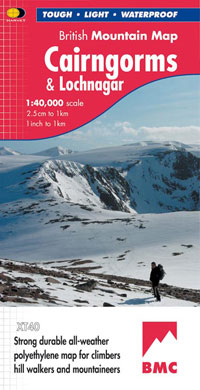
- Cairngorms & Lochnagar Harvey British Mountain Map XT40
- Waterproof mountain map of the Caingorms & Lochnagar from Harvey at 1:40,000, with a geological map of the region on the reverse, and advice on navigating the region safely.*MAIN MAP:* Topography is shown through clear altitude shading, spot heights, contours at 15m intervals, and index contours at 75m intervals. A variety of symbols are used... Read more
- Also available from:
- De Zwerver, Netherlands
De Zwerver
Netherlands
2019
Netherlands
2019
- Wandelkaart Cairngorms & Lochnagar | Harvey Maps
- Waterproof mountain map of the Caingorms & Lochnagar from Harvey at 1:40,000, with a geological map of the region on the reverse, and advice on navigating the region safely.MAIN MAP: Topography is shown through clear altitude shading, spot heights, contours at 15m intervals, and index contours at 75m intervals. A variety of symbols are used to... Read more
De Zwerver
Netherlands
2022
Netherlands
2022

Stanfords
United Kingdom
2022
United Kingdom
2022
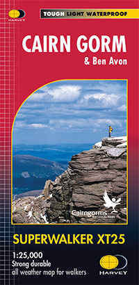
- Cairn Gorm & Ben Avon Harvey Superwalker XT25
- Cairn Gorm and Ben Avon area in the heart of the Scottish Highlands at 1:25,000 on a waterproof and tear-resistant map from Harvey Map Services in their Superwalker series. The peak of Cairn Gorm is on the eastern side of the map, with coverage extending north to Glanmore and the outskirts of Aviemore, west to Achlean and River Feshie and south... Read more
- Also available from:
- De Zwerver, Netherlands
De Zwerver
Netherlands
2022
Netherlands
2022
- Wandelkaart Cairn Gorm | Harvey Maps
- The Cairn Gorm area in the heart of the Scottish Highlands at 1:25,000 on a waterproof and tear-resistant map from Harvey Map Services in their Superwalker series. The peak of Cairn Gorm is on the eastern side of the map, with coverage extending north to Glanmore and the outskirts of Aviemore, west to Achlean and River Feshie and south to the... Read more