Colonsay
Description
Small island, one of the Inner Hebrides. It's rather flat. The interior is partly cultivated. The rugged coastline is dotted with white sandy beaches.
Links
Facts
Reports
Guides and maps
Lodging
Organisations
Tour operators
GPS
Other
Books

Stanfords
United Kingdom
United Kingdom
- Jura & Colonsay OS Landranger Map 61 (waterproof)
- Waterproof and tear-resistant OS Active version of map No. 61 from the Ordnance Survey’s Landranger series at 1:50,000, with contoured and GPS compatible topographic mapping plus tourist information.MOBILE DOWNLOADS: As well as the physical edition of the map, each Landranger title now includes a code for downloading after purchase its digital... Read more

Stanfords
United Kingdom
2017
United Kingdom
2017
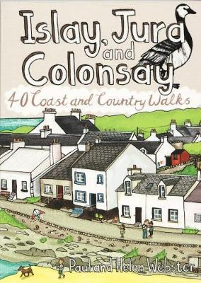
- Islay, Jura and Colonsay: 40 Coast and Country Walks
- Islay, Jura and Colonsay make up the southerly Hebridean island group and are famed for their outstanding wildlife, glorious sandy beaches, fascinating historical treasures, rugged hills and dramatic coastlines, and on Jura, but especially on Islay - legendary distilleries which produce distinctively peaty whisky. This book aims to help you get... Read more
- Also available from:
- The Book Depository, United Kingdom
- De Zwerver, Netherlands
De Zwerver
Netherlands
2017
Netherlands
2017
- Wandelgids Islay, Jura and Colonsay | Pocket Mountains
- 40 Coast and Country Walks Read more

Stanfords
United Kingdom
United Kingdom
- Isles of Islay, Jura and Colonsay - 8 Easy to Follow Walks
- Map/guide to Eight Easy to Follow Walks Read more
- Also available from:
- The Book Depository, United Kingdom

The Book Depository
United Kingdom
United Kingdom
- Isles of Islay, Jura and Colonsay
- Map/guide to Eight Easy to Follow Walks Read more
- Also available from:
- De Zwerver, Netherlands

Stanfords
United Kingdom
2015
United Kingdom
2015
- Colonsay & Oronsay OS Explorer Map 354 (paper)
- The islands of Colonsay and Oronsay on a detailed topographic and GPS compatible map No. 354, paper version, from the Ordnance Survey’s 1:25,000 Explorer series. MOBILE DOWNLOADS: this title and all the other OS Explorer maps include a code for downloading after purchase the digital version onto your smartphone or tablet for viewing on the OS... Read more
- Also available from:
- The Book Depository, United Kingdom
- De Zwerver, Netherlands
» Click to close

Stanfords
United Kingdom
United Kingdom
- Colonsay & Oronsay OS Explorer Active Map 354 (waterproof)
- The islands of Colonsay and Oronsay on a detailed topographic and GPS compatible map No. 354, waterproof version, from the Ordnance Survey’s 1:25,000 Explorer series. MOBILE DOWNLOADS: this title and all the other OS Explorer maps include a code for downloading after purchase the digital version onto your smartphone or tablet for viewing on the... Read more
- Also available from:
- The Book Depository, United Kingdom

Stanfords
United Kingdom
2016
United Kingdom
2016
- Jura & Colonsay OS Landranger Map 61 (paper)
- Paper version of map No. 61 from the Ordnance Survey’s Landranger series at 1:50,000, with contoured and GPS compatible topographic mapping plus tourist information.MOBILE DOWNLOADS: As well as the physical edition of the map, each Landranger title now includes a code for downloading after purchase its digital version onto your smartphone or... Read more
- Also available from:
- The Book Depository, United Kingdom
- De Zwerver, Netherlands
» Click to close

Stanfords
United Kingdom
2015
United Kingdom
2015
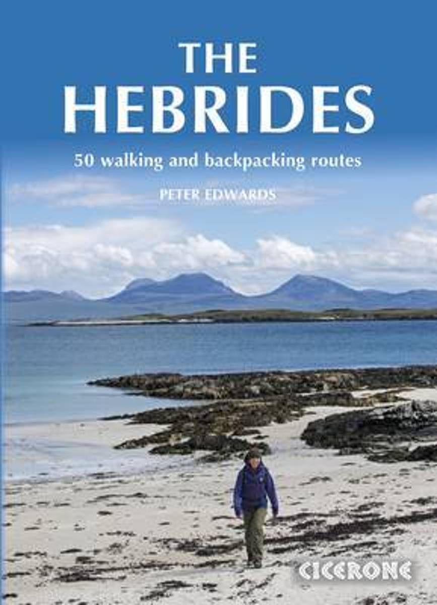
- Hebrides: 50 Walking and Backpacking Routes
- Inspirational guidebook to walking in Scotland`s Hebrides islands. 50 adventurous walks on well-known and remote islands; from Syke, Mull, Rum, the Uists and Barra, Ulva, Iona, Eigg and Muck and more besides. Most of the walks provide a full day for experienced walkers, with a few multi-day adventures as well as some shorter routes.The terrain... Read more
- Also available from:
- The Book Depository, United Kingdom
- Bol.com, Netherlands
- Bol.com, Belgium
- De Zwerver, Netherlands
Bol.com
Netherlands
2015
Netherlands
2015
- The Hebrides
- Inspirational guidebook to walking in the Hebrides, on the west coast of Scotland. 50 adventurous walks on well-known and remote islands; from Skye, Mull, Rum, the Uists and Barra, Ulva, Iona, Eigg and Muck and more besides. Most of the walks provide a full day for experienced walkers, with a few multi-day adventures as well as some shorter... Read more

Bol.com
Belgium
2015
Belgium
2015
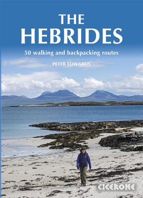
- The Hebrides
- Inspirational guidebook to walking in the Hebrides, on the west coast of Scotland. 50 adventurous walks on well-known and remote islands; from Skye, Mull, Rum, the Uists and Barra, Ulva, Iona, Eigg and Muck and more besides. Most of the walks provide a full day for experienced walkers, with a few multi-day adventures as well as some shorter... Read more
De Zwerver
Netherlands
2015
Netherlands
2015
- Wandelgids The Hebrides - De Hebriden Schotland | Cicerone
- Inspirational guidebook to 50 varied walking and backpacking routes in the Hebrides, featuring classics such as the Skye Cuillin and the Paps of Jura, but also many lesser-known routes on Jura, Scarba, Islay, Colonsay, Rum, Eigg, Canna, Muck, Coll, Tiree, Mull, Skye, Raasay, Harris, Lewis, Berneray, North Uist, South Uist, Barra and St Kilda. Read more

Bol.com
Netherlands
Netherlands
- The Tea Leaf Paradox
- Join the author and his old Dutch campervan 'Brian' on their quest to visit every brewery in Scotland. Settle down in the passenger seat as you discover the world of beer in the land of whisky! Our journey will take you all over Scotland: to Unst, Britain's most northerly island, to Islay, the spiritual home of Scotch whisky, and to Colonsay,... Read more
- Also available from:
- Bol.com, Belgium

Bol.com
Belgium
Belgium
- The Tea Leaf Paradox
- Join the author and his old Dutch campervan 'Brian' on their quest to visit every brewery in Scotland. Settle down in the passenger seat as you discover the world of beer in the land of whisky! Our journey will take you all over Scotland: to Unst, Britain's most northerly island, to Islay, the spiritual home of Scotch whisky, and to Colonsay,... Read more

Stanfords
United Kingdom
2019
United Kingdom
2019
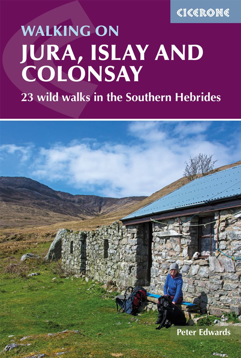
- Walking on Jura, Islay and Colonsay: 23 wild walks in the Southern Hebrides
- This guidebook presents a selection of 23 walking routes on the wild and beautiful southern islands of Scotland`s Inner Hebrides, with nine walks on Jura, one on neighbouring Scarba, seven on Islay and five on Colonsay, plus a spectacular 5-day trek along Jura`s dramatic west coast. The wildest of the southern Hebrides, the walking on Jura is... Read more
- Also available from:
- De Zwerver, Netherlands
De Zwerver
Netherlands
2019
Netherlands
2019
- Wandelgids Walking on Jura, Islay and Colonsay | Cicerone
- Guidebook to Jura, Scarba, Islay and Colonsay in the Hebrides, describing 22 walks plus a 5-day 89km trek along Jura's remote west coast. The routes range from 6.5 to 25km and cover rough - and often pathless - terrain suitable for fit, competent walkers. Even the coastal walks offer challenges. Read more
Maps

Stanfords
United Kingdom
United Kingdom
- 2800 Kintyre to Ardnamurchan Chart Pack - 2021 edition
- This edition consists of 11 extra chart sheets, twice the coverage of the previous edition, and incorporates all the latest official bathymetric surveys.Created in association with the Clyde Cruising Club for use alongside their sailing directions, coverage includes detail of this delightful area of Scotland and there is reference to the... Read more


