Devon
Description
County in southwestern England, next to Cornwall. The North Devon Coastline is very wild and offers dramatic walking. Take the South West Coast Path. The south coast is different but not less interesting. Just continue the South West Coast Path and once you leave Cornwall you enter Devon again. Two other assets for hikers are Dartmoor and Exmoor, vast expansions of wet moorland laying on a hard rockbed.
Trails in this region
Links
Facts
Reports
Guides and maps
Lodging
Organisations
Tour operators
GPS
Other
Books

Stanfords
United Kingdom
2019
United Kingdom
2019
- Cornwall Coast Path - Bude to Plymouth (South West Coast Path Part 2)
- Practical, complete hiking route guide, with maps and accommodation for the 288-mile footpath that runs around the entire coastline of Cornwall, from Bude to Plymouth; Part 2 of the South-West-Coast Path, a 630-mile National Trail from Minehead to Poole. Includes * 142 large-scale walking maps (3 1/8inches to 1 mile), 24 town plans, 21 stage... Read more

Stanfords
United Kingdom
2019
United Kingdom
2019
- Insight Guides Great Breaks Devon & Cornwall (Travel Guide with Free eBook)
- Explore the best of Devon and Cornwall with this indispensably practical Insight Great Breaks Guide. From making sure you don`t miss out on must-see attractions like the Eden Project, Exeter, Tresco Gardens, Dartmoor and Torquay, to discovering hidden gems, including Tintagel, the easy-to-follow, ready-made walking routes will save you time,... Read more

Stanfords
United Kingdom
2015
United Kingdom
2015
- Dartmoor Walking
- John Earle’s Cicerone guide to Walking on Dartmoor explores one of England’s favourite National Park walking destinations as well as its surrounding areas. Dartmoor has been referred to as one of the last great wildernesses in the country, where it is possible to get further away from civilisation than anywhere else. Its wild, lonely and remote... Read more

Stanfords
United Kingdom
United Kingdom
- DK Eyewitness Top 10 Cornwall and Devon
- The world`s bestselling pocket guidesWith golden sandy beaches, picturesque fishing villages, and legendary castles, Cornwall and Devon have long captured the imagination of all who visit.Make the most of your trip to England`s seaside paradise with DK Eyewitness Top 10. Planning is a breeze with our simple lists of ten, covering the very best... Read more

Stanfords
United Kingdom
2021
United Kingdom
2021
- DK Eyewitness Road Trips Great Britain
- With its idyllic market towns, romantic castle ruins and stunning natural landscapes, Great Britain is the perfect destination for a leisurely road trip. It`s yours to explore with Road Trips Great Britain, which contains 25 drives across the country, from the sweeping sandy beaches of Cornwall to the dramatic peaks of the Scottish... Read more

Stanfords
United Kingdom
United Kingdom
- Walks Along the East Jurassic Coast - Studland to Portland
- From the Publisher of the highly acclaimed Jurassic Coast Official Guide, Coastal Publishing Limited is a fast growing publisher with an expanding list of books of regional interest and national appeal. Walks Along the East Jurassic Coast and its companion Walks Along the West Jurassic Coast Are the first two books in a series of 11 walking... Read more


Stanfords
United Kingdom
United Kingdom
- The Great British Bucket List
- If you want to ski off a cliff or swim with sharks, stop reading now. This book is about achievable adventures that celebrate the best of Britain and Britishness. The 60 mini adventures are graded in difficulty from comically easy to mildly challenging, making them suitable for a wide range of ages and abilities. They include the most beautiful... Read more

Stanfords
United Kingdom
2021
United Kingdom
2021
- DK Eyewitness England`s South Coast
- Windswept cliffs, breathtaking beaches, and vibrant cities: welcome to the stunning south of England.Whether you want to relax on the sandy shores of Cornwall, wander around London`s famous museums or browse vintage shops in Brighton, your DK Eyewitness travel guide makes sure you experience all that this region has to offer.England`s South... Read more

Stanfords
United Kingdom
2013
United Kingdom
2013
- Wild Guide South West England: Hidden Places, Great Adventures and the Good Life
- This compendium of adventures features the best wild places to visit in the south west of England, covering Devon, Cornwall, Somerset and Dorset, including ideas for local food and accommodation. Explore hidden gems, from the swimming rivers, secret beaches and lost ruins of Cornwall and Somerset, to the ancient woods and meadows of Devon and... Read more

Stanfords
United Kingdom
United Kingdom
- Circular Walks in Central Devon - March 2011
- The Walking Guide for Mid Devon Read more

Stanfords
United Kingdom
United Kingdom
- Circular Walks in the South Hams: Exploring South Devon
- Exploring South Devon Read more
Stanfords
United Kingdom
2019
United Kingdom
2019
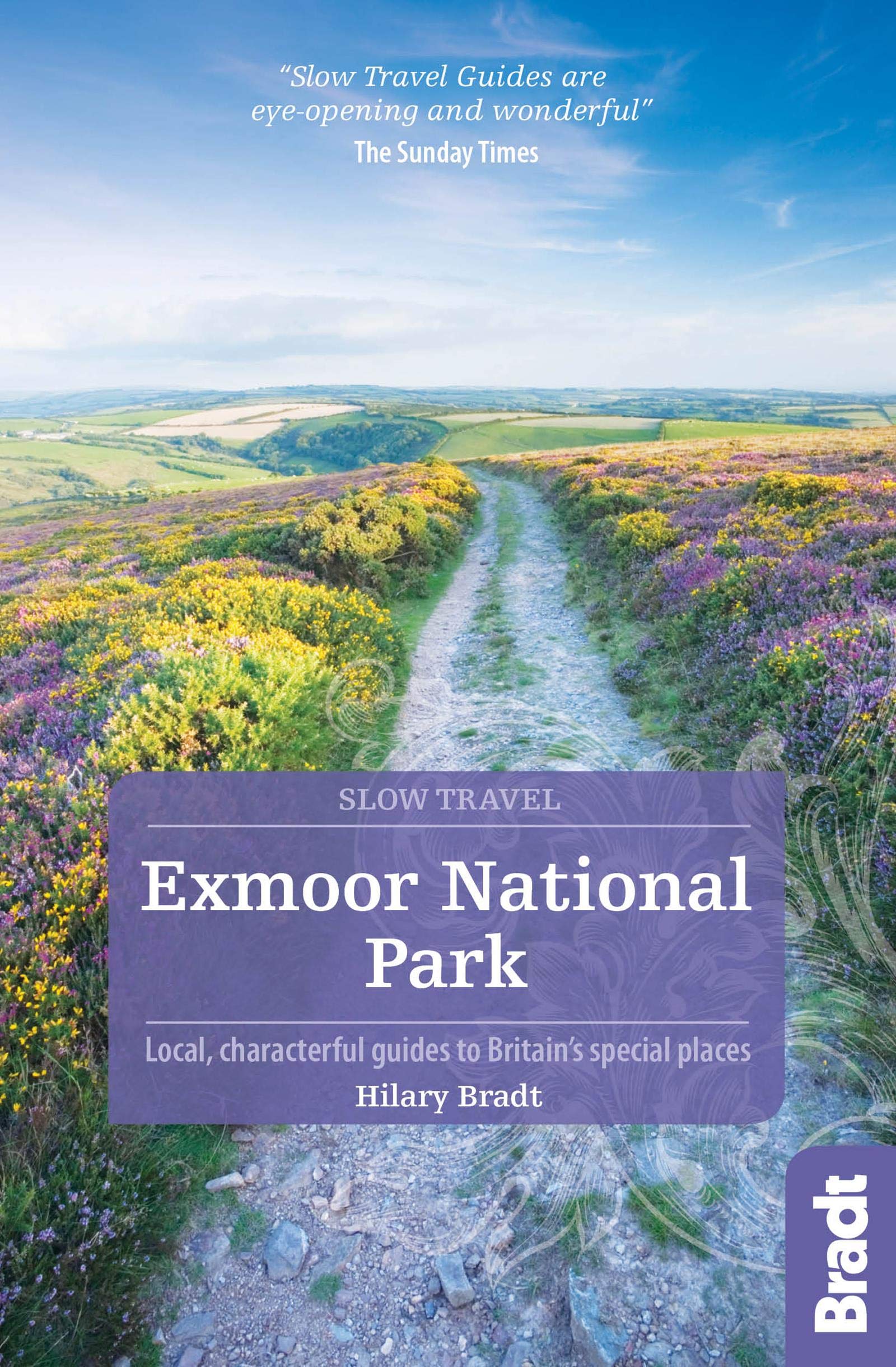
- Exmoor National Park (Slow Travel) Bradt Guide
- This new title in Bradt`s distinctive series of Slow travel guides to regions of Britain is the only general guide to focus exclusively on Exmoor, covering all of the national park plus towns and villages just outside the boundary. Written by expert resident author Hilary Bradt, coast and moorland, hiking, wildlife and birdwatching are all... Read more

Stanfords
United Kingdom
United Kingdom
- Town Walks in Devon
- Town Walks in Devon is a collection of 15 circular walks that take you on journeys of exploration around some of Devon`s most beautiful towns. You will discover hidden backwaters and well-kept secrets as well as finding the better-known landmarks.The walk directions are interspersed with notes on the history of the area and buildings en route,... Read more
Maps

Stanfords
United Kingdom
United Kingdom
- North Devon Cycling Map 82
- The northern half of Devon at 1:100,000 on a handy size, 50x35cm, double-sided contoured map from Croydecycle, printed on waterproof and tear-resistant synthetic paper and showing National Cycle routes and numerous local facilities, including campsites, pubs, etc. Coverage extends along the northern coast from the Somerset border to Clovelly,... Read more

Stanfords
United Kingdom
United Kingdom
- Fort McMurray & Towns of Central and Northern Alberta
- Double-sided map presenting on separate panels indexed street plans of the towns in central and northern Alberta: Fort McMurray, Barrhead, Beaumont, Bonnyville, Cold Lake North & South with Medley, Devon, Edson, Gibbons, Grande Prairie, High Level Hinton, Jasper, Leduc, Morinville, Peace River, Redwater, Slave Lake, St. Paul, Spruce Grove... Read more

Stanfords
United Kingdom
United Kingdom
- South Devon Cycling Map 83
- The southern half of Devon at 1:100,000 on a handy size, 50x35cm, double-sided contoured map from Croydecycle, printed on waterproof and tear-resistant synthetic paper and showing National Cycle routes and numerous local facilities, including campsites, pubs, etc. Coverage extends southwards from Exeter and Okehampton. Contours are at 30m... Read more

Stanfords
United Kingdom
United Kingdom
- Edmonton & Northern Alberta Street Atlas
- Street atlas of Edmonton and northern Alberta, including Beaumont, Bonnyville, Camrose, Cold Lake, Devon, Drayton Valley, Edson, Fort McMurray, Fort Saskatchewan, Grande Prairie, Hinton, Jasper, Lacombe, Leduc, Lloydminster, Morinville, Nisku, Peace River, Ponoka, Red Deer, Rocky Mountain House, St. Albert, St. Paul, Sherwood Park, Slave Lake,... Read more

Stanfords
United Kingdom
United Kingdom
- Exmoor & Taunton Cycling Map 84
- Exmoor and Taunton area of Devon and Somerset at 1:100,000 on a handy size, 50x35cm, double-sided contoured map from Croydecycle, printed on waterproof and tear-resistant synthetic paper and showing National Cycle routes and numerous local facilities, including campsites, pubs, etc. Coverage extends from Combe Martin, Barnstaple and South... Read more

Stanfords
United Kingdom
United Kingdom
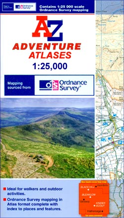
- Exmoor A-Z Adventure Atlas
- Exmoor at 1:25,000 in a series of handy A5 size Adventure Atlases from Geographers` A-Z Map Company with cartography from the Ordnance Survey’s Explorer series. Coverage includes the South West Coast path between Minehead and Combe Martin Bay, Two Moors Way, Tarka Train, Dulverton, Brendon Hills, etc.To see other titles in this series please... Read more

Stanfords
United Kingdom
United Kingdom
- 2300 Dorset and Devon Coasts Chart Pack - 2015 edition SUPERCEDED
- The Needles to Start Point including Poole Harbour A pack of 9 charts for the Dorset and Devon Coasts. The pack includes: 2300.1 Isle of Wight to Start Point 1:400,000 2300.2 Western Approaches to the Solent 1:60,000 2300.3 Poole Harbour to Bill of Portland 1:75,000 2300.4 Lyme Bay 1:175,000 2300.5 Poole Harbour 1:20,000 2300.6 River Exe... Read more

Stanfords
United Kingdom
United Kingdom
- Two Moors Way Harvey National Trail XT40
- Two Moors Way, a 150km / 93 mile long-distance trail between Lynmouth on the north coast of Devon and Ivybridge near Plymouth, crossing Exmoor and Dartmoor National Parks, presented at 1:40,000 on a light, waterproof and tear-resistant map from Harvey Map Services. The route is shown on six panels.Maps in the Harvey’s series covering Great... Read more

Stanfords
United Kingdom
United Kingdom
- East Devon - Exeter Cycling Map 85
- East Devon at 1:100,000 on a handy size, 50x35cm, double-sided contoured map from Croydecycle, printed on waterproof and tear-resistant synthetic paper and showing National Cycle routes and numerous local facilities, including campsites, pubs, etc. Coverage extends westwards just beyond Newton Abbot, Bovey Tracy and Crediton, north to Tiverton,... Read more

Stanfords
United Kingdom
United Kingdom
- Tour de Manche Vol. 2: Northern Brittany - Devon/Dorset - Channel Is. Cycle Route (580km)
- Tour de Manche Vol.2: de St-Malo à St-Malo cycling guide covering a 580km long-distance cross-Channel route from St-Malo along the northern coast of Brittany to Roscoff, across the Channel to Plymouth, inland around Dartmoor National Park to Exeter and westwards to Weymouth, and from there back to St-Malo via Guernsey and Jersey.Within France... Read more

Stanfords
United Kingdom
United Kingdom
- England Coast Path Adventure Map - Minehead to Brean Down
- The A-Z Adventure Series of maps combines the best of OS and A-Z, creating the perfect companion for walkers, off-road cyclists, horse riders and anyone wishing to explore the great outdoors.This official Minehead to Brean Down Adventure Map covers a 58 mile (93km) section of the England Coast Path, a new National Trail around England`s coast.... Read more

Stanfords
United Kingdom
United Kingdom
- Cornwall East - Bodmin/St Austell to West Devon Cycling Map 81
- The eastern half of Cornwall at 1:100,000 on a handy size, 50x35cm, double-sided contoured map from Croydecycle, printed on waterproof and tear-resistant synthetic paper and showing National Cycle routes and numerous local facilities, including campsites, pubs, etc. Coverage extends from St Austell, Wadebridge and Port Isaac to Plymouth and... Read more
Stanfords
United Kingdom
2015
United Kingdom
2015
- South West Coast Path 5 - Dorset A-Z Adventure Atlas
- South West Coast Path 5 - Dorset Adventure Atlas at 1:25,000 in a series of handy A5 size Adventure Atlases from Geographers` A-Z Map Company with cartography from the Ordnance Survey’s Explorer series. The guide covers the 138 km / 86 mile section of the SWCP National Trail between Lyme Regis and Poole and includes a route planner indicating... Read more

Stanfords
United Kingdom
2010
United Kingdom
2010
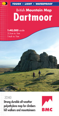
- Dartmoor Harvey British Mountain Map XT40
- Double-sided waterproof mountain map of Dartmoor from Harvey at 1:40,000, with a geological map of the region on the reverse, and advice on navigating the region safely.*MAIN MAP:* Topography is shown through clear altitude shading, spot heights, contours at 15m intervals, and index contours at 75m intervals. A variety of symbols are used to... Read more
- Also available from:
- The Book Depository, United Kingdom
- De Zwerver, Netherlands

The Book Depository
United Kingdom
2010
United Kingdom
2010
- Dartmoor
- Double-sided waterproof mountain map of Dartmoor from Harvey at 1:40,000, with a geological map of the region on the reverse, and advice on navigating the region safely.MAIN MAP: Topography is shown through clear altitude shading, spot heights, contours at 15m intervals, and index contours at 75m intervals. A variety of symbols are used to show... Read more
De Zwerver
Netherlands
2010
Netherlands
2010
- Wandelkaart Dartmoor | Harvey Maps
- Double-sided waterproof mountain map of Dartmoor from Harvey at 1:40,000, with a geological map of the region on the reverse, and advice on navigating the region safely.MAIN MAP: Topography is shown through clear altitude shading, spot heights, contours at 15m intervals, and index contours at 75m intervals. A variety of symbols are used to show... Read more
More maps…