
Norfolk
Description
County in eastern England. The pretty North Sea coastline in the north can be walked via the Norfolk Coast Path, a National Trail. More to the south, the coastline has fine beaches and many holiday resorts. Inland Norfolk is flat.
Trails in this region
Links
Facts
Reports
Guides and maps
Lodging
Organisations
Tour operators
GPS
Other
Books

Stanfords
United Kingdom
United Kingdom
- DK Eyewitness Great Britain
- Discover Great Britain - a beautiful land rich in culture and history. Whether you want to go wild swimming in the Fairy Pools of Skye, take a windswept walk along the Jurassic Coast, or scale the heights of Snowdonia, your DK Eyewitness travel guide makes sure you experience all that Great Britain has to offer.From the jagged peaks of the... Read more

Stanfords
United Kingdom
2021
United Kingdom
2021
- DK Eyewitness Road Trips Great Britain
- With its idyllic market towns, romantic castle ruins and stunning natural landscapes, Great Britain is the perfect destination for a leisurely road trip. It`s yours to explore with Road Trips Great Britain, which contains 25 drives across the country, from the sweeping sandy beaches of Cornwall to the dramatic peaks of the Scottish... Read more
Stanfords
United Kingdom
United Kingdom
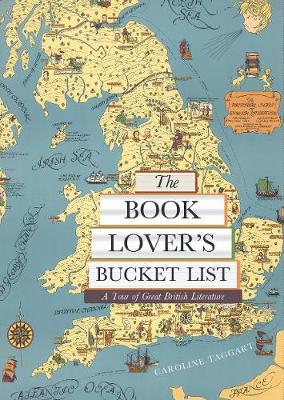
- The Book Lover`s Bucket List: A Tour of Great British Literature
- Exploring the gardens, monuments, museums, and churches with walks both urban and rural, from the Bronte parsonage in Haworth to Zadie Smith`s North London and Shakespeare`s Stratford, `The Book Lover`s Bucket List` takes you through some 100 wonderfully described literary sites and landscapes, complete with colour destination photographs and... Read more

Stanfords
United Kingdom
United Kingdom
- Norfolk - Pub Walks
- The twenty circular walks in this book explore Norfolk`s varied countryside. Includes routes at Brancaster Staithe, Mundford, Ranworth, North Elmhham and Blickling. With maps and photographs. Read more

Stanfords
United Kingdom
United Kingdom
- The Icknield Way Path: A Walkers` Guide
- The Icknield Way Path – 110 miles along the ‘oldest road in Britain’ linking the Ridgeway Path to the Peddars Way, following footpaths close to the ancient route and including a link into Thetford. Written walk directions are accompanied by sketch map extracts from Landranger OS maps customised with additional information, useful for walkers.... Read more

Stanfords
United Kingdom
United Kingdom
- Norfolk & Suffolk - Walks into History
- This is a collection of walks exploring different aspects of the area`s historical past. It includes routes at Sutton Hoo, Orford Castle, Lavenham, the Norfolk Broads, Hunstanton and Holkhham Hall. Read more

Stanfords
United Kingdom
United Kingdom
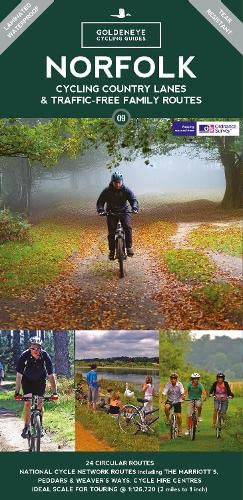
- North West Norfolk, King’s Lynn & Fakenham OS Landranger Active Map 132 (waterproof)
- Waterproof and tear-resistant OS Active version of map No. 132 from the Ordnance Survey’s Landranger series at 1:50,000, with contoured and GPS compatible topographic mapping plus tourist information.MOBILE DOWNLOADS: As well as the physical edition of the map, each Landranger title now includes a code for downloading after purchase its digital... Read more

Stanfords
United Kingdom
2021
United Kingdom
2021
- North West Norfolk, King’s Lynn & Fakenham OS Landranger Map 132 (paper)
- Paper version of map No. 132 from the Ordnance Survey’s Landranger series at 1:50,000, with contoured and GPS compatible topographic mapping plus tourist information.MOBILE DOWNLOADS: As well as the physical edition of the map, each Landranger title now includes a code for downloading after purchase its digital version onto your smartphone or... Read more
- Also available from:
- The Book Depository, United Kingdom
- De Zwerver, Netherlands


De Zwerver
Netherlands
2021
Netherlands
2021

Stanfords
United Kingdom
2021
United Kingdom
2021
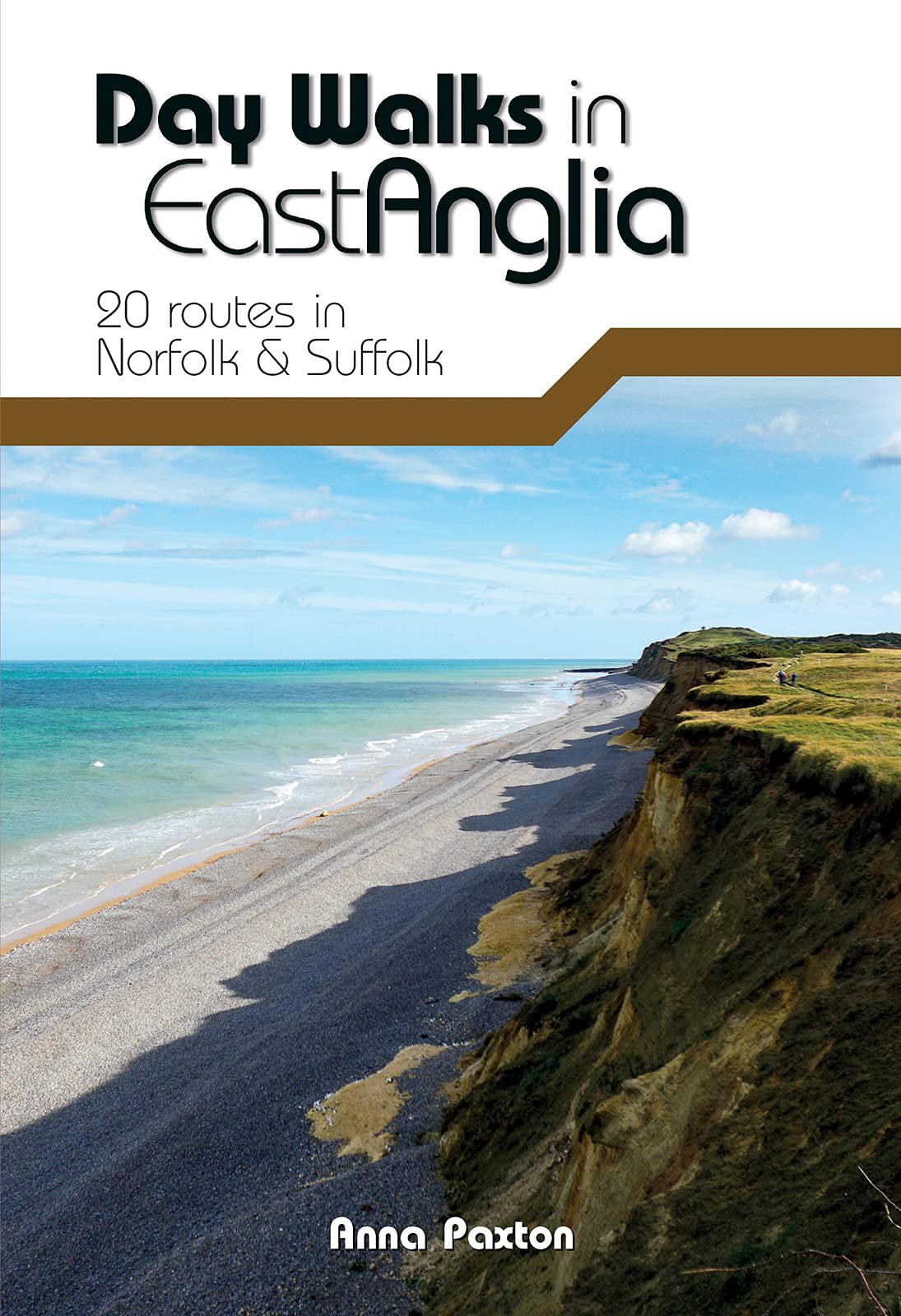
- Day Walks in East Anglia: 20 routes in Norfolk & Suffolk
- Day Walks in East Anglia features 20 routes between 5.7 and 13.9 miles (9.2km and 22.4km) in length, suitable for hillwalkers of all abilities. Researched and written by outdoor adventure expert Anna Paxton, this book covers walks around the must-see sites of East Anglia, including The Broads and Norfolk Coast Path, and takes you to... Read more
- Also available from:
- The Book Depository, United Kingdom
- De Zwerver, Netherlands

The Book Depository
United Kingdom
2021
United Kingdom
2021
- Day Walks in East Anglia
- 20 routes in Norfolk & Suffolk Read more
De Zwerver
Netherlands
2021
Netherlands
2021
- Wandelgids Day Walks East Anglia | Vertebrate Publishing
- Day Walks in East Anglia features 20 routes between 5.7 and 13.9 miles (9.2km and 22.4km) in length, suitable for hillwalkers of all abilities. Researched and written by outdoor adventure expert Anna Paxton, this book covers walks around the must-see sites of East Anglia, including The Broads and Norfolk Coast Path, and takes you to... Read more

- Also available from:
- De Zwerver, Netherlands

Stanfords
United Kingdom
United Kingdom
- Norfolk Coast West - King`s Lynn & Hunstanton OS Explorer Active Map 250 (waterproof)
- Norfolk Coast West, King`s Lynn and Hunstanton area on a detailed topographic and GPS compatible map No. 250, waterproof version, from the Ordnance Survey’s 1:25,000 Explorer series. MOBILE DOWNLOADS: this title and all the other OS Explorer maps include a code for downloading after purchase the digital version onto your smartphone or tablet... Read more
- Also available from:
- The Book Depository, United Kingdom


Stanfords
United Kingdom
United Kingdom
- Norfolk Coast East - Cromer & North Walsham OS Explorer Active Map 252 (waterproof)
- Norfolk Coast East, Cromer and North Walsham area on a detailed topographic and GPS compatible map No. 252, waterproof version, from the Ordnance Survey’s 1:25,000 Explorer series. MOBILE DOWNLOADS: this title and all the other OS Explorer maps include a code for downloading after purchase the digital version onto your smartphone or tablet for... Read more
- Also available from:
- The Book Depository, United Kingdom


Stanfords
United Kingdom
United Kingdom
- Thetford, Diss, Breckland & Wymondham OS Landranger Active Map 144 (waterproof)
- Norfolk around Thetford, Diss, Breckland and Wymondham, including the southern part of the Peddars Wat and Norfolk Coast Path long-distance trail, on a waterproof and tear-resistant OS Active version of map No. 144 from the Ordnance Survey’s Landranger series at 1:50,000, with contoured and GPS compatible topographic mapping plus tourist... Read more
- Also available from:
- The Book Depository, United Kingdom


Stanfords
United Kingdom
United Kingdom
- Guide to Norfolk Pub Walks
- Discover Norfolk`s beautiful countryside with this guide to some of the best walks in the county. The 20 circular routes vary in length from 2 to 6 miles and are centred on a broad variety of pubs, all recommended for their good food and warm welcome. Explore miles of unspoilt golden sand along the North Norfolk Heritage Coast around... Read more
- Also available from:
- The Book Depository, United Kingdom

The Book Depository
United Kingdom
United Kingdom
- Guide to Norfolk Pub Walks
- Discover Norfolk`s beautiful countryside with this guide to some of the best walks in the county. The 20 circular routes vary in length from 2 to 6 miles and are centred on a broad variety of pubs, all recommended for their good food and warm welcome. Explore miles of unspoilt golden sand along the North Norfolk Heritage Coast around... Read more
More books…

Maps

Stanfords
United Kingdom
United Kingdom
- North West Norfolk 1824-1838
- Map No. 132, North West Norfolk 1824-1838, in the Cassini Historical Series of old Ordnance Survey mapping of England and Wales at 1:50,000 in a format designed to offer a convenient comparison with the present day coverage from the OS, and most locations in three different editions. Old historical maps have been combined so that the sheet... Read more
Stanfords
United Kingdom
United Kingdom
- North East Norfolk 1838
- Map No. 133, North East Norfolk 1838, in the Cassini Historical Series of old Ordnance Survey mapping of England and Wales at 1:50,000 in a format designed to offer a convenient comparison with the present day coverage from the OS, and most locations in three different editions. Old historical maps have been combined so that the sheet lines... Read more
Stanfords
United Kingdom
United Kingdom
- North West Norfolk 1921-1922
- Map No. 132, North West Norfolk 1921-1922, in the Cassini Historical Series of old Ordnance Survey mapping of England and Wales at 1:50,000 in a format designed to offer a convenient comparison with the present day coverage from the OS, and most locations in three different editions. Old historical maps have been combined so that the sheet... Read more
Stanfords
United Kingdom
United Kingdom
- North East Norfolk 1921-1922
- Map No. 133, North East Norfolk 1921-1922, in the Cassini Historical Series of old Ordnance Survey mapping of England and Wales at 1:50,000 in a format designed to offer a convenient comparison with the present day coverage from the OS, and most locations in three different editions. Old historical maps have been combined so that the sheet... Read more
Stanfords
United Kingdom
United Kingdom
- North West Norfolk 1901-1902
- Map No. 132, North West Norfolk 1901-1902, in the Cassini Historical Series of old Ordnance Survey mapping of England and Wales at 1:50,000 in a format designed to offer a convenient comparison with the present day coverage from the OS, and most locations in three different editions. Old historical maps have been combined so that the sheet... Read more
Stanfords
United Kingdom
United Kingdom
- North East Norfolk 1901-1902
- Map No. 133, North East Norfolk 1901-1902, in the Cassini Historical Series of old Ordnance Survey mapping of England and Wales at 1:50,000 in a format designed to offer a convenient comparison with the present day coverage from the OS, and most locations in three different editions. Old historical maps have been combined so that the sheet... Read more
Stanfords
United Kingdom
United Kingdom
- North West Norfolk 1824-1922 (3-map set)
- Map No. 132, North West Norfolk 1824-1922 (3-map set), in the Cassini Historical Series of old Ordnance Survey mapping of England and Wales at 1:50,000 in a format designed to offer a convenient comparison with the present day coverage from the OS, and most locations in three different editions. Old historical maps have been combined so that... Read more
Stanfords
United Kingdom
United Kingdom
- North East Norfolk 1838-1922 (3-map set)
- Map No. 133, North East Norfolk 1838-1922 (3-map set), in the Cassini Historical Series of old Ordnance Survey mapping of England and Wales at 1:50,000 in a format designed to offer a convenient comparison with the present day coverage from the OS, and most locations in three different editions. Old historical maps have been combined so that... Read more

The Book Depository
United Kingdom
United Kingdom
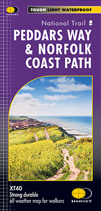
- Peddars Way & Norfolk Coast Path
- Detailed 1:40,000 scale maps of English and Welsh National trails and Scottish Great Trails”A great companion to a National Trail. Clear mapping and concise information enhance enjoyment of the journey.” Malcolm Hodgson, North York Moors NPA- The detail you need for sure navigation- Clear 1:40,000 scale mapping with full legend- Full legend-... Read more
- Also available from:
- De Zwerver, Netherlands
De Zwerver
Netherlands
Netherlands
- Wandelkaart Peddars Way & Norfolk Coast Path | Harvey Maps
- Detailed 1:40,000 scale maps of English and Welsh National trails and Scottish Great Trails”A great companion to a National Trail. Clear mapping and concise information enhance enjoyment of the journey.” Malcolm Hodgson, North York Moors NPA- The detail you need for sure navigation- Clear 1:40,000 scale mapping with full legend- Full legend-... Read more
De Zwerver
Netherlands
2023
Netherlands
2023