Orkney
Description
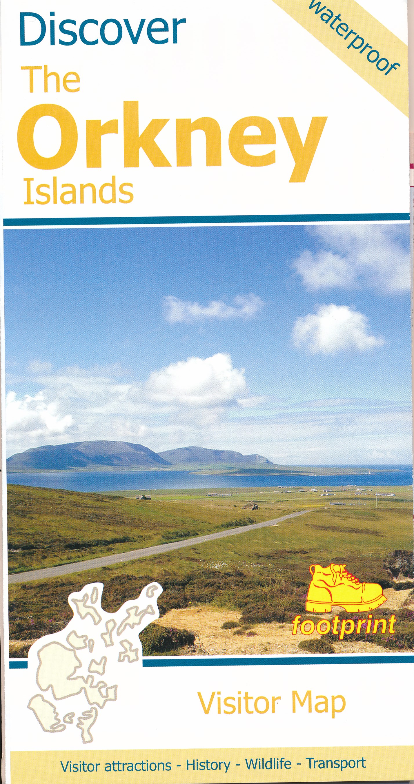
Group of islands off Scotland's north coast, attractive combination of rural life and the wild ocean. Rich birdlife and spectacular rugged coastline. Well known is The Old Man of Hoy, a 137 m high vertical sea stack. There are no long distance paths set out on the island, but many shorter walks can be made.
Links
Facts
Reports
Guides and maps
Lodging
Organisations
Tour operators
GPS
Other
Books


Stanfords
United Kingdom
United Kingdom
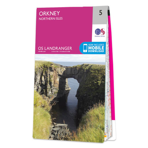
- Orkney: Northern Isles OS Landranger Active Map 5 (waterproof)
- Waterproof and tear-resistant OS Active version of map No. 5 from the Ordnance Survey’s Landranger series at 1:50,000, with contoured and GPS compatible topographic mapping plus tourist information.MOBILE DOWNLOADS: As well as the physical edition of the map, each Landranger title now includes a code for downloading after purchase its digital... Read more

Stanfords
United Kingdom
United Kingdom
- Orkney: Southern Isles OS Landranger Active Map 7 (waterproof)
- Waterproof and tear-resistant OS Active version of map No. 7 from the Ordnance Survey’s Landranger series at 1:50,000, with contoured and GPS compatible topographic mapping plus tourist information.MOBILE DOWNLOADS: As well as the physical edition of the map, each Landranger title now includes a code for downloading after purchase its digital... Read more

Stanfords
United Kingdom
2022
United Kingdom
2022
- Orkney: Northern Isles OS Landranger Map 5 (paper)
- Paper version of map No. 5 from the Ordnance Survey’s Landranger series at 1:50,000, with contoured and GPS compatible topographic mapping plus tourist information.MOBILE DOWNLOADS: As well as the physical edition of the map, each Landranger title now includes a code for downloading after purchase its digital version onto your smartphone or... Read more
- Also available from:
- The Book Depository, United Kingdom
- De Zwerver, Netherlands

De Zwerver
Netherlands
2022
Netherlands
2022

Stanfords
United Kingdom
2015
United Kingdom
2015
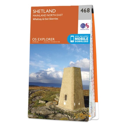
- Shetland: Mainland North East - Whalsay & Out Skerries OS Explorer Map 468 (paper)
- Shetland: north-east Mainland with the islands of Whalsay and Out Skerries, and the nearby smaller islands on a detailed topographic and GPS compatible map No. 468, paper version, from the Ordnance Survey’s 1:25,000 Explorer series.MOBILE DOWNLOADS: this title and all the other OS Explorer maps include a code for downloading after purchase the... Read more
- Also available from:
- The Book Depository, United Kingdom
- De Zwerver, Netherlands

De Zwerver
Netherlands
2015
Netherlands
2015

Stanfords
United Kingdom
2015
United Kingdom
2015
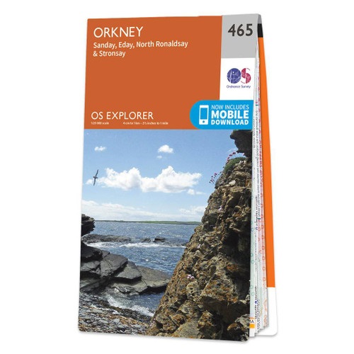
- Orkney: Sanday, Eday, North Ronaldsay & Stronsay OS Explorer 465 (paper)
- Orkney: the islands of Sanday, Eday, North Ronaldsay and Stronsay with the nearby smaller islands on a detailed topographic and GPS compatible map No. 465, paper version, from the Ordnance Survey’s 1:25,000 Explorer series.MOBILE DOWNLOADS: this title and all the other OS Explorer maps include a code for downloading after purchase the digital... Read more
- Also available from:
- The Book Depository, United Kingdom
- De Zwerver, Netherlands

De Zwerver
Netherlands
2015
Netherlands
2015

Stanfords
United Kingdom
2016
United Kingdom
2016
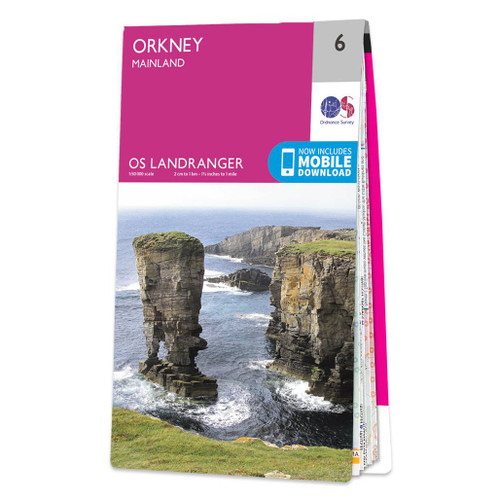
- Orkney - Mainland OS Landranger 6
- Paper version of map No. 6 from the Ordnance Survey’s Landranger series at 1:50,000, with contoured and GPS compatible topographic mapping plus tourist information.MOBILE DOWNLOADS: As well as the physical edition of the map, each Landranger title now includes a code for downloading after purchase its digital version onto your smartphone or... Read more
- Also available from:
- The Book Depository, United Kingdom
- De Zwerver, Netherlands

De Zwerver
Netherlands
2016
Netherlands
2016

Stanfords
United Kingdom
2015
United Kingdom
2015
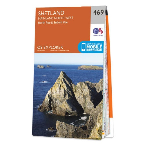
- Shetland: Mainland North West - North Roe & Sullom Voe OS Explorer Map 469 (paper)
- Shetland: north-west Mainland with North Roe, Sullom Voe, and the nearby smaller islands on a detailed topographic and GPS compatible map No. 469, paper version, from the Ordnance Survey’s 1:25,000 Explorer series. MOBILE DOWNLOADS: this title and all the other OS Explorer maps include a code for downloading after purchase the digital version... Read more
- Also available from:
- The Book Depository, United Kingdom
- De Zwerver, Netherlands

De Zwerver
Netherlands
2015
Netherlands
2015

Stanfords
United Kingdom
2015
United Kingdom
2015
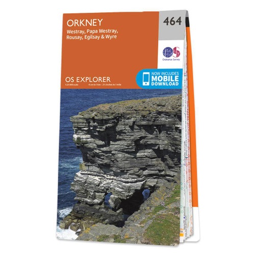
- Orkney: Westray, Papa Westray, Rousay, Egilsay & Wyre OS Explorer Map 464 (paper)
- Orkney: the islands of Westray, Papa Westray, Rousay, Egilsay and Wyre with the nearby smaller islands on a detailed topographic and GPS compatible map No. 464, paper version, from the Ordnance Survey’s 1:25,000 Explorer series.MOBILE DOWNLOADS: this title and all the other OS Explorer maps include a code for downloading after purchase the... Read more
- Also available from:
- The Book Depository, United Kingdom
- De Zwerver, Netherlands


Stanfords
United Kingdom
2016
United Kingdom
2016
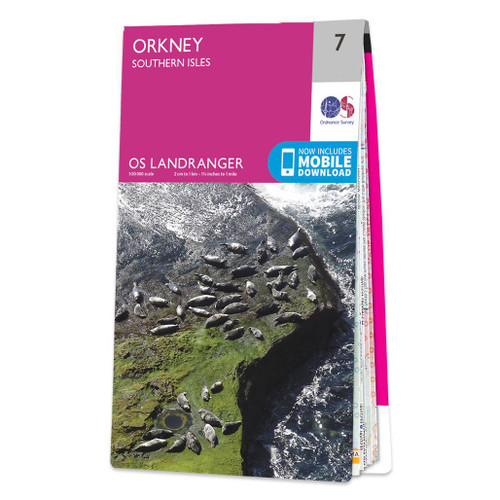
- Orkney: Southern Isles OS Landranger Map 7 (paper)
- Paper version of map No. 7 from the Ordnance Survey’s Landranger series at 1:50,000, with contoured and GPS compatible topographic mapping plus tourist information.MOBILE DOWNLOADS: As well as the physical edition of the map, each Landranger title now includes a code for downloading after purchase its digital version onto your smartphone or... Read more
- Also available from:
- The Book Depository, United Kingdom
- De Zwerver, Netherlands

De Zwerver
Netherlands
2016
Netherlands
2016

Stanfords
United Kingdom
2016
United Kingdom
2016
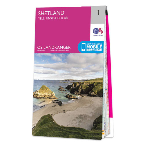
- Shetland: Yell, Unst and Fetlar OS Landranger Map 1 (paper)
- Paper version of map No. 1 from the Ordnance Survey’s Landranger series at 1:50,000, with contoured and GPS compatible topographic mapping plus tourist information.MOBILE DOWNLOADS: As well as the physical edition of the map, each Landranger title now includes a code for downloading after purchase its digital version onto your smartphone or... Read more
- Also available from:
- The Book Depository, United Kingdom
- De Zwerver, Netherlands

De Zwerver
Netherlands
2016
Netherlands
2016

Stanfords
United Kingdom
2015
United Kingdom
2015
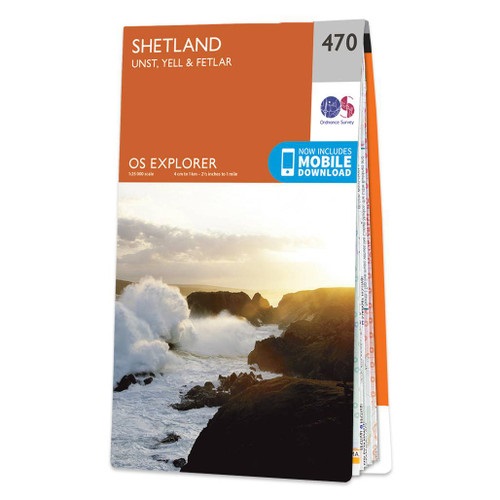
- Shetland: Unst, Yell & Fetlar OS Explorer Map 470 (paper)
- Shetland: Unst, Yell and Fetlar with the nearby smaller islands on a detailed topographic and GPS compatible map No. 470, paper version, from the Ordnance Survey’s 1:25,000 Explorer series. MOBILE DOWNLOADS: this title and all the other OS Explorer maps include a code for downloading after purchase the digital version onto your smartphone or... Read more
- Also available from:
- The Book Depository, United Kingdom
- De Zwerver, Netherlands

De Zwerver
Netherlands
2015
Netherlands
2015

Stanfords
United Kingdom
United Kingdom
- Orkney: Sanday, Eday, North Ronaldsay & Stronsay OS Explorer Active Map 465 (waterproof)
- Orkney: the islands of Sanday, Eday, North Ronaldsay and Stronsay with the nearby smaller islands on a detailed topographic and GPS compatible map No. 465, waterproof version, from the Ordnance Survey’s 1:25,000 Explorer series.MOBILE DOWNLOADS: this title and all the other OS Explorer maps include a code for downloading after purchase the... Read more
- Also available from:
- The Book Depository, United Kingdom


Stanfords
United Kingdom
2016
United Kingdom
2016
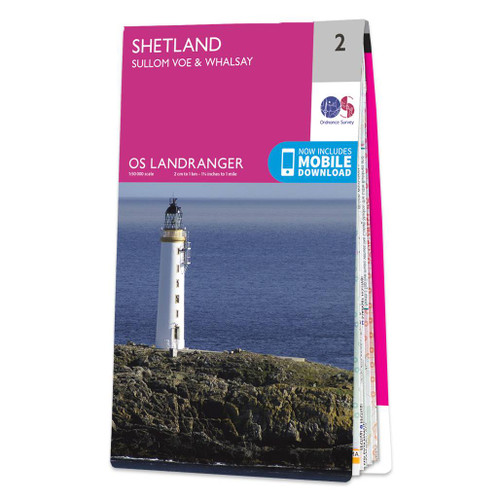
- Shetland: Sullom Voe and Whalsay OS Landranger Map 2 (paper)
- Paper version of map No. 2 from the Ordnance Survey’s Landranger series at 1:50,000, with contoured and GPS compatible topographic mapping plus tourist information.MOBILE DOWNLOADS: As well as the physical edition of the map, each Landranger title now includes a code for downloading after purchase its digital version onto your smartphone or... Read more
- Also available from:
- The Book Depository, United Kingdom
- De Zwerver, Netherlands

De Zwerver
Netherlands
2016
Netherlands
2016
Maps

Stanfords
United Kingdom
United Kingdom
- United Kingdom North Bedrock Geology BGS Wall Map
- A geological wall map at 1:625,000 from the British Geological Survey showing bedrock geology of the northern part of the United Kingdom, (size 112 x 110cm / 44” x 39.5” approx). Coverage extends south to Lancaster and Bridlington Bay (British National Grid line 460km north) and overlaps generously with the Southern UK sheet. Orkney Islands,... Read more

Stanfords
United Kingdom
United Kingdom
- United Kingdom North BGS Bedrock Geology Map
- A geological map at 1:625,000 from the British Geological Survey showing bedrock geology of the northern part of the United Kingdom. Coverage extends south to Lancaster and Bridlington Bay (British National Grid line 460km north) and overlaps generously with the Southern UK sheet. Orkney Islands, Shetland Islands, and the remote islands... Read more

Stanfords
United Kingdom
United Kingdom
- United Kingdom North BGS Bedrock Geology Pack
- A geological map at 1:625,000 from the British Geological Survey showing bedrock geology of the northern part of the United Kingdom, plus an 88-page explanatory booklet. Coverage extends south to Lancaster and Bridlington Bay (British National Grid line 460km north) and overlaps generously with the Southern UK sheet. Orkney Islands, Shetland... Read more
De Zwerver
Netherlands
Netherlands
More maps…