Pentland Hills
Description
Edinburgh's local hills, south-west of the city. You can make a peak walk in one or two days.
Links
Facts
Reports
Guides and maps
Lodging
Organisations
Tour operators
GPS
Other
Books

The Book Depository
United Kingdom
2018
United Kingdom
2018
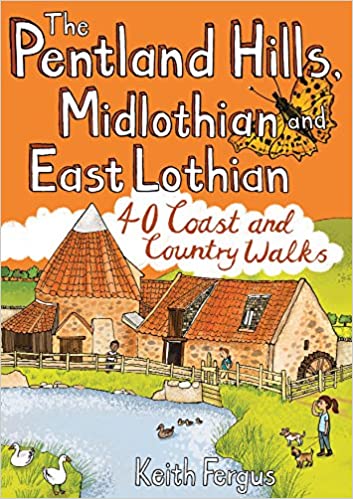
- The Pentland Hills, Midlothian and East Lothian
- 40 Coast and Country Walks Read more
- Also available from:
- De Zwerver, Netherlands
De Zwerver
Netherlands
2018
Netherlands
2018
- Wandelgids The Pentland Hills, Midlothian and East Lothian | Pocket Mountains
- 40 Coast and Country Walks Read more

The Book Depository
United Kingdom
2015
United Kingdom
2015
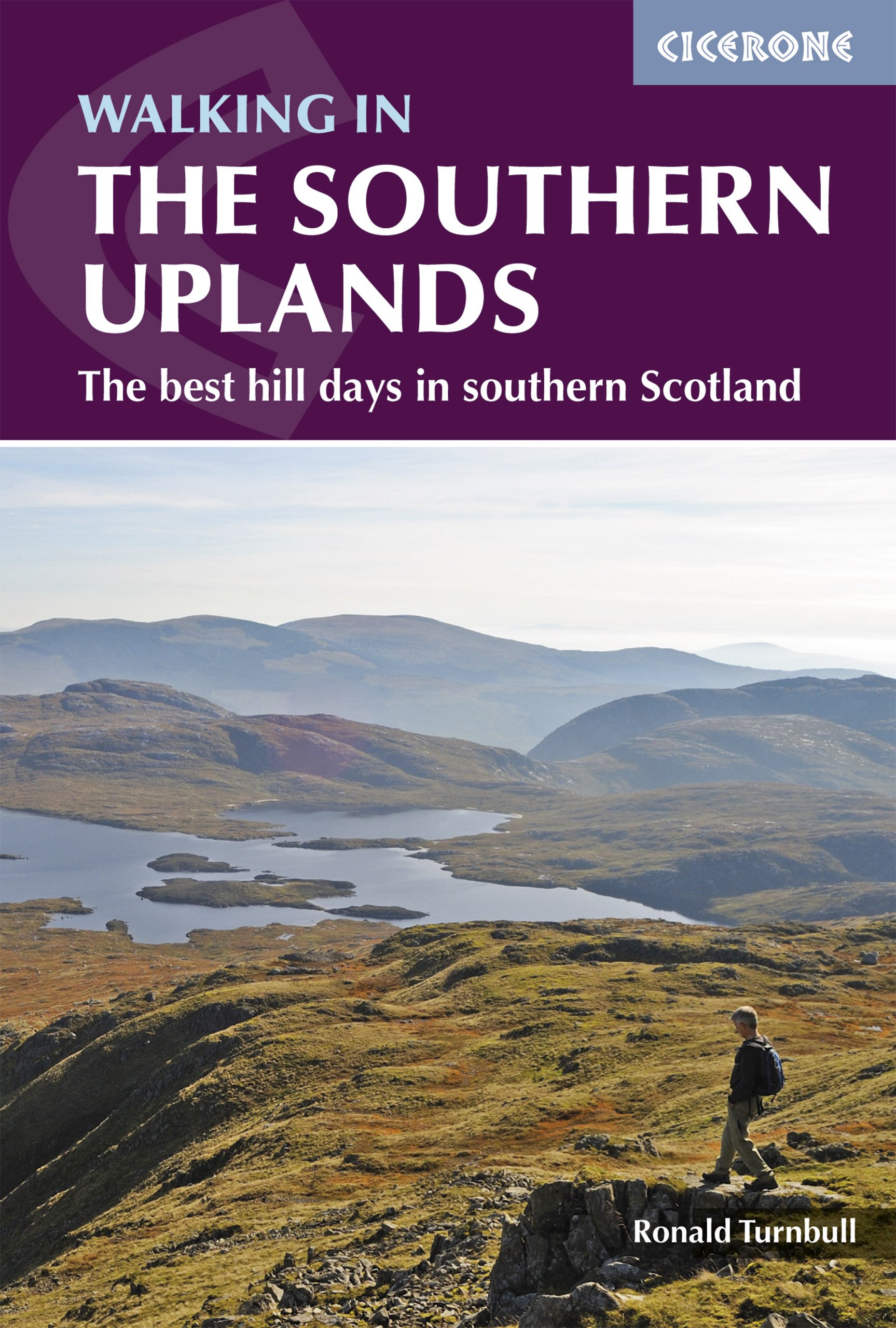
- Walking in the Southern Uplands
- 44 best hill days in southern Scotland Read more
- Also available from:
- De Zwerver, Netherlands
De Zwerver
Netherlands
2021
Netherlands
2021
- Wandelgids Walking in the Southern Uplands | Cicerone
- Guidebook to 44 varied day walks and over 100 summits in the Southern Uplands of Scotland, stretching south-west from Edinburgh to the English border, including the Galloway and Pentland Hills. Between 2 and 29km, there is something for all seasons and all abilities in remote and rugged hill country. Read more

Stanfords
United Kingdom
2015
United Kingdom
2015
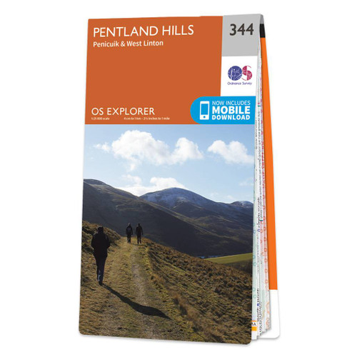
- Pentland Hills - Penicuik & West Linton OS Explorer Map 344 (paper)
- Pentland Hills, Penicuik and West Linton area on a detailed topographic and GPS compatible map No. 344, paper version, from the Ordnance Survey’s 1:25,000 Explorer series.MOBILE DOWNLOADS: this title and all the other OS Explorer maps include a code for downloading after purchase the digital version onto your smartphone or tablet for viewing on... Read more
- Also available from:
- The Book Depository, United Kingdom
- De Zwerver, Netherlands
» Click to close

Stanfords
United Kingdom
United Kingdom
- Pentland Hills - Penicuik & West Linton OS Explorer Active Map 344 (waterproof)
- Pentland Hills, Penicuik and West Linton area on a detailed topographic and GPS compatible map No. 344, waterproof version, from the Ordnance Survey’s 1:25,000 Explorer series. MOBILE DOWNLOADS: this title and all the other OS Explorer maps include a code for downloading after purchase the digital version onto your smartphone or tablet for... Read more
- Also available from:
- The Book Depository, United Kingdom

Stanfords
United Kingdom
2016
United Kingdom
2016
- Pentland Hills Walking
- This guidebook describes 30 circular walks in Scotland`s Pentland Hills, a range of low summits which extends between Edinburgh and Biggar in South Lanarkshire. Ranging from 3 to 27km (2-17 miles), there is something to suit all abilities from the novice to the experienced hill-walker, with each route showcasing a different aspect of the area`s... Read more
- Also available from:
- The Book Depository, United Kingdom

The Book Depository
United Kingdom
2016
United Kingdom
2016
- Walking in the Pentland Hills
- 30 walks in Edinburgh's local hills Read more
Stanfords
United Kingdom
2016
United Kingdom
2016
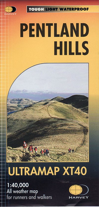
- Pentland Hills Harvey Ultramap XT40
- Pentland Hills on the outskirts of Edinburgh at 1:40,000 on a waterproof and tear-resistant, pocket-size Ultramap from Harvey Map Services with the same cartography as their Superwalker map of this area.The map is orientated with north-west at the top to provide continuous coverage of the Pentlands on one handy size sheet.PLEASE NOTE: this... Read more
- Also available from:
- De Zwerver, Netherlands

Bol.com
Netherlands
Netherlands
- Mountain Biking in Southern and Central Scotland
- This guidebook describes 21 mountain biking routes in central and southern Scotland. It includes the 7stanes trail centre in Dumfries and Galloway, as well as cross-country routes in the Campsie Fells, Pentland Hills and Lammermuirs, the Galloway Forest, Tweed Valley, Cheviots and Lowther Hills. The routes range from 17 to 66km and are graded... Read more
- Also available from:
- Bol.com, Belgium

Bol.com
Belgium
Belgium
- Mountain Biking in Southern and Central Scotland
- This guidebook describes 21 mountain biking routes in central and southern Scotland. It includes the 7stanes trail centre in Dumfries and Galloway, as well as cross-country routes in the Campsie Fells, Pentland Hills and Lammermuirs, the Galloway Forest, Tweed Valley, Cheviots and Lowther Hills. The routes range from 17 to 66km and are graded... Read more
Maps
Stanfords
United Kingdom
United Kingdom
- Edinburgh 1857-1869
- Edinburgh 1857-1869 map from Cassini reproducing old Ordnance Survey mapping of Scotland presented in a format designed to offer a convenient comparison with the present day coverage from the OS.Old maps have been combined so that the sheet lines correspond to the current Landranger series map No. 66 and are reproduced with the scale changed... Read more
Stanfords
United Kingdom
United Kingdom
- Edinburgh 1905-1907
- Edinburgh 1905-1907 map from Cassini reproducing old Ordnance Survey mapping of Scotland presented in a format designed to offer a convenient comparison with the present day coverage from the OS.Old maps have been combined so that the sheet lines correspond to the current Landranger series map No. 66 and are reproduced with the scale changed... Read more
Stanfords
United Kingdom
United Kingdom
- Edinburgh 1926-1928
- Edinburgh 1926-1928 map from Cassini reproducing old Ordnance Survey mapping of Scotland presented in a format designed to offer a convenient comparison with the present day coverage from the OS.Old maps have been combined so that the sheet lines correspond to the current Landranger series map No. 66 and are reproduced with the scale changed... Read more
Stanfords
United Kingdom
United Kingdom
- Edinburgh 1857-1957 (5-map set)
- Edinburgh Historical Set of five maps from Cassini reproducing old Ordnance Survey mapping of Scotland. The set consists of four maps at 1:50,000 with coverage corresponding to the present day OS Landranger Map No. 66, reproducing mapping from the OS published between 1857 and 1957. The fifth map presents the coverage of the city itself at... Read more
Stanfords
United Kingdom
United Kingdom
- Edinburgh 1956-1957
- Edinburgh 1956-1957 map from Cassini reproducing old Ordnance Survey mapping of Scotland presented in a format designed to offer a convenient comparison with the present day coverage from the OS.Old maps have been combined so that the sheet lines correspond to the current Landranger series map No. 66 and are reproduced with the scale changed... Read more
Stanfords
United Kingdom
United Kingdom
- Edinburgh 1857-1928 (3-map set)
- Edinburgh Historical Set of three maps from Cassini reproducing old Ordnance Survey mapping of Scotland between 1857 and 1928 presented in a format designed to offer a convenient comparison with the present day coverage from the OS.Old maps have been combined so that the sheet lines correspond to the current Landranger series map No. 66 and are... Read more

Stanfords
United Kingdom
2018
United Kingdom
2018
- Pentland Hills Harvey Superwalker XT25
- Pentland Hills on the outskirts of Edinburgh at 1:25,000 on a waterproof and tear-resistant map from Harvey Map Services in their Superwalker series. The map is orientated with north-west at the top to provide continuous coverage of the Pentlands on one handy size sheet.PLEASE NOTE: this title is also available as a pocket-size Ultramap with... Read more
- Also available from:
- The Book Depository, United Kingdom
- De Zwerver, Netherlands

The Book Depository
United Kingdom
2018
United Kingdom
2018
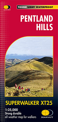
- Pentland Hills XT25
- Pentland Hills on the outskirts of Edinburgh at 1:25,000 on a waterproof and tear-resistant map from Harvey Map Services in their Superwalker series. The map is orientated with north-west at the top to provide continuous coverage of the Pentlands on one handy size sheet.Maps in Harvey Read more
De Zwerver
Netherlands
2018
Netherlands
2018
- Wandelkaart Pentland Hills | Harvey Maps
- Pentland Hills on the outskirts of Edinburgh at 1:25,000 on a waterproof and tear-resistant map from Harvey Map Services in their Superwalker series. The map is orientated with north-west at the top to provide continuous coverage of the Pentlands on one handy size sheet.Maps in Harvey Read more


