
Scottish Highlands
Description
The entire northern and western part of Scotland, including the islands. This is set apart of the southern and eastern part of Scotland, traditionally referred to as the Lowlands. The divide
Trails in this region
Links
Facts
Reports
Guides and maps
Lodging
Organisations
Tour operators
GPS
Other
Books

Stanfords
United Kingdom
United Kingdom
- Loch Lomond North - Tyndrum, Crianlarich & Arrochar OS Explorer Active Map OL39 (waterproof)
- The northern part of Loch Lomond on a detailed topographic and GPS compatible map No. 364, waterproof version, from the Ordnance Survey’s 1:25,000 Explorer series. Coverage includes a section of the Loch Lomond and The Trossachs National Park with parts of the Queen Elizabeth Forest Park and the Argyll Forest Park, 14 Munro peaks including An... Read more

Stanfords
United Kingdom
United Kingdom
- Stratford-upon-Avon, Warwick & Banbury OS Landranger Active Map 151 (waterproof)
- The area between Stratford-upon-Avon, Warwick and Banbury, including the northern part of the Cotswold Hills and part of the Cotswold Way / E2 European Long-distance Path, on a waterproof and tear-resistant OS Active version of map No. 151 from the Ordnance Survey’s Landranger series at 1:50,000, with contoured and GPS compatible topographic... Read more

Stanfords
United Kingdom
United Kingdom
- Cambridge, Newmarket & Saffron Walden OS Landranger Active Map 154 (waterproof)
- Parts of Cambridgeshire, Suffolk and Essex with Cambridge, Newmarket and Saffron Walden, including part of the E2 European Long-distance path, on a waterproof and tear-resistant OS Active version of map No. 154 from the Ordnance Survey’s Landranger series at 1:50,000, with contoured and GPS compatible topographic mapping plus tourist... Read more

Stanfords
United Kingdom
United Kingdom
- Crieff, Comrie & Glen Artney - Strathearn & Auchterarder OS Explorer Active Map OL47 (waterproof)
- Crieff, Comrie and Glen Artney area of the Scottish Highlands on a detailed topographic and GPS compatible map No. OL47, waterproof version, from the Ordnance Survey’s 1:25,000 Explorer series. Coverage includes a section of the Loch Lomond and The Trossachs National Park along the Keltie Water, the River Earn (Cormie to St Fillans) National... Read more

Stanfords
United Kingdom
United Kingdom
- Bury St Edmunds, Sudbury & Stowmarket OS Landranger Active Map 155 (waterproof)
- Suffolk around Bury St Edmunds, Sudbury and Stowmarket, including part of the E2 European Long-distance path, on a waterproof and tear-resistant OS Active version of map No. 155 from the Ordnance Survey’s Landranger series at 1:50,000, with contoured and GPS compatible topographic mapping plus tourist information.MOBILE DOWNLOADS: As well as... Read more

Stanfords
United Kingdom
2019
United Kingdom
2019
- West Highland Way: Glasgow to Fort William
- Fully revised 7th edition. The West Highland Way passes through some of the most spectacular scenery in all of Britain. From the outskirts of Glasgow it winds for 96 miles (154.5km) along the wooded banks of Loch Lomond, across the wilderness of Rannoch Moor, over the mountains above Glencoe to a dramatic finish passing Ben Nevis - Britain`s... Read more

Stanfords
United Kingdom
United Kingdom
- Ben Lawers & Glen Lyon - Loch Tay, Killin & Kenmore OS Explorer Active Map OL48 (waterproof)
- Ben Lawyers and Glen Lyon area of the Scottish Highlands on a detailed topographic and GPS compatible map OL48, waterproof version, from the Ordnance Survey’s 1:25,000 Explorer series. Coverage includes part of the Loch Rannoch and Glen Lyon National Scenic Area, 22 Munro peaks including An Stuc, Carn Gorm, Meall Glas and Sgiath Chuil, Loch Tay... Read more

Stanfords
United Kingdom
United Kingdom
- Cheltenham, Cirencester & Stow-on-the-Wold OS Landranger Active Map 163 (waterproof)
- Cheltenham and Cirencester area, including sections of the Thames Path, the Cotswold Way and the E2 European Long-distance Path, on a waterproof and tear-resistant OS Active version of map No. 163 from the Ordnance Survey’s Landranger series at 1:50,000, with contoured and GPS compatible topographic mapping plus tourist information.MOBILE... Read more

Stanfords
United Kingdom
United Kingdom
- MacGillycuddy`s Reeks Harvey Superwalker XT30
- Includes the whole of the Killarney National Park.Detailed map for hillwalkers of MacGillycuddy`s Reeks at 1:30,000 scale.Summit enlargement of Carrauntoohil at 1:15,000.Shows tracks, paths and cliffs in detail. As used by Mountain Rescue Ireland.PLEASE NOTE: this title is also available as a pocket-size Ultramap with its scale reduced to... Read more

Stanfords
United Kingdom
United Kingdom
- Maidstone, Royal Tunbridge Wells, Sevenoaks & Tonbridge OS Landranger Active Map 188 (waterproof)
- Maidstone, Tunbridge Wells and the High Weald area, including a section of the North Downs Way / E2 European Long-distance Path, on a waterproof and tear-resistant OS Active version of map No. 188 from the Ordnance Survey’s Landranger series at 1:50,000, with contoured and GPS compatible topographic mapping plus tourist information.MOBILE... Read more

Stanfords
United Kingdom
United Kingdom
- Oxford, Chipping Norton & Bicester OS Landranger Active Map 164 (waterproof)
- Oxford area, including sections of the Thames Path and the E2 European Long-distance Path, on a waterproof and tear-resistant OS Active version of map No. 164 from the Ordnance Survey’s Landranger series at 1:50,000, with contoured and GPS compatible topographic mapping plus tourist information.MOBILE DOWNLOADS: As well as the physical edition... Read more

Stanfords
United Kingdom
United Kingdom
- North York Moors Western OS Explorer Active Map OL26 (waterproof)
- The western part of the North York Moors National Park on a detailed topographic and GPS compatible map OL26, waterproof version, from the Ordnance Survey’s 1:25,000 Explorer series. Coverage extends from Ampleforth in the south northwards to Saltburn-by-the-Sea, and from Ingleby Arncliffe to Danby, Castleton and Hutton-le-Hole, and includes... Read more

Stanfords
United Kingdom
United Kingdom
- Ely, Wisbech & Downham Market OS Landranger Active Map 143 (waterproof)
- Cambridgeshire around Ely, Wisbech and Downham Market, including part of the E2 European Long-distance Path, on a waterproof and tear-resistant OS Active version of map No. 143 from the Ordnance Survey’s Landranger series at 1:50,000, with contoured and GPS compatible topographic mapping plus tourist information.MOBILE DOWNLOADS: As well as the... Read more

Stanfords
United Kingdom
United Kingdom
- Ipswich, The Naze & Clacton-on-Sea OS Landranger Active Map 169 (waterproof)
- Ipswich with Harwich and The Naze area, including part of the E2 European Long-distance Path, on a waterproof and tear-resistant OS Active version of map No. 169 from the Ordnance Survey’s Landranger series at 1:50,000, with contoured and GPS compatible topographic mapping plus tourist information.MOBILE DOWNLOADS: As well as the physical... Read more

The Book Depository
United Kingdom
United Kingdom
- From Milngavie to Midges
- Hiking the West Highland way, Scotland - A pocket guide, or if you wear a kilt, a Sporran guide Read more
Maps

Stanfords
United Kingdom
United Kingdom
- Ben Lawers and Schiehallion Harvey Superwalker XT25
- Ben Lawers area of the Scottish Highlands with the peak of Schiehallion at 1:25,000 on a waterproof and tear-resistant map from Harvey Map Services in their Superwalker series. The map is double-sided, with a small overlap between the sides, and coverage extends from Kinloch Rannoch and Loch Rannoch in the north to Killin and Loch Tay in the... Read more

Stanfords
United Kingdom
United Kingdom
- Glen Coe - Glen Etive & Black Mount Harvey Superwalker XT25
- Glen Coe area of the Scottish Highlands, including Glen Etive and Black Mount, at 1:25,000 on a light, waterproof and tear-resistant map from Harvey Map Services in their Superwalker series. The map is double-sided, with an overlap between the sides, and extends from Loch leven, Kinlochmore and the Blackwater Reservoir southwards to Loch Etive... Read more

Stanfords
United Kingdom
United Kingdom
- Ben Venue - Loch Ard Forest & the Trossachs Harvey Superwalker
- Ben Venue: Loch Ard Forest and the Trossachs area of the Scottish Highlands at 1:25,000 on a waterproof and tear-resistant map from Harvey Map Services in their Superwalker series.Maps in Harvey’s Superwalker series have contours at 15m intervals, with additional graphics for various types of terrain (crags, large boulders, scattered rocks) and... Read more
Stanfords
United Kingdom
United Kingdom
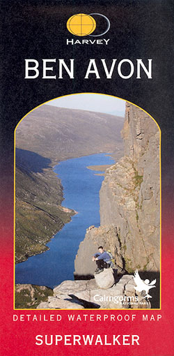
- Ben Avon Harvey Superwalker XT25
- Ben Avon area of the Scottish Highlands at 1:25,000 on a waterproof and tear-resistant map from Harvey Map Services in their Superwalker series. Maps in Harvey’s Superwalker series have contours at 15m intervals, with additional graphics for various types of terrain (crags, large boulders, scattered rocks) and colouring for different kinds of... Read more

Stanfords
United Kingdom
United Kingdom
- Luxembourg North
- One of two topographic survey maps of Luxembourg at 1:50,000, with contours at 10-metres intervals and additional relief shading. An overprint highlights long-distance footpaths, including the GR5 (E-2), cycle routes, and various places of interest, including campsites. The map covers an area of approximately 53 x 43 km / 33 x 27 miles. Map... Read more

Stanfords
United Kingdom
United Kingdom
- Luxembourg South
- One of two topographic survey maps of Luxembourg at 1:50,000, with contours at 10-metres intervals and additional relief shading. An overprint highlights long-distance footpaths, including the GR5 (E-2), cycle routes, and various places of interest, including campsites. The map covers an area of approximately 53 x 43 km / 33 x 27 miles. Map... Read more

Stanfords
United Kingdom
2020
United Kingdom
2020
- West Highland Way - Easy-to-use Folding Map and Essential Information
- The 153-kilometre West Highland Way encompasses the variety of Scotland`s wild places. The route, which begins in Milngavie and finishes in Fort William, passes from Glasgow, Scotland`s friendliest city, through lochs and forests, and across wild moors in the shadows of Munros. Offering panoramic views and clear waymarking, it is no wonder this... Read more
- Also available from:
- The Book Depository, United Kingdom
- De Zwerver, Netherlands

The Book Depository
United Kingdom
2020
United Kingdom
2020
- West Highland Way
- Easy-to-use folding map and essential information, with custom itinerary planning for walkers, trekkers, fastpackers and trail runners Read more

De Zwerver
Netherlands
2020
Netherlands
2020
- Wandelkaart West Highland Way | Vertebrate Publishing
- The 153-kilometre West Highland Way encompasses the variety of Scotland`s wild places. The route, which begins in Milngavie and finishes in Fort William, passes from Glasgow, Scotland`s friendliest city, through lochs and forests, and across wild moors in the shadows of Munros. Offering panoramic views and clear waymarking, it is no wonder this... Read more

Stanfords
United Kingdom
2013
United Kingdom
2013
- South Loch Ness Trail Harvey National Trail XT40
- The South Loch Ness Trail, a 45km / 28 mile long hiking route from Loch Tarff near Fort Augustus on the southern tip of Loch Ness to Torbreck on the outskirts of Inverness at 1:40,000 on GPS compatible, light, waterproof and tear-resistant map from Harvey Map Services. The map also highlights the course of the Trail of the 7 Lochs, an 80km / 50... Read more
- Also available from:
- The Book Depository, United Kingdom
- De Zwerver, Netherlands

The Book Depository
United Kingdom
2013
United Kingdom
2013
- South Loch Ness Trail
- The South Loch Ness Trail, a 45km / 28 mile long hiking route from Loch Tarff near Fort Augustus on the southern tip of Loch Ness to Torbreck on the outskirts of Inverness at 1:40,000 on GPS compatible, light, waterproof and tear-resistant map from Harvey Map Services. The map also highlights the course of the Trail of the 7 Lochs, an 80km / 50... Read more

De Zwerver
Netherlands
2013
Netherlands
2013
- Wandelkaart South Loch Ness Trail | Harvey Maps
- The South Loch Ness Trail, a 45km / 28 mile long hiking route from Loch Tarff near Fort Augustus on the southern tip of Loch Ness to Torbreck on the outskirts of Inverness at 1:40,000 on GPS compatible, light, waterproof and tear-resistant map from Harvey Map Services. The map also highlights the course of the Trail of the 7 Lochs, an 80km / 50... Read more
Stanfords
United Kingdom
United Kingdom
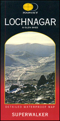
- Lochnagar & Glen Shee Harvey Superwalker
- Lochnagar and Glen Shee area of the Scottish Highlands at 1:25,000 on a waterproof and tear-resistant map from Harvey Map Services in their Superwalker series. Coverage includes the Glenshee Ski Centre and Loch Muick.Maps in Harvey’s Superwalker series have contours at 15m intervals, with additional graphics for various types of terrain (crags,... Read more
- Also available from:
- The Book Depository, United Kingdom


Stanfords
United Kingdom
2018
United Kingdom
2018
- East Highland Way Harvey National Trail XT40
- East Highland Way, a 132km / 82 miles trail on a light, waterproof and tear-resistant map at 1:40,000 from Harvey Map Services presenting the route accompanied by extensive additional tourist information. The route links Fort Williams, the northern point of the West Highland Way and the southern point of the Great Glen Way, with Aviemore, the... Read more
- Also available from:
- The Book Depository, United Kingdom
- De Zwerver, Netherlands

The Book Depository
United Kingdom
2018
United Kingdom
2018
- East Highland Way
- East Highland Way, a 132km / 82 miles trail on a light, waterproof and tear-resistant map at 1:40,000 from Harvey Map Services presenting the route accompanied by extensive additional tourist information. The route links Fort Williams, the northern point of the West Highland Way and the southern point of the Great Glen Way, with Aviemore, the... Read more

De Zwerver
Netherlands
2018
Netherlands
2018
- Wandelkaart East Highland Way | Harvey Maps
- East Highland Way, a 132km / 82 miles trail on a light, waterproof and tear-resistant map at 1:40,000 from Harvey Map Services presenting the route accompanied by extensive additional tourist information. The route links Fort Williams, the northern point of the West Highland Way and the southern point of the Great Glen Way, with Aviemore, the... Read more
Stanfords
United Kingdom
United Kingdom
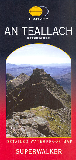
- An Teallach & Fisherfield Harvey Superwalker
- An Teallach and Fisherfield area of Scottish Highlands at 1:25,000 on a waterproof and tear-resistant, GPS compatible map from Harvey Map Services in their Superwalker series covering popular hiking areas of Great Britain and Ireland, annotated with additional information for walkers.Maps in Harvey’s Superwalker series have contours at 15m... Read more
- Also available from:
- The Book Depository, United Kingdom


Stanfords
United Kingdom
United Kingdom
- The Great Trossachs Path Harvey National Trail XT40
- The Great Trossachs Path, a 48km / 30 mile long spur off the West Highlight Way linking Inversnaid on Lomond with Callander presented at 1:40,000 on a GPS compatible, light, waterproof and tear-resistant map from Harvey Map Services. The route which runs along the shores of Loch Arklet, Loch Katrine, Loch Achray and Loch Venachar and links in... Read more
- Also available from:
- The Book Depository, United Kingdom
- De Zwerver, Netherlands


De Zwerver
Netherlands
Netherlands
- Wandelkaart The Great Trossachs Path | Harvey Maps
- The Great Trossachs Path, a 48km / 30 mile long spur off the West Highlight Way linking Inversnaid on Lomond with Callander presented at 1:40,000 on a GPS compatible, light, waterproof and tear-resistant map from Harvey Map Services. The route which runs along the shores of Loch Arklet, Loch Katrine, Loch Achray and Loch Venachar and links in... Read more

Stanfords
United Kingdom
United Kingdom
- Great Glen Way Harvey National Trail XT40
- Great Glen Way, a 126km/79 miles trail from Fort William along Loch Ness to Inverness, presented at 1:40,000 on a light, waterproof and tear-resistant map from Harvey Map Services. The whole route is covered on four overlapping panels, and includes street plans of Fort William (showing the start/end of the West Highland Way) and Inverness. Map... Read more
- Also available from:
- The Book Depository, United Kingdom
- De Zwerver, Netherlands

The Book Depository
United Kingdom
United Kingdom
- Great Glen Way
- Great Glen Way, a 126km/79 miles trail from Fort William along Loch Ness to Inverness, presented at 1:40,000 on a light, waterproof and tear-resistant map from Harvey Map Services. The whole route is covered on four overlapping panels, and includes street plans of Fort William (showing the start/end of the West Highland Way) and Inverness. Map... Read more

De Zwerver
Netherlands
Netherlands
- Wandelkaart Great Glen Way | Harvey Maps
- Great Glen Way, a 126km/79 miles trail from Fort William along Loch Ness to Inverness, presented at 1:40,000 on a light, waterproof and tear-resistant map from Harvey Map Services. The whole route is covered on four overlapping panels, and includes street plans of Fort William (showing the start/end of the West Highland Way) and Inverness. Map... Read more

Stanfords
United Kingdom
United Kingdom
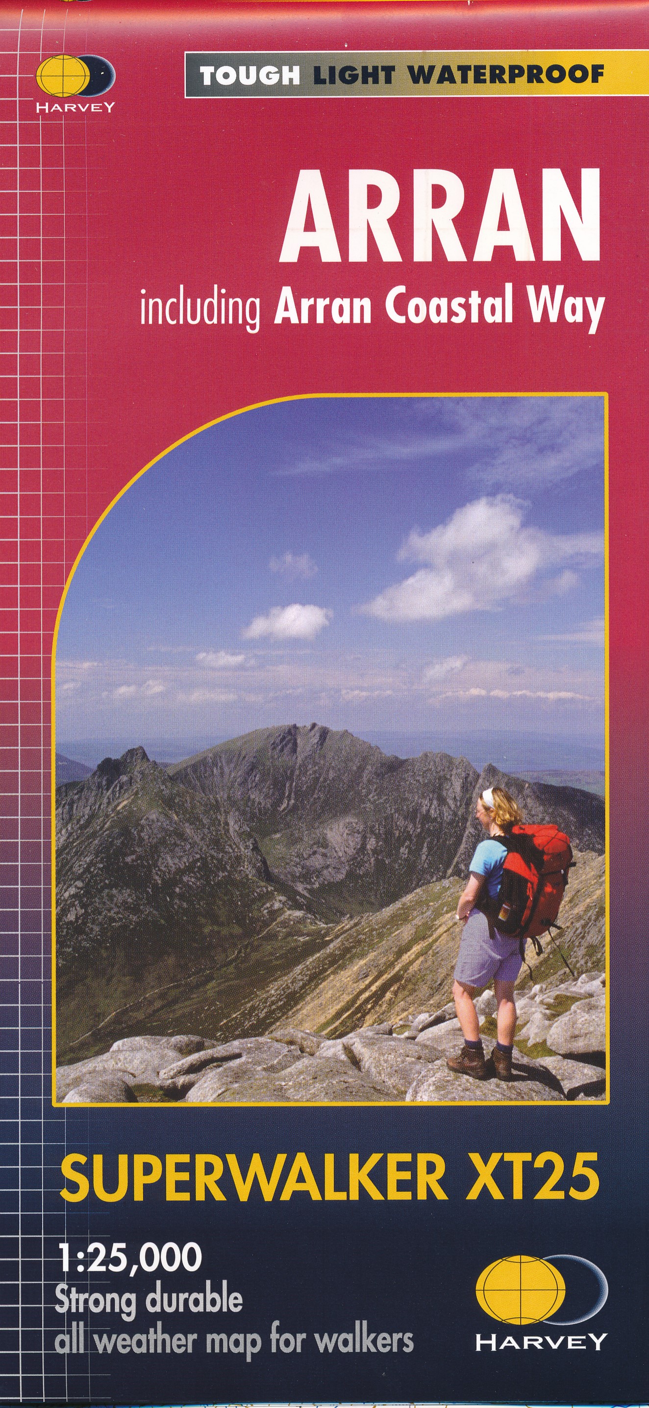
- Arran - incl. Arran Coastal Way Harvey Superwalker XT25 Map
- The Scottish island of Arran at 1:25,000 on a double-sided, a waterproof and tear-resistant, GPS compatible map from Harvey Map Services in their Superwalker series, with highlighting for the Arran Coastal Way and with a list of archaeological and historical sites. The map divides the island east/west, with a good overlap between the sides. The... Read more
- Also available from:
- The Book Depository, United Kingdom
- De Zwerver, Netherlands

De Zwerver
Netherlands
Netherlands
- Wandelkaart Arran including Arran Coastal Way | Harvey Maps
- The Scottish island of Arran at 1:25,000 on a double-sided, a waterproof and tear-resistant, GPS compatible map from Harvey Map Services in their Superwalker series, with highlighting for the Arran Coastal Way and a list of archaeological and historical sites. The map divides the island east/west, with a good overlap between the sides. The... Read more
Stanfords
United Kingdom
2010
United Kingdom
2010
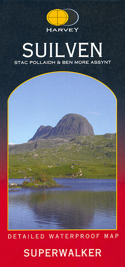
- Suilven Harvey Superwalker
- The Suilven area of Scottish Highlands at 1:25,000 on a waterproof and tear-resistant map from Harvey Map Services in their Superwalker series. Coverage extends from Loch Inver and Loch Assynt in the north southwards to Loch Lurgainn, Cam Loch and Ledmore Junction in the south, and includes Stac Pollaidh, Cùl Mòr and Ben More Assynt.Maps in... Read more
- Also available from:
- The Book Depository, United Kingdom
- De Zwerver, Netherlands

De Zwerver
Netherlands
2010
Netherlands
2010
- Wandelkaart Suilven / Stac Pollaidh & Ben More Assynt harve | Harvey Maps
- The Suilven area of Scottish Highlands at 1:25,000 on a waterproof and tear-resistant map from Harvey Map Services in their Superwalker series. Coverage extends from Loch Inver and Loch Assynt in the north southwards to Loch Lurgainn, Cam Loch and Ledmore Junction in the south, and includes Stac Pollaidh, C Read more