
Torridon Hills
Description
A well known, spectacular mountain range in the West of Scotland. The Torridon Hills rise out of the land around them like castles. One can walk around in this area and admire them from below. But a scramble on the ridge of each of them is possible too.
Links
Facts
Reports
Guides and maps
Lodging
Organisations
Tour operators
GPS
Other
Books

Stanfords
United Kingdom
2015
United Kingdom
2015
- Torridon Walking
- Walking in Torridon is a Cicerone guide to 52 day walks of differing grades in this area of the Scottish Highlands, including ascent routes for nine Munros, which will enable you to discover the best of remote Torridon and prepare you to range over heather, grass, rock and marsh, without paths or waymarks. Making Shieldaig its base, the book... Read more

Stanfords
United Kingdom
United Kingdom
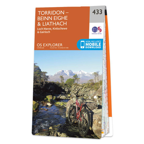
- Torridon - Beinn Eighe & Liathach - Loch Maree, Kinlochewe & Gairloch OS Explorer Active Map 433 (waterproof)
- Torridon, Beinn Eighe, Liathach, Loch Maree, Kinlochewe and Gairloch area on a detailed topographic and GPS compatible map No. 433, waterproof version, from the Ordnance Survey’s 1:25,000 Explorer series. MOBILE DOWNLOADS: this title and all the other OS Explorer maps include a code for downloading after purchase the digital version onto your... Read more
- Also available from:
- The Book Depository, United Kingdom


Stanfords
United Kingdom
2016
United Kingdom
2016
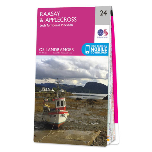
- Raasay, Applecross, Loch Torridon & Plockton OS Landranger Map 24 (paper)
- Paper version of map No. 24 from the Ordnance Survey’s Landranger series at 1:50,000, with contoured and GPS compatible topographic mapping plus tourist information.MOBILE DOWNLOADS: As well as the physical edition of the map, each Landranger title now includes a code for downloading after purchase its digital version onto your smartphone or... Read more
- Also available from:
- The Book Depository, United Kingdom
- De Zwerver, Netherlands

De Zwerver
Netherlands
2016
Netherlands
2016

Stanfords
United Kingdom
United Kingdom
- Raasay, Applecross, Loch Torridon & Plockton OS Landranger Active Map 24 (waterproof)
- Waterproof and tear-resistant OS Active version of map No. 24 from the Ordnance Survey’s Landranger series at 1:50,000, with contoured and GPS compatible topographic mapping plus tourist information.MOBILE DOWNLOADS: As well as the physical edition of the map, each Landranger title now includes a code for downloading after purchase its digital... Read more
- Also available from:
- The Book Depository, United Kingdom

Stanfords
United Kingdom
2016
United Kingdom
2016
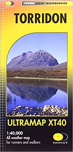
- Torridon Harvey Ultramap XT40
- The Torridon area of the western at 1:40,000 on a waterproof and tear-resistant, pocket-size Ultramap from Harvey Map Services with the same cartography as their Superwalker map of this area. Coverage extends east to Kinlochewe and includes Slioch, Beinn Eighe, Liatach and Beinn Alligin.PLEASE NOTE: this title is also available as a Superwalker... Read more
- Also available from:
- The Book Depository, United Kingdom
- De Zwerver, Netherlands


The Book Depository
United Kingdom
2022
United Kingdom
2022
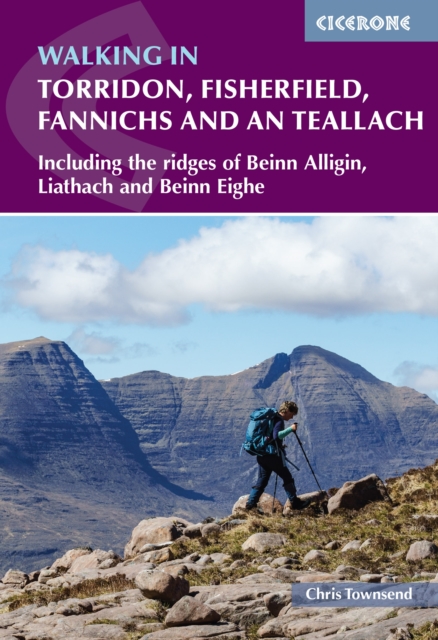
- Walking in Torridon, Fisherfield, Fannichs and An Teallach
- Including the ridges of Beinn Alligin, Liathach and Beinn Eighe Read more
- Also available from:
- De Zwerver, Netherlands
De Zwerver
Netherlands
2022
Netherlands
2022
- Wandelgids Walking in Torridon, Fisherfield, Fannichs and An Teallach | Cicerone
- Including the ridges of Beinn Alligin, Liathach and Beinn Eighe Read more

Stanfords
United Kingdom
2010
United Kingdom
2010
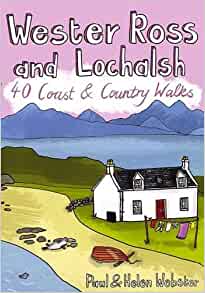
- Wester Ross and Lochalsh
- Wester Ross and Lochalsh are amongst the most popular areas for walks in the Scottish Highlands. The Lochalsh peninsula between the shores of Loch Duich and Loch Carron offers varied walking from villages such as Plockton as well as the region`s main town at Kyle of Lochalsh. Across the dramatic Mam Ratagan pass is the remote and secluded... Read more
- Also available from:
- The Book Depository, United Kingdom
- De Zwerver, Netherlands

De Zwerver
Netherlands
2010
Netherlands
2010
- Wandelgids Wester Ross and Lochalsh | Pocket Mountains
- Wester Ross and Lochalsh are amongst the most popular areas for walks in the Scottish Highlands. The Lochalsh peninsula between the shores of Loch Duich and Loch Carron offers varied walking from villages such as Plockton as well as the region's main town at Kyle of Lochalsh. Across the dramatic Mam Ratagan pass is the remote and secluded... Read more

Stanfords
United Kingdom
2011
United Kingdom
2011
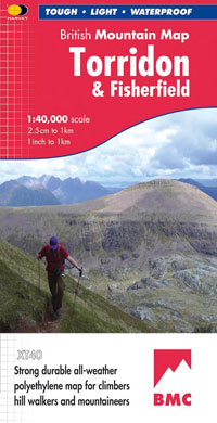
- Torridon & Fisherfield Harvey British Mountain Map XT40
- ”HARVEY British Mountain Maps are a joy to use. The detail and accuracy make them my first choice when I am researching a route or just out on the hills for fun”. Peter Macfarlane, outdoor writer and photographer.Detailed map of the giants of Torridon and the remote hills of Fisherfield on one sheet at 1:40,000 scale.Summit enlargements of... Read more
- Also available from:
- The Book Depository, United Kingdom
- De Zwerver, Netherlands


Stanfords
United Kingdom
United Kingdom
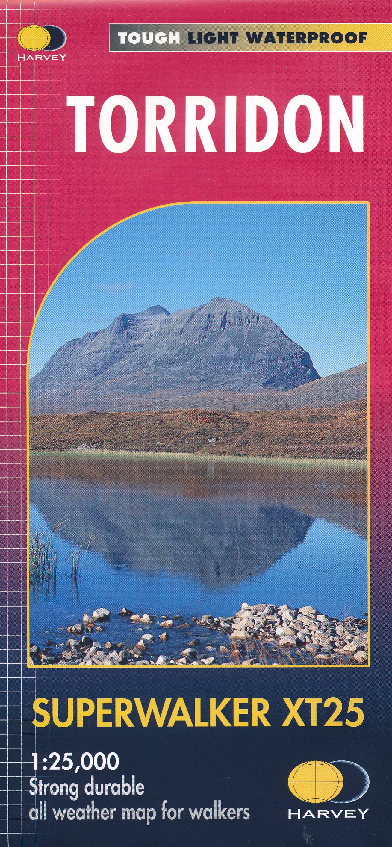
- Torridon Harvey Superwalker XT25
- The Torridon area of the western Highlands at 1:25,000 on a light, waterproof and tear-resistant, contoured and GPS compatible map from Harvey Map Services in their Superwalker series. Coverage extends east to Kinlochewe and includes Slioch, Beinn Eighe, Liatach and Beinn Alligin.PLEASE NOTE: this title is also available as a pocket-size... Read more
- Also available from:
- The Book Depository, United Kingdom
- De Zwerver, Netherlands


Stanfords
United Kingdom
2015
United Kingdom
2015
- Torridon - Beinn Eighe & Liathach - Loch Maree, Kinlochewe & Gairloch OS Explorer Map 433 (paper)
- Torridon, Beinn Eighe, Liathach, Loch Maree, Kinlochewe and Gairloch area on a detailed topographic and GPS compatible map No. 433, paper version, from the Ordnance Survey’s 1:25,000 Explorer series. MOBILE DOWNLOADS: this title and all the other OS Explorer maps include a code for downloading after purchase the digital version onto your... Read more
- Also available from:
- The Book Depository, United Kingdom
- De Zwerver, Netherlands

De Zwerver
Netherlands
2015
Netherlands
2015
Bol.com
Netherlands
2016
Netherlands
2016
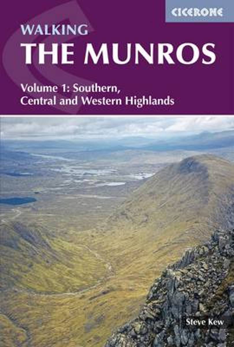
- Walking the Munros Vol 1 - Southern, Central and Western Highlands
- This guidebook presents 70 challenging and inspiring routes to climb 143 Munro mountains. Part of a two-part set, this second volume covers the northern Highlands (north of the Great Glen), the Cairngorms and Isle of Skye. Covering popular and lesser-known routes, it is ideal both for Munro-baggers and those who simply love great mountain... Read more
- Also available from:
- Bol.com, Belgium
Bol.com
Belgium
2016
Belgium
2016
- Walking the Munros Vol 1 - Southern, Central and Western Highlands
- This guidebook presents 70 challenging and inspiring routes to climb 143 Munro mountains. Part of a two-part set, this second volume covers the northern Highlands (north of the Great Glen), the Cairngorms and Isle of Skye. Covering popular and lesser-known routes, it is ideal both for Munro-baggers and those who simply love great mountain... Read more

The Book Depository
United Kingdom
2013
United Kingdom
2013
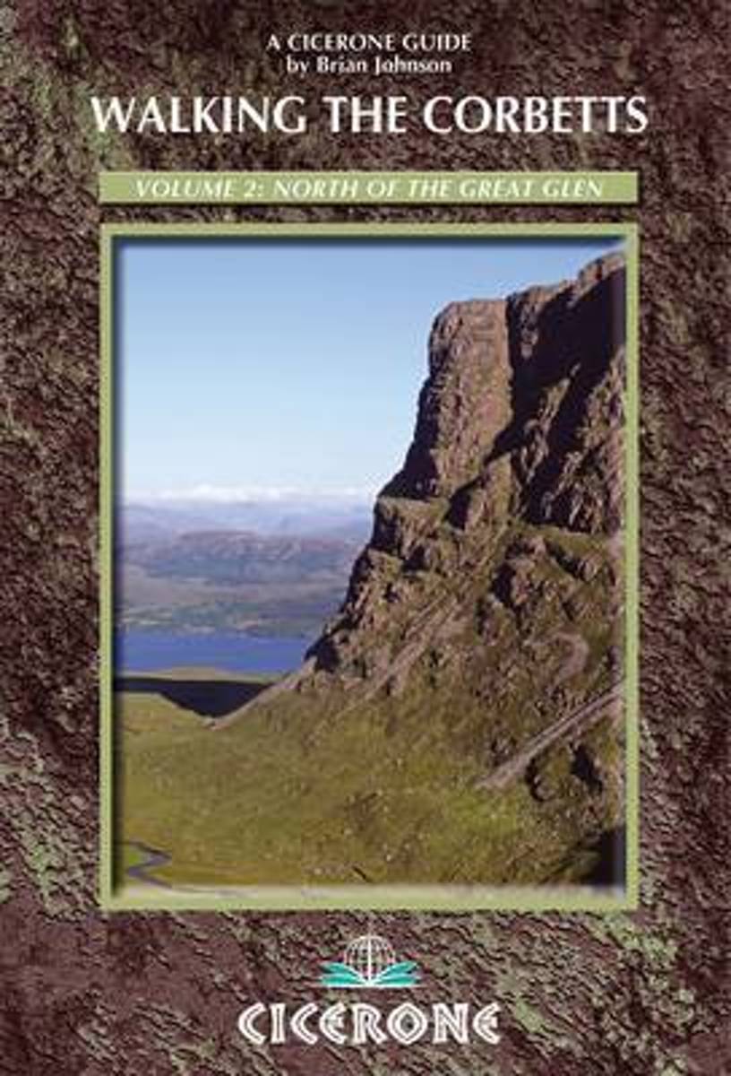
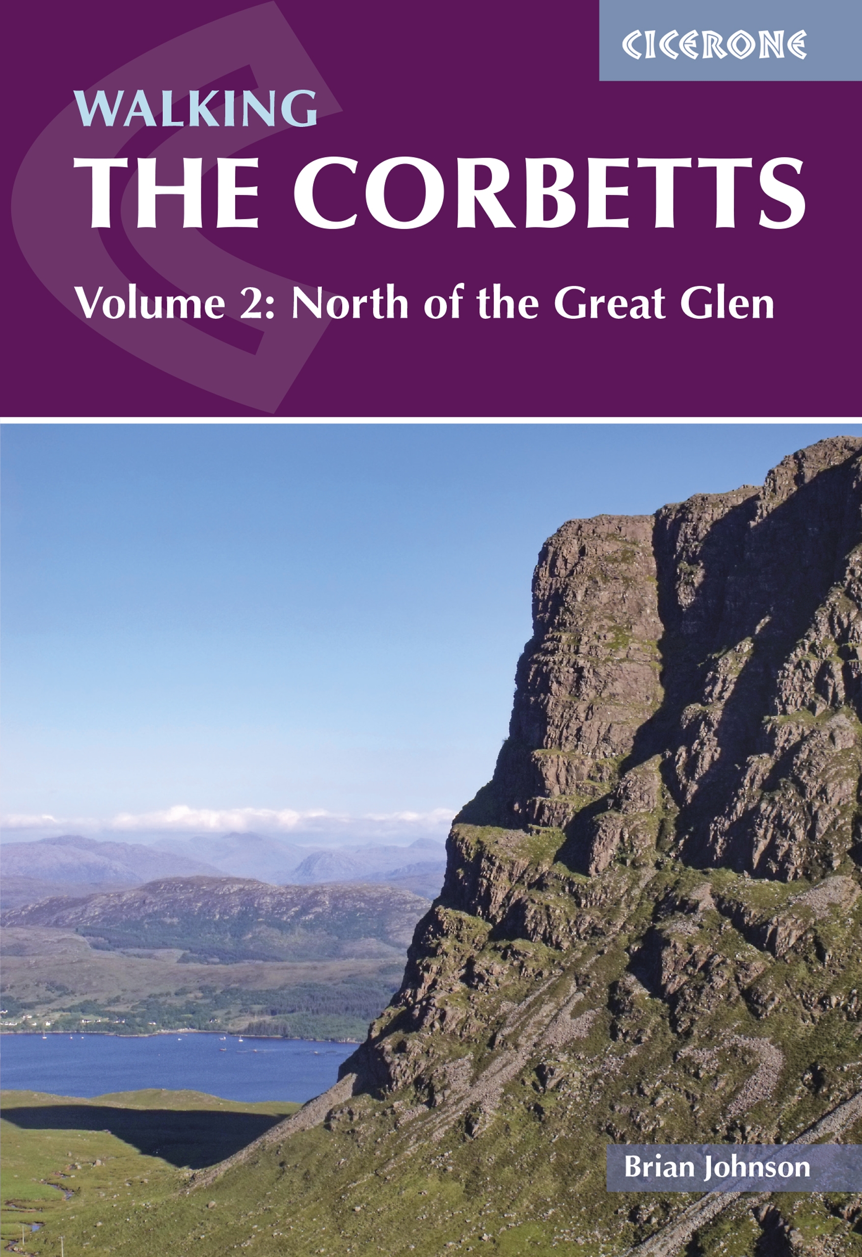
- Walking the Corbetts Vol 2 North of the Great Glen
- The guidebook describes walking routes up all 109 Corbetts north of the Great Glen (Scotland's 2500-2999ft mountains). From Ardgour to Cape Wrath including Knoydart, Applecross and Torridon, as well as Mull, Rum, Harris and Skye. For walkers who want interesting routes up these spectacular and lesser-known hills. Part of a two-volume set. Read more
- Also available from:
- Bol.com, Netherlands
- Bol.com, Belgium
- De Zwerver, Netherlands
Bol.com
Netherlands
2013
Netherlands
2013
- Walking the Corbetts Vol 2 North of the Great Glen
- The Corbetts (Scotland's 2500-2999ft mountains) are every bit as interesting as the Munros (3000ft and over), often clear when the Munros are in cloud, walkable on short winter days, free of the peak-bagging crowds of their taller neighbours. Volume 2 of this 2-part Cicerone guide covers the Corbetts to the north of the Great Glen, which runs... Read more
Bol.com
Belgium
2013
Belgium
2013
- Walking the Corbetts Vol 2 North of the Great Glen
- The Corbetts (Scotland's 2500-2999ft mountains) are every bit as interesting as the Munros (3000ft and over), often clear when the Munros are in cloud, walkable on short winter days, free of the peak-bagging crowds of their taller neighbours. Volume 2 of this 2-part Cicerone guide covers the Corbetts to the north of the Great Glen, which runs... Read more
De Zwerver
Netherlands
2022
Netherlands
2022
- Wandelgids Walking the Corbetts: Volume 2 | Cicerone
- The guidebook describes walking routes up all 109 Corbetts north of the Great Glen (Scotland's 2500-2999ft mountains). From Ardgour to Cape Wrath including Knoydart, Applecross and Torridon, as well as Mull, Rum, Harris and Skye. For walkers who want interesting routes up these spectacular and lesser-known hills. Part of a two-volume set. Read more
Bol.com
Netherlands
Netherlands
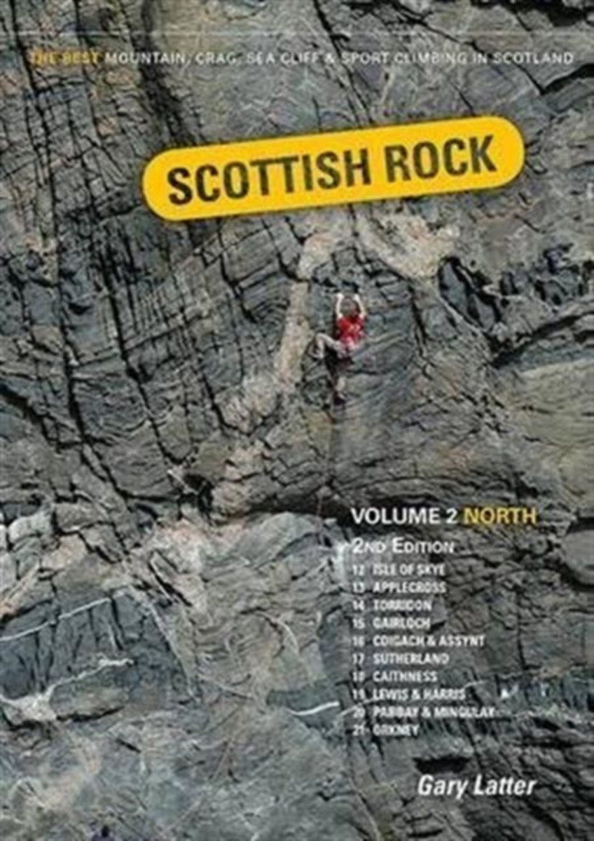
- Scottish Rock
- This is the 2nd edition of Scottish Rock: Volume 2 North, a selective rock climbing guide to over 2,400 routes in the North-West, the Far North, the Hebrides and Orkney. Volume 1 extends this area south of the great Glen. These guides will take you to some extraordinary places to experience some of the best rock climbing and scrambling around.... Read more
- Also available from:
- Bol.com, Belgium
Bol.com
Belgium
Belgium
- Scottish Rock
- This is the 2nd edition of Scottish Rock: Volume 2 North, a selective rock climbing guide to over 2,400 routes in the North-West, the Far North, the Hebrides and Orkney. Volume 1 extends this area south of the great Glen. These guides will take you to some extraordinary places to experience some of the best rock climbing and scrambling around.... Read more

The Book Depository
United Kingdom
2015
United Kingdom
2015
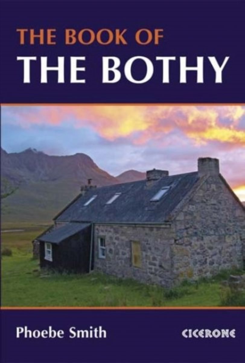
- The Book of the Bothy
- A celebration of 26 of the author's favourite bothies, as she shares her memories of her favourite 'stone tents' all over the UK in remote and wild locations. Packed with expert advice on how to make use of these 'free, old, empty houses' from packing lists to bothy etiquette and the best walks into these remote locations. Read more
- Also available from:
- Bol.com, Netherlands
- Bol.com, Belgium
Bol.com
Netherlands
2015
Netherlands
2015
- The Book of the Bothy
- An introduction to some of the best bothies in the UK. Featuring 26 selected bothies, the author shares her memories of using these free 'stone tents' in some of the country's wildest and most remote locations. Alongside notes on legends and landscape, wildlife and history, the book is full of expert guidance and tips on how to make use of... Read more
Bol.com
Belgium
2015
Belgium
2015
- The Book of the Bothy
- An introduction to some of the best bothies in the UK. Featuring 26 selected bothies, the author shares her memories of using these free 'stone tents' in some of the country's wildest and most remote locations. Alongside notes on legends and landscape, wildlife and history, the book is full of expert guidance and tips on how to make use of... Read more
Bol.com
Netherlands
Netherlands
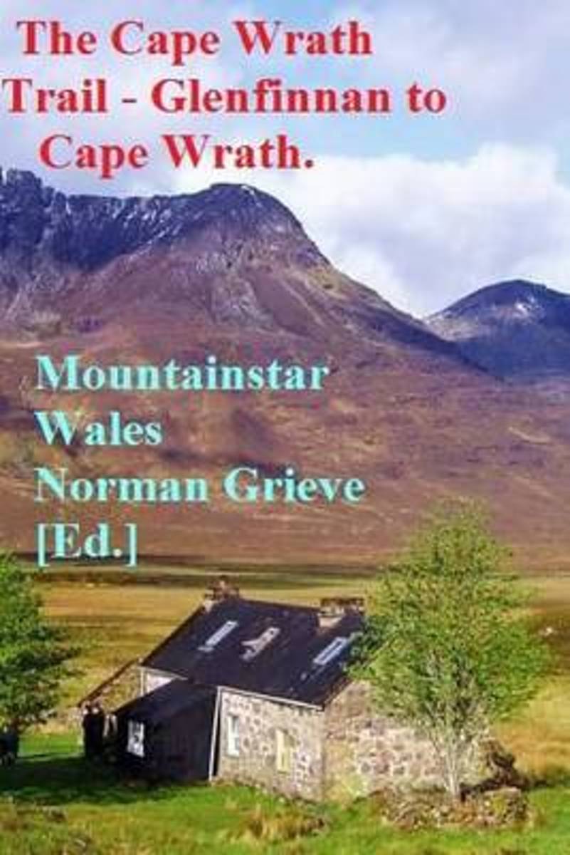
- The Cape Wrath Trail - Glenfinnan to Cape Wrath.
- P.3 Day 1. Glenfinnan to Sourlies Bothy. 16.5 miles.P.5 Day 2. Sourlies to Kinloch Hourn. 14 miles. P.9 Day 3. Kinloch Hourn to Ratagan. 10.4 miles. P.9 Day 4. Ratagan to Lochcarron. 18 miles.P.11 Day 5. Lochcarron to Torridon. 13.5 miles.P.12 Day 6. Torridon to Kinlochewe. 9.5 miles.P.12 Day 7. Kinlochewe to Shenavall bothy. 16 miles. P.16 Day... Read more
- Also available from:
- Bol.com, Belgium
Bol.com
Belgium
Belgium
- The Cape Wrath Trail - Glenfinnan to Cape Wrath.
- P.3 Day 1. Glenfinnan to Sourlies Bothy. 16.5 miles.P.5 Day 2. Sourlies to Kinloch Hourn. 14 miles. P.9 Day 3. Kinloch Hourn to Ratagan. 10.4 miles. P.9 Day 4. Ratagan to Lochcarron. 18 miles.P.11 Day 5. Lochcarron to Torridon. 13.5 miles.P.12 Day 6. Torridon to Kinlochewe. 9.5 miles.P.12 Day 7. Kinlochewe to Shenavall bothy. 16 miles. P.16 Day... Read more