Wye Valley
Description
The Wye Valley in Wales is a protected area between Chepstow and Hereford. The scenic nature can be enjoyed by walking the Wye Valley Walk. Offa's Dyke Path also traverses the area.
Trails in this region
Links
Facts
Reports
Guides and maps
Lodging
Organisations
Tour operators
GPS
Other
Books

Stanfords
United Kingdom
United Kingdom
- The Great British Bucket List
- If you want to ski off a cliff or swim with sharks, stop reading now. This book is about achievable adventures that celebrate the best of Britain and Britishness. The 60 mini adventures are graded in difficulty from comically easy to mildly challenging, making them suitable for a wide range of ages and abilities. They include the most beautiful... Read more

Stanfords
United Kingdom
United Kingdom
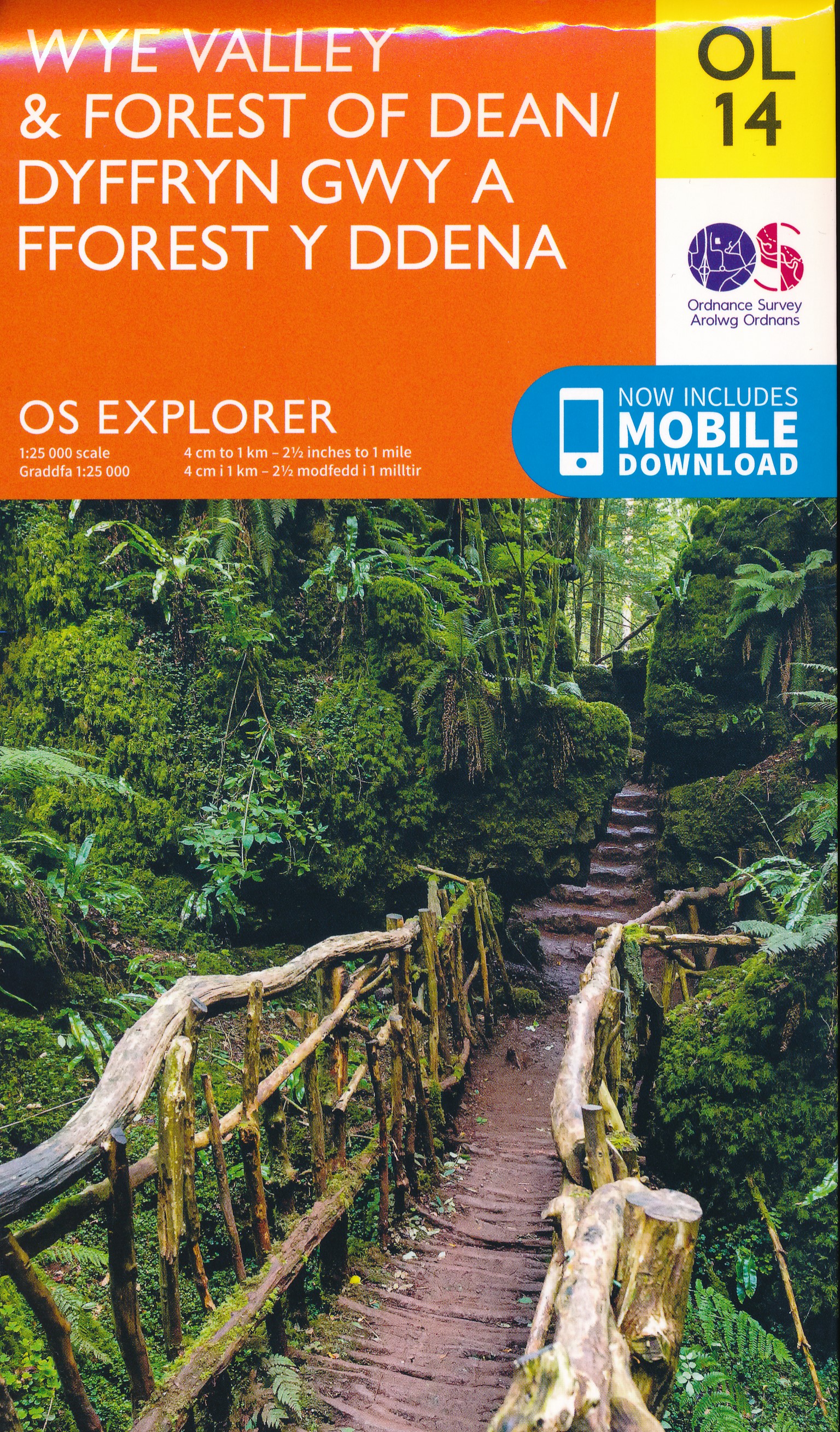
- Wye Valley & Forest of Dean OS Explorer Active Map OL14 (waterproof)
- The Wye Valley and the Forest of Dean on a detailed topographic and GPS compatible map OL14, waterproof version, from the Ordnance Survey’s 1:25,000 Explorer series. Coverage extends from Chepstow in the south to beyond Ross-on-Wye and includes Monmouth, the Wye Valley Area of Outstanding Natural Beauty, sections of the Offa’s Dyke National... Read more


Stanfords
United Kingdom
United Kingdom
- Brecon Beacons Eastern OS Explorer Active Map OL13 (waterproof)
- The eastern part of the Brecon Beacons National Park on a detailed topographic and GPS compatible map OL13, waterproof version, from the Ordnance Survey’s 1:25,000 Explorer series. Coverage includes Tredegar, Ebbw Vale, Abergavenny, Hay-on-Wye, the Black Mountains, Llangorse Lake, Sugar Loaf, Black Hill, Hay Bluff, sections of the Offa’s Dyke... Read more
- Also available from:
- The Book Depository, United Kingdom

The Book Depository
United Kingdom
United Kingdom

Stanfords
United Kingdom
United Kingdom
- Beyond Bristol: 24 Country Walks
- Bristolians are blessed with beautiful countryside on their doorstep. Deep-cut coombes, hidden valleys, woodlands, uplands and stately landscapes are within easy reach of the weary and the restless. A little further, and you`re on the ups and downs of the Mendip Hills, the deceptively tough topography of the Cotswolds and the glowering skies of... Read more
- Also available from:
- The Book Depository, United Kingdom


The Book Depository
United Kingdom
2020
United Kingdom
2020
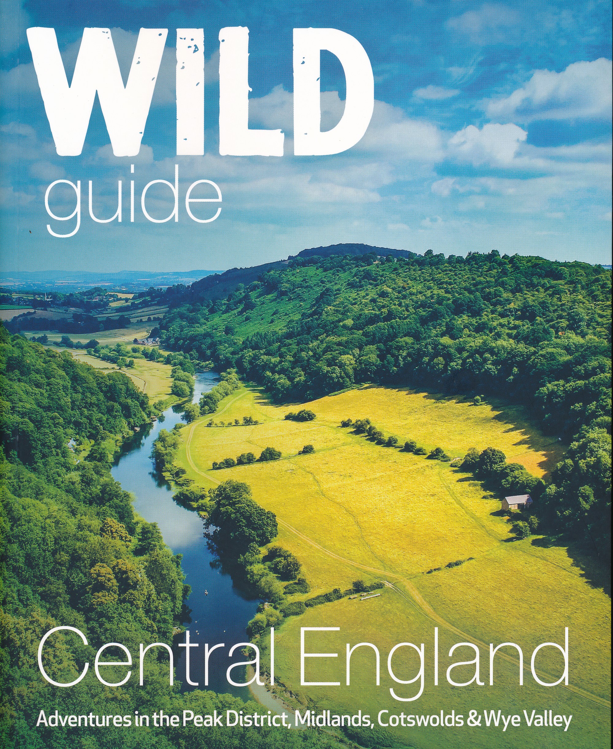
- Wild Guide Central England
- Adventures in the Peak District, Cotswolds, Midlands, Wye Valley, Welsh Marches and Lincolnshire Coast Read more
- Also available from:
- De Zwerver, Netherlands
De Zwerver
Netherlands
2020
Netherlands
2020
- Reisgids Central England - Centraal Engeland | Wild Things Publishing
- Adventures in the Peak District, Cotswolds, Midlands, Wye Valley, Welsh Marches and Lincolnshire Coast Read more


Stanfords
United Kingdom
2019
United Kingdom
2019
- Offa`s Dyke Path: Prestatyn To Chepstow
- The Offa`s Dyke Path is a magnificent National Trail that runs from the North Wales coast to the Severn Estuary following the line of Offa`s Dyke, an impressive 8th century earthwork along the English/Welsh border. The ever-changing landscape - the Wye Valley, the Black Mountains, the Shropshire Hills and the Clwydian Hills - is steeped in... Read more
- Also available from:
- The Book Depository, United Kingdom

The Book Depository
United Kingdom
2019
United Kingdom
2019
- Offa's Dyke Path (Trailblazer British Walking Guides) 2019
- Chepstow To Prestatyn & Prestatyn To Chepstow, Planning, Places to Stay, Places to Eat, 98 large-scale maps & guides to 52 towns and villages (Trailblazer British Walking Guides) Read more


Stanfords
United Kingdom
United Kingdom
- Brecon Beacons Eastern OS Explorer Map OL13 (paper)
- The eastern part of the Brecon Beacons National Park on a detailed topographic and GPS compatible map OL13, paper version, from the Ordnance Survey’s 1:25,000 Explorer series. Coverage includes Tredegar, Ebbw Vale, Abergavenny, Hay-on-Wye, the Black Mountains, Llangorse Lake, Sugar Loaf, Black Hill, Hay Bluff, sections of the Offa’s Dyke... Read more
- Also available from:
- The Book Depository, United Kingdom
- De Zwerver, Netherlands


Stanfords
United Kingdom
United Kingdom
- Herefordshire and Wye Valley - Short Walks
- Herefordshire is renowned for its hop-yards and cider-apple orchards, threaded by peaceful footpaths, lanes and byroads amidst rich pastures and wooded limestone ridges grazed by the famous terracotta-coloured cattle. But the county also has a wild side; the huge sandstone wall of the Black Mountains rises in the west, the Forest of Dean and... Read more
- Also available from:
- The Book Depository, United Kingdom

Bol.com
Netherlands
Netherlands
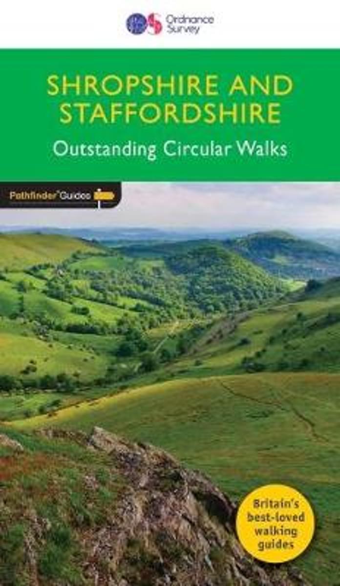
- SHROPSHIRE & STAFFORDSHIRE
- Britain's best loved walking guides brings you a brand new Pathfinder (R) Guide to Shropshire & Staffordshire Walks containing 28 fabulous walks exploring the unspoilt rural landscapes of Shropshire and Staffordshire from the Welsh borders to the fringes of the Peak District, and from the mosses and meres near the Cheshire border to Cannock... Read more
- Also available from:
- Bol.com, Belgium
Bol.com
Belgium
Belgium
- SHROPSHIRE & STAFFORDSHIRE
- Britain's best loved walking guides brings you a brand new Pathfinder (R) Guide to Shropshire & Staffordshire Walks containing 28 fabulous walks exploring the unspoilt rural landscapes of Shropshire and Staffordshire from the Welsh borders to the fringes of the Peak District, and from the mosses and meres near the Cheshire border to Cannock... Read more
Bol.com
Netherlands
Netherlands
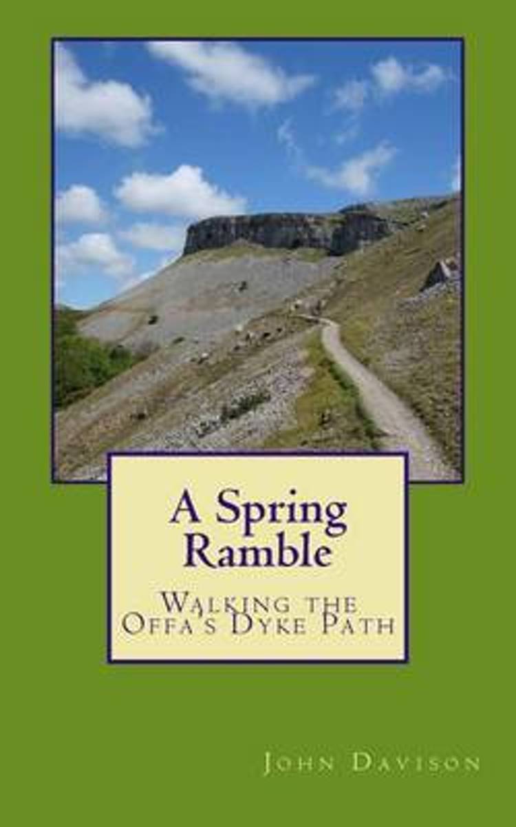
- A Spring Ramble
- Offa s Dyke. The border between England and Wales. The most impressive monument of its kind in Europe, now a national walking trail. 1,200 years old and 177 miles long. More ascent than Everest. The present-day peace and tranquillity of this beautiful, remote area belie its turbulent past. Follow the walk from sea to sea, past castles,... Read more
- Also available from:
- Bol.com, Belgium
Bol.com
Belgium
Belgium
- A Spring Ramble
- Offa s Dyke. The border between England and Wales. The most impressive monument of its kind in Europe, now a national walking trail. 1,200 years old and 177 miles long. More ascent than Everest. The present-day peace and tranquillity of this beautiful, remote area belie its turbulent past. Follow the walk from sea to sea, past castles,... Read more
Bol.com
Netherlands
Netherlands
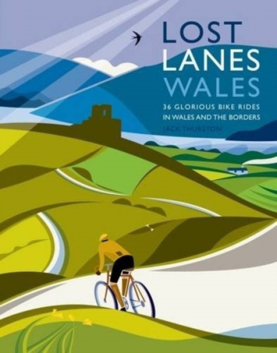
- Lost Lanes Wales
- Travelling at a leisurely pace Jack explores the Wales and the border counties taking in mountain summits, enchanted woodlands, wild seashores, shimmering lakes and ancient ways. Enjoy 36 rides with maps: * Ride on traffic free cycle tracks from the seashore into the heart of Snowdonia and the birthplace of British mountaineering. * Cruise from... Read more
- Also available from:
- Bol.com, Belgium
Bol.com
Belgium
Belgium
- Lost Lanes Wales
- Travelling at a leisurely pace Jack explores the Wales and the border counties taking in mountain summits, enchanted woodlands, wild seashores, shimmering lakes and ancient ways. Enjoy 36 rides with maps: * Ride on traffic free cycle tracks from the seashore into the heart of Snowdonia and the birthplace of British mountaineering. * Cruise from... Read more

Stanfords
United Kingdom
2016
United Kingdom
2016
- Offa`s Dyke Path
- This guidebook describes Offa`s Dyke Path National Trail, following the longest linear earthwork in Britain, running 177 miles along the English-Welsh border between Sedbury (near Chepstow) and Prestatyn on the north Wales Coast, linking the Severn Estuary and the Irish Sea, contouring above the Wye and Dee, visiting hillforts and Norman... Read more
- Also available from:
- The Book Depository, United Kingdom
- Bol.com, Netherlands
- Bol.com, Belgium
- De Zwerver, Netherlands

The Book Depository
United Kingdom
2016
United Kingdom
2016
- Offa's Dyke Path
- National Trail following the English-Welsh Border Read more
Bol.com
Netherlands
2016
Netherlands
2016
- Offa's Dyke Path
- This guidebook describes Offa's Dyke Path National Trail, following the longest linear earthwork in Britain, running 177 miles along the English-Welsh border between Sedbury (near Chepstow) and Prestatyn on the north Wales Coast, linking the Severn Estuary and the Irish Sea, contouring above the Wye and Dee, visiting hillforts and Norman... Read more
Bol.com
Belgium
2016
Belgium
2016
- Offa's Dyke Path
- This guidebook describes Offa's Dyke Path National Trail, following the longest linear earthwork in Britain, running 177 miles along the English-Welsh border between Sedbury (near Chepstow) and Prestatyn on the north Wales Coast, linking the Severn Estuary and the Irish Sea, contouring above the Wye and Dee, visiting hillforts and Norman... Read more
De Zwerver
Netherlands
2021
Netherlands
2021
- Wandelgids The Offa's Dyke Path - Wales | Cicerone
- This guidebook describes Offa's Dyke Path National Trail, a 177-mile long-distance walk along the English-Welsh border between Sedbury (near Chepstow) and Prestatyn. The guidebook is split into 12 stages with suggestions for planning alternative itineraries. With 1:25K OS map booklet. Read more
Maps

- Also available from:
- De Zwerver, Netherlands


Bol.com
Netherlands
Netherlands
- Offa's Dyke Path South
- Wandelkaart van het Zuidelijk deel van Offa's Dyke Path met uitsnedes van de route. Offa's Dyke Path is a National Trail. It runs along the border between Wales and England. Offa was a famous king of Mercia from 757 to 796, ruling an area stretching across a large part of England. Offa's Dyke Path runs from sea to sea - the Severn... Read more
- Also available from:
- Bol.com, Belgium
Bol.com
Belgium
Belgium
- Offa's Dyke Path South
- Wandelkaart van het Zuidelijk deel van Offa's Dyke Path met uitsnedes van de route. Offa's Dyke Path is a National Trail. It runs along the border between Wales and England. Offa was a famous king of Mercia from 757 to 796, ruling an area stretching across a large part of England. Offa's Dyke Path runs from sea to sea - the Severn... Read more
More maps…