Downs Link
Description
- Name Downs Link
- Length of trail 48 km, 30 miles
- Length in days 2 days
- Traildino grading EW, Easy walk, nature trail
30 miles, 48 km, 2 days
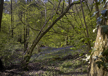
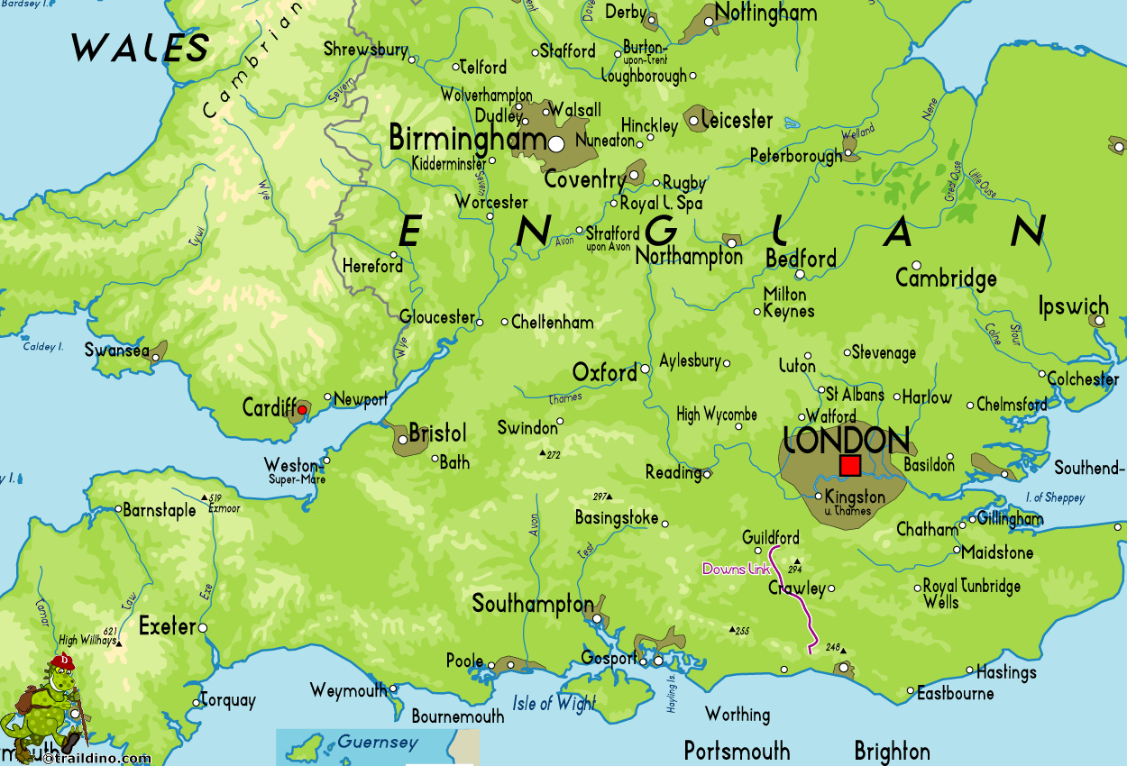
In order to connect the South Downs Way and the North Downs Way, two abandoned railway tracks were transformed into a path. The trail is 30 miles, 48 km long, and leads along pitturesque towns and old railway stations. The path is also used by cyclists, something to take into account.
Map
Links
Facts
Reports
Guides and maps
Lodging
Organisations
Tour operators
GPS
Other
Books

Stanfords
United Kingdom
2015
United Kingdom
2015
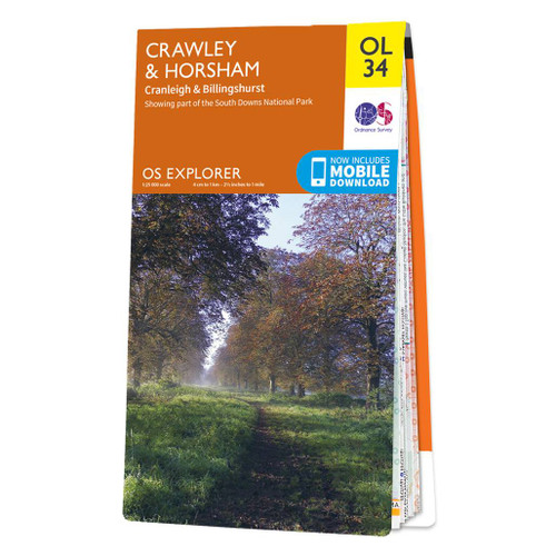
- Crawley & Horsham - Cranleigh & Billingshurst OS Explorer Map OL34 (paper)
- Crawley and Horsham area of Sussex and Surrey on a detailed topographic and GPS compatible map OL34, paper version, from the Ordnance Survey’s 1:25,000 Explorer series. Coverage extends from Cranleigh and Crawley in the north to Hickstead and Bedham, and includes Billinghurst, Nymans, part of the High Weald Area of Outstanding Natural Beauty,... Read more
- Also available from:
- The Book Depository, United Kingdom
- De Zwerver, Netherlands
» Click to close

Stanfords
United Kingdom
United Kingdom
- Crawley & Horsham - Cranleigh & Billingshurst OS Explorer Active Map OL34 (waterproof)
- Crawley and Horsham area of Sussex and Surrey on a detailed topographic and GPS compatible map OL34, waterproof version, from the Ordnance Survey’s 1:25,000 Explorer series. Coverage extends from Cranleigh and Crawley in the north to Hickstead and Bedham, and includes Billinghurst, Nymans, part of the High Weald Area of Outstanding Natural... Read more
- Also available from:
- The Book Depository, United Kingdom
Bol.com
Netherlands
Netherlands
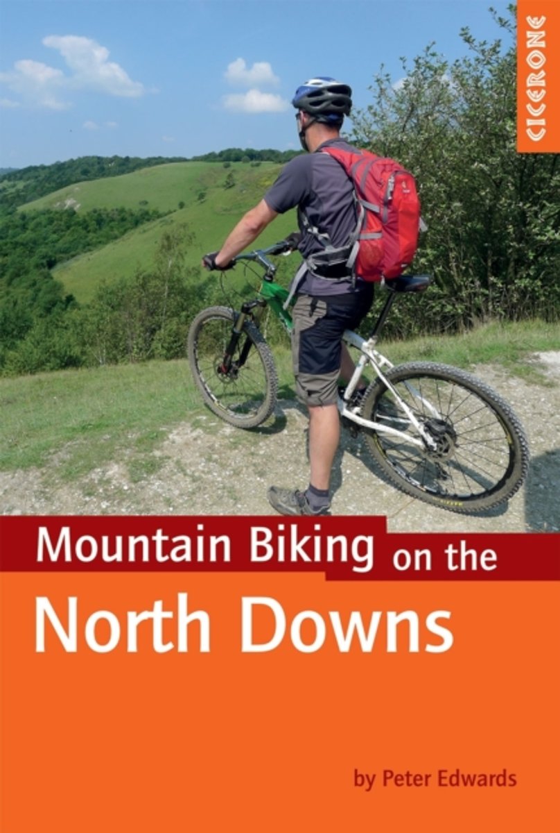
- Mountain Biking on the North Downs
- This guidebook covers 20 mountain biking routes set throughout the length and breadth of the North Downs, from Farnham in the west to Dover in the east, as well as a route along the Downs Link, which joins the North Downs Way with the South Downs Way. They range from 18.5km to 59km in length and up to 90% off road. The routes, illustrated with... Read more
- Also available from:
- Bol.com, Belgium

Bol.com
Belgium
Belgium
- Mountain Biking on the North Downs
- This guidebook covers 20 mountain biking routes set throughout the length and breadth of the North Downs, from Farnham in the west to Dover in the east, as well as a route along the Downs Link, which joins the North Downs Way with the South Downs Way. They range from 18.5km to 59km in length and up to 90% off road. The routes, illustrated with... Read more

Stanfords
United Kingdom
United Kingdom
- Railway Walks: GWR & SR
- Jeff Vinter, consultant to the BBC`s popular ”Railway Walks” series, here guides the walker along ten of the best railway paths in the south of England, ranging from the Camel Trail in scenic north Cornwall to the densely wooded tracks of the Forest of Dean, and taking in the Downs Link across the rolling countryside of West Sussex and Surrey,... Read more
- Also available from:
- Bol.com, Netherlands
- Bol.com, Belgium

Bol.com
Netherlands
Netherlands
- Railway Walks
- Jeff Vinter, consultant to the BBC's popular Railway Walks series, here guides the walker along ten of the best railway paths in the south of England, ranging from the Camel Trail in scenic north Cornwall to the densely wooded tracks of the Forest of Dean, and taking in the Downs Link across the rolling countryside of West Sussex and Surrey, as... Read more

Bol.com
Belgium
Belgium
- Railway Walks
- Jeff Vinter, consultant to the BBC's popular Railway Walks series, here guides the walker along ten of the best railway paths in the south of England, ranging from the Camel Trail in scenic north Cornwall to the densely wooded tracks of the Forest of Dean, and taking in the Downs Link across the rolling countryside of West Sussex and Surrey, as... Read more
Bol.com
Netherlands
Netherlands
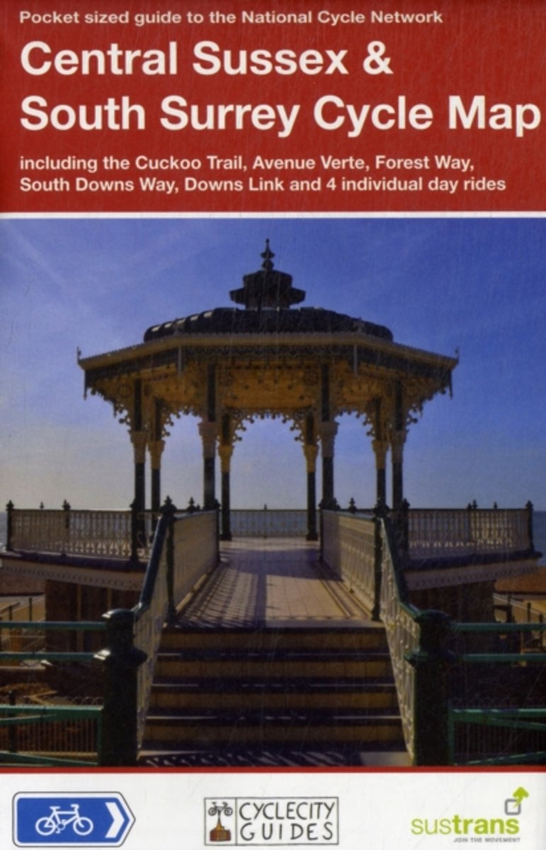
- Central Sussex & South Surrey Cycle Map
- Part of a series of pocket sized, folded maps intended for the the National Cycle Network which include clearly mapped on-road and traffic-free paths, easy to read contours and detailed town insets, this title includes maps in 1:110,000 scale; folded 155mm X 99mm; flat 792mm X 630mm. Read more
- Also available from:
- Bol.com, Belgium

Bol.com
Belgium
Belgium
- Central Sussex & South Surrey Cycle Map
- Part of a series of pocket sized, folded maps intended for the the National Cycle Network which include clearly mapped on-road and traffic-free paths, easy to read contours and detailed town insets, this title includes maps in 1:110,000 scale; folded 155mm X 99mm; flat 792mm X 630mm. Read more


