
Isle of Man Coastal Path
Description
- Name Isle of Man Coastal Path
- Length of trail 153 km, 95 miles
- Length in days 8 days
- Traildino grading EW, Easy walk, nature trail
Isle of Man Coastal Path, Raad ny Foillan, The Way of the Gull, 95 miles, 153 km
Circular trail on the Isle of Man, generally following the coastline. Good walk in spring for seabirds lovers. A true walkers paradise.
Select some tracks
☐Raad Ny Foillan, 158km
Links
Facts
Reports
Guides and maps
Lodging
Organisations
Tour operators
GPS
Other
Books

The Book Depository
United Kingdom
2018
United Kingdom
2018
- Isle of Man Coastal Path
- Raad Ny Foillan - The Way of the Gull; The Millennium and Herring Ways Read more
- Also available from:
- Bol.com, Netherlands
- Bol.com, Belgium
- De Zwerver, Netherlands
Bol.com
Netherlands
2018
Netherlands
2018
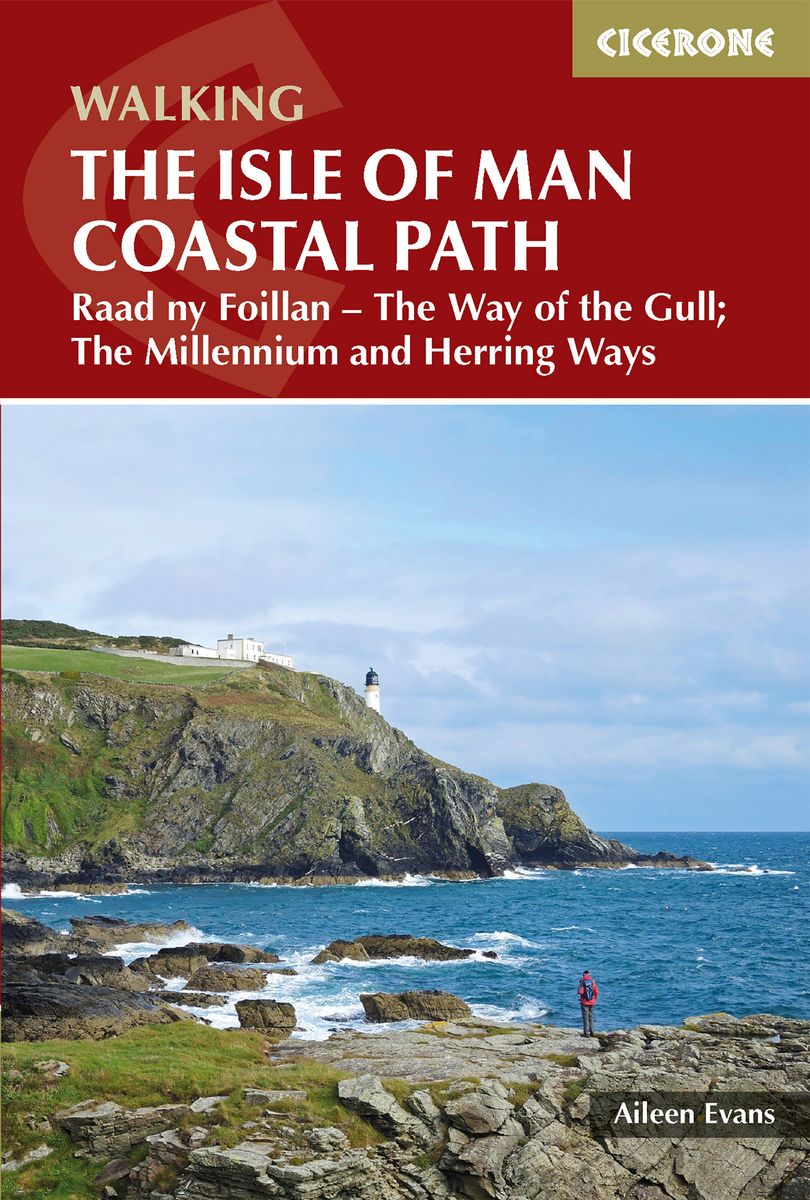
- Isle of Man Coastal Path
- This handy guidebook describes the 98 mile Isle of Man coastal path, Raad ny Foillan. The route never strays far from the sea and boasts spectacular scenery, from rugged sea cliffs and mountain moorland to beaches and glens. The Raad ny Foillan path can be completed in about a week. The Milennium Way and the Herring Way are also described. Read more
Bol.com
Belgium
2018
Belgium
2018
- Isle of Man Coastal Path
- This handy guidebook describes the 98 mile Isle of Man coastal path, Raad ny Foillan. The route never strays far from the sea and boasts spectacular scenery, from rugged sea cliffs and mountain moorland to beaches and glens. The Raad ny Foillan path can be completed in about a week. The Milennium Way and the Herring Way are also described. Read more
De Zwerver
Netherlands
2018
Netherlands
2018
- Wandelgids Walking guide Isle of Man Coastal Path | Cicerone
- Guidebook to walking the Isle of Man coastal path, the Way of the Gull (Raad ny Foillan). The spectacular 98 mile route is described in 9 stages and takes in beaches, glens, moorland and rugged sea cliffs. It can be walked in around a week. Two other paths, the Millennium Way (Bayr ny Ree) and the Herring Way (Bayr ny Skeddan), are also described. Read more
Maps

Stanfords
United Kingdom
United Kingdom
- Isle of Man 1874
- Map No. 95, Isle of Man 1874, in the Cassini Historical Series of old Ordnance Survey mapping of England and Wales at 1:50,000 in a format designed to offer a convenient comparison with the present day coverage from the OS, and most locations in three different editions. Old historical maps have been combined so that the sheet lines correspond... Read more
Stanfords
United Kingdom
United Kingdom
- Isle of Man 1921
- Map No. 95, Isle of Man 1925, in the Cassini Historical Series of old Ordnance Survey mapping of England and Wales at 1:50,000 in a format designed to offer a convenient comparison with the present day coverage from the OS, and most locations in three different editions. Old historical maps have been combined so that the sheet lines correspond... Read more