
Peddars Way and Norfolk Coast Path
Description
- Name Peddars Way and Norfolk Coast Path
- Length of trail 150 km, 93 miles
- Length in days 8 days
- Traildino grading EW, Easy walk, nature trail
 93 miles. 150 km.
National Trail
The Peddars Way and Norfolk Coast Path together got the National Trail status in 1991. The first runs in the interiors of Norfolk and follows an ancient Roman road, probably itself a continuation of earlier tracks. The "peddars" who followed the tracks in the Middle Ages have given the trail its name. Nowadays, most of the country is cultivated.
The second part if the path is totally different, following the coast South from the point the Peddars way hits the North Sea to Great Yarmouth. This coast is very scenic, offering cliffs, beaches, salt marshes as well as stone-built villages.
So this may be your perfect marriage. Longing for the sea when the dusty Roman Road is hot and dry, and longing for the shelter in the woods when a storm hits the coast.
Map

Links
Facts
Reports
Guides and maps
Lodging
Organisations
Tour operators
GPS
Other
Books

United Kingdom
2019
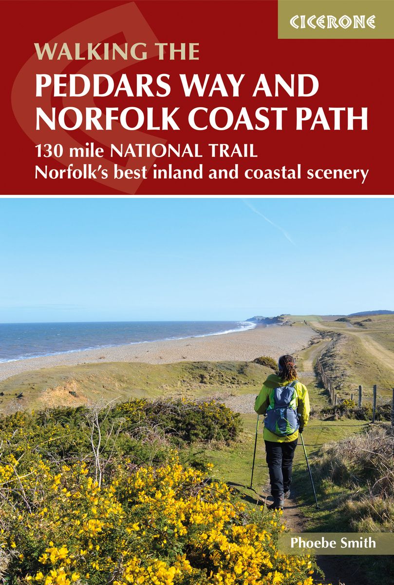
- The Peddars Way and Norfolk Coast Path
- 130 mile national trail - Norfolk's best inland and coastal scenery Read more
- Also available from:
- De Zwerver, Netherlands
Netherlands
2019
- Wandelgids The Peddars Way and Norfolk Coast Path | Cicerone
- The 130 mile Peddars Way and Norfolk Coast Path National Trail combines the best of inland and coastal walking, and is ideal for people new to long-distance walks. Beginning near Thetford, the route heads north west to near Hunstanton, then follows the heritage coast to Hopton-on-Sea, taking roughly one week to complete. Read more


United Kingdom
2021
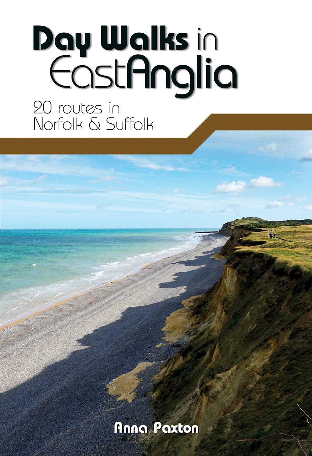
- Day Walks in East Anglia: 20 routes in Norfolk & Suffolk
- Day Walks in East Anglia features 20 routes between 5.7 and 13.9 miles (9.2km and 22.4km) in length, suitable for hillwalkers of all abilities. Researched and written by outdoor adventure expert Anna Paxton, this book covers walks around the must-see sites of East Anglia, including The Broads and Norfolk Coast Path, and takes you to... Read more
- Also available from:
- The Book Depository, United Kingdom
- De Zwerver, Netherlands

United Kingdom
2021
- Day Walks in East Anglia
- 20 routes in Norfolk & Suffolk Read more
Netherlands
2021
- Wandelgids Day Walks East Anglia | Vertebrate Publishing
- Day Walks in East Anglia features 20 routes between 5.7 and 13.9 miles (9.2km and 22.4km) in length, suitable for hillwalkers of all abilities. Researched and written by outdoor adventure expert Anna Paxton, this book covers walks around the must-see sites of East Anglia, including The Broads and Norfolk Coast Path, and takes you to... Read more

United Kingdom
- Thetford, Diss, Breckland & Wymondham OS Landranger Active Map 144 (waterproof)
- Norfolk around Thetford, Diss, Breckland and Wymondham, including the southern part of the Peddars Wat and Norfolk Coast Path long-distance trail, on a waterproof and tear-resistant OS Active version of map No. 144 from the Ordnance Survey’s Landranger series at 1:50,000, with contoured and GPS compatible topographic mapping plus tourist... Read more
- Also available from:
- The Book Depository, United Kingdom


- Also available from:
- De Zwerver, Netherlands
Netherlands
- Peddars Way and Norfolk Coast Path
- Running 93 miles from the heathland and forest on the Norfolk-Suffolk border, via stunning sandy beaches, picturesque villages and wild, empty salt marsh to the traditional seaside resort of Cromer on the north Norfolk coast, the Peddars Way and Norfolk Coast Path is a wonderfully varied and interesting National Trail. There is the... Read more
- Also available from:
- Bol.com, Belgium
Belgium
- Peddars Way and Norfolk Coast Path
- Running 93 miles from the heathland and forest on the Norfolk-Suffolk border, via stunning sandy beaches, picturesque villages and wild, empty salt marsh to the traditional seaside resort of Cromer on the north Norfolk coast, the Peddars Way and Norfolk Coast Path is a wonderfully varied and interesting National Trail. There is the... Read more
Netherlands
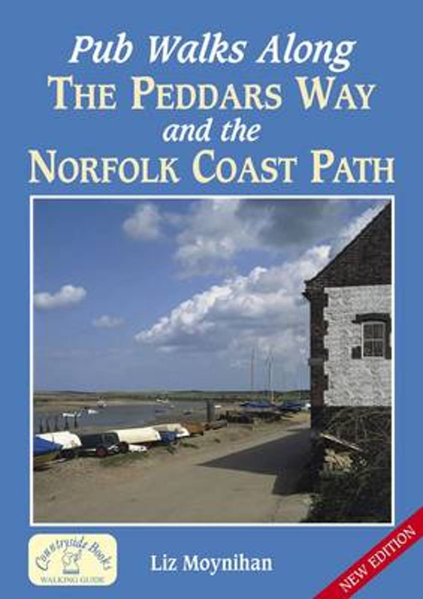
- Pub Walks Along the Peddars Way and the Norfolk Coast Path
- Based on these two long-distance footpaths, the twenty circular walks include routes at East Harling, Newton, Brancaster, Cley and Cromer. With sketch maps and photographs. Read more
- Also available from:
- Bol.com, Belgium
Belgium
- Pub Walks Along the Peddars Way and the Norfolk Coast Path
- Based on these two long-distance footpaths, the twenty circular walks include routes at East Harling, Newton, Brancaster, Cley and Cromer. With sketch maps and photographs. Read more
Netherlands
2011
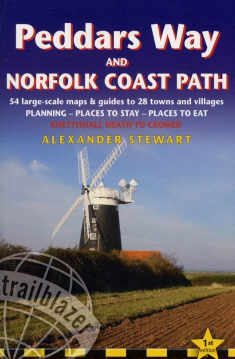
- Trailblazer Peddars Way and Norfolk Coast Path
- Practical guide to walking the Peddars Way and Norfolk Coast Path, a 93-mile (150km) trail that runs from Knettishall Heath Country Park on the Norfolk/Suffolk border and follows a Roman road to Holme-next-the-Sea. From here the trail hugs the beautiful Norfolk coastline through Holkham, Blakeney and Cley to end at Cromer.10 town plans and 50... Read more
- Also available from:
- Bol.com, Belgium
Belgium
2011
- Trailblazer Peddars Way and Norfolk Coast Path
- Practical guide to walking the Peddars Way and Norfolk Coast Path, a 93-mile (150km) trail that runs from Knettishall Heath Country Park on the Norfolk/Suffolk border and follows a Roman road to Holme-next-the-Sea. From here the trail hugs the beautiful Norfolk coastline through Holkham, Blakeney and Cley to end at Cromer.10 town plans and 50... Read more

United Kingdom
2015
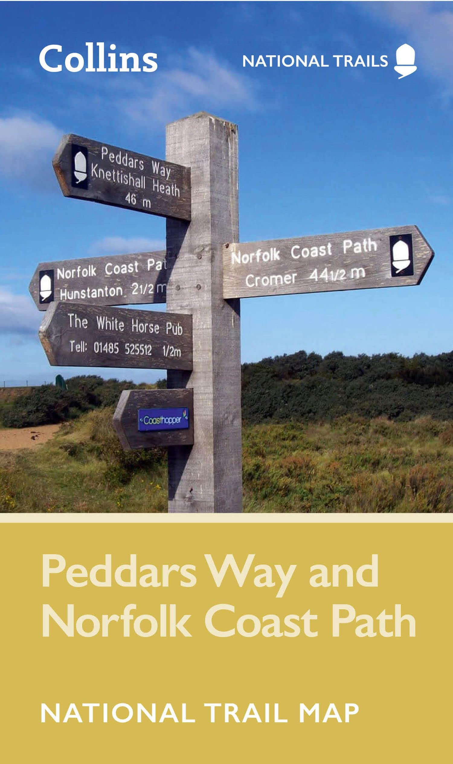
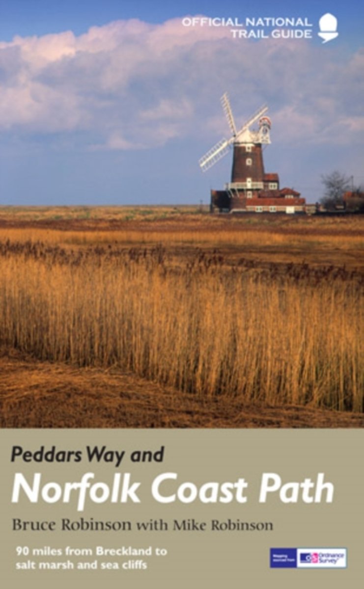
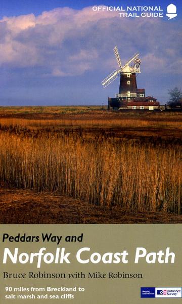
- Peddars Way and Norfolk Coast Path National Trail
- The Peddars Way and Norfolk Coast Path, a 150-km/92 mile route across Norfolk and around its northern coast between Hunstanton and Cromer, in a series of walking guides to the National Trails in England and Wales with colour extracts from the Ordnance Survey`s Explorer series at 1:25,000 showing points along the route cross-referenced to the... Read more
- Also available from:
- The Book Depository, United Kingdom
- Bol.com, Netherlands
- Bol.com, Belgium
- De Zwerver, Netherlands

United Kingdom
2015
- Peddars Way and Norfolk Coast Path
- National Trail Guide Read more
Netherlands
2015
- Peddars Way and Norfolk Coast Path
- Running 93 miles from the heathland and forest on the Norfolk-Suffolk border, via stunning sandy beaches, picturesque villages and wild, empty salt marsh to the traditional seaside resort of Cromer on the north Norfolk coast, the Peddars Way and Norfolk Coast Path is a wonderfully varied and interesting National Trail. There is the... Read more
Belgium
2015
- Peddars Way and Norfolk Coast Path
- Running 93 miles from the heathland and forest on the Norfolk-Suffolk border, via stunning sandy beaches, picturesque villages and wild, empty salt marsh to the traditional seaside resort of Cromer on the north Norfolk coast, the Peddars Way and Norfolk Coast Path is a wonderfully varied and interesting National Trail. There is the... Read more
Netherlands
2015
- Wandelgids Peddars Way and Norfolk Coast Path | Aurum Press
- Gedetailleerde routebeschrijving. De kaartjes zijn uitstekend (1:25.000 in kleur). Met goede achtergrondinformatie over de streek, maar de informatie omtrent accommodatie onderweg is zeer beperkt. Kijk daarvoor op de site van de engelse wandelvereninging: de Ramblers Organisation The Peddars Way and Norfolk Coast Path together form the 93-mile... Read more

United Kingdom
2019
- Thetford, Diss, Breckland & Wymondham OS Landranger Map 144 (paper)
- Norfolk around Thetford, Diss, Breckland and Wymondham, including the southern part of the Peddars Wat and Norfolk Coast Path long-distance trail, on a paper version of map No. 144 from the Ordnance Survey’s Landranger series at 1:50,000, with contoured and GPS compatible topographic mapping plus tourist information.MOBILE DOWNLOADS: As well as... Read more
- Also available from:
- De Zwerver, Netherlands


United Kingdom
2019
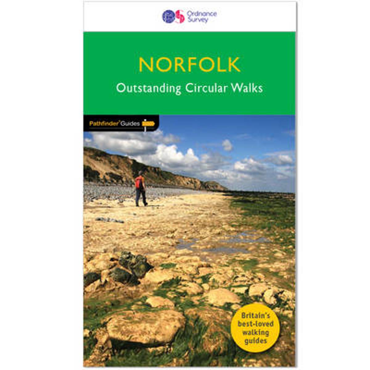
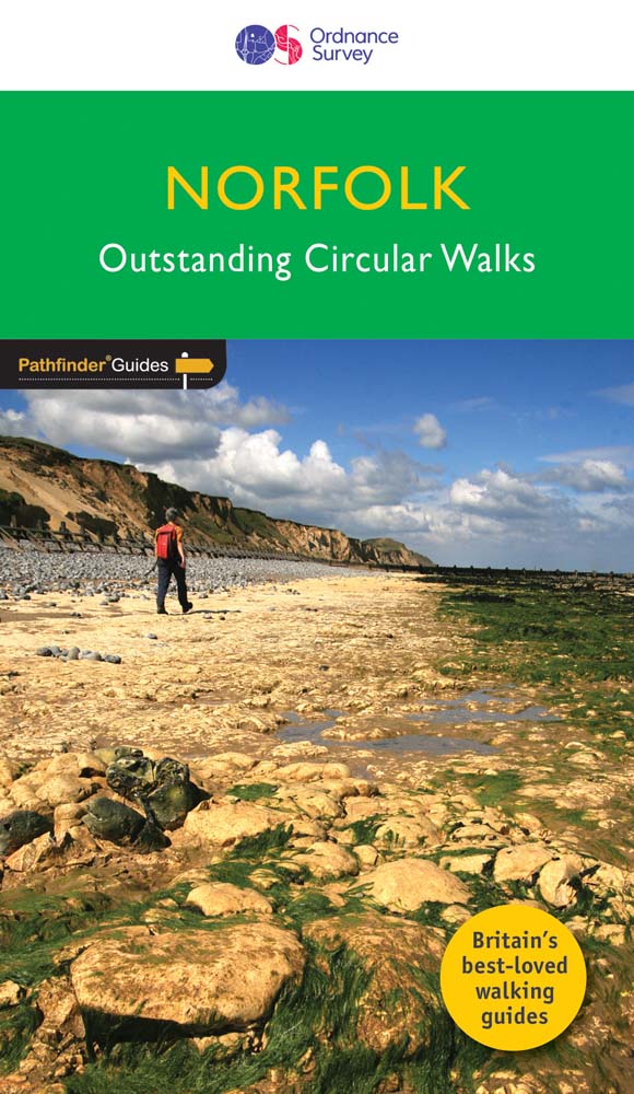
- Norfolk
- Pathfinder(R) Norfolk covering Castle Rising, Oxburgh Hall and Overstrand. This selection offers interest, regional variety and balance of routes in Norfolk providing the best walks in the area. From an easy stroll in Tyrrel`s Wood to the much more challenging walk in Fordham this volume contains something for everyone. Covering walks through... Read more
- Also available from:
- Bol.com, Netherlands
- Bol.com, Belgium
- De Zwerver, Netherlands
Netherlands
2019
- Norfolk
- Pathfinder(R) Norfolk covering Castle Rising, Oxburgh Hall and Overstrand. This selection offers interest, regional variety and balance of routes in Norfolk providing the best walks in the area. From an easy stroll in Tyrrel's Wood to the much more challenging walk in Fordham this volume contains something for everyone. Covering walks through... Read more
Belgium
2019
- Norfolk
- Pathfinder(R) Norfolk covering Castle Rising, Oxburgh Hall and Overstrand. This selection offers interest, regional variety and balance of routes in Norfolk providing the best walks in the area. From an easy stroll in Tyrrel's Wood to the much more challenging walk in Fordham this volume contains something for everyone. Covering walks through... Read more
Netherlands
2019
- Wandelgids 45 Pathfinder Guides Norfolk | Ordnance Survey
- Pathfinder(R) Norfolk covering Castle Rising, Oxburgh Hall and Overstrand. This selection offers interest, regional variety and balance of routes in Norfolk providing the best walks in the area. From an easy stroll in Tyrrel`s Wood to the much more challenging walk in Fordham this volume contains something for everyone. Covering walks through... Read more

United Kingdom
2017
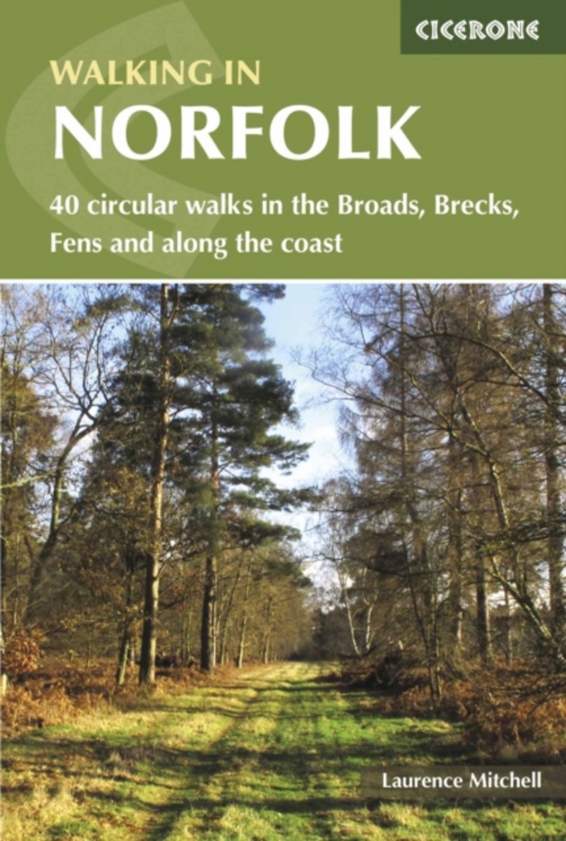
- Walking in Norfolk
- 40 circular walks in the Broads, Brecks, Fens and along the coast Read more
- Also available from:
- Bol.com, Netherlands
- Bol.com, Belgium
Netherlands
2017
- Walking in Norfolk
- This book describes 40 easy-to-moderate circular day walks, grouped by area: Northeast coast and the Broads; South Norfolk, the Yare and the Waveney; North Norfolk and coast; Central Norfolk and Breckland and West Norfolk and Fens. Each walk is described step-by-step, illustrated with 1:40K OS map extracts and packed with historical, geological... Read more
Belgium
2017
- Walking in Norfolk
- This book describes 40 easy-to-moderate circular day walks, grouped by area: Northeast coast and the Broads; South Norfolk, the Yare and the Waveney; North Norfolk and coast; Central Norfolk and Breckland and West Norfolk and Fens. Each walk is described step-by-step, illustrated with 1:40K OS map extracts and packed with historical, geological... Read more

United Kingdom
2018
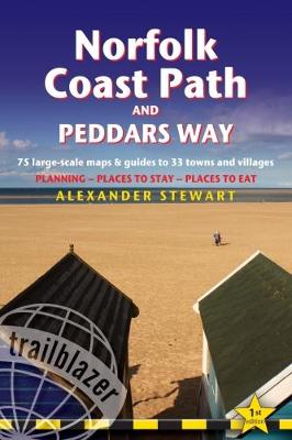
- Norfolk Coast Path & Peddars Way (Trailblazer British Walking Guides)
- 75 Large-Scale Trail Maps & Guides to 33 Towns & Villages: Planning, Places to Stay, Places to Eat Read more
- Also available from:
- Bol.com, Netherlands
- Bol.com, Belgium
Netherlands
2018
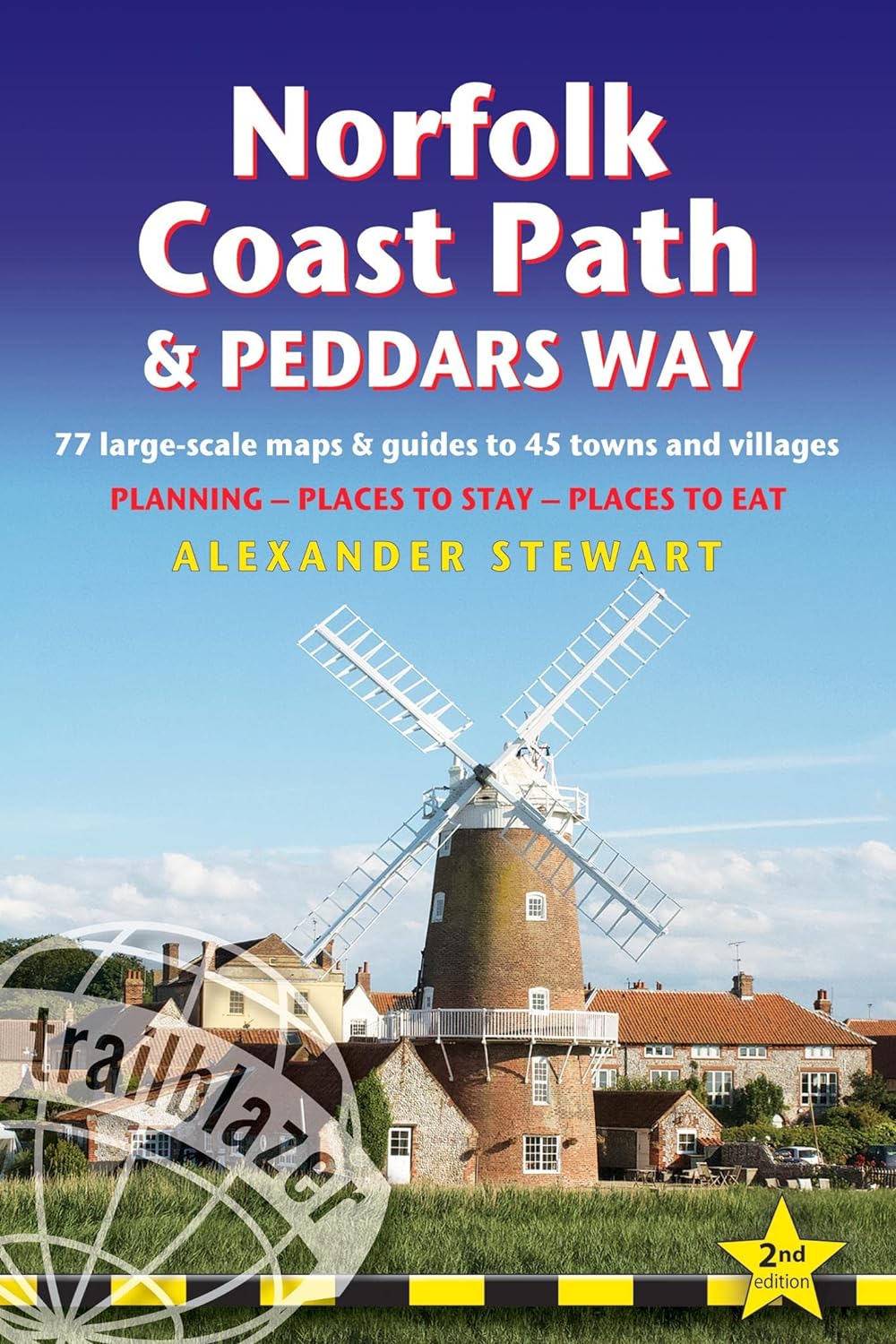
- Norfolk Coast Path & Peddars Way
- All-in-one, practical guide to walking the Norfolk Coast Path and Peddars Way, with 75 large-scale walking maps and guides to 33 towns and villages, planning, places to stay and places to eat. The Norfolk Coast Path & Peddars Way cover 130-miles of walking trails. The Peddars Way runs through East Anglia from Knettishall Heath on the... Read more
Belgium
2018
- Norfolk Coast Path & Peddars Way
- All-in-one, practical guide to walking the Norfolk Coast Path and Peddars Way, with 75 large-scale walking maps and guides to 33 towns and villages, planning, places to stay and places to eat. The Norfolk Coast Path & Peddars Way cover 130-miles of walking trails. The Peddars Way runs through East Anglia from Knettishall Heath on the... Read more
Netherlands
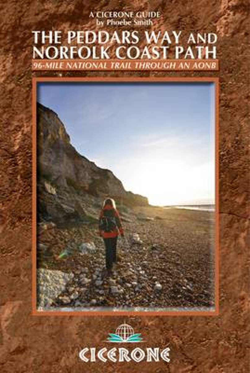
2013
- The Peddars Way and Norfolk Coast Path
- The Peddars Way and Norfolk Coast Path National Trail is an easy-to-follow 96-mile trail that combines the best of inland and coastal walking in Norfolk, and one that, being well waymarked, largely flat and within easy reach of public transport for most of its length, is ideal for people new to long-distance walks. Described here in eight... Read more
- Also available from:
- Bol.com, Belgium
Belgium
2013
- The Peddars Way and Norfolk Coast Path
- The Peddars Way and Norfolk Coast Path National Trail is an easy-to-follow 96-mile trail that combines the best of inland and coastal walking in Norfolk, and one that, being well waymarked, largely flat and within easy reach of public transport for most of its length, is ideal for people new to long-distance walks. Described here in eight... Read more
Maps

United Kingdom
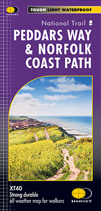
- Peddars Way & Norfolk Coast Path
- Detailed 1:40,000 scale maps of English and Welsh National trails and Scottish Great Trails”A great companion to a National Trail. Clear mapping and concise information enhance enjoyment of the journey.” Malcolm Hodgson, North York Moors NPA- The detail you need for sure navigation- Clear 1:40,000 scale mapping with full legend- Full legend-... Read more
- Also available from:
- De Zwerver, Netherlands
Netherlands
- Wandelkaart Peddars Way & Norfolk Coast Path | Harvey Maps
- Detailed 1:40,000 scale maps of English and Welsh National trails and Scottish Great Trails”A great companion to a National Trail. Clear mapping and concise information enhance enjoyment of the journey.” Malcolm Hodgson, North York Moors NPA- The detail you need for sure navigation- Clear 1:40,000 scale mapping with full legend- Full legend-... Read more