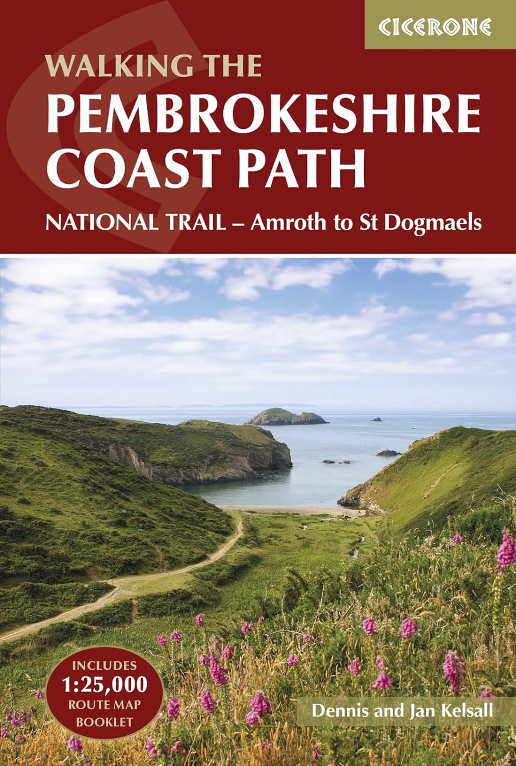
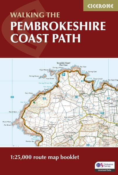
Pembrokeshire Coast Path
Description
- Name Pembrokeshire Coast Path
- Length of trail 299 km, 186 miles
- Length in days 15 days
- Traildino grading MW, Moderate walk, backpacking trail
- Hut tour grading T1, Walk
National Trail
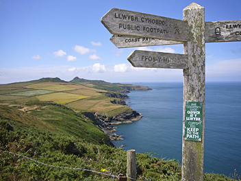
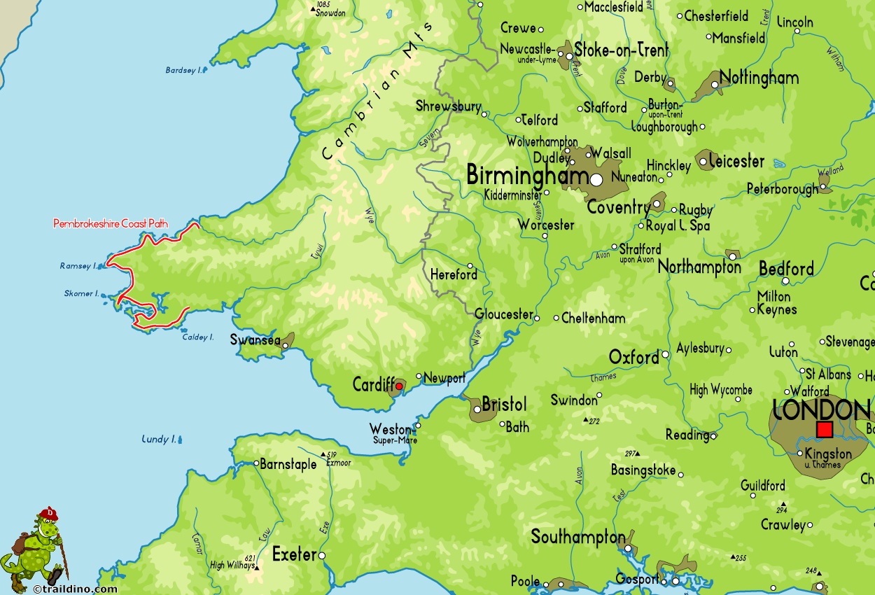
The Pembrokeshire Coast (National Park) lies in the Southwest corner of Wales. Like the Southwest of England, the coast is battered by the ocean for millions of years, forming the spectacular cliffs and inlets we do enjoy so much. This National Trail follows the cliff tops for most of the way. The heights may be not what you remember of the trail's big brother in the south, the remoteness is no less. Large parts are not accessible by road, and therefore unspoilt and wild.
Of course, during these two strenuous weeks you will have plenty opportunity to relax, be it in the village pub, be it stretched out on the beach.
Select some tracks
☐Pembrokeshire Coast Path, 313km
Map
Links
Facts
Reports
Guides and maps
Lodging
Organisations
Tour operators
GPS
Other
Books

Stanfords
United Kingdom
2021
United Kingdom
2021
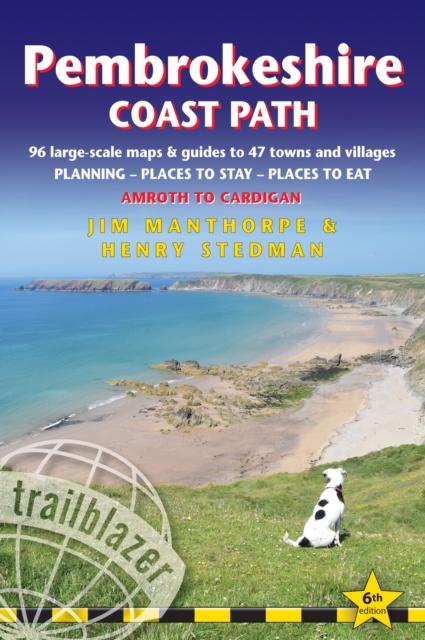
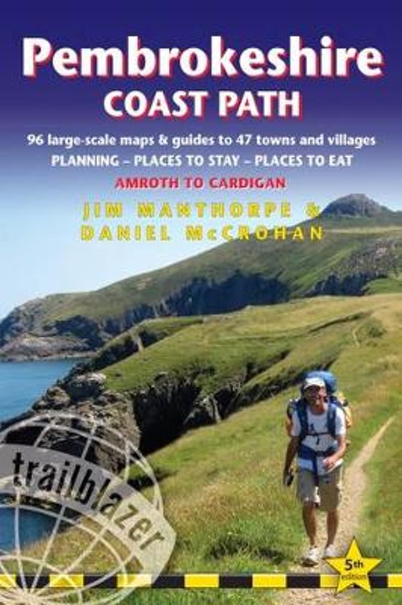
- Pembrokeshire Coast Path, Trailblazer 6
- The Pembrokeshire Coast Path follows a National Trail for 186 miles (299km) around the magnificent coastline of the Pembrokeshire Coast National Park in south-west Wales. Renowned for its unspoilt sandy beaches, secluded coves, tiny fishing villages and off-shore islands rich in bird and marine life, this National Trail provides some of the... Read more
- Also available from:
- The Book Depository, United Kingdom
- De Zwerver, Netherlands

The Book Depository
United Kingdom
2021
United Kingdom
2021
- Pembrokeshire Coast Path (Trailblazer British Walking Guides)
- Practical trekking guide to walking the whole path, Maps, Planning Places to Stay, Places to Eat Read more

The Book Depository
United Kingdom
United Kingdom
- Wales Coast Path 3
- Cardigan to Llanelli including Pembrokeshire Coast Path Read more

Stanfords
United Kingdom
2015
United Kingdom
2015
- South Pembrokeshire OS Explorer Map OL36 (paper)
- The southern coast of Pembrokeshire on a detailed topographic and GPS compatible map OL36, paper version, from the Ordnance Survey’s 1:25,000 Explorer series. Coverage includes Pembrokeshire Coast National Park, Haverforwest, Milford haven, Arberth, Tenby, Pembroke, Skomer Island, Caldey Island, the Pembrokeshire Coast Path National Trail which... Read more
- Also available from:
- The Book Depository, United Kingdom
- De Zwerver, Netherlands
» Click to close

Stanfords
United Kingdom
2021
United Kingdom
2021
- South Pembrokeshire OS Explorer Active Map OL36 (waterproof)
- The southern coast of Pembrokeshire on a detailed topographic and GPS compatible map OL36, waterproof version, from the Ordnance Survey’s 1:25,000 Explorer series. Coverage includes Pembrokeshire Coast National Park, Haverforwest, Milford haven, Arberth, Tenby, Pembroke, Skomer Island, Caldey Island, the Pembrokeshire Coast Path National Trail... Read more
- Also available from:
- The Book Depository, United Kingdom
- De Zwerver, Netherlands
» Click to close

Stanfords
United Kingdom
United Kingdom
- 1001 Walks: You must experience before you die
- 1001 Walks You Must Experience Before You Die is the perfect guide to the world`s most exhilarating walks. The ever-increasing passion for recreational walking is given fresh impetus with the creation of each new national park and wilderness area, the construction of every new walkway and the clearing of another fresh trail. The growth in... Read more
- Also available from:
- The Book Depository, United Kingdom
Bol.com
Netherlands
2010
Netherlands
2010
- The Big Walks of the South
- From the South Downs Way to the Pembrokeshire Coast Path, there is no better way to discover the spectacular diversity of southern Britain's landscape than on foot. Whether you enjoy exploring green and gently rolling valleys or tackling rugged cliff-top paths, there are walks here to keep you rambling all year round.An indefatigable walker,... Read more
- Also available from:
- Bol.com, Belgium

Bol.com
Belgium
2010
Belgium
2010
- The Big Walks of the South
- From the South Downs Way to the Pembrokeshire Coast Path, there is no better way to discover the spectacular diversity of southern Britain's landscape than on foot. Whether you enjoy exploring green and gently rolling valleys or tackling rugged cliff-top paths, there are walks here to keep you rambling all year round.An indefatigable walker,... Read more
- Also available from:
- Bol.com, Netherlands
- Bol.com, Belgium
- De Zwerver, Netherlands
Bol.com
Netherlands
2017
Netherlands
2017
- Pembrokeshire Coast Path
- 180 miles of cliff top, beach and cove around the magnificent Welsh coast, The Pembrokeshire Coast Path (Llwybr Arfordir Sir Benfro) is the 186-mile National Trail around Wales's magnificent southern headland. Winding around the coast from St Dogmaels to Amroth, it clings to soaring cliff tops, seeks out fabulous sweeping beaches like Marloes... Read more

Bol.com
Belgium
2017
Belgium
2017
- Pembrokeshire Coast Path
- 180 miles of cliff top, beach and cove around the magnificent Welsh coast, The Pembrokeshire Coast Path (Llwybr Arfordir Sir Benfro) is the 186-mile National Trail around Wales's magnificent southern headland. Winding around the coast from St Dogmaels to Amroth, it clings to soaring cliff tops, seeks out fabulous sweeping beaches like Marloes... Read more
De Zwerver
Netherlands
2017
Netherlands
2017
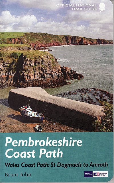
- Wandelgids Pembrokeshire Coast Path Wales, St. Dogmaels to Amroth | Aurum Press
- National Trail Guide Read more

Stanfords
United Kingdom
2014
United Kingdom
2014
- The Ceredigion and Snowdonia Coast Paths - Cardigan Bay on the Wales Coast Path
- Step-by-step guide to backpacking along the Ceredigion and Snowdonia Coast Paths, down the coast of mid-Wales between Porthmadog and the Llyn Peninsula and St Dogmaels and the Pembrokeshire Coast Path, 233km (147 miles) of varied long-distance walking to fill an extended fortnight`s holiday or a series of long weekends and day walks. The route... Read more
- Also available from:
- The Book Depository, United Kingdom
- Bol.com, Netherlands
- Bol.com, Belgium
- De Zwerver, Netherlands

The Book Depository
United Kingdom
2014
United Kingdom
2014
- The Ceredigion and Snowdonia Coast Paths
- The Wales Coast Path from Porthmadog to St Dogmaels Read more
Bol.com
Netherlands
2014
Netherlands
2014
- The Ceredigion and Snowdonia Coast Paths
- As part of the Wales Coast Path, the Ceredigion Coast Path and Snowdonia Coast Path trace a curve of 233km (145 miles) of coastal and inland walking down Cardigan Bay. This guidebook describes a 16-stage guide to the walk from Porthmadog to St Dogmaels covering the trail between the Llyn Peninsula and the Pembrokeshire Coast Path. The route is... Read more

Bol.com
Belgium
2014
Belgium
2014
- The Ceredigion and Snowdonia Coast Paths
- As part of the Wales Coast Path, the Ceredigion Coast Path and Snowdonia Coast Path trace a curve of 233km (145 miles) of coastal and inland walking down Cardigan Bay. This guidebook describes a 16-stage guide to the walk from Porthmadog to St Dogmaels covering the trail between the Llyn Peninsula and the Pembrokeshire Coast Path. The route is... Read more
De Zwerver
Netherlands
2014
Netherlands
2014
- Wandelgids Wales: The Ceredigion and Snowdonia Coast Paths | Cicerone
- As part of the Wales Coast Path, the Ceredigion Coast Path and Snowdonia Coast Path trace a curve of 233km (145 miles) of coastal and inland walking down Cardigan Bay. This guidebook describes a 16-stage guide to the walk from Porthmadog to St Dogmaels covering the trail between the Lleyn Peninsula and the Pembrokeshire Coast Path. Read more
Bol.com
Netherlands
2017
Netherlands
2017
- Pembrokeshire Coast Path
- Practical guidebook to walking the Pembrokeshire Coast Path. Includes maps, accommodation, where to eat, what to see along the coastal path, public transport information. 102 maps: 96 large-scale walking maps, 6 town plans, 10 stage with trail profiles and 2 overview. Downloadable GPS waypoints. Read more
- Also available from:
- Bol.com, Belgium

Bol.com
Belgium
2017
Belgium
2017
- Pembrokeshire Coast Path
- Practical guidebook to walking the Pembrokeshire Coast Path. Includes maps, accommodation, where to eat, what to see along the coastal path, public transport information. 102 maps: 96 large-scale walking maps, 6 town plans, 10 stage with trail profiles and 2 overview. Downloadable GPS waypoints. Read more

Stanfords
United Kingdom
2017
United Kingdom
2017
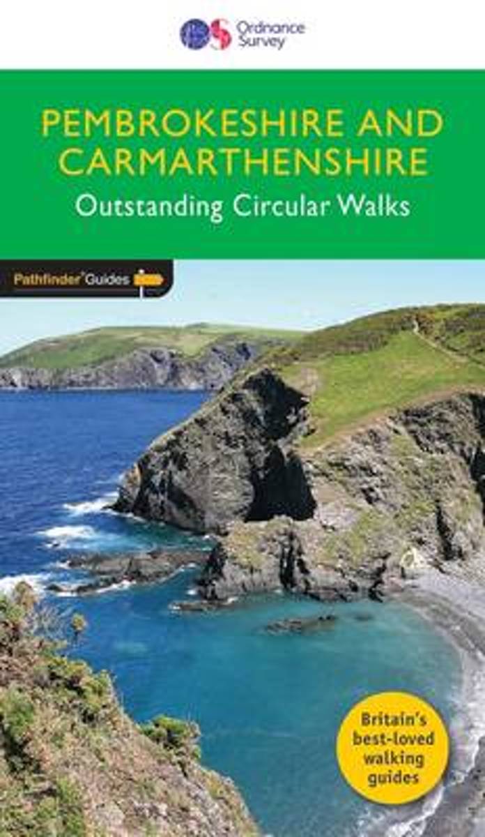
- Pembrokeshire & Carmarthenshire
- Although deep in South Wales, Pembrokeshire and Carmarthenshire have a strong English influence, but their most striking feature, from the point of view of the walker, is that they contain some of the most spectacular coastal scenery and finest stretches of coast path in Britain. Although the walks in this guide inevitably concentrate on the... Read more
- Also available from:
- The Book Depository, United Kingdom
- Bol.com, Netherlands
- Bol.com, Belgium
- De Zwerver, Netherlands

The Book Depository
United Kingdom
2017
United Kingdom
2017
- Pembrokeshire & Carmarthenshire
- Although deep in South Wales, Pembrokeshire and Carmarthenshire have a strong English influence, but their most striking feature, from the point of view of the walker, is that they contain some of the most spectacular coastal scenery and finest stretches of coast path in Britain. Although the walks in this guide inevitably concentrate on the... Read more
Bol.com
Netherlands
2017
Netherlands
2017
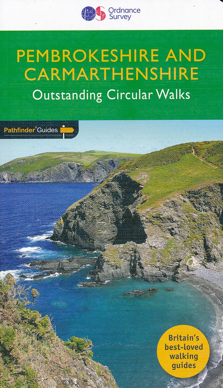
- Pembrokeshire & Carmarthenshire
- Although deep in South Wales, Pembrokeshire and Carmarthenshire have a strong English influence, but their most striking feature, from the point of view of the walker, is that they contain some of the most spectacular coastal scenery and finest stretches of coast path in Britain. Although the walks in this guide inevitably concentrate on the... Read more

Bol.com
Belgium
2017
Belgium
2017
- Pembrokeshire & Carmarthenshire
- Although deep in South Wales, Pembrokeshire and Carmarthenshire have a strong English influence, but their most striking feature, from the point of view of the walker, is that they contain some of the most spectacular coastal scenery and finest stretches of coast path in Britain. Although the walks in this guide inevitably concentrate on the... Read more
De Zwerver
Netherlands
2017
Netherlands
2017
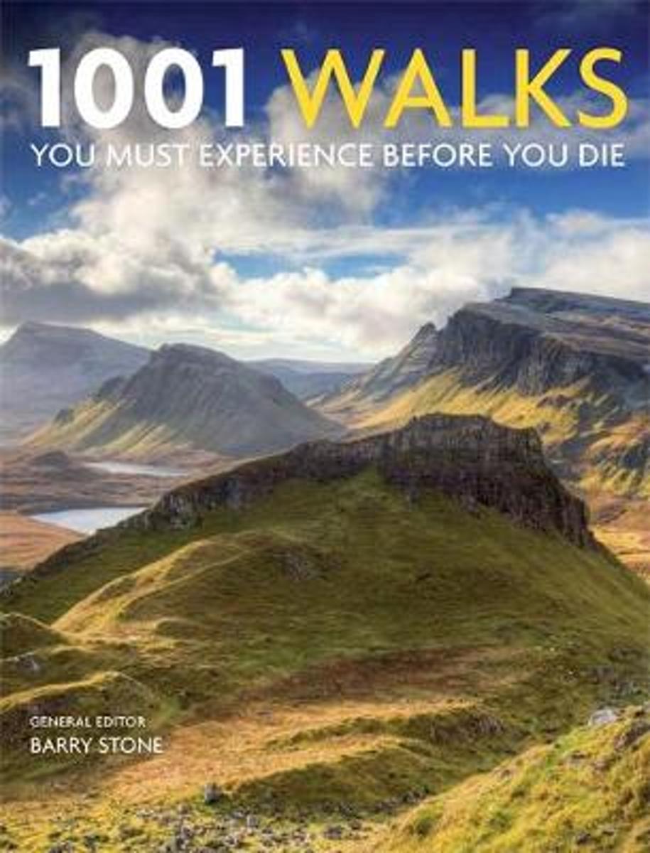
- Wandelgids 34 Pathfinder Guides Pembrokeshire & Carmarthenshire | Ordnance Survey
- Although deep in South Wales, Pembrokeshire and Carmarthenshire have a strong English influence, but their most striking feature, from the point of view of the walker, is that they contain some of the most spectacular coastal scenery and finest stretches of coast path in Britain. Although the walks in this guide inevitably concentrate on the... Read more
- Also available from:
- Bol.com, Belgium
Bol.com
Netherlands
Netherlands
- 1001 Walks
- 1001 Walks You Must Experience Before You Die features wide-ranging, carefully chosen routes varying from the rugged delights of the Pembrokeshire Coastal Path to the wilderness of Jamaica, and the Harz Witches' Trail high up in the German mountains. The hand-picked excursions take in mountain passes, woodland paths, ancient Native-American... Read more
- Also available from:
- Bol.com, Belgium

Bol.com
Belgium
Belgium
- 1001 Walks
- 1001 Walks You Must Experience Before You Die features wide-ranging, carefully chosen routes varying from the rugged delights of the Pembrokeshire Coastal Path to the wilderness of Jamaica, and the Harz Witches' Trail high up in the German mountains. The hand-picked excursions take in mountain passes, woodland paths, ancient Native-American... Read more
Maps

Stanfords
United Kingdom
United Kingdom
- North Pembrokeshire OS Explorer Map OL35 (paper)
- The northern coast of Pembrokeshire between Cardigan and St Davids on a detailed topographic and GPS compatible map OL35, paper version, from the Ordnance Survey’s 1:25,000 Explorer series. Coverage includes Pembrokeshire Coast National Park, Goodwick, Fishguard, Llys-y-fran Reservoir, Ramsey Island, the Pembrokeshire Coast Path National Trail... Read more

Stanfords
United Kingdom
United Kingdom
- England Coast Path Adventure Map - Minehead to Brean Down
- The A-Z Adventure Series of maps combines the best of OS and A-Z, creating the perfect companion for walkers, off-road cyclists, horse riders and anyone wishing to explore the great outdoors.This official Minehead to Brean Down Adventure Map covers a 58 mile (93km) section of the England Coast Path, a new National Trail around England`s coast.... Read more

Stanfords
United Kingdom
United Kingdom
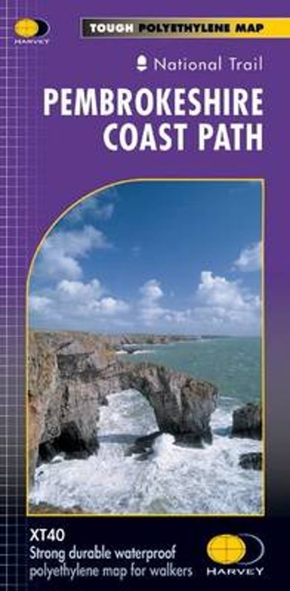
- Pembrokeshire Coast Path Harvey National Trail XT40
- Pembrokeshire Coast Path, a 265km / 165 mile section of the Wales Coast Path, presented at 1:40,000 on a light, waterproof and tear-resistant map from Harvey Map Services. The route is shown on nine panels.Maps in the Harvey’s series covering Great Britain’s national trails and other long-distance footpaths are printed on light, waterproof and... Read more
- Also available from:
- Bol.com, Netherlands
- Bol.com, Belgium
Bol.com
Netherlands
Netherlands
- Pembroke Coast Path XT40
- Pembrokeshire Coast Path, a 265km / 165 mile section of the Wales Coast Path, presented at 1:40,000 on a light, waterproof and tear-resistant map from Harvey Map Services. The route is shown on nine panels.Maps in the Harvey Read more

Bol.com
Belgium
Belgium
- Pembroke Coast Path XT40
- Pembrokeshire Coast Path, a 265km / 165 mile section of the Wales Coast Path, presented at 1:40,000 on a light, waterproof and tear-resistant map from Harvey Map Services. The route is shown on nine panels.Maps in the Harvey Read more
Stanfords
United Kingdom
2017
United Kingdom
2017
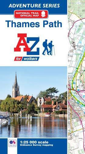
- Thames Path A-Z Adventure Atlas
- The A-Z Adventure series features the accuracy and quality of Ordnance Survey`s Explorer mapping in a convenient book, therefore eliminating the need to fold and re-fold a large sheet map to the desired area. OS Explorer is Ordnance Survey`s most detailed mapping at a scale of 1:25 000 showing public rights of way, open access land, national... Read more
- Also available from:
- Bol.com, Netherlands
- Bol.com, Belgium

Bol.com
Netherlands
2017
Netherlands
2017
- Thames Path Adventure Atlas
- The A-Z Adventure series features the accuracy and quality of Ordnance Survey`s Explorer mapping in a convenient book, therefore eliminating the need to fold and re-fold a large sheet map to the desired area. OS Explorer is Ordnance Survey`s most detailed mapping at a scale of 1:25 000 showing public rights of way, open access land, national... Read more

Bol.com
Belgium
2017
Belgium
2017
- Thames Path Adventure Atlas
- The A-Z Adventure series features the accuracy and quality of Ordnance Survey`s Explorer mapping in a convenient book, therefore eliminating the need to fold and re-fold a large sheet map to the desired area. OS Explorer is Ordnance Survey`s most detailed mapping at a scale of 1:25 000 showing public rights of way, open access land, national... Read more

Stanfords
United Kingdom
United Kingdom
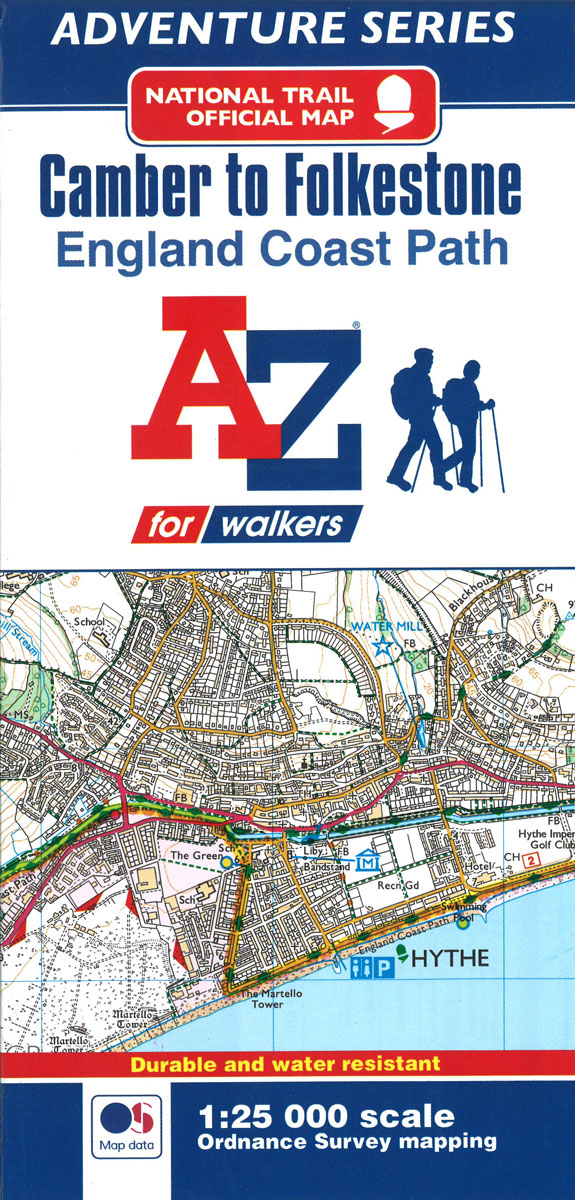
- England Coast Path - Camber to Folkestone Adventure Map
- The A-Z Adventure Series of maps combines the best of OS and A-Z, creating the perfect companion for walkers, off-road cyclists, horse riders and anyone wishing to explore the great outdoors.This official Camber to Folkestone Adventure Map section of the England Coast Path, a new National Trail around England`s coast. More than just a path, it... Read more
- Also available from:
- Bol.com, Netherlands
- Bol.com, Belgium
Bol.com
Netherlands
Netherlands
- England Coast Path Camber to Folkestone Adventure Map
- The A-Z Adventure Series of maps combines the best of OS and A-Z, creating the perfect companion for walkers, off-road cyclists, horse riders and anyone wishing to explore the great outdoors.This official Camber to Folkestone Adventure Map section of the England Coast Path, a new National Trail around England`s coast. More than just a path, it... Read more

Bol.com
Belgium
Belgium
- England Coast Path Camber to Folkestone Adventure Map
- The A-Z Adventure Series of maps combines the best of OS and A-Z, creating the perfect companion for walkers, off-road cyclists, horse riders and anyone wishing to explore the great outdoors.This official Camber to Folkestone Adventure Map section of the England Coast Path, a new National Trail around England`s coast. More than just a path, it... Read more
Bol.com
Netherlands
Netherlands
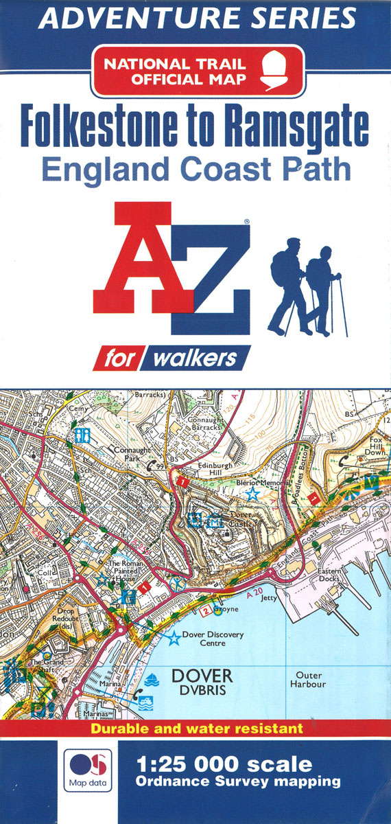
- England Coast Path Folkestone to Ramsgate Adventure Map
- The A-Z Adventure Series of maps combines the best of OS and A-Z, creating the perfect companion for walkers, off-road cyclists, horse riders and anyone wishing to explore the great outdoors.This official Folkestone to Ramsgate Adventure Map section of the England Coast Path, a new National Trail around England`s coast. More than just a path,... Read more
- Also available from:
- Bol.com, Belgium

Bol.com
Belgium
Belgium
- England Coast Path Folkestone to Ramsgate Adventure Map
- The A-Z Adventure Series of maps combines the best of OS and A-Z, creating the perfect companion for walkers, off-road cyclists, horse riders and anyone wishing to explore the great outdoors.This official Folkestone to Ramsgate Adventure Map section of the England Coast Path, a new National Trail around England`s coast. More than just a path,... Read more
Bol.com
Netherlands
2013
Netherlands
2013
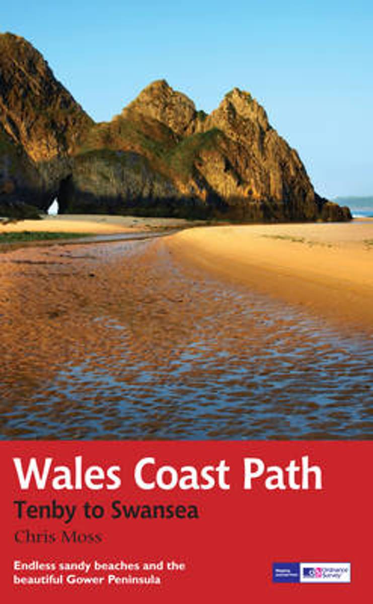
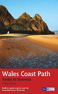
- Wales Coast Path
- 2012 saw the opening of the entire Welsh coastline as an official long-distance footpath. Now, to complement its existing National Trail Guide to the Pembrokeshire Coast Path, which makes up the section of the Path from Fishguard to just beyond Tenby, Aurum publishes a completely new guide to the other most scenic and popular stretch of the... Read more
- Also available from:
- Bol.com, Belgium
- De Zwerver, Netherlands

Bol.com
Belgium
2013
Belgium
2013
- Wales Coast Path
- 2012 saw the opening of the entire Welsh coastline as an official long-distance footpath. Now, to complement its existing National Trail Guide to the Pembrokeshire Coast Path, which makes up the section of the Path from Fishguard to just beyond Tenby, Aurum publishes a completely new guide to the other most scenic and popular stretch of the... Read more
De Zwerver
Netherlands
2013
Netherlands
2013
- Wandelgids Wales Coast Path: Tenby-Swansea | Aurum Press
- 2012 saw the opening of the entire Welsh coastline as an official long-distance footpath. Now, to complement its existing National Trail Guide to the Pembrokeshire Coast Path, which makes up the section of the Path from Fishguard to just beyond Tenby, Aurum publishes a completely new guide to the other most scenic and popular stretch of the... Read more


