
Thames Path
Description
- Name Thames Path
- Length of trail 290 km, 180 miles
- Length in days 15 days
- Traildino grading LW, Light walk, countryside walk
 180 miles, 288 km, 15 days
National Trail
Imagine you start your walk early in the morning, inhalating the sparkling smell of damp leaves, listening to the rooster's crow, and gradually you enter a totally different world, the bustle of a big city, the dirt and noise of an urban landscape. A wonderful transition.
Such a path is the Thames Path, a National Trail of 180 miles, 288 km long. The path starts at the Thames Barrier, which will hopefully protect London against the rising seas. The first day's walk to the west, along the meandering River Thames, will bring you into the very heart of London. And eleven days later, at least if you go move on, your walk will end at the source of the Thames, in the pretty Cotswolds, near Thames Head.
In the 19th century there was a towpath all along the River. These paths, on which the horses walked pulling boats, had fallen into disuse in the course of time. To create our Thames Path, the towpaths were restored, a costly operation. Where ferries are absence in these days, new foot bridges have been constructed.
Besides London, you will pass through many other cities. Oxford is one of them. If you are the guy or girl who loves exploring cities and historic buildings, eleven days will not be enough to finish this hike.
During your walk you will see a variety of boats and vessels on England's Royal River. Not for commercial use or even raids, as it was long ago, but for enjoyment only.
Map

Links
Facts
Reports
Guides and maps
Lodging
Organisations
Tour operators
GPS
Other
Books

United Kingdom
- River Thames & Thames Path Heron Map
- This tourist map of the River Thames and Thames Path covers from its source, just outside Kemble in Gloucestershire, to the Thames Barrier at 1:55,000, with detailed town plans of Lechlade, Oxford, Abingdon, Wallingford, Henley-on-Thames, central Reading, Windsor and Eton, Marlow and Kingston upon Thames at 1:12,500. The Thames and Severn Canal... Read more

United Kingdom
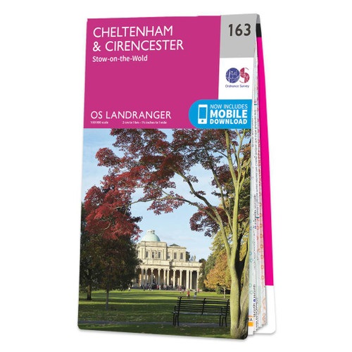
- Cheltenham, Cirencester & Stow-on-the-Wold OS Landranger Active Map 163 (waterproof)
- Cheltenham and Cirencester area, including sections of the Thames Path, the Cotswold Way and the E2 European Long-distance Path, on a waterproof and tear-resistant OS Active version of map No. 163 from the Ordnance Survey’s Landranger series at 1:50,000, with contoured and GPS compatible topographic mapping plus tourist information.MOBILE... Read more

United Kingdom
- Oxford, Chipping Norton & Bicester OS Landranger Active Map 164 (waterproof)
- Oxford area, including sections of the Thames Path and the E2 European Long-distance Path, on a waterproof and tear-resistant OS Active version of map No. 164 from the Ordnance Survey’s Landranger series at 1:50,000, with contoured and GPS compatible topographic mapping plus tourist information.MOBILE DOWNLOADS: As well as the physical edition... Read more

United Kingdom
2016
- The Thames Path Cicerone Map Booklet
- The Thames Path from the the river`s source to Erith in south-east London on mapping at 1:25,000 from the Ordnance Survey’s Explorer series in a pocket-size booklet from Cicerone Press. The 288km / 180-mile trail is presented with a route profile, plus summaries for each section showing GPS coordinates for the start and finish, distance and... Read more

United Kingdom
2018
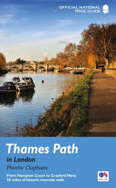
- Thames Path in London
- From Hampton Court to Crayford Ness: 50 miles of historic riverside walk Read more
- Also available from:
- De Zwerver, Netherlands
Netherlands
2018
- Wandelgids Thames Path in London | Aurum Press
- From Hampton Court to Crayford Ness: 50 miles of historic riverside walk Read more

United Kingdom
2016
- Oxford, Chipping Norton & Bicester OS Landranger Map 164 (paper)
- Oxford area, including sections of the Thames Path and the E2 European Long-distance Path, on a paper version of map No. 164 from the Ordnance Survey’s Landranger series at 1:50,000, with contoured and GPS compatible topographic mapping plus tourist information.MOBILE DOWNLOADS: As well as the physical edition of the map, each Landranger title... Read more
- Also available from:
- The Book Depository, United Kingdom
- De Zwerver, Netherlands


Netherlands
2016

United Kingdom
2023
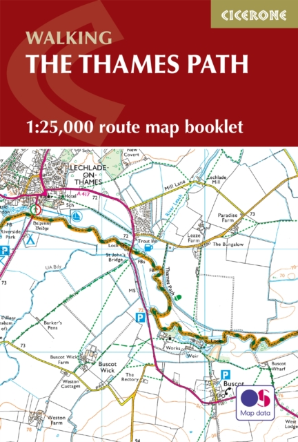
- The Thames Path Map Booklet
- 1:25,000 OS Route Map Booklet Read more
- Also available from:
- De Zwerver, Netherlands
Netherlands
2023
- Wandelgids The Thames Path | Cicerone
- 1:25,000 OS Route Map Booklet Read more

United Kingdom
- London's Waterside Walks
- 21 Walks Along the City's Most Interesting Rivers, Canals & Docks Read more

United Kingdom
- Thames Path Walk
- Water at source with 190 pictures illustrate a story for visitors and stay at home readers Read more

United Kingdom
- Swindon, Devizes, Marlborough & Trowbridge OS Landranger Active Map 173 (waterproof)
- Swindon - Devizes area, including the westernmost section of the Ridgeway and part of the Thames Path, on a waterproof and tear-resistant OS Active version of map No. 173 from the Ordnance Survey’s Landranger series at 1:50,000, with contoured and GPS compatible topographic mapping plus tourist information.MOBILE DOWNLOADS: As well as the... Read more
- Also available from:
- The Book Depository, United Kingdom


United Kingdom
2022
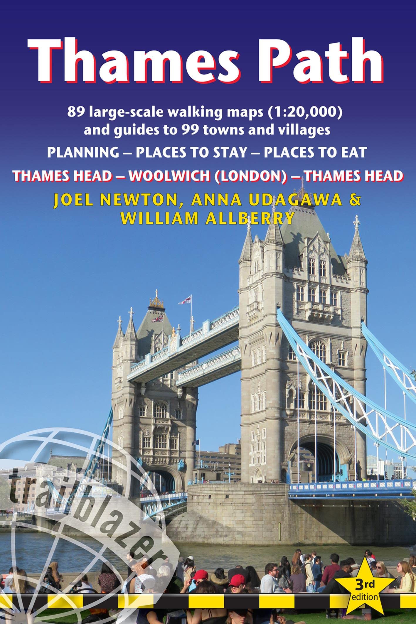
- Thames Path (Trailblazer British Walking Guides)
- Thames Head to Woolwich (London) & London to Thames Head: 89 Large-Scale Walking Maps & Guides to 99 Towns & Villages: Planning, Places to Stay, Places to Eat Read more
- Also available from:
- De Zwerver, Netherlands
Netherlands
2022
- Wandelgids Thames Path | Trailblazer Guides
- Thames Head to Woolwich (London) & London to Thames Head: 89 Large-Scale Walking Maps & Guides to 99 Towns & Villages: Planning, Places to Stay, Places to Eat Read more

United Kingdom
- Reading, Windsor, Henley-on-Thames & Bracknell OS Landranger Active Map 175 (waterproof)
- Reading – Windsor area, including a section of the Thames Path / E2 European Long-distance Path, on a waterproof and tear-resistant OS Active version of map No. 175 from the Ordnance Survey’s Landranger series at 1:50,000, with contoured and GPS compatible topographic mapping plus tourist information.MOBILE DOWNLOADS: As well as the physical... Read more
- Also available from:
- The Book Depository, United Kingdom


United Kingdom
2016
- Cheltenham, Cirencester & Stow-on-the-Wold OS Landranger Map 163 (paper)
- Cheltenham and Cirencester area, including sections of the Thames Path, the Cotswold Way and the E2 European Long-distance Path, on a paper version of map No. 163 from the Ordnance Survey’s Landranger series at 1:50,000, with contoured and GPS compatible topographic mapping plus tourist information.MOBILE DOWNLOADS: As well as the physical... Read more
- Also available from:
- The Book Depository, United Kingdom
- De Zwerver, Netherlands

Netherlands
2016

United Kingdom
2016
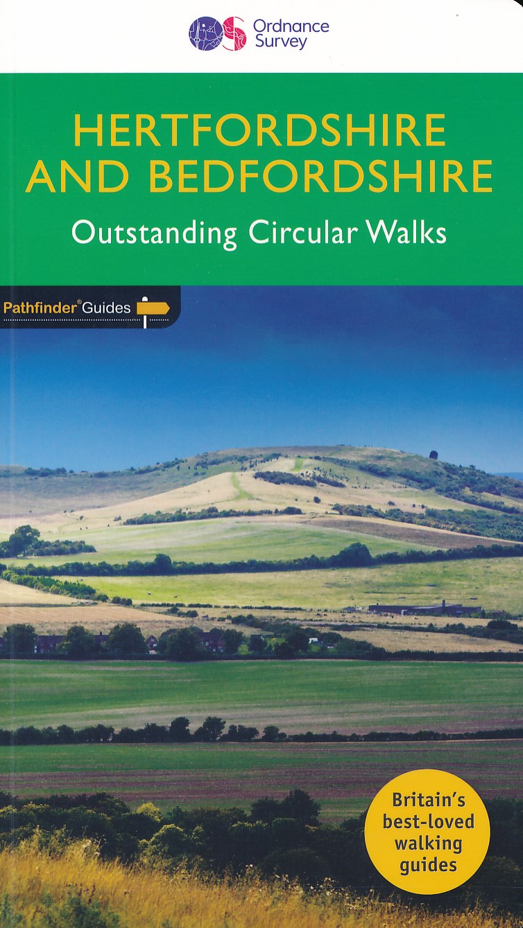
- Hertfordshire & Bedfordshire
- Both counties tend to be underrated by walkers, often overlooked in favour of the delights of the Thames Valley or the hillier Chiltern country of Buckinghamshire. But they do possess much fine walking country, with a diversity of terrain, gentle hilly regions, lots of pleasant woodland, attractive riverside landscapes and an impressive... Read more
- Also available from:
- De Zwerver, Netherlands
Netherlands
2016
- Wandelgids 54 Pathfinder Guides Hertfordshire and Bedfordshire | Ordnance Survey
- Both counties tend to be underrated by walkers, often overlooked in favour of the delights of the Thames Valley or the hillier Chiltern country of Buckinghamshire. But they do possess much fine walking country, with a diversity of terrain, gentle hilly regions, lots of pleasant woodland, attractive riverside landscapes and an impressive... Read more

United Kingdom
2015
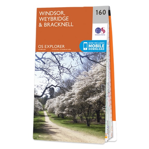
- Windsor - Weybridge & Bracknell OS Explorer Map 160 (paper)
- Windsor, Weybridge and Bracknell area on a detailed topographic and GPS compatible map No. 160, paper version, from the Ordnance Survey’s 1:25,000 Explorer series. MOBILE DOWNLOADS: this title and all the other OS Explorer maps include a code for downloading after purchase the digital version onto your smartphone or tablet for viewing on the OS... Read more
- Also available from:
- The Book Depository, United Kingdom
- De Zwerver, Netherlands

Netherlands
2015
Maps

United Kingdom
- England Coast Path Adventure Map - Minehead to Brean Down
- The A-Z Adventure Series of maps combines the best of OS and A-Z, creating the perfect companion for walkers, off-road cyclists, horse riders and anyone wishing to explore the great outdoors.This official Minehead to Brean Down Adventure Map covers a 58 mile (93km) section of the England Coast Path, a new National Trail around England`s coast.... Read more

United Kingdom
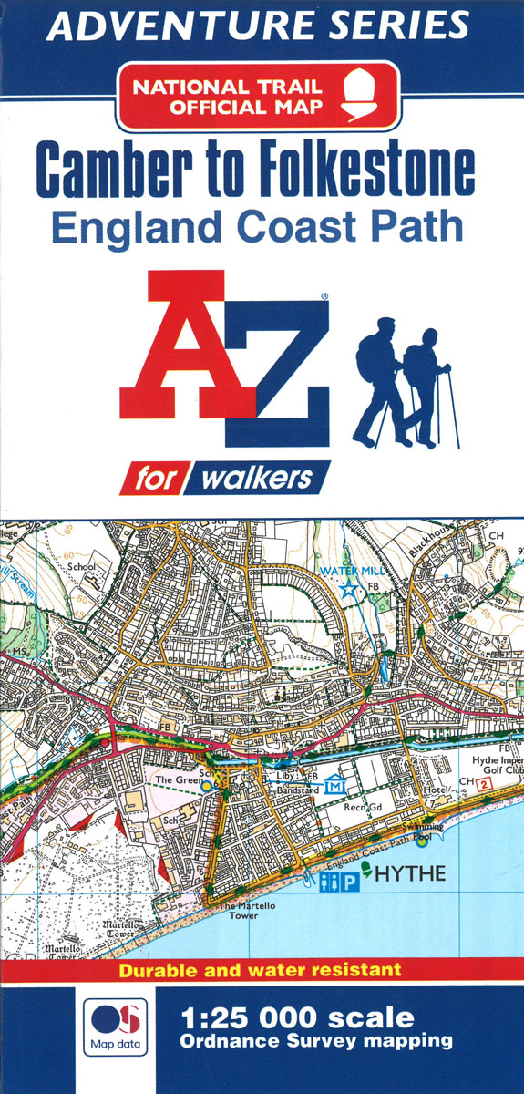
- England Coast Path - Camber to Folkestone Adventure Map
- The A-Z Adventure Series of maps combines the best of OS and A-Z, creating the perfect companion for walkers, off-road cyclists, horse riders and anyone wishing to explore the great outdoors.This official Camber to Folkestone Adventure Map section of the England Coast Path, a new National Trail around England`s coast. More than just a path, it... Read more
- Also available from:
- Bol.com, Netherlands
- Bol.com, Belgium
Netherlands
- England Coast Path Camber to Folkestone Adventure Map
- The A-Z Adventure Series of maps combines the best of OS and A-Z, creating the perfect companion for walkers, off-road cyclists, horse riders and anyone wishing to explore the great outdoors.This official Camber to Folkestone Adventure Map section of the England Coast Path, a new National Trail around England`s coast. More than just a path, it... Read more
Belgium
- England Coast Path Camber to Folkestone Adventure Map
- The A-Z Adventure Series of maps combines the best of OS and A-Z, creating the perfect companion for walkers, off-road cyclists, horse riders and anyone wishing to explore the great outdoors.This official Camber to Folkestone Adventure Map section of the England Coast Path, a new National Trail around England`s coast. More than just a path, it... Read more
Netherlands
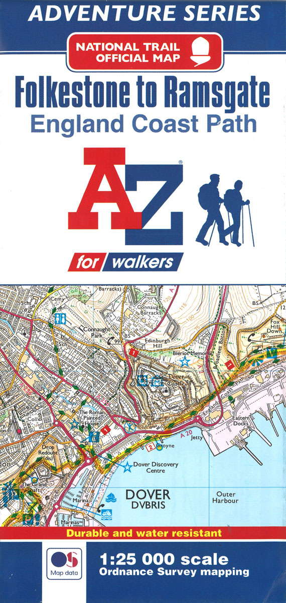
- England Coast Path Folkestone to Ramsgate Adventure Map
- The A-Z Adventure Series of maps combines the best of OS and A-Z, creating the perfect companion for walkers, off-road cyclists, horse riders and anyone wishing to explore the great outdoors.This official Folkestone to Ramsgate Adventure Map section of the England Coast Path, a new National Trail around England`s coast. More than just a path,... Read more
- Also available from:
- Bol.com, Belgium
Belgium
- England Coast Path Folkestone to Ramsgate Adventure Map
- The A-Z Adventure Series of maps combines the best of OS and A-Z, creating the perfect companion for walkers, off-road cyclists, horse riders and anyone wishing to explore the great outdoors.This official Folkestone to Ramsgate Adventure Map section of the England Coast Path, a new National Trail around England`s coast. More than just a path,... Read more

United Kingdom
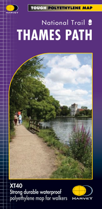
- Thames Path
- Mooie, duidelijke kaart van het Thames Path in Engeland. Geplastificeerd met veel extra informatie en uitsnedes van de route. Thames Path National Trail The Thames Path follows the banks of the river for 184 miles (294KM) from the flood barrier at Woolwich in South East London to Kemble Gloucestershire. It is a long distance walking route, most... Read more
- Also available from:
- Bol.com, Netherlands
- Bol.com, Belgium
- De Zwerver, Netherlands
Netherlands
- Thames Path
- Mooie, duidelijke kaart van het Thames Path in Engeland. Geplastificeerd met veel extra informatie en uitsnedes van de route. Thames Path National Trail The Thames Path follows the banks of the river for 184 miles (294KM) from the flood barrier at Woolwich in South East London to Kemble Gloucestershire. It is a long distance walking route, most... Read more
Belgium
- Thames Path
- Mooie, duidelijke kaart van het Thames Path in Engeland. Geplastificeerd met veel extra informatie en uitsnedes van de route. Thames Path National Trail The Thames Path follows the banks of the river for 184 miles (294KM) from the flood barrier at Woolwich in South East London to Kemble Gloucestershire. It is a long distance walking route, most... Read more

Netherlands
- Wandelkaart Thames Path | Harvey Maps
- Mooie, duidelijke kaart van het Thames Path in Engeland. Geplastificeerd met veel extra informatie en uitsnedes van de route. Thames Path National Trail The Thames Path follows the banks of the river for 184 miles (294KM) from the flood barrier at Woolwich in South East London to Kemble Gloucestershire. It is a long distance walking route, most... Read more
United Kingdom
2017
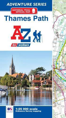
- Thames Path A-Z Adventure Atlas
- The A-Z Adventure series features the accuracy and quality of Ordnance Survey`s Explorer mapping in a convenient book, therefore eliminating the need to fold and re-fold a large sheet map to the desired area. OS Explorer is Ordnance Survey`s most detailed mapping at a scale of 1:25 000 showing public rights of way, open access land, national... Read more
- Also available from:
- Bol.com, Netherlands
- Bol.com, Belgium
Netherlands
2017
- Thames Path Adventure Atlas
- The A-Z Adventure series features the accuracy and quality of Ordnance Survey`s Explorer mapping in a convenient book, therefore eliminating the need to fold and re-fold a large sheet map to the desired area. OS Explorer is Ordnance Survey`s most detailed mapping at a scale of 1:25 000 showing public rights of way, open access land, national... Read more
Belgium
2017
- Thames Path Adventure Atlas
- The A-Z Adventure series features the accuracy and quality of Ordnance Survey`s Explorer mapping in a convenient book, therefore eliminating the need to fold and re-fold a large sheet map to the desired area. OS Explorer is Ordnance Survey`s most detailed mapping at a scale of 1:25 000 showing public rights of way, open access land, national... Read more