
Wye Valley Walk
Description
- Name Wye Valley Walk
- Length of trail 219 km, 136 miles
- Length in days 11 days
- Start of trail Chepstow
- End of trail Plynlimon
- Traildino grading EW, Easy walk, nature trail

136 miles, 218 km, 11 days
The Wye Valley in Wales is beautiful and well-known. The Wye Valley Walk offers the hiker the opportunity to explore the course of the River Wye. The path starts at Chepstow, the mouth of the River Wye. Walking upstream along limestone cliffs, one reaches the ruins of Tintern Abbey.
The path continues to the town of Monmouth, Ross-on-Wye, and of course the famous bookshop town of Hay-on-Wye, where the trail meets Offa's Dyke Path. The path continuous upstream to the town of Rhayader, and has been extended in recent years into the mountains of Wales to reach Plynlimon.
The green wooded valley landscape is attractive and there are many things to see. The path is easier than trails through the high hills of Wales, like Glyndwr's Way and the Coed Morgannwg Way. But still, one must be prepared for the fair amount of mud and rain.
Map

Links
Facts
Reports
Guides and maps
Lodging
Organisations
Tour operators
GPS
Other
Books

United Kingdom
- Wye Valley & Forest of Dean OS Explorer Active Map OL14 (waterproof)
- The Wye Valley and the Forest of Dean on a detailed topographic and GPS compatible map OL14, waterproof version, from the Ordnance Survey’s 1:25,000 Explorer series. Coverage extends from Chepstow in the south to beyond Ross-on-Wye and includes Monmouth, the Wye Valley Area of Outstanding Natural Beauty, sections of the Offa’s Dyke National... Read more

United Kingdom
- Brecon Beacons Eastern OS Explorer Map OL13 (paper)
- The eastern part of the Brecon Beacons National Park on a detailed topographic and GPS compatible map OL13, paper version, from the Ordnance Survey’s 1:25,000 Explorer series. Coverage includes Tredegar, Ebbw Vale, Abergavenny, Hay-on-Wye, the Black Mountains, Llangorse Lake, Sugar Loaf, Black Hill, Hay Bluff, sections of the Offa’s Dyke... Read more
- Also available from:
- The Book Depository, United Kingdom
- De Zwerver, Netherlands


United Kingdom
- Brecon Beacons Eastern OS Explorer Active Map OL13 (waterproof)
- The eastern part of the Brecon Beacons National Park on a detailed topographic and GPS compatible map OL13, waterproof version, from the Ordnance Survey’s 1:25,000 Explorer series. Coverage includes Tredegar, Ebbw Vale, Abergavenny, Hay-on-Wye, the Black Mountains, Llangorse Lake, Sugar Loaf, Black Hill, Hay Bluff, sections of the Offa’s Dyke... Read more
- Also available from:
- The Book Depository, United Kingdom

United Kingdom
Netherlands
2024

- Also available from:
- Bol.com, Netherlands
- Bol.com, Belgium
Netherlands
2011
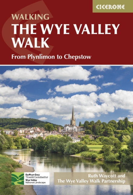
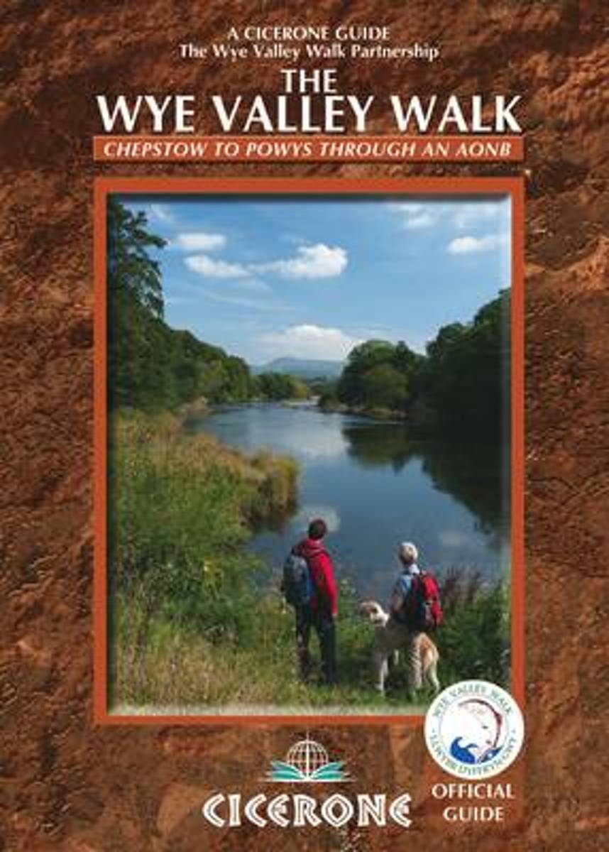
- The Wye Valley Walk
- Official guidebook to the Wye Valley Walk. Following the River Wye for 136 miles from the mouth of the river at Chepstow to the slopes of Plynlimon in Powys, the Wye Valley offers a perfect mix of river and hill walking. Devised by the Wye Valley Walk Partnership, the walk takes up to two weeks to complete, and enjoys the superb scenery of the... Read more
Belgium
2011
- The Wye Valley Walk
- Official guidebook to the Wye Valley Walk. Following the River Wye for 136 miles from the mouth of the river at Chepstow to the slopes of Plynlimon in Powys, the Wye Valley offers a perfect mix of river and hill walking. Devised by the Wye Valley Walk Partnership, the walk takes up to two weeks to complete, and enjoys the superb scenery of the... Read more