
Ontario
Description
Map

Trails in this state
- Avon TrailGPX
- Bruce TrailGPX
- Cataraqui Trail
- Central Ontario Loop Trail
- Chrysler Canada Greenway
- Elgin Hiking Trail
- Elora Cataract TrailwayGPX
- Ganaraska Hiking TrailGPX
- Grand Valley TrailGPX
- Greater Niagara Circle Route
- La Cloche Silhouette TrailGPX
- National Hiking Trail of Canada
- Niagara River Recreation Trail
- Oak Ridges TrailGPX
- Ottowa-Temiskaming Highland Trail
- Park to Park TrailGPX
- Rideau TrailGPX
- Thames Valley TrailGPX
- Trans Canada TrailGPX
- Voyageur Trail
- Waterfront TrailGPX
- Welland Canals Trail
Links
Facts
Reports
Guides and maps
Lodging
Organisations
Tour operators
GPS
Other
Books

Stanfords
United Kingdom
United Kingdom
- DK Eyewitness Travel Guide Canada
- DK Eyewitness travel guides: award-winning guidebooksDiscover Canada with this essential travel guide, designed to help you create your own unique trip and to transport you to this incredible country before you`ve even packed your case - marvel at the magnificent thundering waterfalls of Niagara Falls, hike through spectacular scenery in Banff... Read more

The Book Depository
United Kingdom
United Kingdom
- The Great Himalaya Trail N3
- The Rara, Jumla & Mugu Section Read more


The Book Depository
United Kingdom
United Kingdom
- The Best of The Great Trail -- Volume 1
- Newfoundland to Southern Ontario on the Trans Canada Trail Read more

The Book Depository
United Kingdom
United Kingdom
- The Best of The Great Trail
- British Columbia to Northern Ontario on the Trans Canada Trail Read more

Bol.com
Netherlands
Netherlands
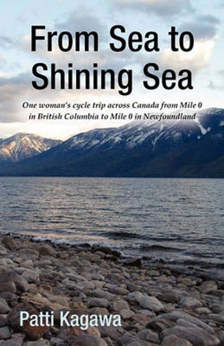
- From Sea to Shining Sea
- This book is one woman's story of her trip cycling across Canada, sharing the ease, joy and trials of her adventure, traveling mainly off the Trans Canada Highway; up and over the mountain passes of British Columbia, against 50 km per hour winds in Saskatchewan, enjoying hospitality of friends and strangers across the country and the joy of... Read more
- Also available from:
- Bol.com, Belgium
Bol.com
Belgium
Belgium
- From Sea to Shining Sea
- This book is one woman's story of her trip cycling across Canada, sharing the ease, joy and trials of her adventure, traveling mainly off the Trans Canada Highway; up and over the mountain passes of British Columbia, against 50 km per hour winds in Saskatchewan, enjoying hospitality of friends and strangers across the country and the joy of... Read more
Bol.com
Netherlands
Netherlands
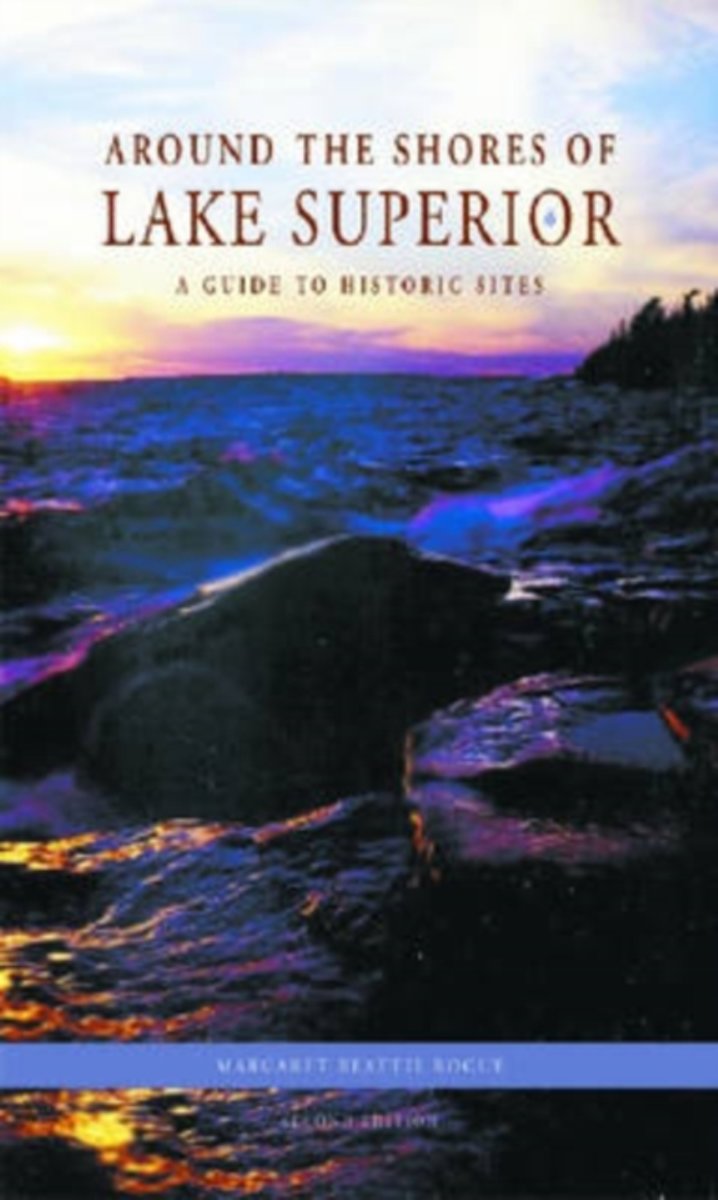
- Around the Shores of Lake Superior
- With its rugged shoreline and deep, cold waters, Lake Superior offers exciting opportunities for travel, exploration, and enjoyment. From the Grand Sable Dunes and Apostle Islands of the south shore to mountain-studded St. Ignace Island and majestic Thunder Cape on the north, the lake is deeply ingrained in North America's cultural and... Read more
- Also available from:
- Bol.com, Belgium
Bol.com
Belgium
Belgium
- Around the Shores of Lake Superior
- With its rugged shoreline and deep, cold waters, Lake Superior offers exciting opportunities for travel, exploration, and enjoyment. From the Grand Sable Dunes and Apostle Islands of the south shore to mountain-studded St. Ignace Island and majestic Thunder Cape on the north, the lake is deeply ingrained in North America's cultural and... Read more

Bol.com
Netherlands
Netherlands
- Kingston Second to None
- A study and discussion of the outstanding opportunities available to Kingston, Ontario, Canada. Opportunities for the most part missed, underappreciated, underpromoted, and undervalued.Kingston has everything it needs to be a boom town. We are the Historic Heart of Canada. The Blue Belt represents the finest water lifestyle in North... Read more
- Also available from:
- Bol.com, Belgium
Bol.com
Belgium
Belgium
- Kingston Second to None
- A study and discussion of the outstanding opportunities available to Kingston, Ontario, Canada. Opportunities for the most part missed, underappreciated, underpromoted, and undervalued.Kingston has everything it needs to be a boom town. We are the Historic Heart of Canada. The Blue Belt represents the finest water lifestyle in North... Read more
Bol.com
Netherlands
Netherlands
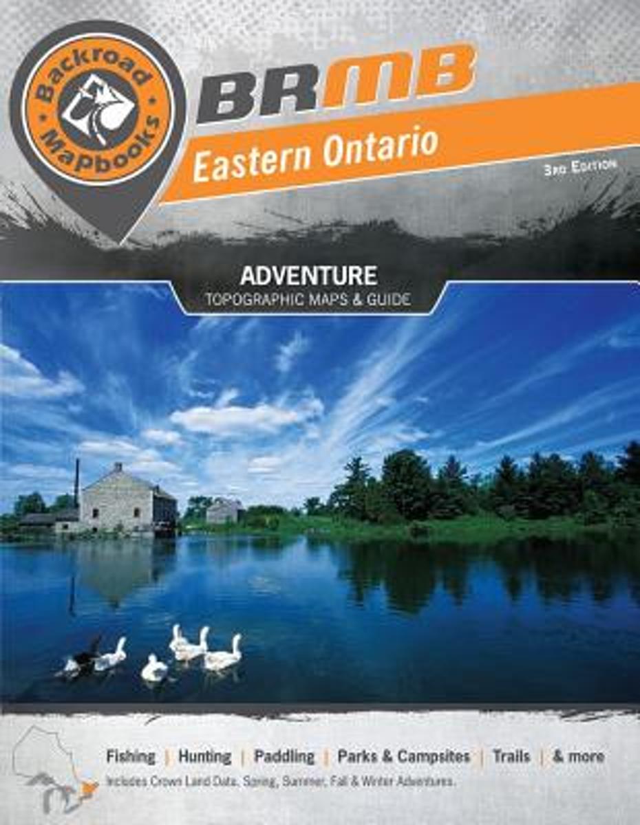
- Eastern Ontario
- This backroad mapbook is a complete road and recreation atlas for the eastern area of Ontario, an area of the province with extensive wilderness for outdoor recreation. It includes 47 colour recreational GPS-compatible topographical relief maps and detailed maps of Ottawa and Bon Echo and Frontenac Provincial Parks. The relief maps include... Read more
- Also available from:
- Bol.com, Belgium
Bol.com
Belgium
Belgium
- Eastern Ontario
- This backroad mapbook is a complete road and recreation atlas for the eastern area of Ontario, an area of the province with extensive wilderness for outdoor recreation. It includes 47 colour recreational GPS-compatible topographical relief maps and detailed maps of Ottawa and Bon Echo and Frontenac Provincial Parks. The relief maps include... Read more
Bol.com
Netherlands
2014
Netherlands
2014
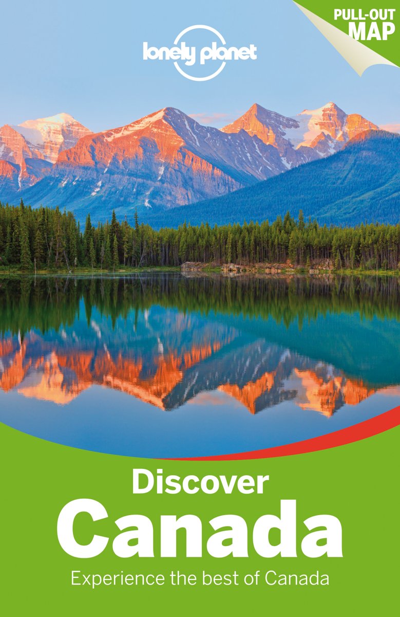
- Lonely Planet Discover Canada
- Lonely Planet's Discover Canada is your passport to the most relevant, up-to-date advice on what to see and skip, and what hidden discoveries await you. Hit the ski slopes at Whistler, wander Quebec's stunning Old Town, marvel at Niagara Falls, hike in Banff National Park; all with your trusted travel companion. Discover the best of Canada and... Read more
- Also available from:
- Bol.com, Belgium
Bol.com
Belgium
2014
Belgium
2014
- Lonely Planet Discover Canada
- Lonely Planet's Discover Canada is your passport to the most relevant, up-to-date advice on what to see and skip, and what hidden discoveries await you. Hit the ski slopes at Whistler, wander Quebec's stunning Old Town, marvel at Niagara Falls, hike in Banff National Park; all with your trusted travel companion. Discover the best of Canada and... Read more
Bol.com
Netherlands
Netherlands
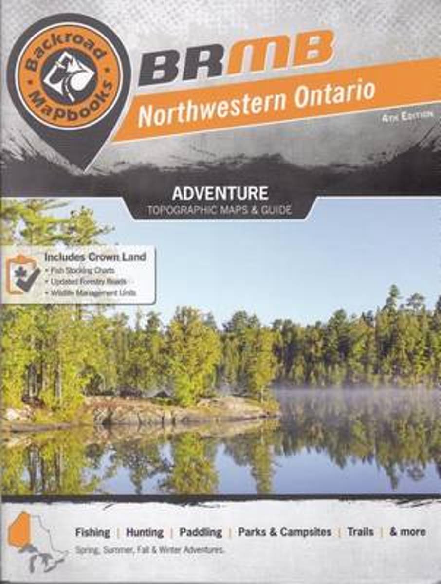
- Northwestern Ontario
- An outdoor recreation guide to northwestern Ontario, from the Thunder Bay/Nipigon area to the Ontario/Manitoba border and Hudson Bay. It has 70 colour maps that include backroads, logging roads, trails, parks, and the locations of outdoor recreational opportunities. It also includes information on outdoor activities, including hiking, camping,... Read more
- Also available from:
- Bol.com, Belgium
Bol.com
Belgium
Belgium
- Northwestern Ontario
- An outdoor recreation guide to northwestern Ontario, from the Thunder Bay/Nipigon area to the Ontario/Manitoba border and Hudson Bay. It has 70 colour maps that include backroads, logging roads, trails, parks, and the locations of outdoor recreational opportunities. It also includes information on outdoor activities, including hiking, camping,... Read more
Bol.com
Netherlands
Netherlands
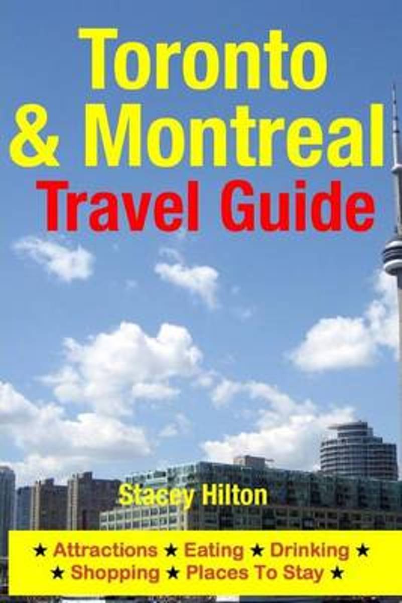
- Toronto & Montreal Travel Guide
- Toronto is the largest city in Canada and the capital city of the province of Ontario. Known as the New York of Canada, Toronto is a hotbed for culture, art and entertainment. Like its American counterpart, Toronto offers a fast-paced, bustling lifestyle which the visitor will find mesmerizing.One of the liveliest and most cosmopolitan cities... Read more
- Also available from:
- Bol.com, Belgium
Bol.com
Belgium
Belgium
- Toronto & Montreal Travel Guide
- Toronto is the largest city in Canada and the capital city of the province of Ontario. Known as the New York of Canada, Toronto is a hotbed for culture, art and entertainment. Like its American counterpart, Toronto offers a fast-paced, bustling lifestyle which the visitor will find mesmerizing.One of the liveliest and most cosmopolitan cities... Read more
Maps

Stanfords
United Kingdom
United Kingdom
- Niagara Region (Canada) FastTrack Map
- The Canadian side of the Niagara Falls region on an indexed, double-sided, waterproof and tear-resistant FastTrack map presenting the region on four panels. On one side are street plans of central Niagara Falls, including the border crossings and the adjoining part of the US side, plus Niagara-on-the-Lake (both at1:25,000). The downtown area of... Read more

Stanfords
United Kingdom
United Kingdom
- Kingston ON
- Kingston, Ontario on a double-sided map combining a street plan of Kingston at 1:25,000 with an enlargement of the downtown area, plus on the reverse individual street plans at 1:25,000 of Gananoque, Brockville, Prescott, Iroquois, Cardinal, Morrisburg and Cornwall with an extension to Long Sault Parkway. Each street plan is indexed.Street... Read more

Stanfords
United Kingdom
United Kingdom
- Niagara Falls - Fort Erie - Niagara-on-the-Lake - Grand Island
- Double-sided, indexed street plan at 1:28,000 of Niagara Falls area on both sides of the Niagara River, in Canada and USA. Coverage extends north from Niagara Falls to Lake Ontario to include Niagara-on-the-Lake on the Canadian side plus Youngstown, Porter and Lewiston in USA. On the reverse coverage continues southwards to Lake Eire to cover... Read more

Stanfords
United Kingdom
United Kingdom
- Makalu Region Great Himalay Trail Map
- Makalu Region, map no. 102, at 1:100,000 on a waterproof and tear-resistant trekking map from the Himalayan MapHouse in their series covering the whole of northern Nepal. The map highlights main trekking routes from Tumlingtar northwards: the Makalu Base Camp Trek and the route to Kimathangka, a local route east of the town, plus the relevant... Read more

Stanfords
United Kingdom
United Kingdom
- Toronto & Area MapArt Street Atlas
- Toronto and Area Street Atlas from the Canadian Cartographics Corporation covering the Toronto conurbation at 1:20,000, with A more detailed street plan of central Toronto, an extensive index of places of interest, plus regional road maps.The atlas covers an area along Lake Ontario from Hamilton and Burlington west of Toronto to beyond Oshawa... Read more

Stanfords
United Kingdom
United Kingdom
- Rolwaling Region Great Himalaya Trail Map SUPERCEDED
- The Rolwaling, map no. 104, at 1:100,000 on a waterproof and tear-resistant trekking map from the Himalayan MapHouse in their series covering the whole of northern Nepal. The map highlights main trekking routes from Jiri, both north and south of the town, including the first sections of the Jiri/Everest and Jiri/Pikey Peak trails, the Numbur... Read more

Stanfords
United Kingdom
United Kingdom
- Mustang Great Himalaya Trail Map
- Mustang, map no. 108, at 1:100,000 on a waterproof and tear-resistant trekking map from the Himalayan MapHouse in their series covering the whole of northern Nepal. The map shows the region north of the upper section of the Annapurna Circuit, beyond Jomsom/Jomosom and Muktinath, and highlights the route to Garphu, the Mustang to Phu trek, the... Read more

Stanfords
United Kingdom
United Kingdom
- Ontario MapArt Pocket Road Atlas
- Pocket road atlas of Ontario presenting the southern part of the province at 1:700,000 with the northern part at 1:1,500,000, plus enlargements showing in greater detail 25 municipal areas and downtown street plans for 21 locations, a map showing Highway Service Centres, etc..The atlas presents the southern part of the province at 1:700,000,... Read more

Stanfords
United Kingdom
United Kingdom
- Solu Khumbu - Everest Region Great Himayala Trail Map
- Solu Khumbu/Everest Region, map no. 103, at 1:100,000 on a waterproof and tear-resistant trekking map from the Himalayan MapHouse in their series covering the whole of northern Nepal. The map highlights main trekking routes from Lukla, both north and south of the town: Everest Base Camp Trek, alternative routes to the Gokyo Lakes, Bhote Koshi... Read more

Stanfords
United Kingdom
United Kingdom
- Monastry Circuit Trail
- The Monastery Trail south of Lukla at 1:100,000 in the Nepa Maps series which provides extensive coverage of trekking areas of Nepal on detailed contoured maps with trekking routes and hiking trails, huts and camp sites, local places of interest and other tourist information.The map covers an area from Namche Bazar southwards along the Dudh... Read more

Stanfords
United Kingdom
United Kingdom
- Manning Park - Skagit River ITMB
- Manning Park - Skagit River at 1:50,000 in a series of topographic survey maps of selected areas of British Columbia and the Canadian Rockies from ITMB with cartography from Canada’s national survey organization. Most sheets are printed on light, waterproof and tear- resistant plastic paper.Whilst the Canadian Department of Natural Resources... Read more

Stanfords
United Kingdom
United Kingdom
- Ontario Southwestern: Brantford - London - Kitchener/Waterloo - Bruce Peninsula
- The south-western part of Ontario on a detailed, double-sided road map at 1:250,000 extending from Lake Erie to Lake Huron and the Bruce Peninsula, with five street plans at 1:25,000 covering central London, Windsor, Sarnia, Owen Sound and Stratford.Coverage of the region is divided between the two sides of the map, with a good overlap between... Read more

Stanfords
United Kingdom
United Kingdom
- Peterborough - Lindsay
- Double-sided, indexed street plan of Peterborough (Ontario), including Cobourg, Havelock, Lakefield, Lindsay, Millwood, Norwood, and Port Hope. Street plans from the MapArt / Canadian Cartographics Corporation / JDM Géo publishing group are usually produced at scales around 1:25,000 to 1:35,000 with smaller towns often shown at more detailed... Read more

Stanfords
United Kingdom
United Kingdom
- Manitoba MapArt
- Indexed road map of Manitoba at 1:1,250,000 with an additional panel covering north-west Ontario with Lake Superior, plus Winnipeg and Brandon on more detailed road maps and plans of their downtown areas, and street plans of 10 more local towns. The whole province is shown at 1:1,250,000 on one side of the map. Topography is indicated by... Read more

Stanfords
United Kingdom
United Kingdom
- Kanchenjunga Region Great Himalaya Trail Map
- Kanchenjunga Region, map no. 101, at 1:100,000 on a waterproof and tear-resistant trekking map from the Himalayan MapHouse in their series covering the whole of northern Nepal. The map highlights main trekking routes from Taplejung, including Kanchenjunga Base Camp Trek, Yalung Base Camp Trek, Phathibhara Trek, the route along the Yangma Khola... Read more