Niagara River Recreation Trail
Description
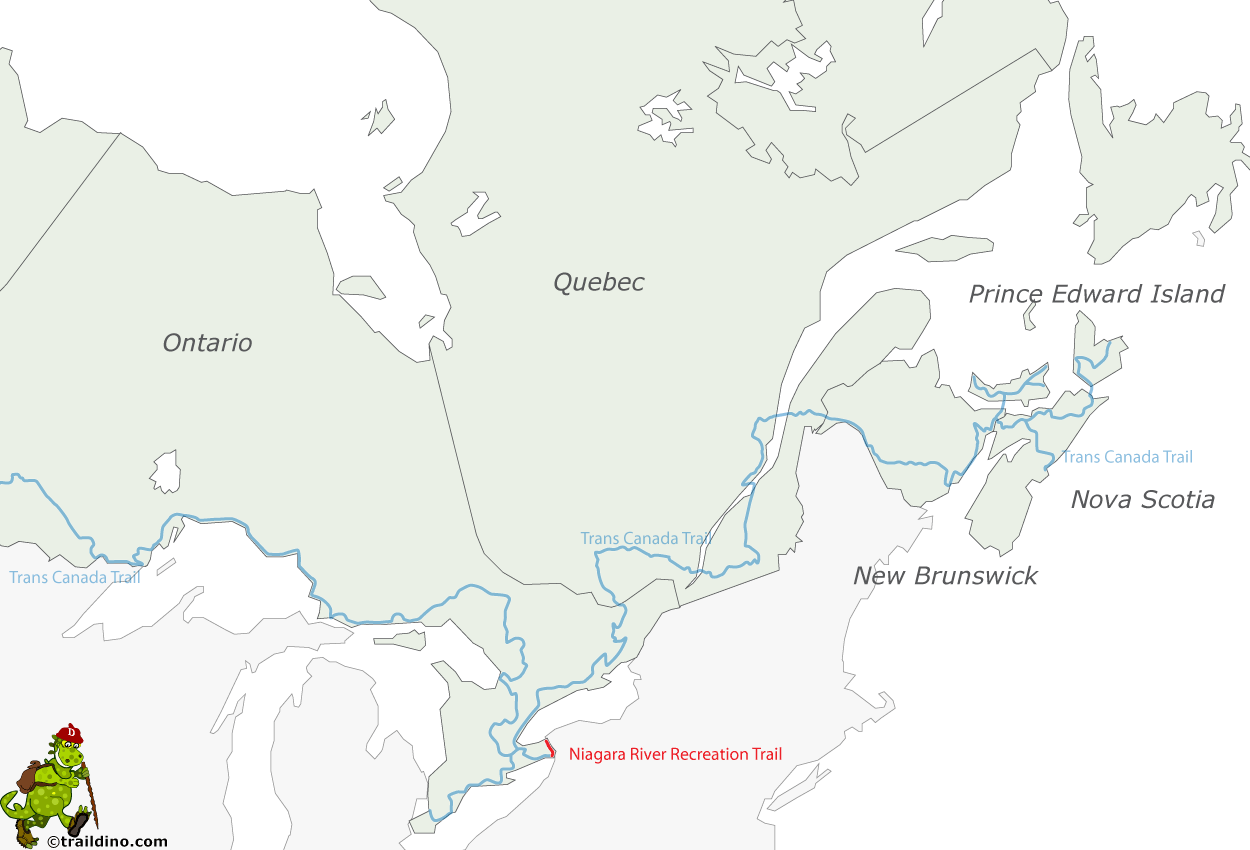
- Name Niagara River Recreation Trail
- Length of trail 56 km, 35 miles
- Length in days 3 days
- Start of trail Fort George
- End of trail Fort Erie
- Traildino grading LW, Light walk, countryside walk
Fort George in Niagara-on-the-Lake - Fort Erie, 56 km, 3 days
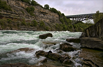
This multi-use trail passes the famous Niagara Falls. The trail is very easy for hikers and bikers. The scenery is excellent, but then the trail is busy with all sorts of recreants. Maybe you should avoid the weekends.
If you have more spare time, you might consider to hike the Greater Niagara Circle Route, 140 km, combining trails along Lake Ontario and Lake Erie as well.


