Ottowa-Temiskaming Highland Trail
Description
- Name Ottowa-Temiskaming Highland Trail (OTHT)
- Length of trail 134 km, 83 miles
- Length in days 7 days
- Start of trail Ottertail Creek
- End of trail Latchford
- Traildino grading EW, Easy walk, nature trail
Ottertail Creek (Lake Temiskaming) - Latchford, 134 km, 7 days
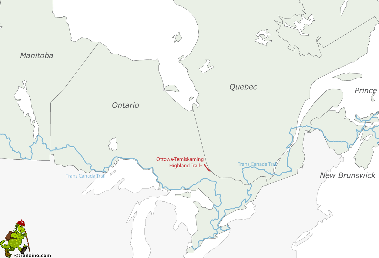
The Ottowa-Temiskaming Highland Trail is a wilderness trail in the Lake Timiskaming area, Ontario. This 110 km long lake is filling up a rift valley in which as recent as 2000 earthquakes have been registered.
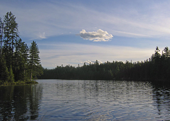
The trail goes through beautiful pine forest, over hills with lookouts, and along many lakes. The route is not improved, but well marked. The hike can be split up in sections using road access. Along the trail are simple camp sites at regular intervals.


