Welland Canals Trail
Description
- Name Welland Canals Trail
- Length of trail 60 km, 37 miles
- Length in days 3 days
- Start of trail St. Catharines
- End of trail Port Colborne
- Traildino grading LW, Light walk, countryside walk
St. Catharines - Port Colborne, 60 km, 3 days
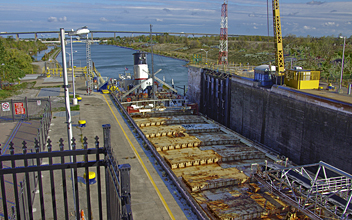
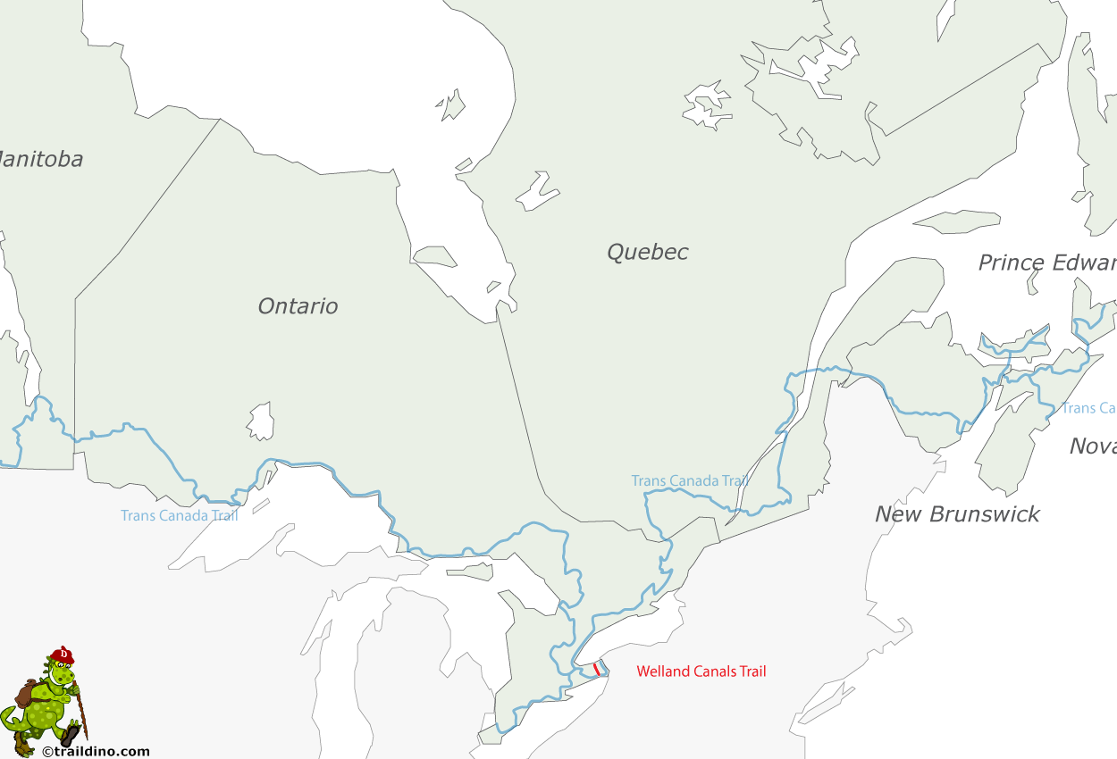
This path – also called Welland Canal Parkway Trail - follows the Welland Canal between Lake Erie and Lake Ontaria, west of the Niagara River and the Niagara Falls. The trail is used by hikers, bikers, rollerbladers, and is closed to motorized traffic. The path gives a good impression of the channel, which is still in operation.
You can combine this Welland Canals Trail with the Niagara River Recreation Trail, Waterfront Trail, and a smaller path, which will make for a circular walk of 140 km: the Greater niagara Circle Route.


