Stubai
Description
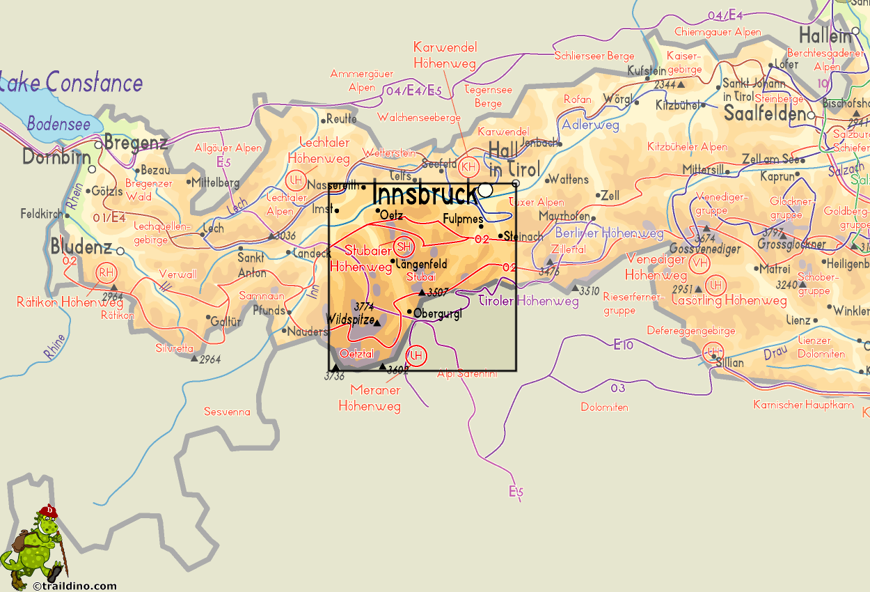
When travelling from Austria to Italy, many of us will use the Brenner Pass. The Stubai Alps are directly west of this famous pass. Further west still, one enters the Ötztal. The Stubai is a well known and popular hiking area. It's only an hour's drive from Innsbruck.
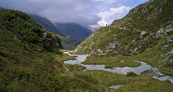
These high mountains of rock (granite, schist, gneiss) and ice offer many walking possibilities. The Stubaital is still strongly glaciated and provides opportunities for high Alpine tours. Other valleys are less glacier-clad. A network of paths and huts make an ideal area for many beautiful walks.
The valleys are something special too. Their character is typical Tirol: distinctive villages, farms with flower-hung balconies, wooded mountain slopes and above them the snow-capped mountains with peaks as Zuckerhütl (3507 m).
One of the most popular hut-tours in Austria, the nine-day Stubaier Höhenweg is a versatile walk for anyone with a good condition and without vertigo.
Map
Trails in this region
Links
Facts
Reports
Guides and maps
Lodging
Organisations
Tour operators
GPS
Other
Books
United Kingdom
2021
- Austria F&B Alp and Hut-to-Hut Hiking Guide
- A comprehensive guidebook detailing walking routes in Austria. The 101 walks reflect the diversity of this popular region and cover Austria`s magnificent Alps - including the Ratikon, Silvretta, Stubai and Zillertal - as well as the Dachsteingebirge, Hohe Tauern and the Karawanken. Graded according to difficulty and ranging from short walks of... Read more

United Kingdom
2011
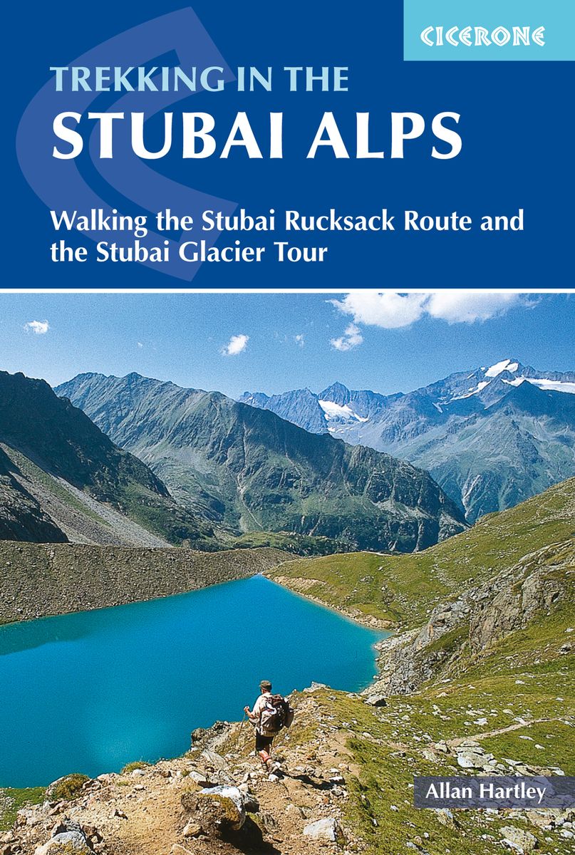
- Trekking in the Stubai Alps
- Walking the Stubai Rucksack Route and the Stubai Glacier Tour Read more
- Also available from:
- De Zwerver, Netherlands
Netherlands
2018
- Wandelgids Trekking in the Stubaier Alps | Cicerone
- An essential guidebook for anyone trekking the scenic Stubai Alps, in the Austria Tyrol. Two multi-day hut to hut hikes are described. The Stubai Rucksack Route links eight huts without crossing glaciers or difficult passes, whereas the challenging Stubai Glacier Tour involves much glacier work. Both treks easily fit into a two week holiday. Read more
Netherlands
2013
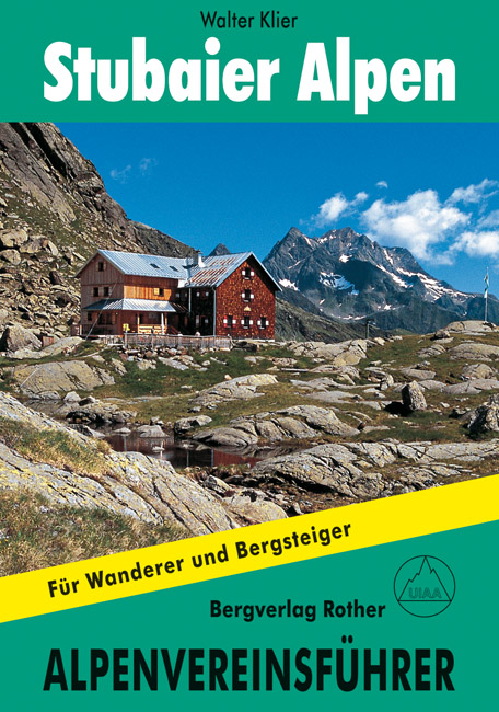
- Klimgids - Klettersteiggids Stubaier Alpen Alpenvereinsführer | Rother Bergverlag
- Alpenvereinsführer für Hochalpenwanderer und Bergsteiger Read more
Netherlands
- Brenner-Region
- Die Brenner-Region ist eines der Skitourenparadiese der Nord- und S dtiroler sowie ihrer bayerischen und italienischen Nachbarn. Das Gebiet umfasst in erster Linie das Nordtiroler und das S dtiroler Wipptal mit seinen zahlreichen Nebent lern, also das Gebiet zwischen Matrei am Brenner im Norden und Sterzing im S den. Tourenfreunde werden gewiss... Read more
- Also available from:
- Bol.com, Belgium

Belgium
- Brenner-Region
- Die Brenner-Region ist eines der Skitourenparadiese der Nord- und S dtiroler sowie ihrer bayerischen und italienischen Nachbarn. Das Gebiet umfasst in erster Linie das Nordtiroler und das S dtiroler Wipptal mit seinen zahlreichen Nebent lern, also das Gebiet zwischen Matrei am Brenner im Norden und Sterzing im S den. Tourenfreunde werden gewiss... Read more
Netherlands
- WF5955 Zugspitze, von der Zugspitze zum Gardasee Kompass
- Die KOMPASS Wanderführer überzeugen durch . nützliche Tourenübersicht zur schnellen Orientierung . übersichtliche und präzise Wegbeschreibungen . XXL Kartenausschnitte für einen großzügigen Überblick . aussagekräftiges Höhenprofil zur einfachen Planung . persönliche Empfehlungen der AutorenDe Kompass wandelgids + kaart geeft een overzicht van... Read more
- Also available from:
- Bol.com, Belgium

Belgium
- WF5955 Zugspitze, von der Zugspitze zum Gardasee Kompass
- Die KOMPASS Wanderführer überzeugen durch . nützliche Tourenübersicht zur schnellen Orientierung . übersichtliche und präzise Wegbeschreibungen . XXL Kartenausschnitte für einen großzügigen Überblick . aussagekräftiges Höhenprofil zur einfachen Planung . persönliche Empfehlungen der AutorenDe Kompass wandelgids + kaart geeft een overzicht van... Read more
Netherlands
2022
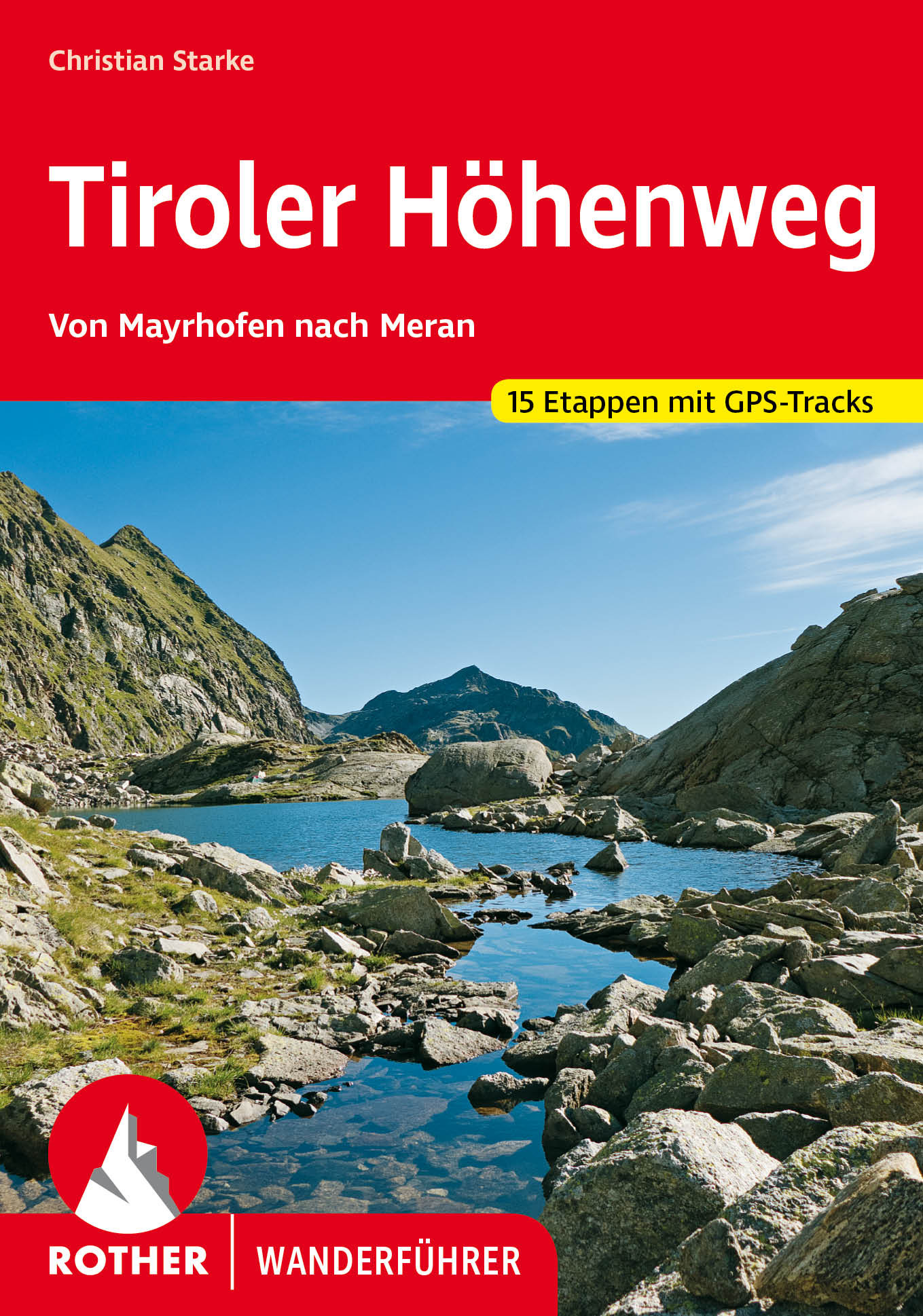
- Wandelgids Tiroler Höhenweg | Rother Bergverlag
- Uitstekende beschrijvingen van deze steeds populairder wordende bergtocht! Goede routebeschrijving, veel praktische informatie, hoogteprofielen en redelike kaartjes. Met alle noodzakelijke info. Zie voor beschrijving de duitse tekst hieronder ... Der Tiroler Höhenweg ist ein hochalpiner Weitwanderweg der Superlative, der in grandioser... Read more
Netherlands
2014
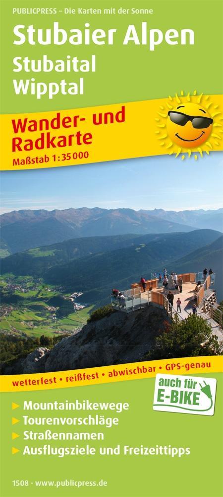
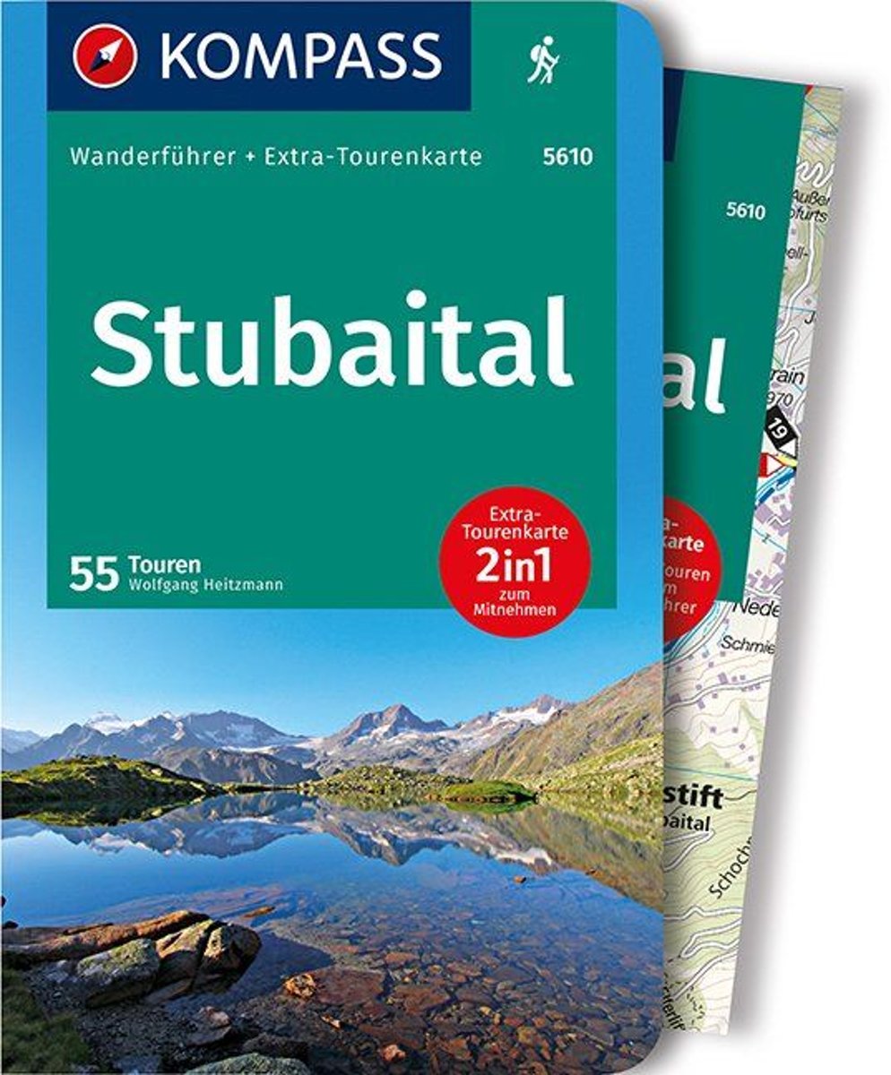
- WF5610 Stubaital Kompass
- De Kompass wandelgids + kaart geeft een overzicht van alle wandelroutes in het gebied met nauwkeurige routeaanwijzingen en hoogteaanduidingen, De extra grote kaart, schaal 1:35 000, is ideaal om van te voren uw route uit te stippelen en om onderweg te gebruiken • naast de bekende bestemmingen, worden ook de minder bekende vermeld • openbaar... Read more
- Also available from:
- Bol.com, Belgium

Belgium
2014
- WF5610 Stubaital Kompass
- De Kompass wandelgids + kaart geeft een overzicht van alle wandelroutes in het gebied met nauwkeurige routeaanwijzingen en hoogteaanduidingen, De extra grote kaart, schaal 1:35 000, is ideaal om van te voren uw route uit te stippelen en om onderweg te gebruiken • naast de bekende bestemmingen, worden ook de minder bekende vermeld • openbaar... Read more
Netherlands
2011
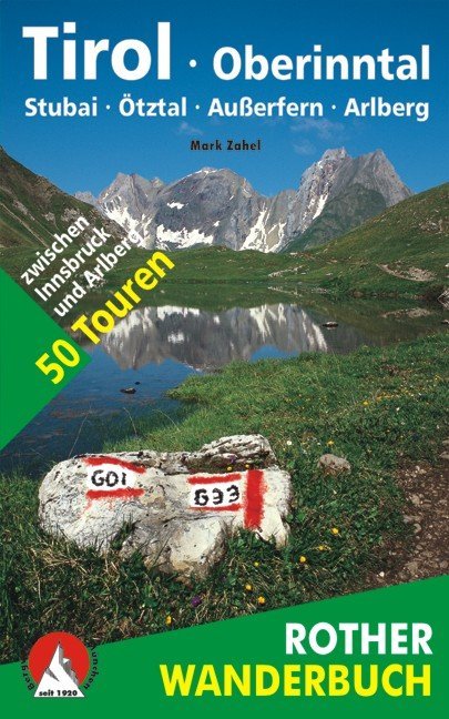
- Wandelgids Tirol Oberinntal | Rother Bergverlag
- 50 Touren zwischen Innsbruck und Arlberg Rother Wanderbuch. 1. Auflage. Read more

United Kingdom
2016
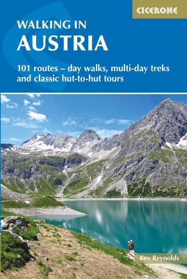
- Walking in Austria: 101 Routes - Day Walks, Multi-Day Treks and Classic Hut-to-Hut Tours
- A comprehensive guidebook detailing walking routes in Austria. The 101 walks reflect the diversity of this popular region and cover Austria`s magnificent Alps - including the Ratikon, Silvretta, Stubai and Zillertal - as well as the Dachsteingebirge, Hohe Tauern and the Karawanken. Graded according to difficulty and ranging from short walks of... Read more
- Also available from:
- The Book Depository, United Kingdom
- Bol.com, Netherlands
- Bol.com, Belgium
- De Zwerver, Netherlands

United Kingdom
2016
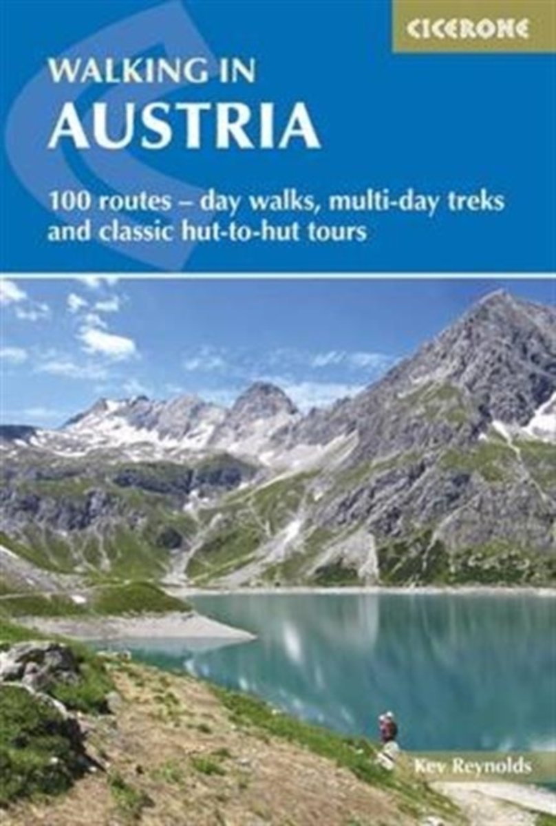
- Walking in Austria
- 101 routes - day walks, multi-day treks and classic hut-to-hut tours Read more
Netherlands
2016
- Walking in Austria
- A comprehensive guidebook detailing walking routes in Austria. The 101 walks reflect the diversity of this popular region and cover Austria's magnificent Alps - including the Ratikon, Silvretta, Stubai and Zillertal - as well as the Dachsteingebirge, Hohe Tauern and the Karawanken. Graded according to difficulty and ranging from short walks of... Read more

Belgium
2016
- Walking in Austria
- A comprehensive guidebook detailing walking routes in Austria. The 101 walks reflect the diversity of this popular region and cover Austria's magnificent Alps - including the Ratikon, Silvretta, Stubai and Zillertal - as well as the Dachsteingebirge, Hohe Tauern and the Karawanken. Graded according to difficulty and ranging from short walks of... Read more
Netherlands
2016
- Wandelgids Oostenrijk - Walking in Austria | Cicerone
- A comprehensive guidebook to walking routes in Austria. 101 routes, day walks, multi-day treks and classic hut-to-hut tours in the Ratikon, Silvretta, Stubai, and Zillertal Alps, the Hohe Tauern, and the Karawanken. With information on transport, accommodation, gear and safety, plus full details of over a hundred Austrian mountain huts. Read more
- Also available from:
- Bol.com, Belgium
- De Zwerver, Netherlands

United Kingdom
2011
- Alps Trekking
- An inspirational walking guide to 20 summer treks in the European Alps in Italy, Austria, Switzerland, France and Slovenia, by 8 Alpine trekking experts, including the classics such as the Tour of Mont Blanc and lesser-known routes like the Traverse of the Slovenian Alps. All the rich scenic diversity for which the Alps are renowned is... Read more
- Also available from:
- The Book Depository, United Kingdom
- Bol.com, Netherlands
- Bol.com, Belgium
- De Zwerver, Netherlands

United Kingdom
2011
- Trekking in the Alps
- An inspirational guidebook to 20 classic treks in the Alps. As well as introducing new hiking areas in the Alps, classics such as the Tour of Mont Blanc, and Chamonix to Zermatt are included. Trekking in the Alps is immensely satisfying, and this book celebrates the rich and scenic diversity for which this great mountain range is renowned. Read more
Netherlands
2011
- Trekking in the Alps
- An inspirational guide to the delights of Alpine multi-day hikes. With 20 hikes described, including classics such as the Tour of Mont Blanc and the Tour of the Vanoise as well as new multi-day routes like the Traverse of the Slovenian Alps, this guide celebrates the rich scenic diversity for which the Alps are renowned.The eight talented... Read more

Belgium
2011
- Trekking in the Alps
- An inspirational guide to the delights of Alpine multi-day hikes. With 20 hikes described, including classics such as the Tour of Mont Blanc and the Tour of the Vanoise as well as new multi-day routes like the Traverse of the Slovenian Alps, this guide celebrates the rich scenic diversity for which the Alps are renowned.The eight talented... Read more
Netherlands
2019
- Wandelgids Trekking in the Alps | Cicerone
- An inspirational guidebook to 20 classic treks in the Alps. As well as introducing new hiking areas in the Alps, classics such as the Tour of Mont Blanc, and Chamonix to Zermatt are included. Trekking in the Alps is immensely satisfying, and this book celebrates the rich and scenic diversity for which this great mountain range is renowned. Read more
Netherlands
2017
- Ötztal - Silvretta
- Der Skitourenf hrer tztal - Silvretta beschreibt vor allem das >>Tiroler Oberlandblauen>roten Reihe Read more
- Also available from:
- Bol.com, Belgium

Belgium
2017
- Ötztal - Silvretta
- Der Skitourenf hrer tztal - Silvretta beschreibt vor allem das >>Tiroler Oberlandblauen>roten Reihe Read more
Netherlands
2013
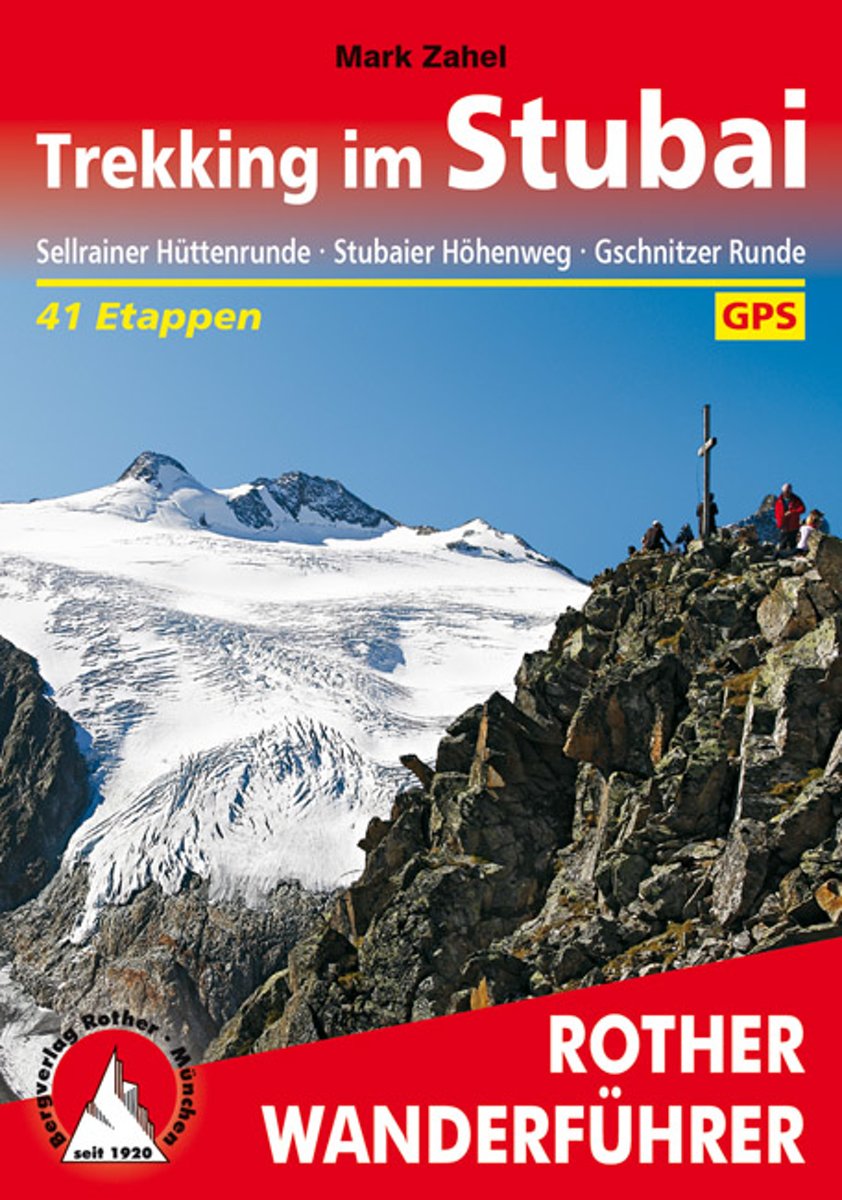
- Trekking im Stubai
- Wanderungen von Hütte zu Hütte bieten im Vergleich zu herkömmlichen Tagestouren ein deutliches Mehr: mehr Zeit zum Abschalten vom Alltag, mehr besondere Stimmungen im Wechsel der Tageszeiten, mehr und vielseitigere Landschaftseindrücke, kurzum: mehr Erlebniswert! Eine Region, um die mannigfaltigen Facetten des »Hüttentrekkings« bestens... Read more
- Also available from:
- Bol.com, Belgium

Belgium
2013
- Trekking im Stubai
- Wanderungen von Hütte zu Hütte bieten im Vergleich zu herkömmlichen Tagestouren ein deutliches Mehr: mehr Zeit zum Abschalten vom Alltag, mehr besondere Stimmungen im Wechsel der Tageszeiten, mehr und vielseitigere Landschaftseindrücke, kurzum: mehr Erlebniswert! Eine Region, um die mannigfaltigen Facetten des »Hüttentrekkings« bestens... Read more
Maps

United Kingdom
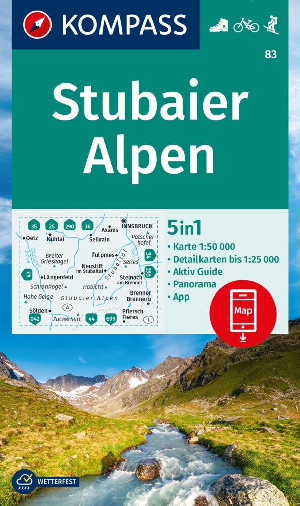
- Stubai Alps Kompass 83
- Stubai Alps (No. 83), a detailed, GPS compatible map at 1:50,000 from Kompass with local and long-distance footpaths, cycling routes, accommodation, etc, printed on durable, waterproof and tear-resistant synthetic paper. This title has on the reverse an additional panorama map of the region.KOMPASS HIKING & RECREATIONAL MAPS:This title is part... Read more

United Kingdom
- Stubai Freeride Map
- The best rides in the freeride hot spots of the Alps – this is the simple formula of the Freeride Maps. The first map available to freeriders is making the locals freeride knowledge available to a broad public.All ridable slopes, drops and couloirs are marked as freeride corridors in different colours for three difficulty ratings: blue for... Read more

United Kingdom
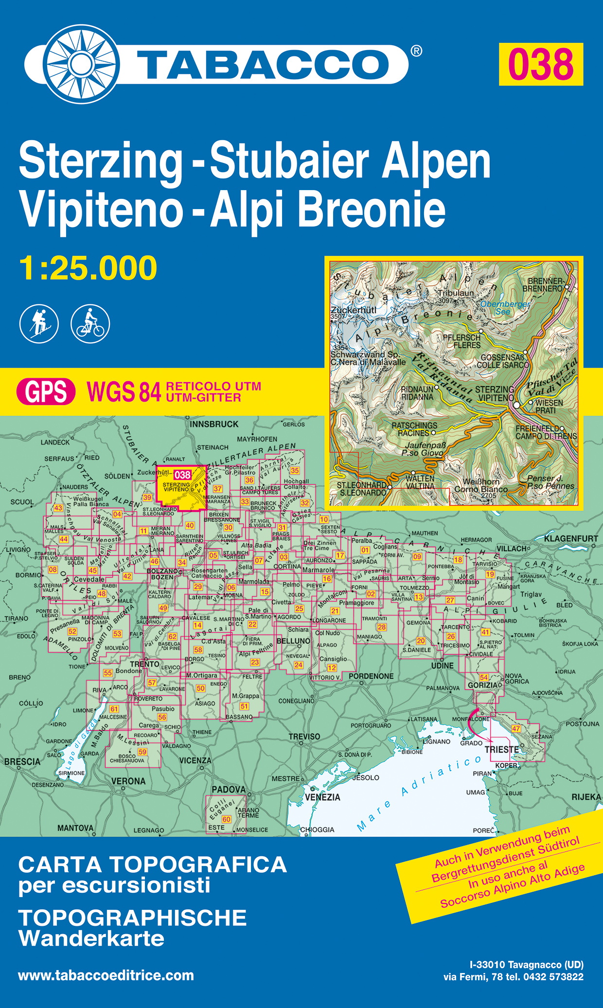
- Vipiteno / Sterzing - Alpi Breonie / Stubaier Alpen Tabacco 038
- Vipiteno/Sterzing - Alpi Breonie/Stubaier Alpen area in a series of Tabacco maps at 1:25,000 covering the Dolomites and the mountains of north-eastern Italy - Stanfords’ most popular coverage for this region, with excellent cartography and extensive overprint for hiking routes and other recreational activities, local bus stops, etc. Additional... Read more
- Also available from:
- The Book Depository, United Kingdom
- De Zwerver, Netherlands

United Kingdom
- Vipiteno, Alpi Breonie
- Vipiteno/Sterzing - Alpi Breonie/Stubaier Alpen area in a series of Tabacco maps at 1:25,000 covering the Dolomites and the mountains of north-eastern Italy - Stanfords Read more
Netherlands
- Wandelkaart 038 Sterzing - Stubaier Alpen - Vipiteno - Alpi Breonie | Tabacco Editrice
- Vipiteno/Sterzing - Alpi Breonie/Stubaier Alpen area in a series of Tabacco maps at 1:25,000 covering the Dolomites and the mountains of north-eastern Italy - Stanfords Read more

United Kingdom
- Ötztal - Pitztal - Kaunertal - Wildspitze F&B WK251
- Ötztal - Pitztal - Kaunertal - Wildspitze area of the Austrian Alps presented at 1:50,000 in a series of contoured and GPS compatible outdoor leisure map from Freytag & Berndt with hiking and cycling routes, mountain huts, campsites and youth hostels, local bus stops, plus other tourist information.To see the list of currently available titles... Read more
- Also available from:
- The Book Depository, United Kingdom

United Kingdom
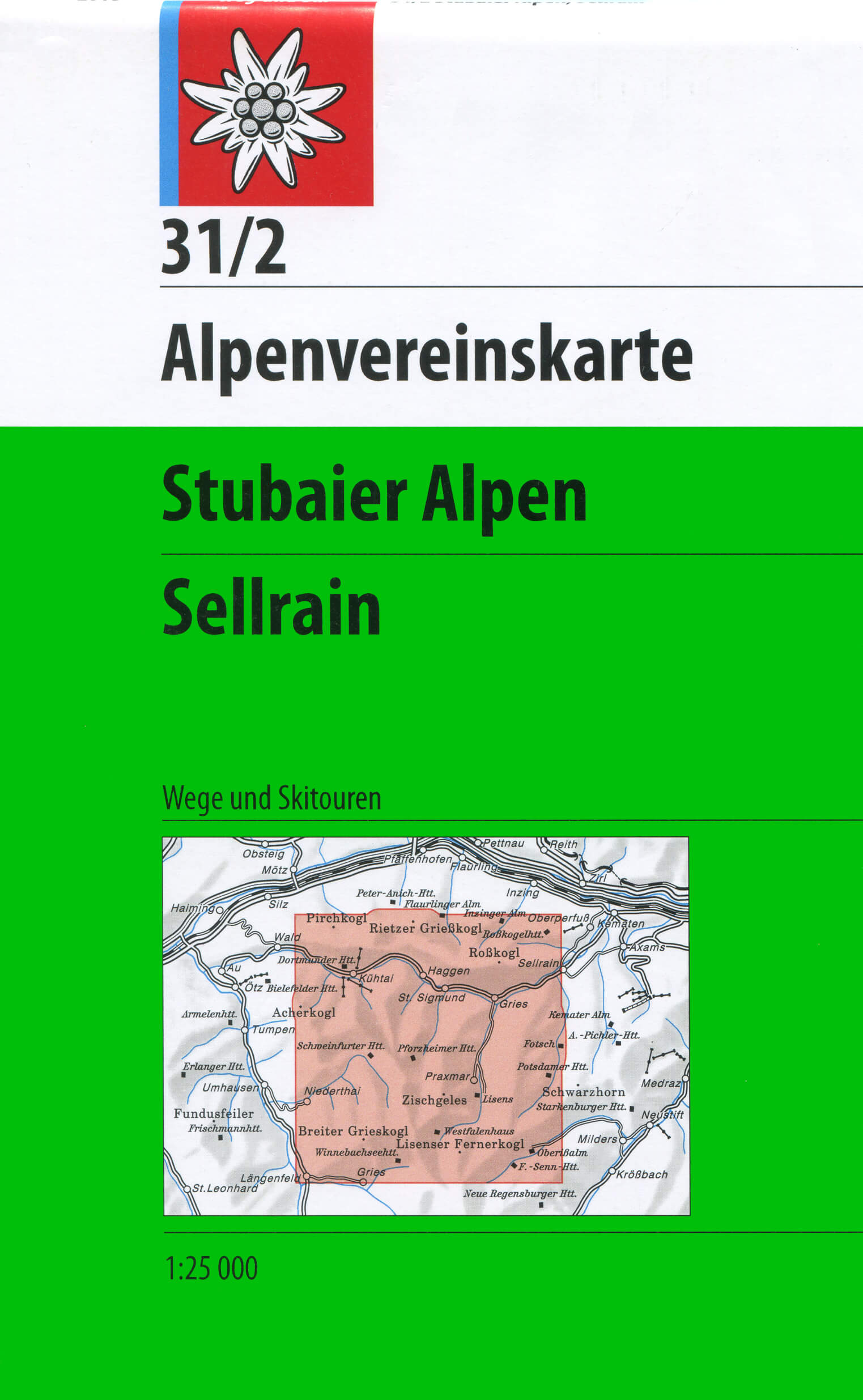
- Stubai Alps - Sellrain Alpenverein KOMBI Map 31/2
- Stubai Alps: Sellrain area of the Alps in a hiking edition at 1:25,000 from a series of detailed, GPS compatible maps published by the DAV - Deutscher Alpenverein and produced by the German and Austrian Alpine Clubs using cartography from their respective survey organizations. Maps in this series have topography vividly presented by contours at... Read more
- Also available from:
- De Zwerver, Netherlands
Netherlands
- Wandelkaart 31/2 Alpenvereinskarte Stubaier Alpen - Sellrain | Alpenverein
- Stubai Alps: Sellrain area of the Alps in a hiking edition at 1:25,000 from a series of detailed, GPS compatible maps published by the DAV - Deutscher Alpenverein and produced by the German and Austrian Alpine Clubs using cartography from their respective survey organizations. Maps in this series have topography vividly presented by contours at... Read more

United Kingdom
2021
- Saualpe - Region Lavanttal - Koralpe - Region Schlicherheimat F&B WK237
- Saualpe - Lavanttal - Koralpe - Region Schlicherheimat area of the Austrian Alps presented at 1:50,000 in a series of contoured and GPS compatible outdoor leisure map from Freytag & Berndt with hiking and cycling routes, mountain huts, campsites and youth hostels, local bus stops, plus other tourist information.To see the list of currently... Read more
- Also available from:
- De Zwerver, Netherlands
Netherlands
2021
- Wandelkaart 237 Saualpe - Region Lavanttal - Koralpe - Region Schilcherland | Freytag & Berndt
- Saualpe - Lavanttal - Koralpe - Region Schlicherheimat area of the Austrian Alps presented at 1:50,000 in a series of contoured and GPS compatible outdoor leisure map from Freytag & Berndt with hiking and cycling routes, mountain huts, campsites and youth hostels, local bus stops, plus other tourist information.To see the list of currently... Read more

United Kingdom
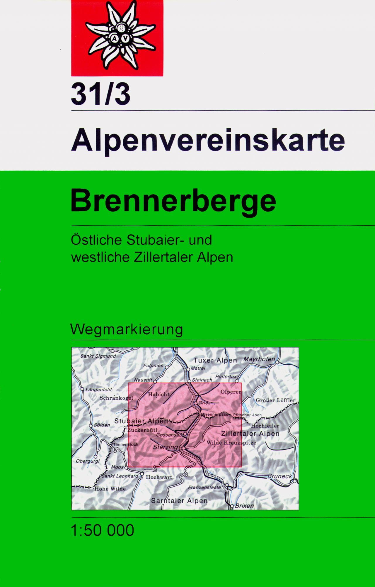
- Brennerberge Alpenverein Map 31/3
- Brennerberge area of the Alps in a hiking edition at 1:50,000 from a series of detailed, GPS compatible maps published by the DAV - Deutscher Alpenverein and produced by the German and Austrian Alpine Clubs using cartography from their respective survey organizations. Maps in this series have topography vividly presented by contours at 20... Read more
- Also available from:
- De Zwerver, Netherlands
Netherlands
- Wandelkaart 31/3 Alpenvereinskarte Stubaier Alpen - Brennerberge | Alpenverein
- Brennerberge area of the Alps in a hiking edition at 1:50,000 from a series of detailed, GPS compatible maps published by the DAV - Deutscher Alpenverein and produced by the German and Austrian Alpine Clubs using cartography from their respective survey organizations. Maps in this series have topography vividly presented by contours at 20... Read more
Netherlands
- Kompass WK36 Innsbruck, Brenner
- Deze Kompass wandelkaart, schaal 1:50 000, is ideaal om uw route uit te stippelen en om onderweg te gebruiken • naast de bekende bestemmingen, worden ook de minder bekende vermeld • openbaar vervoer bij begin- of eindpunt van een route aangegeven • eenvoudige wandelingen tot pittige (berg)tochten, voor getrainde en ongetrainde wandelaars • met... Read more
- Also available from:
- Bol.com, Belgium

Belgium
- Kompass WK36 Innsbruck, Brenner
- Deze Kompass wandelkaart, schaal 1:50 000, is ideaal om uw route uit te stippelen en om onderweg te gebruiken • naast de bekende bestemmingen, worden ook de minder bekende vermeld • openbaar vervoer bij begin- of eindpunt van een route aangegeven • eenvoudige wandelingen tot pittige (berg)tochten, voor getrainde en ongetrainde wandelaars • met... Read more
Netherlands
- Kompass WK83 Stubaier Alpen
- Deze Kompass wandelkaart, schaal 1:50 000, is ideaal om uw route uit te stippelen en om onderweg te gebruiken • naast de bekende bestemmingen, worden ook de minder bekende vermeld • openbaar vervoer bij begin- of eindpunt van een route aangegeven • eenvoudige wandelingen tot pittige (berg)tochten, voor getrainde en ongetrainde wandelaars • met... Read more
- Also available from:
- Bol.com, Belgium

Belgium
- Kompass WK83 Stubaier Alpen
- Deze Kompass wandelkaart, schaal 1:50 000, is ideaal om uw route uit te stippelen en om onderweg te gebruiken • naast de bekende bestemmingen, worden ook de minder bekende vermeld • openbaar vervoer bij begin- of eindpunt van een route aangegeven • eenvoudige wandelingen tot pittige (berg)tochten, voor getrainde en ongetrainde wandelaars • met... Read more

United Kingdom
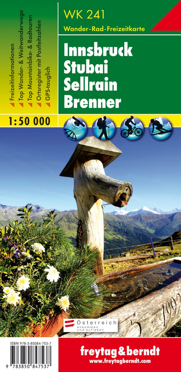
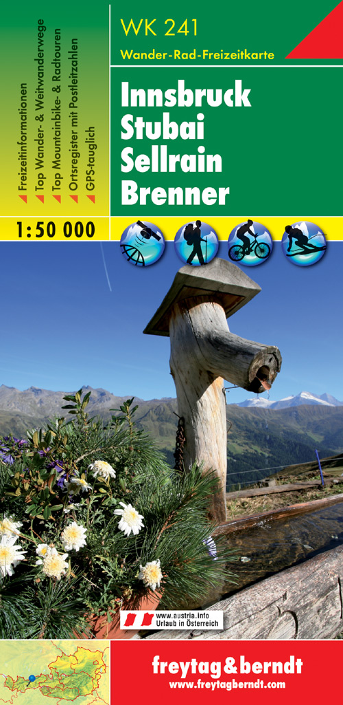
- Innsbruck - Stubai - Sellrain - Brenner F&B WK241
- Innsbruck - Stubai - Sellrain - Brenner area of the Austrian Alps presented at 1:50,000 in a series of contoured and GPS compatible outdoor leisure map from Freytag & Berndt with hiking and cycling routes, mountain huts, campsites and youth hostels, local bus stops, plus other tourist information.To see the list of currently available titles in... Read more
- Also available from:
- Bol.com, Netherlands
- Bol.com, Belgium
- De Zwerver, Netherlands
Netherlands
- FB WK241 Innsbruck • Stubai • Sellrain • Brenner
- Fiets- en wandelkaart • schaal 1:50 000 • activiteiten gids • plaatsnamenregister met postcodes • fietspaden en mountainbikeroutes • vermelding GPS-punten • met ski- en langlaufroutes Read more

Belgium
- FB WK241 Innsbruck • Stubai • Sellrain • Brenner
- Fiets- en wandelkaart • schaal 1:50 000 • activiteiten gids • plaatsnamenregister met postcodes • fietspaden en mountainbikeroutes • vermelding GPS-punten • met ski- en langlaufroutes Read more
Netherlands
- Wandelkaart WK241 Innsbrück - Stubai - Sellrain - Brenner | Freytag & Berndt
- Innsbruck - Stubai - Sellrain - Brenner area of the Austrian Alps presented at 1:50,000 in a series of contoured and GPS compatible outdoor leisure map from Freytag & Berndt with hiking and cycling routes, mountain huts, campsites and youth hostels, local bus stops, plus other tourist information.To see the list of currently available titles in... Read more

United Kingdom
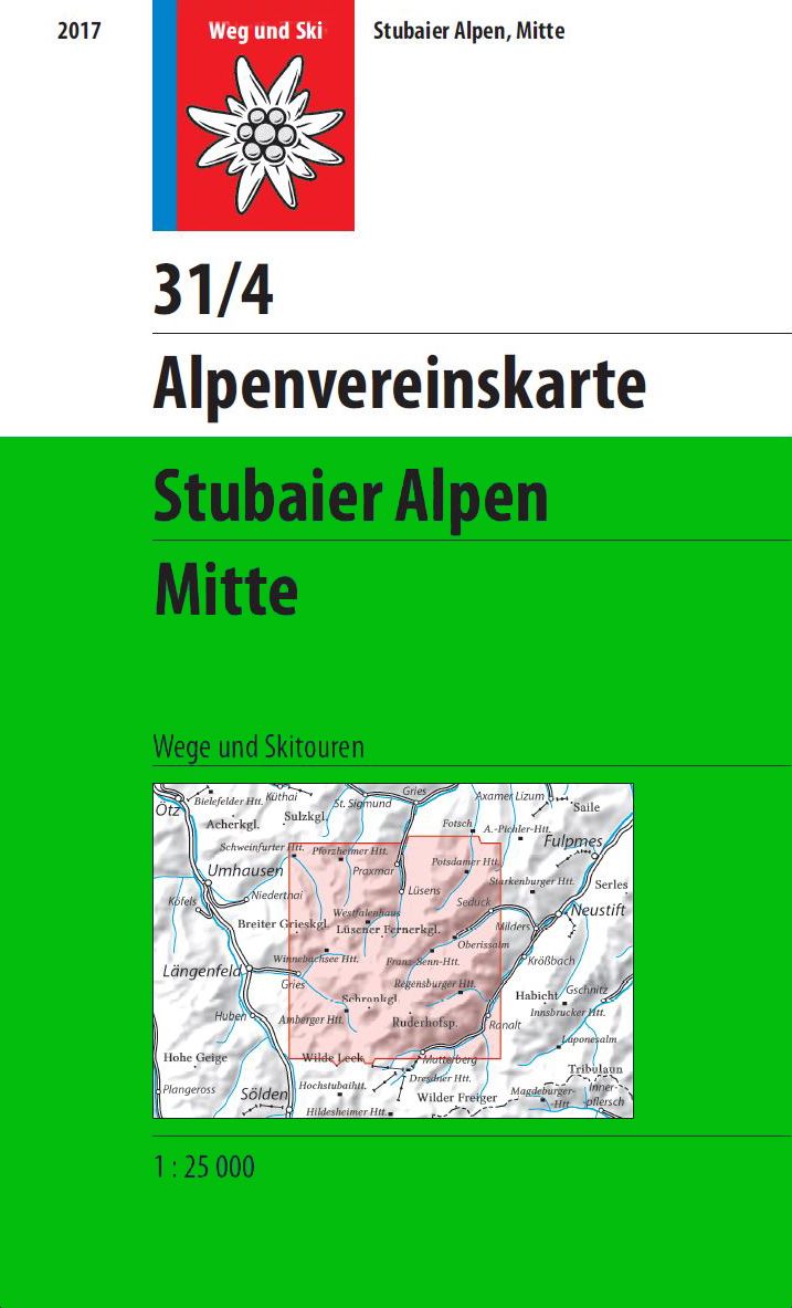
- Stubai Alps Central Alpenverein Map 31/4
- Stubai Alps: Sellrain area of the Alps in a hiking edition at 1:25,000 from a series of detailed, GPS compatible maps published by the DAV - Deutscher Alpenverein and produced by the German and Austrian Alpine Clubs using cartography from their respective survey organizations. Maps in this series have topography vividly presented by contours at... Read more
- Also available from:
- De Zwerver, Netherlands
Netherlands
- Wandelkaart 31/4 Alpenvereinskarte Stubaier Alpen - Mitte | Alpenverein
- Stubai Alps: Sellrain area of the Alps in a hiking edition at 1:25,000 from a series of detailed, GPS compatible maps published by the DAV - Deutscher Alpenverein and produced by the German and Austrian Alpine Clubs using cartography from their respective survey organizations. Maps in this series have topography vividly presented by contours at... Read more

United Kingdom
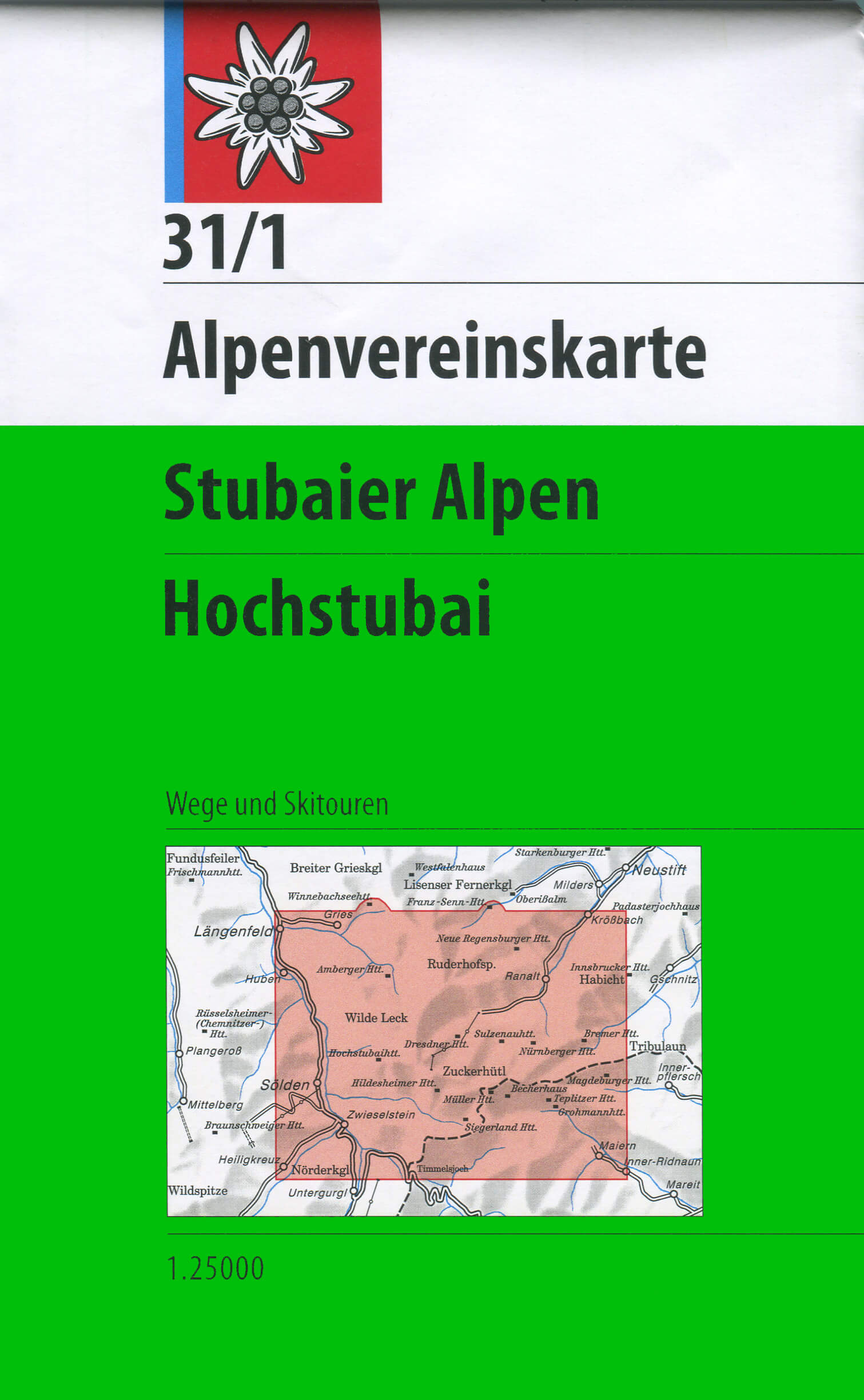
- Stubai Alps - Hochstubai Alpenverein KOMBI Map 31/1
- Stubai Alps: Hochstubai area of the Alps in a hiking edition at 1:25,000 from a series of detailed, GPS compatible maps published by the DAV - Deutscher Alpenverein and produced by the German and Austrian Alpine Clubs using cartography from their respective survey organizations. Maps in this series have topography vividly presented by contours... Read more
- Also available from:
- De Zwerver, Netherlands
Netherlands
- Wandelkaart 31/1 Alpenvereinskarte Stubaier Alpen - Hochstubai | Alpenverein
- Stubai Alps: Hochstubai area of the Alps in a hiking edition at 1:25,000 from a series of detailed, GPS compatible maps published by the DAV - Deutscher Alpenverein and produced by the German and Austrian Alpine Clubs using cartography from their respective survey organizations. Maps in this series have topography vividly presented by contours... Read more

United Kingdom
- Bregenz Forest F&B WK364
- Bregenz - Bregenzerwald area of the Austrian Alps presented at 1:50,000 in a series of contoured and GPS compatible outdoor leisure map from Freytag & Berndt with hiking and cycling routes, mountain huts, campsites and youth hostels, local bus stops, plus other tourist information. To see the list of currently available titles in this series... Read more
- Also available from:
- The Book Depository, United Kingdom
- Bol.com, Netherlands
- Bol.com, Belgium

United Kingdom
- Bregenz Forest Hiking + Leisure Map 1:50 000
- Bregenz - Bregenzerwald area of the Austrian Alps presented at 1:50,000 in a series of contoured and GPS compatible outdoor leisure map from Freytag & Berndt with hiking and cycling routes, mountain huts, campsites and youth hostels, local bus stops, plus other tourist information. To see the list of currently available titles in this series... Read more
Netherlands
- FB WK364 Bregenzerwald
- Aufgrund der übersichtlichen und detailgetreuen, digitalen Kartographie sowie der ideal gewählten Maßstäbe sind freytag & berndt Wanderkarten der perfekte Begleiter beim Wandern und Bergsteigen. Sie werden regelmäßig überarbeitet und enthalten aktualisierte Informationen zu Wanderwegen, Rad- und Mountainbikestrecken, Hütten, Naturdenkmälern,... Read more

Belgium
- FB WK364 Bregenzerwald
- Aufgrund der übersichtlichen und detailgetreuen, digitalen Kartographie sowie der ideal gewählten Maßstäbe sind freytag & berndt Wanderkarten der perfekte Begleiter beim Wandern und Bergsteigen. Sie werden regelmäßig überarbeitet und enthalten aktualisierte Informationen zu Wanderwegen, Rad- und Mountainbikestrecken, Hütten, Naturdenkmälern,... Read more


