
Tirol
Description
Bundesland in the west of Austria, with many of the finest hiking and climbing areas of the country. In a broader sense, Tirol is the larger region that also embraces parts of northern Italy.
Trails in this state
- AdlerwegGPX
- Berliner HöhenwegGPX
- E10GPX
- E4GPX
- E5GPX
- Karwendel Höhenweg
- Lasörling HöhenwegGPX
- Lechtaler HöhenwegGPX
- LechwegGPX
- Meraner HöhenwegGPX
- Südalpenweg - 3GPX
- Stubaier HöhenwegGPX
- Tauernhöhenweg
- Tiroler Höhenweg
- Traumpfad München-VenedigGPX
- Venediger HöhenwegGPX
- Verwall Höhenweg
- Via AlpinaGPX
- Voralpenweg - 4GPX
- Zentralalpenweg - 2GPX
Links
Facts
Reports
Guides and maps
Lodging
Organisations
Tour operators
GPS
Other
Books

Stanfords
United Kingdom
United Kingdom
- Tannheimer Tal F&B WK5352
- Tannheimer Tal - Füssen - Forchach area of the Austrian and Bavarian Alps presented at 1:35,000 in a series of contoured and GPS compatible outdoor leisure map from Freytag & Berndt with hiking and cycling routes, mountain huts, campsites and youth hostels, local bus stops, plus other tourist information. Cartography is an enlargement of the... Read more

Stanfords
United Kingdom
United Kingdom
- Tyrol Mountain Bike Trail (1000km) Bikeline Atlas
- A 1000-km long mountain bike trail in the very heart of the Austrian Alps in a 172-page German language guide from Verlag Esterbauer. The route, which can be divided into shorter circuits, takes in many of the region’s top tourist destinations including Innsbruck, Kitzbühel, Mayrhofen, Kufstein, Landeck, Ischgl, St. Anton, etc. IMPORTANT -... Read more

Stanfords
United Kingdom
United Kingdom
- Landeck - Nauders - Samnaungruppe Kompass 42
- Landeck - Nauders - Samnaungruppe (No. 42), a detailed, GPS compatible map at 1:50,000 from Kompass with local and long-distance footpaths, cycling routes, accommodation, etc, printed on durable, waterproof and tear-resistant synthetic paper. KOMPASS HIKING & RECREATIONAL MAPS:This title is part of an extensive series covering Austria, much of... Read more
Stanfords
United Kingdom
United Kingdom
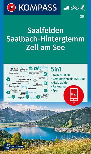
- Saalfelden - Saalbach-Hinterglemm - Zell am See Kompass 30
- Saalfelden - Saalbach - Zell am See (No. 30), a detailed, GPS compatible map at 1:50,000 from Kompass with local and long-distance footpaths, cycling routes, accommodation, etc, printed on durable, waterproof and tear-resistant synthetic paper. This title has on the reverse an additional panorama map of the region.KOMPASS HIKING & RECREATIONAL... Read more

Stanfords
United Kingdom
United Kingdom
- Radstadt - Schladming - Flachau Kompass 31
- Radstadt - Schladming - Flachau area of the Austrian Alps on a detailed, GPS compatible map at 1:50,000 from Kompass with local and long-distance footpaths, cycling routes, accommodation, etc, printed on durable, waterproof and tear-resistant synthetic paper. KOMPASS HIKING & RECREATIONAL MAPS: this title is part of an extensive series covering... Read more

Stanfords
United Kingdom
2018
United Kingdom
2018
- Innsbruck Mountain Adventures: Summer routes for a multi-activity holiday around the capital of Austria`s Tirol
- This guidebook presents 60 routes covering some of the best day walks, scrambles, hut-to-hut walks, alpine mountaineering, sport climbing, via ferratas, mountain-biking routes, road rides, city and trail runs and family activities the Innsbruck area has to offer. Ideal for a multi-activity holiday or for the keen amateur seeking a summary of... Read more
- Also available from:
- The Book Depository, United Kingdom
- De Zwerver, Netherlands

The Book Depository
United Kingdom
2018
United Kingdom
2018
- Innsbruck Mountain Adventures
- Summer routes for a multi-activity holiday around the capital of Austria's Tirol Read more

De Zwerver
Netherlands
2018
Netherlands
2018
- Klimgids - Klettersteiggids Innsbruck Mountain Adventures | Cicerone
- Summer routes for a multi-activity holiday around the capital of Austria's Tirol Read more

The Book Depository
United Kingdom
2018
United Kingdom
2018
- The Karnischer Hohenweg
- A 1-2 week trek on the Carnic Peace Trail: Austria and Italy Read more
- Also available from:
- De Zwerver, Netherlands

De Zwerver
Netherlands
2018
Netherlands
2018
- Wandelgids Trekking the Karnischer Höhenweg | Cicerone
- English-language guidebook to the Karnischer Höhenweg, a 206km waymarked hut-to-hut trek along the border between Italy and Austria. Also known as the Carnic Peace Trail, it runs west to east along the Ridge of the Carnic Alps, the site of the WW1 front line. With information on planning your trip, accommodation and the history of the area. Read more

Bol.com
Netherlands
Netherlands
- Hiking in Switzerland
- This is the official guidebook to the Swiss section of the Via Alpina (National Route 1), published by the Swiss Hiking Federation. The Via Alpina is a network of five long-distance hiking routes which cross eight Alpine countries from Trieste to Monaco - over 5,000 kilometres of hiking trails in total. On Swiss soil, National Route 1 Via... Read more
- Also available from:
- Bol.com, Belgium
Bol.com
Belgium
Belgium
- Hiking in Switzerland
- This is the official guidebook to the Swiss section of the Via Alpina (National Route 1), published by the Swiss Hiking Federation. The Via Alpina is a network of five long-distance hiking routes which cross eight Alpine countries from Trieste to Monaco - over 5,000 kilometres of hiking trails in total. On Swiss soil, National Route 1 Via... Read more
Bol.com
Netherlands
2013
Netherlands
2013
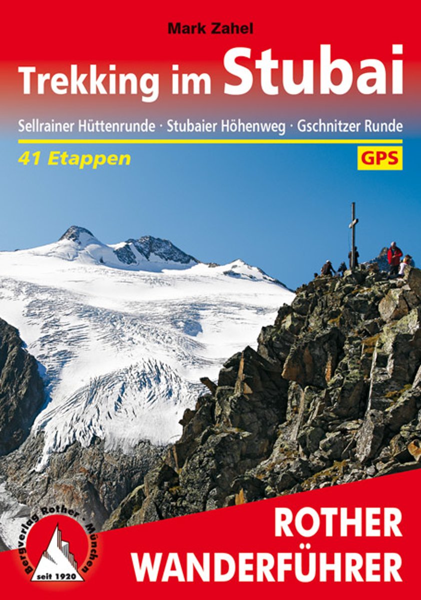
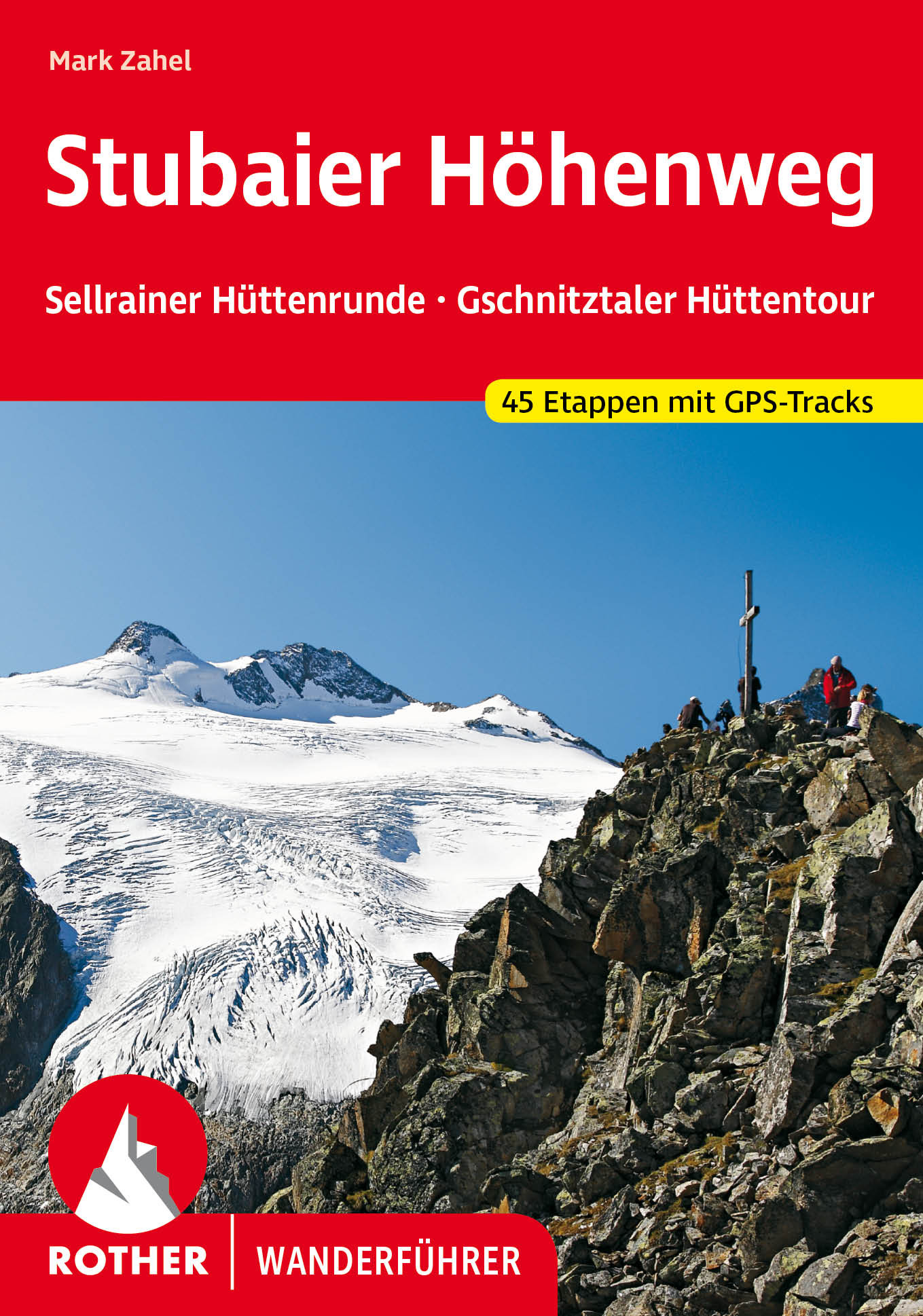
- Trekking im Stubai
- Wanderungen von Hütte zu Hütte bieten im Vergleich zu herkömmlichen Tagestouren ein deutliches Mehr: mehr Zeit zum Abschalten vom Alltag, mehr besondere Stimmungen im Wechsel der Tageszeiten, mehr und vielseitigere Landschaftseindrücke, kurzum: mehr Erlebniswert! Eine Region, um die mannigfaltigen Facetten des »Hüttentrekkings« bestens... Read more
- Also available from:
- Bol.com, Belgium
Bol.com
Belgium
2013
Belgium
2013
- Trekking im Stubai
- Wanderungen von Hütte zu Hütte bieten im Vergleich zu herkömmlichen Tagestouren ein deutliches Mehr: mehr Zeit zum Abschalten vom Alltag, mehr besondere Stimmungen im Wechsel der Tageszeiten, mehr und vielseitigere Landschaftseindrücke, kurzum: mehr Erlebniswert! Eine Region, um die mannigfaltigen Facetten des »Hüttentrekkings« bestens... Read more
- Also available from:
- Bol.com, Belgium
Bol.com
Netherlands
2021
Netherlands
2021
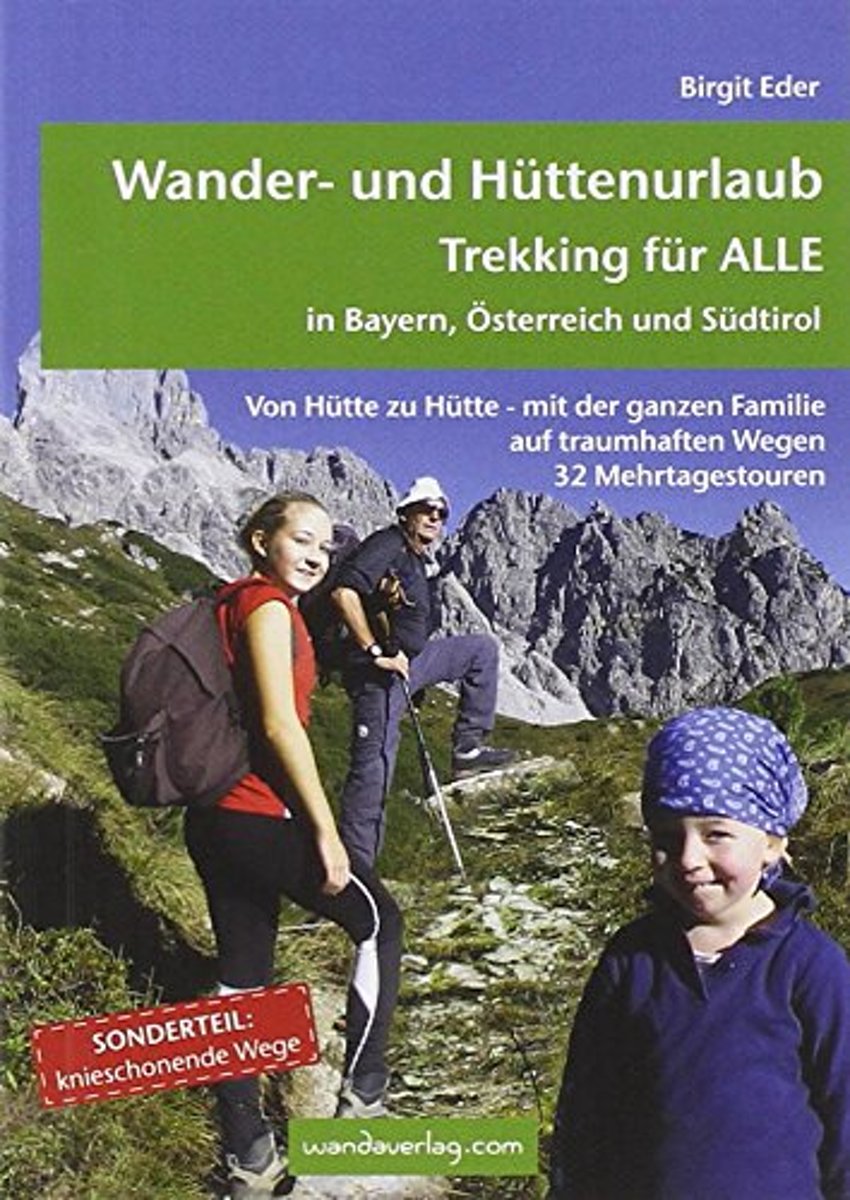
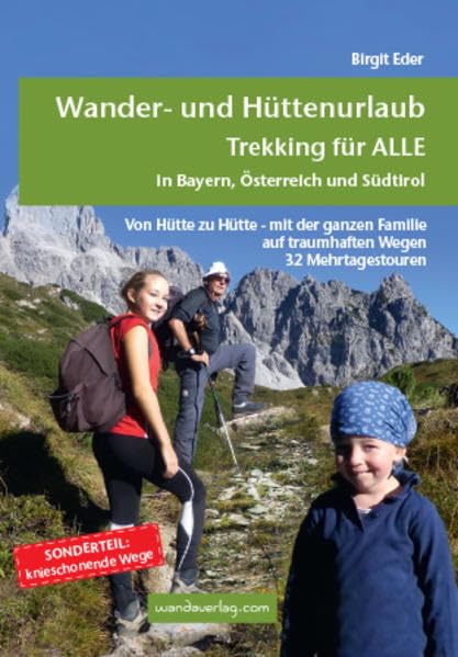
- Wander- und H ttenurlaub. Trekking f r ALLE in Bayern, Österreich und S dtirol
- Von H tte zu H tte mit leichtem Gep ck zu wandern, ist eine wunderbare Art, dem Alltag zu entfliehen. Die spannenden Mehrtagestouren sind in leicht zu bew ltigende Etappen unterteilt, die nach Kondition oder Laune zusammengefasst werden k nnen. Darum ist dieser Trekkingf hrer f r EinsteigerInnen wie f r Versierte gleicherma en eine Fundgrube.... Read more
- Also available from:
- Bol.com, Belgium
- De Zwerver, Netherlands
Bol.com
Belgium
2021
Belgium
2021
- Wander- und H ttenurlaub. Trekking f r ALLE in Bayern, Österreich und S dtirol
- Von H tte zu H tte mit leichtem Gep ck zu wandern, ist eine wunderbare Art, dem Alltag zu entfliehen. Die spannenden Mehrtagestouren sind in leicht zu bew ltigende Etappen unterteilt, die nach Kondition oder Laune zusammengefasst werden k nnen. Darum ist dieser Trekkingf hrer f r EinsteigerInnen wie f r Versierte gleicherma en eine Fundgrube.... Read more
De Zwerver
Netherlands
2021
Netherlands
2021
- Wandelgids Wander- und Hüttenurlaub. Trekking für alle in Bayern, Österreich und Südtirol | Wandaverlag
- Von Hütte zu Hütte mit leichtem Gepäck zu wandern, ist eine wunderbare Art, dem Alltag zu entfliehen. Die spannenden Mehrtagestouren sind in leicht zu bewältigende Etappen unterteilt, die nach Kondition oder Laune zusammengefasst werden können. Darum ist dieser Trekkingführer für EinsteigerInnen wie für Versierte gleichermaßen eine Fundgrube.... Read more
- Also available from:
- Bol.com, Belgium
Bol.com
Netherlands
2012
Netherlands
2012
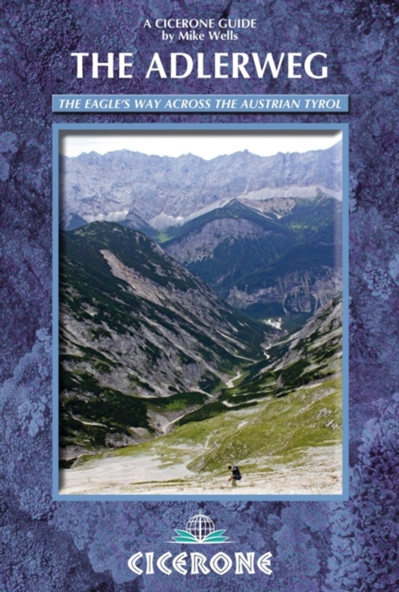
- The Adlerweg
- The Adlerweg (or Eagle's Way) is a well maintained and waymarked 300km path traversing the length of the Austrian Tyrol from St Johann in the east to St Anton in the west. It follows established mountain and valley tracks to traverse the length of the Austrian state of Tyrol from east to west. 6 low-level alternative stages and a challenging 8... Read more
- Also available from:
- Bol.com, Belgium
Bol.com
Belgium
2012
Belgium
2012
- The Adlerweg
- The Adlerweg (or Eagle's Way) is a well maintained and waymarked 300km path traversing the length of the Austrian Tyrol from St Johann in the east to St Anton in the west. It follows established mountain and valley tracks to traverse the length of the Austrian state of Tyrol from east to west. 6 low-level alternative stages and a challenging 8... Read more

Bol.com
Netherlands
Netherlands
- Over the Top & Back Again
- Book of the Year Bronze Award 2010 (travel essays category), ForeWord Magazine After hiking some of the world's great trails, Brandon Wilson was excited to hear about the Via Alpina, paths running across eight countries on the backbone of the Alps. Besides promising immersion into Alpine life and wilderness, it was the ultimate adventure. It... Read more
- Also available from:
- Bol.com, Belgium
Bol.com
Belgium
Belgium
- Over the Top & Back Again
- Book of the Year Bronze Award 2010 (travel essays category), ForeWord Magazine After hiking some of the world's great trails, Brandon Wilson was excited to hear about the Via Alpina, paths running across eight countries on the backbone of the Alps. Besides promising immersion into Alpine life and wilderness, it was the ultimate adventure. It... Read more
More books…
Maps

Stanfords
United Kingdom
United Kingdom
- Goms - Aletsch
- Goms - Aletsch area of the Bernese Oberland at 1:50,000 in a series from Hallwag covering Switzerland’s popular hiking regions on light, waterproof and tear-resistant maps highlighting long-distance paths: the nine national routes plus special regional routes, as well as other local hiking trails.Cartography is similar to that used both in... Read more

Stanfords
United Kingdom
United Kingdom
- Styrian Winelands - Southwest Styria F&B WK411
- Styrian Winelands area south-eastern Austria presented at 1:50,000 in a series of contoured and GPS compatible outdoor leisure map from Freytag & Berndt with hiking and cycling routes, mountain huts, campsites and youth hostels, local bus stops, plus other tourist information. To see the list of currently available titles in this series please... Read more

Stanfords
United Kingdom
United Kingdom
- Zell am See - Kaprun - Saalbach F&B WK382
- Zell-am-See - Kaprun - Saalbach area of the Austrian Alps presented at 1:50,000 in a series of contoured and GPS compatible outdoor leisure map from Freytag & Berndt with hiking and cycling routes, mountain huts, campsites and youth hostels, local bus stops, plus other tourist information. To see the list of currently available titles in this... Read more

Stanfords
United Kingdom
United Kingdom
- Mayrhofen - Zillertal Alps - Gerlos - Krimml - Tuxertal - Zell im Zillertal F&B WK152
- Mayrhofen - Zillertal Alps - Gerlos - Krimml - Tuxertal - Zell im Zillertal area of the Austrian Alps presented at 1:50,000 in a series of contoured and GPS compatible outdoor leisure map from Freytag & Berndt with hiking and cycling routes, mountain huts, campsites and youth hostels, local bus stops, plus other tourist information.To see the... Read more

Stanfords
United Kingdom
United Kingdom
- Achensee - Rofan - Unterinntal F&B WK321
- Achensee - Rofan - Unterinntal area of the Austrian Alps north-east of Innsbruck presented at 1:50,000 in a series of contoured and GPS compatible outdoor leisure map from Freytag & Berndt with hiking and cycling routes, mountain huts, campsites and youth hostels, local bus stops, plus other tourist information. To see the list of currently... Read more

Stanfords
United Kingdom
United Kingdom
- Taygetos - North Taygetos Anavasi 8.1
- The Taygetos range between Sparta and Kalamata at 1:50,000 on a contoured, GPS compatible map from Anavasi with on the reverse a special map highlighting the region’s numerous hiking trails, including the course of the E4 European long-distance path.On one side is the main map of the area with excellent presentation of its topography by... Read more

Stanfords
United Kingdom
United Kingdom
- Greece: Attika and Central Greece Road Atlas
- Road Atlas of Attika, the region around Athens, and Central Greece from Anavasi, in an A4 paperback format, with contoured mapping at 1:50,000, a 2km UTM grid for GPS users, very detailed road classification, hiking paths, and place names in both Greek and Latin alphabets.The main section of the atlas has 219 pages of detailed maps with... Read more

Stanfords
United Kingdom
United Kingdom
- Heidiland - UNESCO Tectonic Arena Sardona 50K K+F Hiking Map No. 33
- Heidiland, including the Swiss Tectonic Arena Sardona – a UNESCO World Heritage Site, at 1:50,000 in Kümmerly + Frey’s hiking series of Switzerland printed on light, waterproof and tear-resistant plastic paper. Coverage includes Walensee, Flumserberg, Pizol, Weisstannental, Sarganserland and Taminatal. Hiking trails highlighted on the map... Read more

Stanfords
United Kingdom
United Kingdom
- Venedigergruppe - Oberpinzgau Kompass 38
- Venedigergruppe - Oberpinzgau (No. 38), a detailed, GPS compatible map at 1:50,000 from Kompass with local and long-distance footpaths, cycling routes, accommodation, etc, printed on durable, waterproof and tear-resistant synthetic paper. This title has on the reverse an additional panorama map of the region.KOMPASS HIKING & RECREATIONAL... Read more

Stanfords
United Kingdom
United Kingdom
- Vorderes Zillertal - Achensee - Alpbachtal - Wildschonau Kompass 28
- Vorderes Zillertal - Alpbach - Rofan - Wildschönau (No. 28), a detailed, GPS compatible map at 1:50,000 from Kompass with local and long-distance footpaths, cycling routes, accommodation, etc, printed on durable, waterproof and tear-resistant synthetic paper. This title has on the reverse an additional panorama map of the region. KOMPASS HIKING... Read more

Stanfords
United Kingdom
United Kingdom
- Kitzbühel F&B
- Street plan of Kitzbühel with on the reverse a detailed map at 1:50,000 of the resort’s environs highlighting numerous hiking trails and cycling or mountain bike routes. The plan shows one way streets and car parks, railway stations and various places of interest for which brief multilingual descriptions are provided. On the reverse is a... Read more
Stanfords
United Kingdom
United Kingdom
- Kufstein - Walchsee - St. Johann in Tirol Kompass 09
- Kufstein - Walchsee - St.Johann in Tirol area in a detailed, GPS compatible map at 1:25,000 from Kompass with local and long-distance footpaths, cycling routes, accommodation, etc, printed on durable, waterproof and tear-resistant synthetic paper. KOMPASS HIKING & RECREATIONAL MAPS:This title is part of an extensive series covering Austria,... Read more

Stanfords
United Kingdom
2013
United Kingdom
2013
- Grossvenediger - Hohe Tauern NP - Matrei - Felber - Tauern - Oberpinzgau K+F Outdoor Map 12
- Grossvenediger - Hohe Tauern NP - Matrei - Felber - Tauern - Oberpinzgau area of the Tyrol at 1:35,000 on a GPS compatible, double-sided map from Kümmerly+Frey printed on sturdy, waterproof and tear-resistant synthetic paper; contoured, with hiking, cycling and ski routes, accommodation facilities, locations for other recreational activities,... Read more

Stanfords
United Kingdom
United Kingdom
- Olympus Geopsis 139
- Mt Olympus in a series of waterproof and tear-resistant hiking maps at scales varying from 1:50,000 to 1:10,000, with a UTM grid for GPS users. Contour interval varies depending on the scale, on most maps it is 20m. Relief shading, spot heights, springs, seasonal streams and, in most titles, landscape/land-use variations, e.g. forests,... Read more
Stanfords
United Kingdom
United Kingdom
- Adelboden - Lenk
- Adelboden - Lenk area of the western Bernese Oberland, from Gstaad to Frutigen and Leukerbad at 1:50,000 in a series from Hallwag covering Switzerland’s popular hiking regions on light, waterproof and tear-resistant maps highlighting long-distance paths: the nine national routes plus special regional routes, as well as other local hiking... Read more