
Kanchenjunga
Description
- Height 8586.00 m
Links
Facts
Reports
Guides and maps
Lodging
Organisations
Tour operators
GPS
Other
Books


The Book Depository
United Kingdom
United Kingdom
- The Great Himalaya Trail N3
- The Rara, Jumla & Mugu Section Read more


- Also available from:
- Bol.com, Netherlands
- Bol.com, Belgium
Bol.com
Netherlands
2015
Netherlands
2015
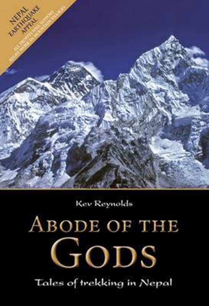
- Abode of the Gods
- An inspirational book capturing the wonders of trekking in Nepal, in eight vivid stories from Kev Reynolds' journals exploring the Himalaya. Landscape, people, sounds and smells come to life as they are encountered for the first time in the Everest, Annapurna, Langtang, Kangchenjunga, Manaslu, Dolpo, Mugu and the far west of Nepal. Read more
Bol.com
Belgium
2015
Belgium
2015
- Abode of the Gods
- An inspirational book capturing the wonders of trekking in Nepal, in eight vivid stories from Kev Reynolds' journals exploring the Himalaya. Landscape, people, sounds and smells come to life as they are encountered for the first time in the Everest, Annapurna, Langtang, Kangchenjunga, Manaslu, Dolpo, Mugu and the far west of Nepal. Read more
Bol.com
Netherlands
Netherlands
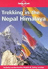
- Trekking In The Nepal Himalaya
- Everest, Annapurna, Kanchenjunga, Machhapuchhare, Makalu - a roll call of inspiration awaits trekkers in the Nepal Himalaya. Discover its famous peaks and unique culture in this authoritative guide by one of the region's most experienced trekkers. 22 new contour maps for major trekking areas, supplemented with the author's GPS data. Detailed... Read more
- Also available from:
- Bol.com, Belgium
Bol.com
Belgium
Belgium
- Trekking In The Nepal Himalaya
- Everest, Annapurna, Kanchenjunga, Machhapuchhare, Makalu - a roll call of inspiration awaits trekkers in the Nepal Himalaya. Discover its famous peaks and unique culture in this authoritative guide by one of the region's most experienced trekkers. 22 new contour maps for major trekking areas, supplemented with the author's GPS data. Detailed... Read more
Bol.com
Netherlands
Netherlands
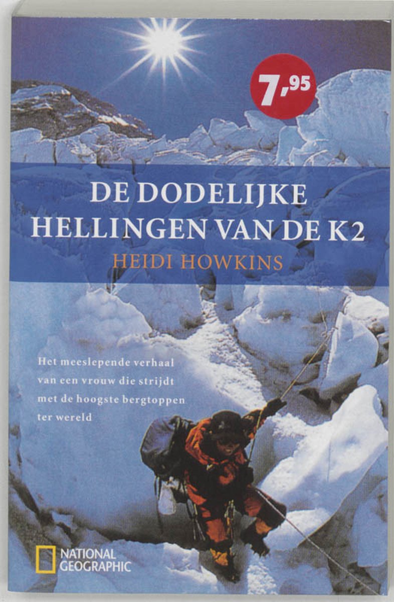
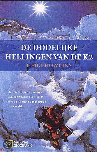
- De dodelijke hellingen van de K2
- Voor bergbeklimmers is de K2 de ultieme uitdaging. De Mount Everest is hoger, maar de K2 is steiler, lastiger en dodelijker. Slechts 183 mannen en 5 vrouwen hebben de gevreesde top van de K2 bereikt sinds hij in 1954 ontdekt is, en van hen zijn er tenminste 21 nooit teruggekomen...Bij haar eerste poging in 1998 was Heidi Howkins een van de... Read more
- Also available from:
- Bol.com, Belgium
Bol.com
Belgium
Belgium
- De dodelijke hellingen van de K2
- Voor bergbeklimmers is de K2 de ultieme uitdaging. De Mount Everest is hoger, maar de K2 is steiler, lastiger en dodelijker. Slechts 183 mannen en 5 vrouwen hebben de gevreesde top van de K2 bereikt sinds hij in 1954 ontdekt is, en van hen zijn er tenminste 21 nooit teruggekomen...Bij haar eerste poging in 1998 was Heidi Howkins een van de... Read more
Bol.com
Netherlands
Netherlands
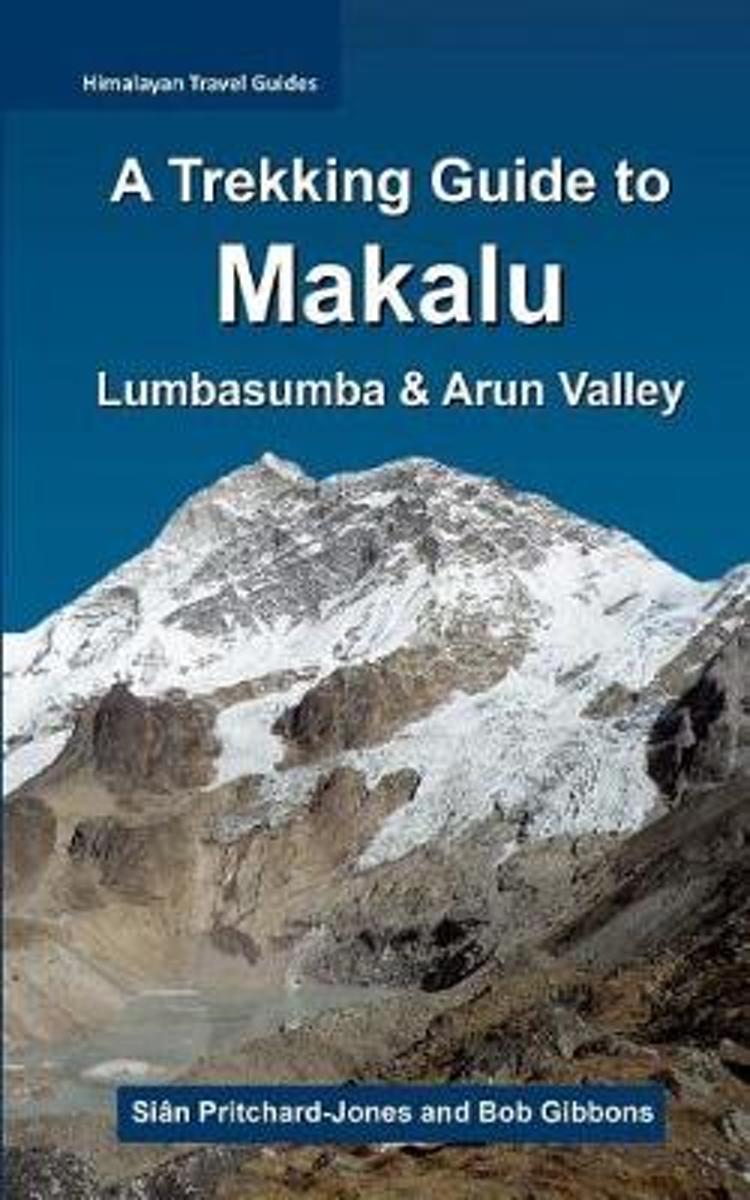
- A Trekking Guide to Makalu
- The trek to Makalu Base Camp is a sensational experience that has been ignored for so long by so many. Where else in the Himalaya can one stand just a few hundred metres below 3800m of soaring rock, ice and glaciers? Unlike Everest and Kanchenjunga, which are both viewed from a few kilometres away from the actual faces, Makalu towers directly... Read more
- Also available from:
- Bol.com, Belgium
Bol.com
Belgium
Belgium
- A Trekking Guide to Makalu
- The trek to Makalu Base Camp is a sensational experience that has been ignored for so long by so many. Where else in the Himalaya can one stand just a few hundred metres below 3800m of soaring rock, ice and glaciers? Unlike Everest and Kanchenjunga, which are both viewed from a few kilometres away from the actual faces, Makalu towers directly... Read more
Bol.com
Netherlands
Netherlands
- De Dodelijke Hellingen Van De K2
- Voor bergbeklimmers is de K2 de ultieme uitdaging. De Mount Everest is hoger, maar de K2 is steiler, lastiger en dodelijker. Slechts 183 mannen en 5 vrouwen hebben de gevreesde top van de K2 bereikt sinds hij in 1954 ontdekt is, en van hen zijn er tenminste 21 nooit teruggekomen...Bij haar eerste poging in 1998 was Heidi Howkins een van de... Read more
- Also available from:
- Bol.com, Belgium
Bol.com
Belgium
Belgium
- De Dodelijke Hellingen Van De K2
- Voor bergbeklimmers is de K2 de ultieme uitdaging. De Mount Everest is hoger, maar de K2 is steiler, lastiger en dodelijker. Slechts 183 mannen en 5 vrouwen hebben de gevreesde top van de K2 bereikt sinds hij in 1954 ontdekt is, en van hen zijn er tenminste 21 nooit teruggekomen...Bij haar eerste poging in 1998 was Heidi Howkins een van de... Read more
Bol.com
Netherlands
2015
Netherlands
2015
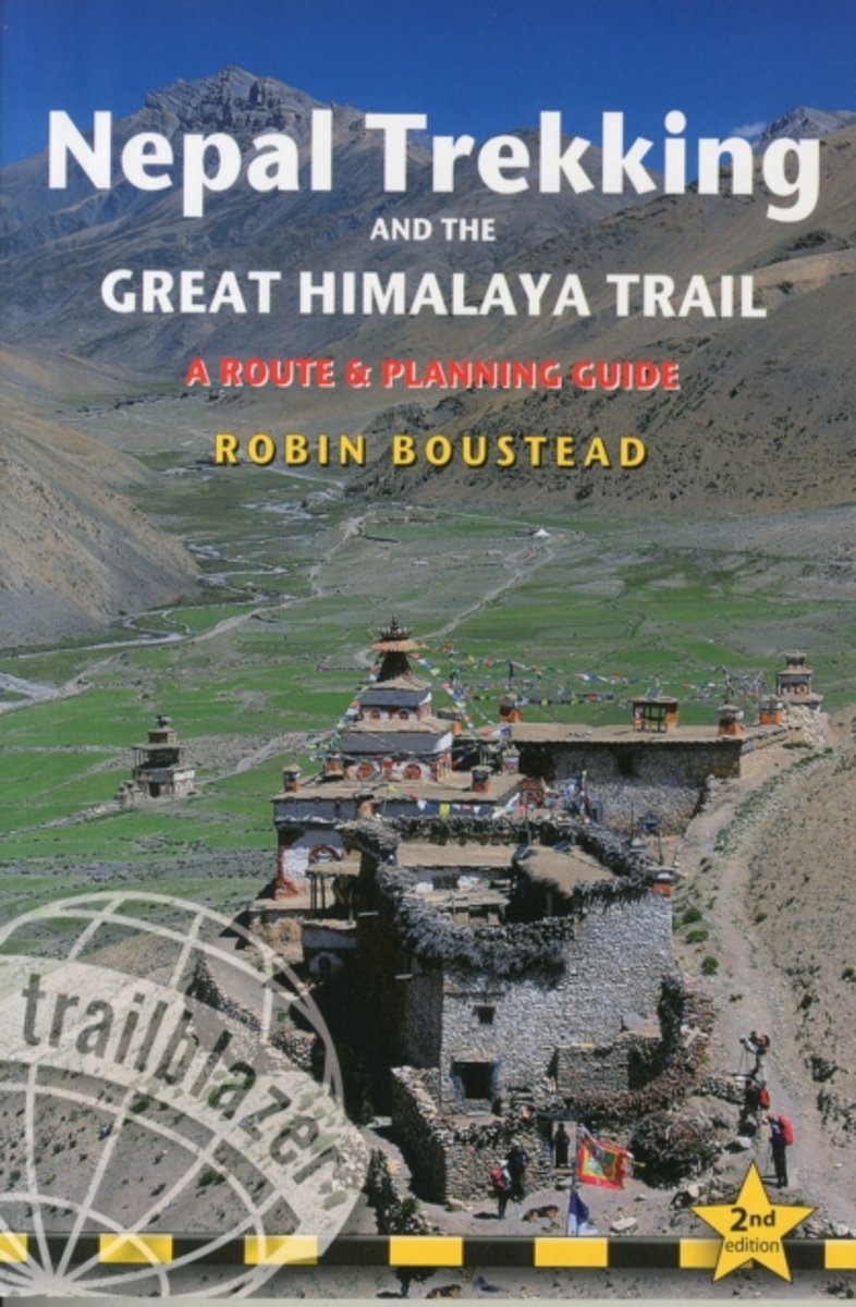
- Nepal Trekking & the Great Himalaya Trail
- With extensive sections to help choose a trekking region, this is a route and planning guide for anyone organising a trekking holiday in Nepal. It includes the most popular routes as well as the newest trekking areas plus the most extreme route of all, the 160-day Great Himalaya Trail. There are route guides to the following regions:... Read more
- Also available from:
- Bol.com, Belgium
Bol.com
Belgium
2015
Belgium
2015
- Nepal Trekking & the Great Himalaya Trail
- With extensive sections to help choose a trekking region, this is a route and planning guide for anyone organising a trekking holiday in Nepal. It includes the most popular routes as well as the newest trekking areas plus the most extreme route of all, the 160-day Great Himalaya Trail. There are route guides to the following regions:... Read more
Bol.com
Netherlands
Netherlands
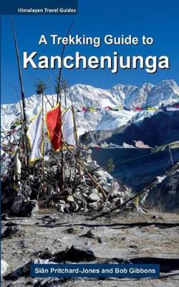
- A Trekking Guide to Kanchenjunga
- Eastern Nepal has long been neglected by all but the most ardent trekkers, due to its remoteness and difficult access. Dominating the northern horizon from afar is Kanchenjunga. The five treasures of the snows, as it is known locally, is one of the most difficult and dangerous peaks in the Himalaya. Of all the highest peaks in Nepal,... Read more
- Also available from:
- Bol.com, Belgium
Bol.com
Belgium
Belgium
- A Trekking Guide to Kanchenjunga
- Eastern Nepal has long been neglected by all but the most ardent trekkers, due to its remoteness and difficult access. Dominating the northern horizon from afar is Kanchenjunga. The five treasures of the snows, as it is known locally, is one of the most difficult and dangerous peaks in the Himalaya. Of all the highest peaks in Nepal,... Read more
Bol.com
Netherlands
Netherlands
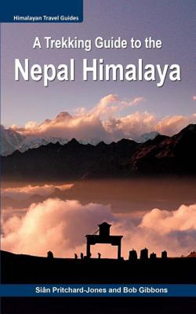
- A Trekking Guide to the Nepal Himalaya
- For centuries the inspirational spires of the Himalaya have been a magical draw for mystics, sages, hermits and pilgrims. Today the fascination with these highest mountains continues for trekkers, climbers, naturalists, explorers and the curious, all seeking a new experience. Secretive and serene, the Nepal Himalaya are a fairytale wonderland... Read more
- Also available from:
- Bol.com, Belgium
Bol.com
Belgium
Belgium
- A Trekking Guide to the Nepal Himalaya
- For centuries the inspirational spires of the Himalaya have been a magical draw for mystics, sages, hermits and pilgrims. Today the fascination with these highest mountains continues for trekkers, climbers, naturalists, explorers and the curious, all seeking a new experience. Secretive and serene, the Nepal Himalaya are a fairytale wonderland... Read more
Bol.com
Netherlands
Netherlands
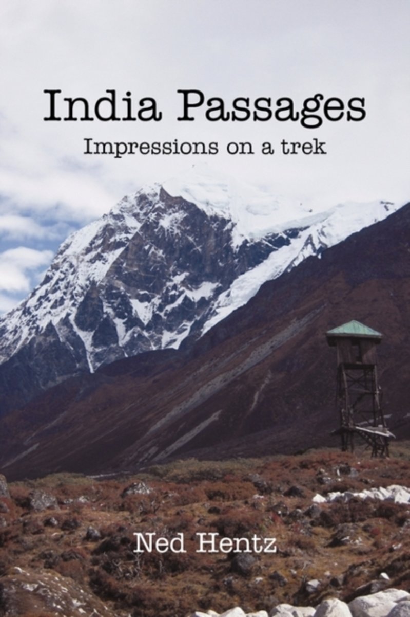
- India Passages
- This is a travel journal the author wrote while visiting India for the first time and trekking for 18 days in Nepal and the Himalayas. It begins in Delhi and moves to the Taj Mahal, a tea estate and plantation in Darjeeling, Nepal and ends in Sikkim where the author hikes to Guicha La (16,400 feet) at the base of Kanchenjunga - the third... Read more
- Also available from:
- Bol.com, Belgium
Bol.com
Belgium
Belgium
- India Passages
- This is a travel journal the author wrote while visiting India for the first time and trekking for 18 days in Nepal and the Himalayas. It begins in Delhi and moves to the Taj Mahal, a tea estate and plantation in Darjeeling, Nepal and ends in Sikkim where the author hikes to Guicha La (16,400 feet) at the base of Kanchenjunga - the third... Read more
Maps

Stanfords
United Kingdom
2017
United Kingdom
2017
- Nepal Nelles
- Nepal on a waterproof and tear-resistant map from Nelles, presenting the whole country at 1:1,500,000, with its more visited central and eastern regions also shown in more detail at 1:480,000, plus enlargement of the Kathmandu Valley and the Rara Lake area and street plans of central Kathmandu City, Patan, Bhaktapur and the lakeside district of... Read more

Stanfords
United Kingdom
United Kingdom
- Kanchenjunga Region Great Himalaya Trail Map
- Kanchenjunga Region, map no. 101, at 1:100,000 on a waterproof and tear-resistant trekking map from the Himalayan MapHouse in their series covering the whole of northern Nepal. The map highlights main trekking routes from Taplejung, including Kanchenjunga Base Camp Trek, Yalung Base Camp Trek, Phathibhara Trek, the route along the Yangma Khola... Read more

De Zwerver
Netherlands
Netherlands
- Wandelkaart The Great Himalaya Trail | GHT
- Prachtige kaartenserie van één van 'swerelds mooiste wandeltochten. The Far West is one of the least explored areas of Nepal. Its area is bounded to the east by mighty, turquoise Karnali river which flows from Tibet’s sacred Mount Kailash. Myth and superstition remain part of the fabric of life here. Though the Nepali language originated... Read more

Stanfords
United Kingdom
United Kingdom
- Nepal Reise Know-How
- Nepal on an indexed, waterproof and tear-resistant road map, ideal for locating the country`s numerous famous peaks, with topographic and tourist information, and enlargements for Kathmandu, Pokhara, and Chitwan regions, plus Bhaktapur. The map, published by Reise Know-How as part of their highly acclaimed World Mapping Project, is double-sided... Read more
- Also available from:
- De Zwerver, Netherlands
De Zwerver
Netherlands
Netherlands
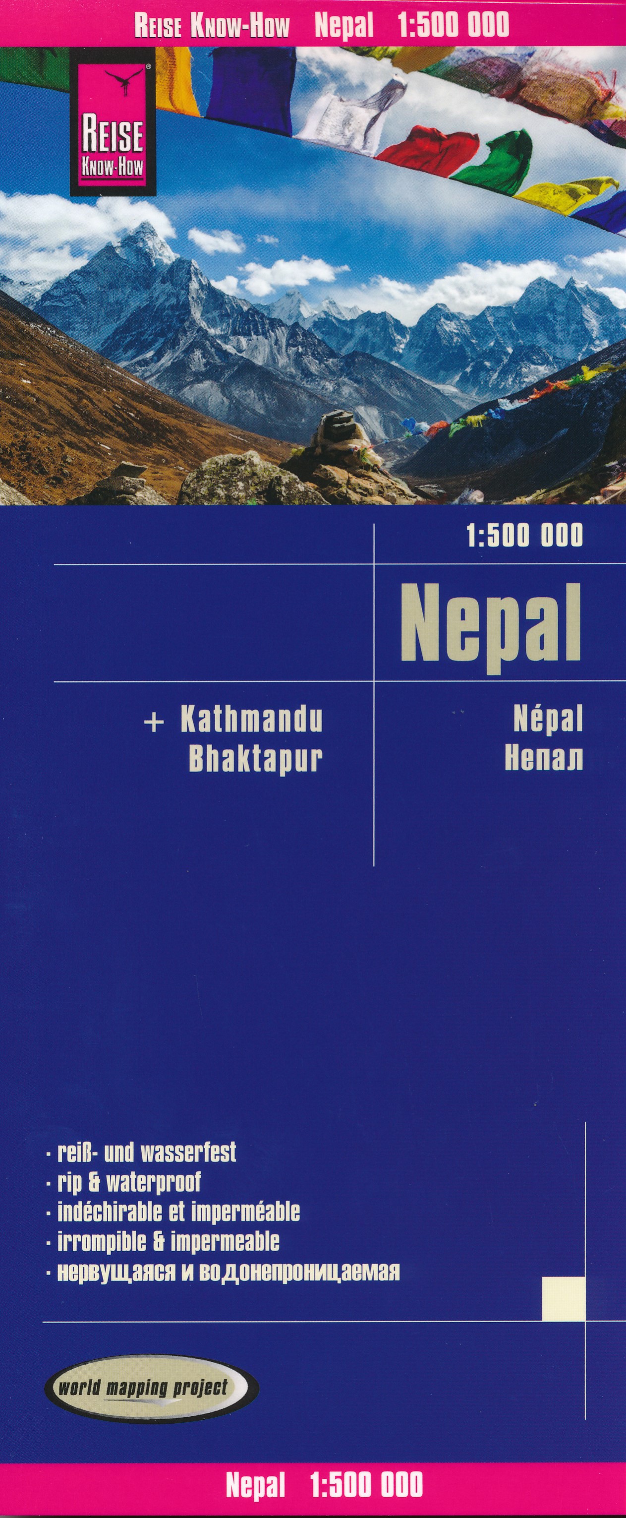
- Wegenkaart - landkaart Nepal | Reise Know-How Verlag
- Nepal on an indexed, waterproof and tear-resistant road map, ideal for locating the country`s numerous famous peaks, with topographic and tourist information, and enlargements for Kathmandu, Pokhara, and Chitwan regions, plus Bhaktapur. The map, published by Reise Know-How as part of their highly acclaimed World Mapping Project, is double-sided... Read more