Amsterdam
Description
Capital of The Netherlands
Trails in this region
Links
Facts
Reports
Guides and maps
Lodging
Organisations
Tour operators
GPS
Other
Books

Stanfords
United Kingdom
2021
United Kingdom
2021
- DK Eyewitness Top 10 Amsterdam
- With its cafes and canals, modern art galleries and colossal museums, Amsterdam is at once a historic cultural powerhouse and a laidback cosmopolitan city. Your DK Eyewitness Top 10 travel guide ensures you`ll find your way around Amsterdam with absolute ease.Our updated Top 10 travel guide breaks down the best of Amsterdam into helpful lists... Read more

Stanfords
United Kingdom
United Kingdom
- Moon Amsterdam Walks (Second Edition)
- Experience Amsterdam like a local: on foot! Wander along Amsterdam`s sparkling canals and bask in the diversity of its village vibes and cosmopolitan culture. Inside you`ll find:Six customisable walks through the city`s hippest neighbourhoods, including the Center, Westerpark, the Jordaan, De Pijp, and more, with color-coded stops and... Read more

Stanfords
United Kingdom
United Kingdom
- Amsterdam Citymap & More
- Amsterdam in a series of handy size, detailed and indexed city centre street plans of main towns in the Netherlands and Flanders including Brussels from Falk, highlighting recommended walks and places of interest, with six best sights prominently marked and cross-referenced to brief descriptions. The plans also indicate publishers’... Read more

Stanfords
United Kingdom
United Kingdom
- Rick Steves Pocket Amsterdam (Third Edition)
- Make the most of every day and every dollar with Rick Steves! This colourful, compact guidebook is perfect for spending a week or less in Amsterdam:City walks and tours: Six detailed tours and walks showcase Amsterdam`s essential sights, including the Rijksmuseum, Van Gogh Museum, and the Anne Frank House, plus neighbourhood walks through the... Read more

Stanfords
United Kingdom
United Kingdom
- DK Eyewitness Amsterdam
- Welcome to Amsterdam - a city where the past and present collide.Whether you want to cruise the reflective waterways, wonder at the works of the Old Masters in the Rijksmuseum, or cycle through the Bulbfields, your DK Eyewitness travel guide makes sure you experience all that Amsterdam has to offer.Rich in heritage, Amsterdam`s perfectly... Read more

Stanfords
United Kingdom
United Kingdom
- Amsterdam Urban Nature Map
- The map of Amsterdam is a large-format (952mm x 1270mm), folded paper map. Printed by the best cartographic press in Europe — the same as Ordnance Survey maps — and custom drawn to highlight all the places to explore. Printed with special Pantone spot inks on top of process colours.Urban Good collaborated with Nature Desks – an Amsterdam based... Read more

Stanfords
United Kingdom
United Kingdom
- St-Paul and Amsterdam Islands IGN 4460A
- The islands of Saint-Paul and Amsterdam, part of the Terres Australes et Antarctiques Françaises, on a detailed topographic survey map at 1:25,000 from the IGN. Each island is presented on a separate panel, with topography shown by contours at 10m intervals, enhanced by relief shading and graphic relief. The panels have latitude and longitude... Read more

Stanfords
United Kingdom
United Kingdom
- Moon London Walks - Second Edition
- Whether you`re shopping on the high street, strolling lively street markets, or admiring renowned modern art, experience London like a local: on foot. Inside you`ll find:Six customisable walks through the city`s hippest neighbourhoods, including Shoreditch, Chelsea, Marylebone, and more, with colour-coded stops and turn-by-turn... Read more
- Also available from:
- The Book Depository, United Kingdom

The Book Depository
United Kingdom
United Kingdom
- Moon London Walks (Second Edition)
- Whether you`re shopping on the high street, strolling lively street markets, or admiring renowned modern art, experience London like a local: on foot. Inside you`ll find:Six customisable walks through the city`s hippest neighbourhoods, including Shoreditch, Chelsea, Marylebone, and more, with colour-coded stops and turn-by-turn... Read more

Stanfords
United Kingdom
United Kingdom
- Moon Paris Walks (Second Edition)
- Experience the City of Lights like a local: on foot! Stroll along cobblestone alleys and grand boulevards, discover chic restaurants and trendy shops, and bask in la vie Parisienne with Moon Paris Walks. Inside you`ll find:Six customisable walks through the city`s hippest neighbourhoods, including Montmartre, le Marais, Saint Germain, and more,... Read more
- Also available from:
- The Book Depository, United Kingdom

The Book Depository
United Kingdom
United Kingdom
- Moon Paris Walks (Second Edition)
- Experience the City of Lights like a local: on foot! Stroll along cobblestone alleys and grand boulevards, discover chic restaurants and trendy shops, and bask in la vie Parisienne with Moon Paris Walks. Inside you`ll find:Six customisable walks through the city`s hippest neighbourhoods, including Montmartre, le Marais, Saint Germain, and more,... Read more


The Book Depository
United Kingdom
United Kingdom
- Moon Rome Walks (Second Edition)
- Experience Rome like a local: on foot! Enjoy a passeggiata through the vibrant streets and cobblestone alleyways of the Eternal City, an ancient capital bustling with modern life. Inside you`ll find:Six customisable walks through the city`s hippest neighbourhoods, including Prati, Trastevere, Monti, and more, with colour-coded stops and... Read more
Bol.com
Netherlands
Netherlands
- Moon Amsterdam Walks
- See Amsterdam Like a Local!Experience the best of Amsterdam on foot! Stop in for a drink or a coffee, discover young new designers, and meet the locals, all while enjoying the can't-miss destinations of this beautiful European city.Within Moon Amsterdam Walks you'll find:* Six customizable walks through the hippest neighborhoods, from a... Read more
- Also available from:
- Bol.com, Belgium
Bol.com
Belgium
Belgium
- Moon Amsterdam Walks
- See Amsterdam Like a Local!Experience the best of Amsterdam on foot! Stop in for a drink or a coffee, discover young new designers, and meet the locals, all while enjoying the can't-miss destinations of this beautiful European city.Within Moon Amsterdam Walks you'll find:* Six customizable walks through the hippest neighborhoods, from a... Read more
Bol.com
Netherlands
Netherlands
- Van vuilkist tot bovenlader
- Dit boek beschrijft de ontwikkeling van het wagenpark vande stadsreiniging van Amsterdam over de periode 1946 tot2016, een periode waarin er op dit terrein veel is veranderd.De vloot huisvuilwagens in Amsterdam was de TweedeWereldoorlog goed doorgekomen. Het bestond sinds dejaren 1930 van de vorige eeuw uit wagens met een... Read more
- Also available from:
- Bol.com, Belgium
Bol.com
Belgium
Belgium
- Van vuilkist tot bovenlader
- Dit boek beschrijft de ontwikkeling van het wagenpark vande stadsreiniging van Amsterdam over de periode 1946 tot2016, een periode waarin er op dit terrein veel is veranderd.De vloot huisvuilwagens in Amsterdam was de TweedeWereldoorlog goed doorgekomen. Het bestond sinds dejaren 1930 van de vorige eeuw uit wagens met een... Read more
Bol.com
Netherlands
Netherlands
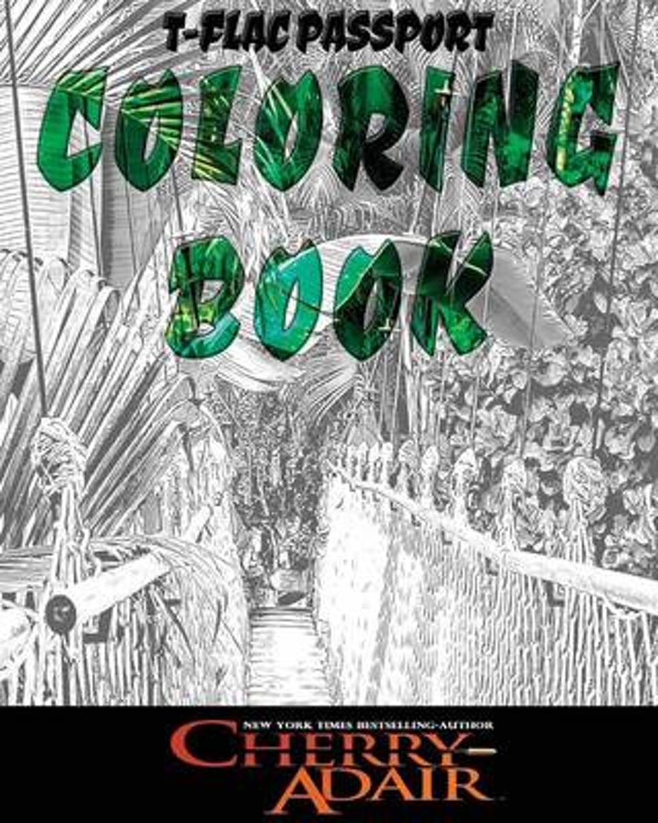
- T-Flac Coloring Book
- T-FLAC PASSPORT COLORING BOOK Stimulate your senses and let your imagination soar with the intriguing international locales of my T-FLAC spies. Carefully selected images depict the veritable calm preceding the storms I create in my novels. The drawings are scenes of that quick flash in time that exists before all hell breaks loose. Let your... Read more
- Also available from:
- Bol.com, Belgium
Bol.com
Belgium
Belgium
- T-Flac Coloring Book
- T-FLAC PASSPORT COLORING BOOK Stimulate your senses and let your imagination soar with the intriguing international locales of my T-FLAC spies. Carefully selected images depict the veritable calm preceding the storms I create in my novels. The drawings are scenes of that quick flash in time that exists before all hell breaks loose. Let your... Read more
Maps

Stanfords
United Kingdom
2012
United Kingdom
2012
- Amsterdam Waterland
- Amsterdam Waterland on a waterproof, tear-resistant, GPS compatible walking map at 1:25,000 from Trage Paden, in a series of maps with extensive overprint for long-distance and local walking routes. GPS waypoints and route profiles are available for download from the publisher’s website.Contours used in this map series vary between 2,5 to 5m... Read more

Stanfords
United Kingdom
2012
United Kingdom
2012
- Amsterdam Amstelland
- Amsterdam Amstelland on a waterproof, tear-resistant, GPS compatible walking map at 1:25,000 from Trage Paden, in a series of maps with extensive overprint for long-distance and local walking routes. GPS waypoints and route profiles are available for download from the publisher’s website.Contours used in this map series vary between 2,5 to 5m... Read more

Stanfords
United Kingdom
United Kingdom
- IJsselmeer Cycle Tour - Zuiderzee Route - Texel and Vlieland Bikeline Map-Guide
- A tour around the Ijsselmeer, a 405km route which includes Amsterdam and a spur to the Dutch Frisian islands of Texel and Vlieland, presented by the Verlag Esterbauer in guide with maps at 1:50,000 showing the routes and their variants. Extensive information is conveyed by symbols, indicating road surface, campsites and other accommodation,... Read more

Stanfords
United Kingdom
United Kingdom
- NL3 Ijsselmeer en Randmeren
- Passage ChartsC1 Rotterdam tot IJsselmeer 1:375.000 Coastal ChartsC2 IJsselmeer Noord 1:80.000 C3 IJsselmeer Zuid 1:80.000 C4 Markermeer 1:80.000 C8A Gouwzee 1:30.000 C10 Friese Meren Oost 1:50.000 C11 Friese Meren West 1:50.000 C14 Randmeren· Gooimeer· Eemmeer 1:50.000 C15 Randmeren · Wolderwijd 1:50.000 C16 Randmeren · Veluwemeer 1:50.000 C17... Read more

Stanfords
United Kingdom
United Kingdom
- NL4 Rijn en Maas Delta
- Passage ChartsC1 Zuidelijke Noordzeekust · Zeeland 1: 375.000 Coastal ChartsC2 West Schouwen tot Westhoofd 1 : 50.000 C3 Westhoofd tot Europoort 1 : 50.000 C4 Europoort · Maasgeul 1 : 30.000 C5 Nieuwe Waterweg · Maassluis 1 : 25.000 C6 Rotterdam West 1 : 25.000 C7 Rotterdam Oost 1 : 25.000 C8 Zwijndrecht · Dordrecht 1 : 20.000 C9 Brielsemeer... Read more

Stanfords
United Kingdom
United Kingdom
- 2140 Rijn and Maas Delta Chart Atlas - 2018 edition SUPERCEDED
- Part of Imray’s popular small format chart coverage for the Netherlands, this atlas is a convenient A2 format, wirobound along one edge. Includes download code for more than 140 digital charts covering all of the Netherlands on the Imray Navigator charts app.Includes extensive coverage of Nieuwe Waterweg, Nieuwe- and Oude Maas, Brielse Meer,... Read more

Stanfords
United Kingdom
United Kingdom
- 2140 Rijn and Maas Delta Chart Atlas - 2019 edition
- Part of Imray’s popular small format chart coverage for the Netherlands, this atlas is a convenient A2 format, wirobound along one edge. Includes extensive coverage of Nieuwe Waterweg, Nieuwe- and Oude Maas, Brielse Meer, Spui, Noord, Dortsche Kil, Hollandsch Diep, Haringvliet, Volkerak and Grevelingenmeer. Also included are approach charts to... Read more

Stanfords
United Kingdom
United Kingdom
- 2160 IJsselmeer Chart Atlas - 2019 edition
- Part of Imray’s popular small format chart coverage for the Netherlands, this atlas is a convenient A2 format, wirobound along one edge. Includes extensive coverage of the IJsselmeer, Markermeer and Randmeren, as well as the Nordzeekanaal from IJmuiden to Amsterdam.This 2019 edition has been fully updated throughout. The latest depth surveys... Read more

Stanfords
United Kingdom
United Kingdom
- Gooi & Vechtstreek: Hilversum - Amersfoort - Utrecht
- Gooi and Vechtstreek - a popular hiking area south-east of Amsterdam - on a light, double-sided, waterproof and tear-resistant, GPS-compatible maps at 1:25,000 from ANWB, the country’s main motoring and touring organization. Coverage on the northern side extends southwards from the historic town of Naarden, and west/east between the... Read more

Stanfords
United Kingdom
United Kingdom
- Netherlands Michelin
- Netherlands at 1:400,000 from Michelin, with information on driving regulations, a distance and journey time table, plus enlargements showing in greater detail road access to Amsterdam, The Hague and Rotterdam with the Europoort and Hoek Van Holland.Roads network includes local roads and is graded according to the number of lanes. Junctions... Read more

Stanfords
United Kingdom
United Kingdom
- Fen Rail (Vennbahn) Cycle Route
- The High Fens (Vennbahn) Cycle Route, a 230-km long cycle trail from Aachen across the Hoge Venen / Hautes Fagnes Natural Park in eastern Belgium and Luxembourg to Luxembourg City, presented by the Verlag Esterbauer in guide with maps at 1:50,000 showing the route and its variants. Extensive information is conveyed by symbols, indicating road... Read more
Stanfords
United Kingdom
United Kingdom
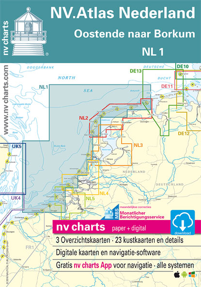
- NL1 Borkum naar Oostende
- Passage ChartsC1 Oostende tot IJmuiden 1:375.000 C2 IJmuiden tot Den Helder 1:375.000 C3 Den Helder tot Borkum 1:375.000 Coastal ChartsC4 Oostende tot Westkapelle 1:100.000 C5 Westkapelle tot Westhoofd 1:100.000 C6 Westhoofd tot Europoort 1:100.000 C7 Europoort tot Noordwijk aan Zee 1:100.000 C8 Noordwijk aan Zee tot IJmuiden 1:100.000 C9... Read more
De Zwerver
Netherlands
Netherlands
De Zwerver
Netherlands
Netherlands
More maps…