
Netherlands
Description

Is hiking possible in the Netherlands? After all, the country is flat as a pancake!
The answer is: Yes. In fact there are over 80 long distance hiking trails crisscrossing the country. The most important are labeled LAW, abbreviation for Lange Afstand Wandelpad (Dutch for Long Distance Hiking Trail). Walking them is a most enjoyable way of exploring Dutch countryside. Meadows grazing cows, sheep and horses, forests, sand dunes and wetlands, and many often centuries old towns along the way. Apart from the LAW's (red-white markings) there are (often) circular regional trails, the SP's (red-yellow markings).
The LAW's and SP's are maintained by Stichting Wandelnet, often in cooperation with the NIVON / Friends of Nature. But there are more organisations marking paths: two sport hiking organisations, the KNBLO (red-blue markings) and the NWB (orange-blue markings). Often, topoguides are issued of these paths. Lastly we must mention the provincial nature conservancy organisations, who set out interesting itineraries for nature lovers.
Recomended LAW's:
- Zuiderzeepad, 400 km, Hollands Golden Age on display.
- Trekvogelpad, 380 km, From West to East, varied trail, gives a good impression of the Netherlands as a whole.
- Maarten van Rossumpad, 308 km, also very varied.
- Wad- en Wierdenpad, 123 km, dykes, polders and vast views in the quiet north east of the country.
- Pieterpad, 492 km, maybe not the most attractive, but by far the most popular trail of the Netherlands.
Best hiking in the Netherlands is in the busy west. The Dutch Green Lung is the big empty space between the main cities The Hague, Amsterdam, Rotterdam and Utrecht. This space, barely known by the Dutch themselves (they rush along in cars), consists of polders, ingenuous waterways, dykes, lakes, and very old villages and farmsteads. The polder landscape can be found in the northern provinces too, or along the river delta. Some patches are very beautiful and you will experience real solitude, others can be boring.
All trails are waymarked, but not always very well. Luckily, there are excellent Dutch guidebooks, with an English section and with maps that show you the correct way. Several LAW's coincide with the European Long Distance Trails E2, E8, E9 and E11.
Enjoying the Netherlands is enjoying the odd encounter with people, villages, buildings, architecture, things happening, and the neat houses and gardens showing off one's high morale. There is also some remoteness in the North and North East. Dutch trails have no difficulties, except the occasional crossing of a busy road or sharing the path with horse-carts and bikers. Keep in mind you're walking on paved roads most of the time, and alternatively grassy, often wet dykes. Therefore, light waterproof shoes are best. Along most routes you will find camping sites, B&B's, shops and public transport in almost every village.
Map


Trails
- Achterhoekpad
- Airbornepad Market GardenGPX
- AlmerepadGPX
- Bevrijdingspad
- Brabants GrensdijkjespadGPX
- Brabants VennenpadGPX
- Brabantse WalGPX
- DeltapadGPX
- Dordtse Waardroute
- Drenthelaarspad
- DrenthepadGPX
- Duin- en PolderpadGPX
- Duinweg Rondwandeling
- E11GPX
- E2GPX
- E8GPX
- E9GPX
- Elfbekenpad
- Elfbergenpad
- Elfwegenpad
- Flevopad
- Floris V-padGPX
- Friese KustpadGPX
- Friese WoudenpadGPX
- Friese Woudweg
- Geert Grootepad
- GR12 - Amsterdam - ParisGPX
- GR122 - ScheldelandGPX
- GR5GPX
- GR561 - Kempen-MaaspadGPX
- GR565 - Renier SniederspadGPX
- Graaf van Hornepad
- GraafschapspadGPX
- GrebbeliniepadGPX
- GrenslandpadGPX
- Groene HartpadGPX
- Groene WisselGPX
- Groot-FrieslandpadGPX
- Grote RivierenpadGPX
- Handelsweg
- HanzestedenpadGPX
- Heerlijkheidspad
- Hertog HendrikpadGPX
- HertogenpadGPX
- Hollands KustpadGPX
- Hunze en Fivelpad
- Hunzepad
- IJsselweg
- JabikspaadGPX
- Jac. Gazenbeekweg
- JacobspadGPX
- Jacobspad LimburgGPX
- Jacobsweg Amstelredam
- Jacobsweg Amsvorde
- Jacobsweg Audenzeel
- Jacobsweg Die Haghe
- Jacobsweg Nieumeghen
- Jacobsweg Thuredrecht
- Jagerspad
- KempenGPX
- Kempen-BroekGPX
- KlompenpadenGPX
- KloosterpadGPX
- Koninklijke WegGPX
- KrijtlandpadGPX
- Kuierpaad Fryslân
- LingepadGPX
- Loop van de Drentsche Aa
- Loop van de Reest
- Loop van het Oude Diep
- Maarten van RossumpadGPX
- Maas- en PeelliniepadGPX
- Maas-NiederrheinpadGPX
- MaasduinenGPX
- MarskramerpadGPX
- Napoleonspad
- Nederlands KustpadGPX
- NoaberpadGPX
- Noord-HollandpadGPX
- North Sea TrailGPX
- NS WandeltochtenGPX
- OeverloperpadGPX
- Omringdijk WandelrouteGPX
- Omringdijkpad
- OosterscheldepadGPX
- Oude IJssel-Rijnpad
- Overijssels HavezatenpadGPX
- Peellandpad
- PelgrimspadGPX
- PieterpadGPX
- PionierspadGPX
- Reggepad & Dinkelpad
- ReynaertlandGPX
- Rijndeltapad
- Romeinse LimespadGPX
- Rondom Berg en Bosch
- Rondom de DomGPX
- Rondom de Groene Bedstee
- Rondom de Sint JanGPX
- Sallandspad
- Santiago de Compostela Pilgrims WayGPX
- ScholtenpadGPX
- Stelling van AmsterdamGPX
- Stichtse Dorpenpad
- Streekpad NijmegenGPX
- TexelpadGPX
- Tielerwaard Wandelroute
- TrekvogelpadGPX
- TwentepadGPX
- UilenspiegelpadGPX
- UtrechtpadGPX
- Van Wad tot IJ
- VechtdalpadGPX
- Veluwe ZwerfpadGPX
- Veluweweg
- Via BrabanticaGPX
- Via MonasticaGPX
- VisserpadGPX
- Wad- en WierdenpadGPX
- Walcherenroute
- WaterliniepadGPX
- Watersnoodpad
- WesterborkpadGPX
- Willebrordus Wandelpad
- WillibrorduswandelpadGPX
- Zuid-Hollandse Polderroute
- Zuid-Limburg Wandelroute
- ZuiderzeepadGPX
Regions
States


Links
Facts
Reports
Guides and maps
Lodging
Organisations
Tour operators
GPS
Other
Books
Netherlands
2018
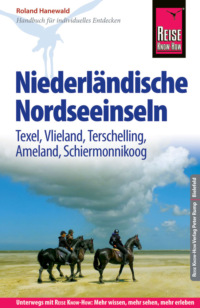
- Reisgids Niederländische Nordseeinseln | Reise Know-How Verlag
- Travel & Languages Travel (special interest) Guides (general) International Books Read more
Netherlands
2016
Netherlands
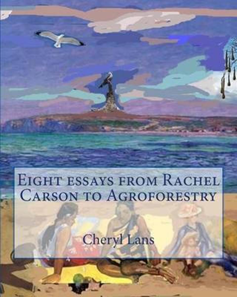
- Eight Essays from Rachel Carson to Agroforestry
- 1. Rachel Carson paved a path of limited advocacy for other scientists 2. Science is politics by other means when it comes to witchcraft 3. Ants, academic politics and integrity 4. Co-operatives as an alternative model of social organization 5. On how the media influence Canadian democracy 6. Methods in EVM - North America and the Netherlands... Read more
- Also available from:
- Bol.com, Belgium
Belgium
- Eight Essays from Rachel Carson to Agroforestry
- 1. Rachel Carson paved a path of limited advocacy for other scientists 2. Science is politics by other means when it comes to witchcraft 3. Ants, academic politics and integrity 4. Co-operatives as an alternative model of social organization 5. On how the media influence Canadian democracy 6. Methods in EVM - North America and the Netherlands... Read more
Netherlands
2016
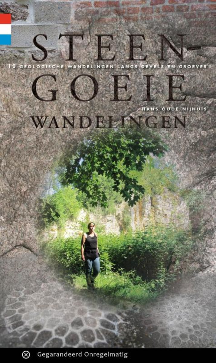
- Steengoeie wandelingen
- Natuursteen in gevels, je loopt er zo aan voorbij. En dat is jammer, want puien en stoepranden zitten vol met verborgen schatten. Deze wandelgids is een hulpmiddel voor veldwerk in de stad. Zoals in Utrecht, Rotterdam, Amersfoort, Maastricht en Velp. Duizenden jaren geleden werden zwerfstenen door gletsjers aangevoerd. De oudste bewoners van... Read more
- Also available from:
- Bol.com, Belgium
Belgium
2016
- Steengoeie wandelingen
- Natuursteen in gevels, je loopt er zo aan voorbij. En dat is jammer, want puien en stoepranden zitten vol met verborgen schatten. Deze wandelgids is een hulpmiddel voor veldwerk in de stad. Zoals in Utrecht, Rotterdam, Amersfoort, Maastricht en Velp. Duizenden jaren geleden werden zwerfstenen door gletsjers aangevoerd. De oudste bewoners van... Read more
Netherlands
2008
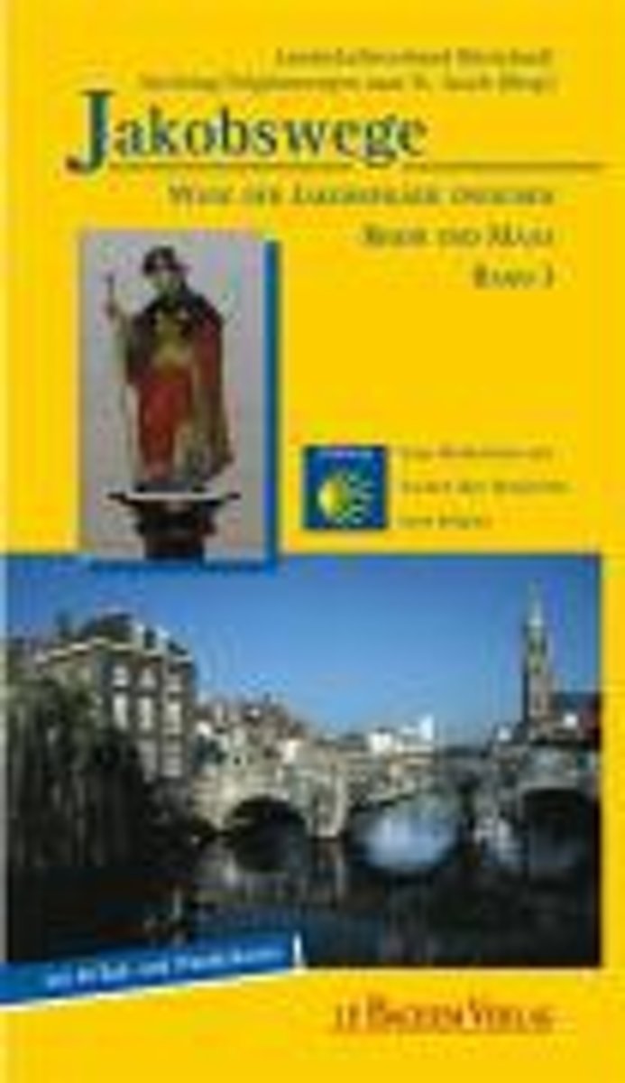
- Jakobswege 03. Wege Der Jakobspilger Zwischen Rhein Und Maas
- Der neue Band 3 der Jakobswege zu Fu und per Rad ist eine deutsch-niederl ndische Produktion. Der "Rhein-Maas-Weg" folgt den Spuren der Jakobspilger vom niederl ndischen Millingen am Rhein n rdlich Kleve quer durch die niederrheinische Landschaft mit Stationen in Kranenburg, Goch, Kevelaer und Straelen und f hrt weiter entlang der Maas ber... Read more
- Also available from:
- Bol.com, Belgium
Belgium
2008
- Jakobswege 03. Wege Der Jakobspilger Zwischen Rhein Und Maas
- Der neue Band 3 der Jakobswege zu Fu und per Rad ist eine deutsch-niederl ndische Produktion. Der "Rhein-Maas-Weg" folgt den Spuren der Jakobspilger vom niederl ndischen Millingen am Rhein n rdlich Kleve quer durch die niederrheinische Landschaft mit Stationen in Kranenburg, Goch, Kevelaer und Straelen und f hrt weiter entlang der Maas ber... Read more
Netherlands
2012
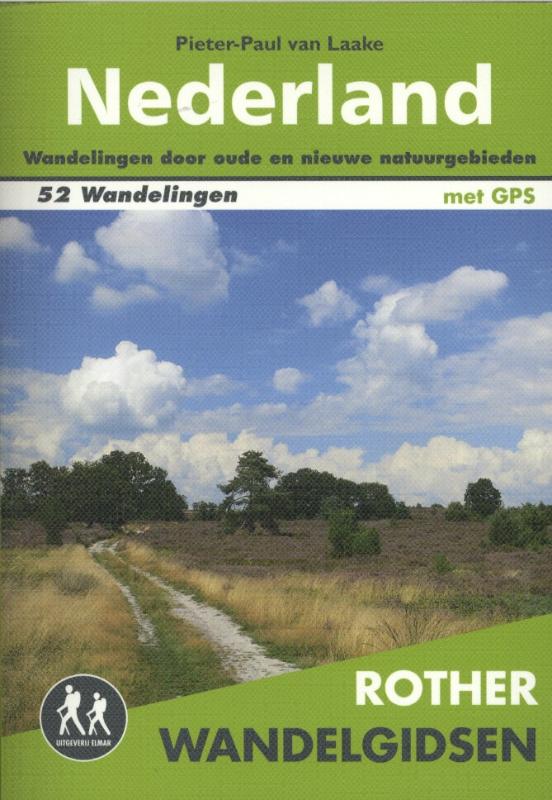
- Wandelgids Nederland | Uitgeverij Elmar
- De wandeltochten in deze Rother wandelgids voor Nederland variëren van twee uur durende wandelingen tot complete dagwandelingen. Elk van de 52 wandelingen is voorzien van een gedetailleerde wandelkaart, een informatief hoogteprofiel en levendige kleurenfoto’s. Voorafgaand aan de gedetailleerde wandeltochtbeschrijving vindt u de belangrijkste... Read more
Netherlands
2010
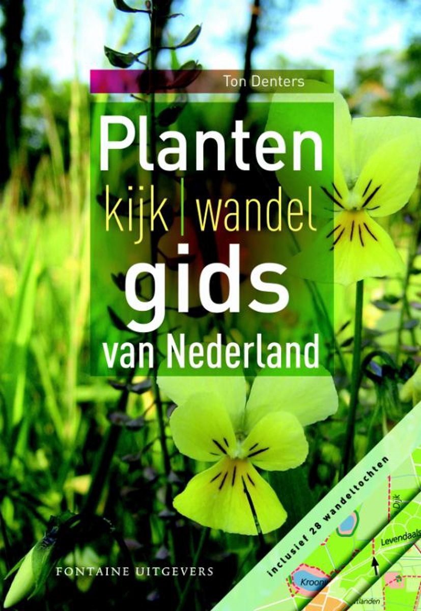
- Plantenkijk-wandelgids van Nederland
- Nederland telt meer dan 1600 wilde plantensoorten. Meestal is daarvan maar een fractie te zien: ze staan op onbereikbare plaatsen of in afgesloten natuurterreinen, of ze bloeien op tijden die je niet verwacht. Juist deze soorten vaak de parels van de Nederlandse flora worden in de Plantenkijk | wandelgids van Nederland beschreven.De beste... Read more
- Also available from:
- Bol.com, Belgium
Belgium
2010
- Plantenkijk-wandelgids van Nederland
- Nederland telt meer dan 1600 wilde plantensoorten. Meestal is daarvan maar een fractie te zien: ze staan op onbereikbare plaatsen of in afgesloten natuurterreinen, of ze bloeien op tijden die je niet verwacht. Juist deze soorten vaak de parels van de Nederlandse flora worden in de Plantenkijk | wandelgids van Nederland beschreven.De beste... Read more
Netherlands
2009
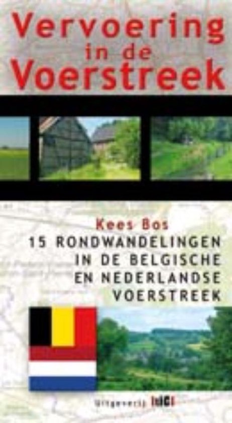
- Wandelgids Vervoering in de Voerstreek | Uitgeverij Tic
- De Voer is een kleine rivier die in Voeren (B) ontspringt en bij Eijsden (Nl) in de Maas stroomt. De Voerstreek is de enige Nederlandstalige gemeente geheel omsloten door de provincie Luik in België. Het gebied dat onmiddellijk grenst aan Zuid-Limburg is heel lang onontgonnen gebleven en is tot op heden gespaard van grootschalige... Read more
Netherlands
2010
- Op stap in herfst en winter
- Er is niks lekkerder dan een herfst-of winterwandeling maken in de bossen. De prachtige kleuren, de drukke diertjes die als een gek wintervoorraden aan het aanleggen zijn, of juist de verstilde sneeuw en rijp op de bomen. Wandelen dus! M t het hele gezin. Want ook de grootste milieuvervuilertjes, Nintendo en Wii-verslaafden knappen op van... Read more
- Also available from:
- Bol.com, Belgium
Belgium
2010
- Op stap in herfst en winter
- Er is niks lekkerder dan een herfst-of winterwandeling maken in de bossen. De prachtige kleuren, de drukke diertjes die als een gek wintervoorraden aan het aanleggen zijn, of juist de verstilde sneeuw en rijp op de bomen. Wandelen dus! M t het hele gezin. Want ook de grootste milieuvervuilertjes, Nintendo en Wii-verslaafden knappen op van... Read more

Netherlands
2014
- Wandelgids Maaspad | Buijten & Schipperheijn
- 'Het uur van de Maas', zo noemt auteur Nico Gerrits het Maaspad. Vanwege de elementen natuur, cultuur en avontuur. De maas biedt een gevarieerd landschap, decor van een boeiende geschiedenis, van culturele monumenten en een steeds veranderende natuur. Het Maaspad is een lange-afstands-wandelroute van 415 km en loopt van het Limburgse... Read more
Netherlands
2020
Netherlands
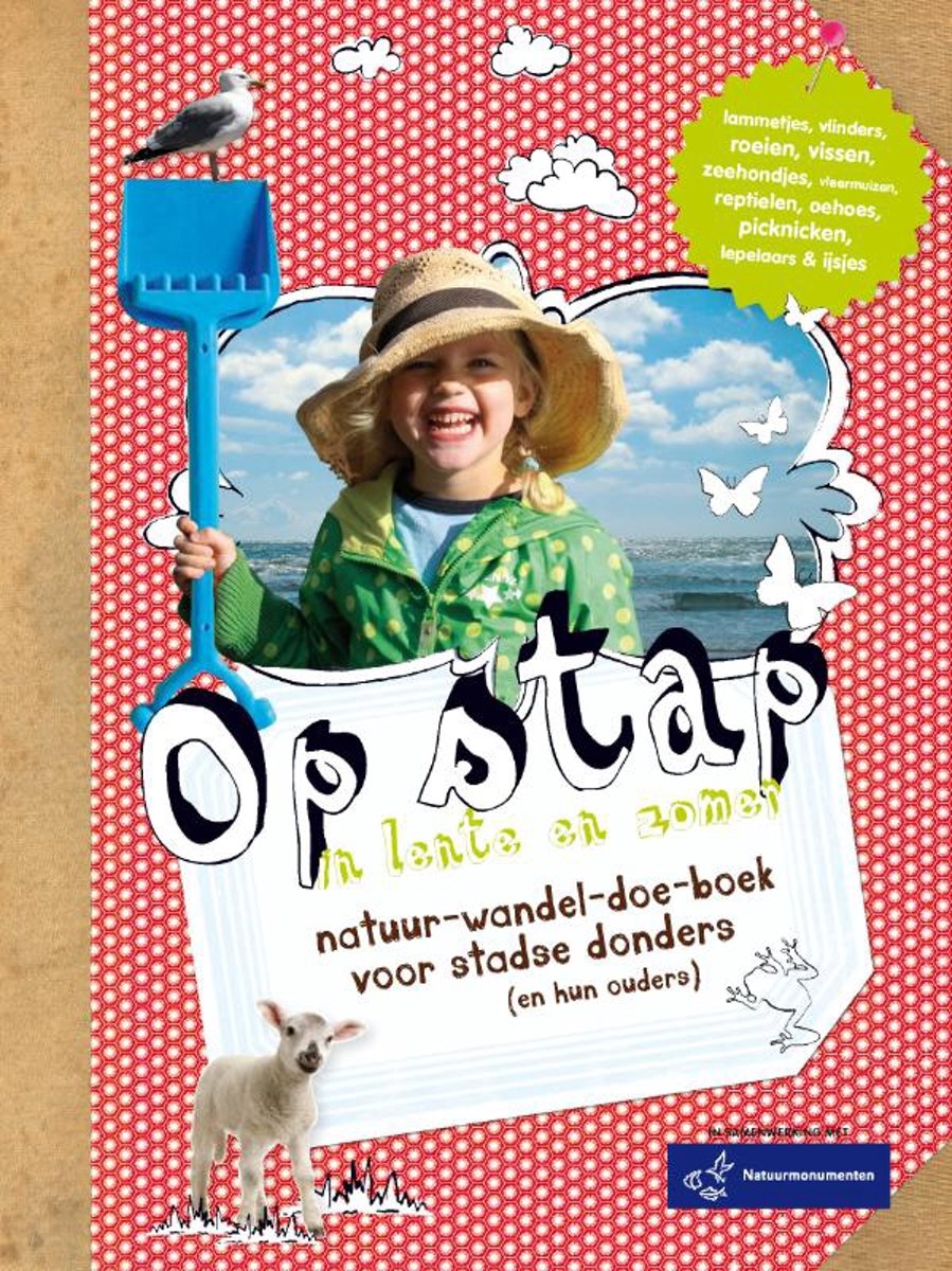
- Op stap in lente en zomer
- In de lente en zomer moet je zo veel mogelijk naar buiten. Krokusjes schieten uit de grond, vogels vliegen af en aan met takjes voor hun nesten, je kunt kikkerdril zien drijven en dan die schattige lammetjes! En oh ja, uit onderzoek blijkt dat al dat groen goed is voor jou en vooral voor je kinderen. Nu alleen jezelf en die kinderen nog van de... Read more
- Also available from:
- Bol.com, Belgium
Belgium
- Op stap in lente en zomer
- In de lente en zomer moet je zo veel mogelijk naar buiten. Krokusjes schieten uit de grond, vogels vliegen af en aan met takjes voor hun nesten, je kunt kikkerdril zien drijven en dan die schattige lammetjes! En oh ja, uit onderzoek blijkt dat al dat groen goed is voor jou en vooral voor je kinderen. Nu alleen jezelf en die kinderen nog van de... Read more
Netherlands
- The Broken Road
- The long-awaited final volume of the trilogy by Patrick Leigh Fermor. A Time of Gifts and Between the Woods and the Water were the first two volumes in a projected trilogy that would describe the walk that Patrick Leigh Fermor undertook at the age of eighteen from the Hook of Holland to Constantinople. 'When are you going to finish Vol. III?'... Read more
- Also available from:
- Bol.com, Belgium
Belgium
- The Broken Road
- The long-awaited final volume of the trilogy by Patrick Leigh Fermor. A Time of Gifts and Between the Woods and the Water were the first two volumes in a projected trilogy that would describe the walk that Patrick Leigh Fermor undertook at the age of eighteen from the Hook of Holland to Constantinople. 'When are you going to finish Vol. III?'... Read more
Maps

United Kingdom
2010
- Gelderse Valley
- Gelderse Valley on a waterproof, tear-resistant, GPS compatible walking map at 1:25,000 from Trage Paden, in a series of maps with extensive overprint for long-distance and local walking routes. GPS waypoints and route profiles are available for download from the publisher’s website.Contours used in this map series vary between 2,5 to 5m... Read more

United Kingdom
- Lauwersmeer
- Lauwersmeer area Friesland in the Netherlands in a series of walking and cycling maps at 1:25,000 – 1:35,000, published by Falk BV in cooperation with Staatsbosbeheer – Dutch government’s organization for forestry and the management of nature reserves.Colouring indicates different types of vegetation or terrain: woodland, pastures, heath or... Read more
United Kingdom
- Dunes of the Central Holland 22
- The Dunes of the Central Holland Province of the Netherlands in a series of walking and cycling maps at 1:25,000 – 1:35,000, published by Falk BV in cooperation with Staatsbosbeheer – Dutch government’s organization for forestry and the management of nature reserves.Colouring indicates different types of vegetation or terrain: woodland,... Read more
United Kingdom
- De Peel
- De Peel area of the Netherlands in a series of walking and cycling maps at 1:25,000 – 1:35,000, published by Falk BV in cooperation with Staatsbosbeheer – Dutch government’s organization for forestry and the management of nature reserves.Colouring indicates different types of vegetation or terrain: woodland, pastures, heath or sand dunes. Given... Read more

United Kingdom
- Belgian Coast - Bruges Cycling Map 30
- The coast of Belgium at 1:50,000 in a series from Falk B.V. showing the network of signposted cycling routes on large, double-sided indexed maps with prominent highlighting of long-distance LF routes, symbols indicating accommodation and other tourist services, plus in each title two or more panels with recommended local circuits and additional... Read more

United Kingdom
- South-Holland North - Green Heart West and Bollenstreek Falkplan Cycling Map 14
- The northern part of the South Holland Province of the Netherlands at 1:50,000 in a series from Falk B.V. showing the network of signposted cycling routes on large, double-sided indexed maps with prominent highlighting of long-distance LF routes, symbols indicating accommodation and other tourist services, plus in each title two or more panels... Read more
United Kingdom
- De Biesbosch
- De Biesbosch area of the Netherlands in a series of walking and cycling maps at 1:25,000 – 1:35,000, published by Falk BV in cooperation with Staatsbosbeheer – Dutch government’s organization for forestry and the management of nature reserves.Colouring indicates different types of vegetation or terrain: woodland, pastures, heath or sand dunes.... Read more
United Kingdom
- Dwingelderveld - Ruinen
- Dwingelderveld - Ruinen area of the Netherlands in a series of walking and cycling maps at 1:25,000 – 1:35,000, published by Falk BV in cooperation with Staatsbosbeheer – Dutch government’s organization for forestry and the management of nature reserves.Colouring indicates different types of vegetation or terrain: woodland, pastures, heath or... Read more
United Kingdom
- Meinweg - Leudal
- Meinweg - Leudal area of the Netherlands in a series of walking and cycling maps at 1:25,000 – 1:35,000, published by Falk BV in cooperation with Staatsbosbeheer – Dutch government’s organization for forestry and the management of nature reserves.Colouring indicates different types of vegetation or terrain: woodland, pastures, heath or sand... Read more

United Kingdom
- Het Groene Woud
- “Het Groene Woud” map in 1:25,000 belong to a series of eleven walking from Falk, which cover the most beautiful hiking areas in four regions: North Brabant in the south, the tip of North Holland, Friesland and Groningen in the north of the country.“Het Groene Woud” (the green forest) map covers an area of approximately 26 x 16 km in North... Read more
United Kingdom
- Netherlands Falkplan Cycling Atlas
- Cycling atlas of the Netherlands at 1:75,000 from Falk BV, presenting in one A5 spiral-bound volume the country’s extensive network of signposted cycling routes and junctions, including the long-distance LF trails and smaller local cycle paths. The network consists of numbered junctions joined by sign-posted connecting routes in either... Read more
United Kingdom
- Drentsche A
- Drentsche A area of the Netherlands in a series of walking and cycling maps at 1:25,000 – 1:35,000, published by Falk BV in cooperation with Staatsbosbeheer – Dutch government’s organization for forestry and the management of nature reserves.Colouring indicates different types of vegetation or terrain: woodland, pastures, heath or sand dunes.... Read more
United Kingdom
- Oostvaardersplassen
- Oostvaardersplassen area of the Netherlands in a series of walking and cycling maps at 1:25,000 – 1:35,000, published by Falk BV in cooperation with Staatsbosbeheer – Dutch government’s organization for forestry and the management of nature reserves.Colouring indicates different types of vegetation or terrain: woodland, pastures, heath or sand... Read more

United Kingdom
- Gooi & Vechtstreek: Hilversum - Amersfoort - Utrecht
- Gooi and Vechtstreek - a popular hiking area south-east of Amsterdam - on a light, double-sided, waterproof and tear-resistant, GPS-compatible maps at 1:25,000 from ANWB, the country’s main motoring and touring organization. Coverage on the northern side extends southwards from the historic town of Naarden, and west/east between the... Read more

United Kingdom
- Rhine Cycle Route 4 - Cologne to Hoek van Holland Bikeline Map-Guide
- The Rhine Cycle Route Part 4 – a 442-km long section from Cologne to the North Sea presented by Verlag Esterbauer in a guide with maps at 1:75,000 showing the route and its variants. Extensive information is conveyed by symbols, indicating road surface, campsites and other accommodation, repair workshops, recreational facilities, places of... Read more