Utrecht
Description
Map

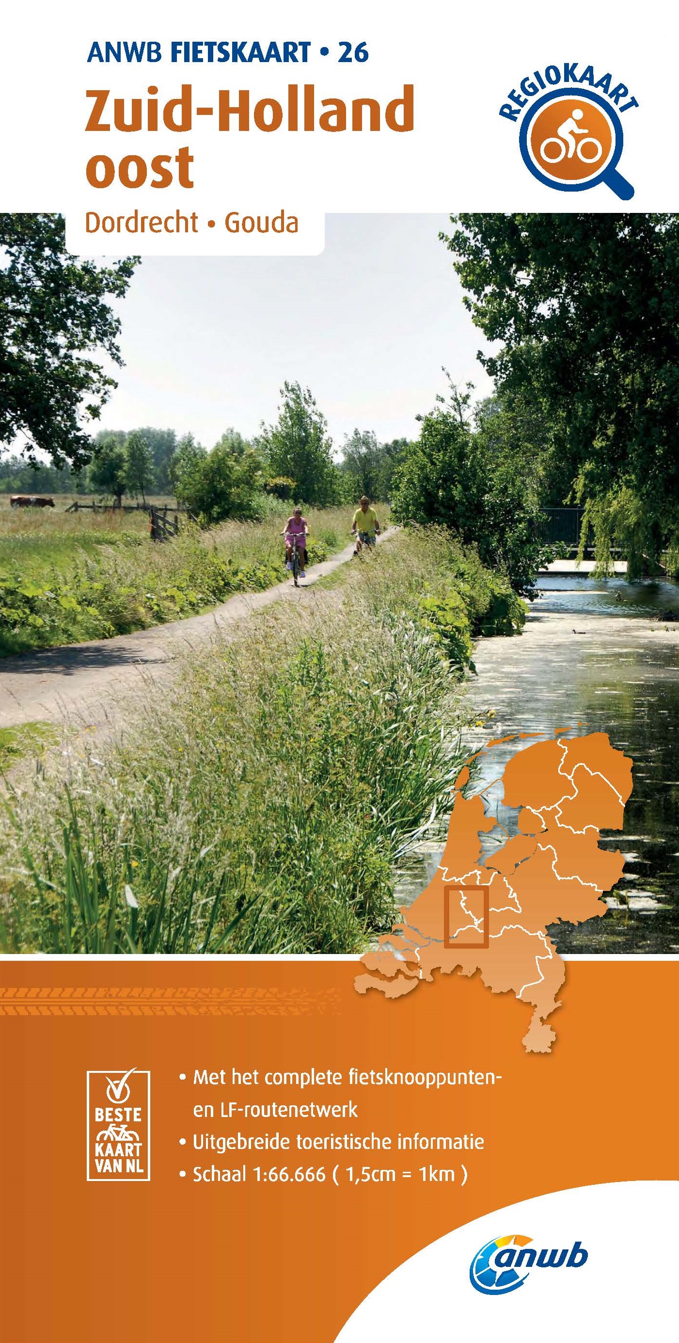
Trails in this state
- E11GPX
- E8GPX
- Floris V-padGPX
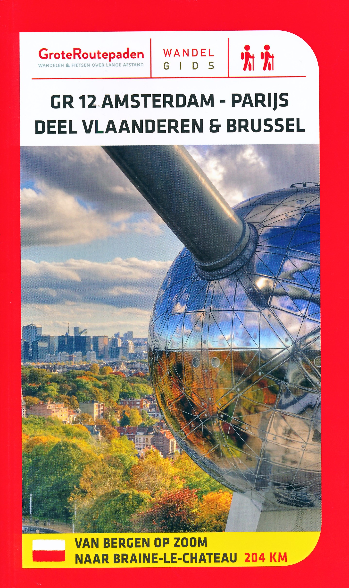
- GR12 - Amsterdam - ParisGPX
- GrebbeliniepadGPX
- Groene HartpadGPX
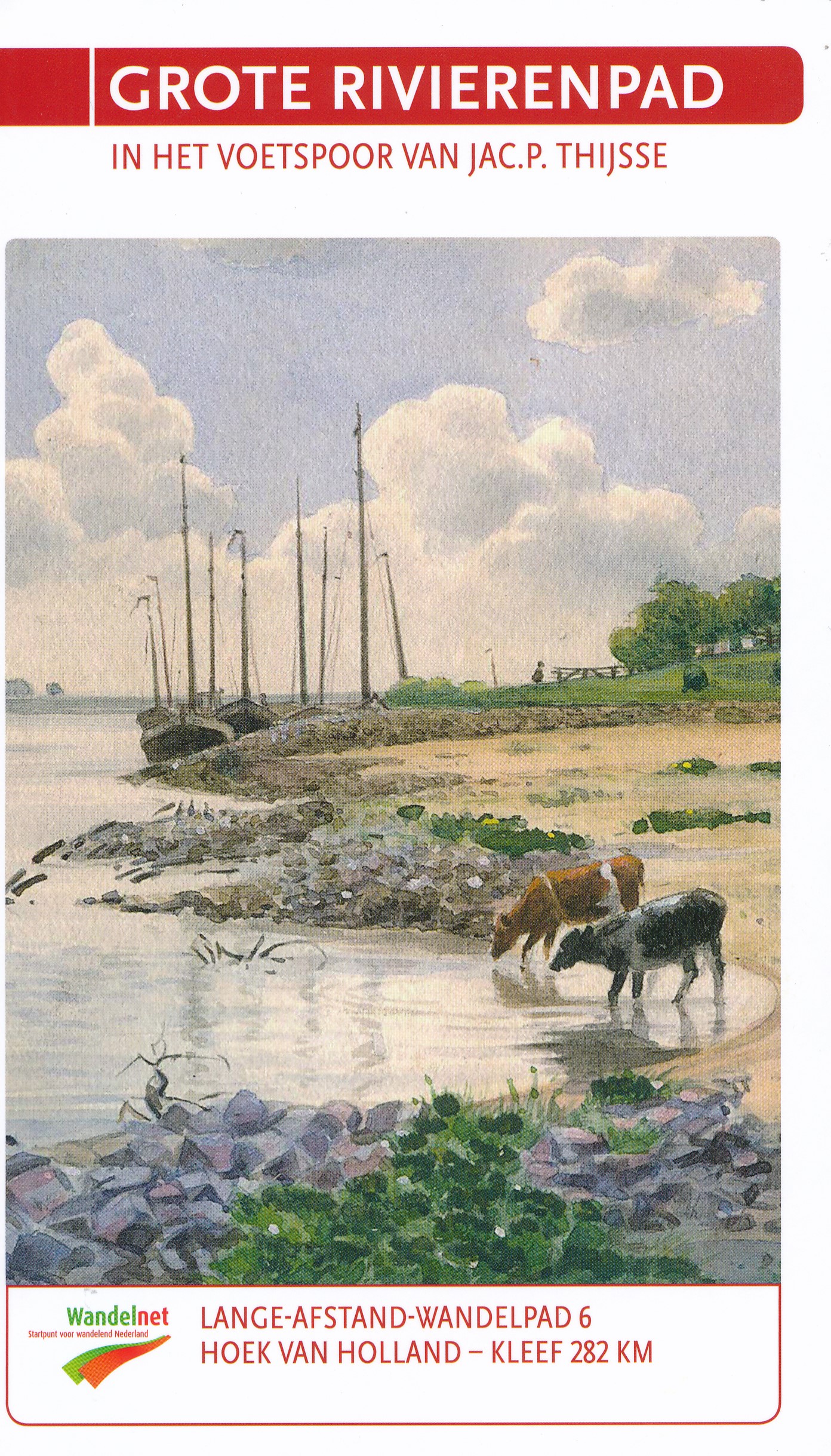
- Grote RivierenpadGPX
- Jacobsweg Amstelredam
- Jacobsweg Amsvorde
- Koninklijke WegGPX
- Maarten van RossumpadGPX
- MarskramerpadGPX
- Rijndeltapad
- Romeinse LimespadGPX
- Rondom Berg en Bosch
- Rondom de DomGPX
- Stichtse Dorpenpad
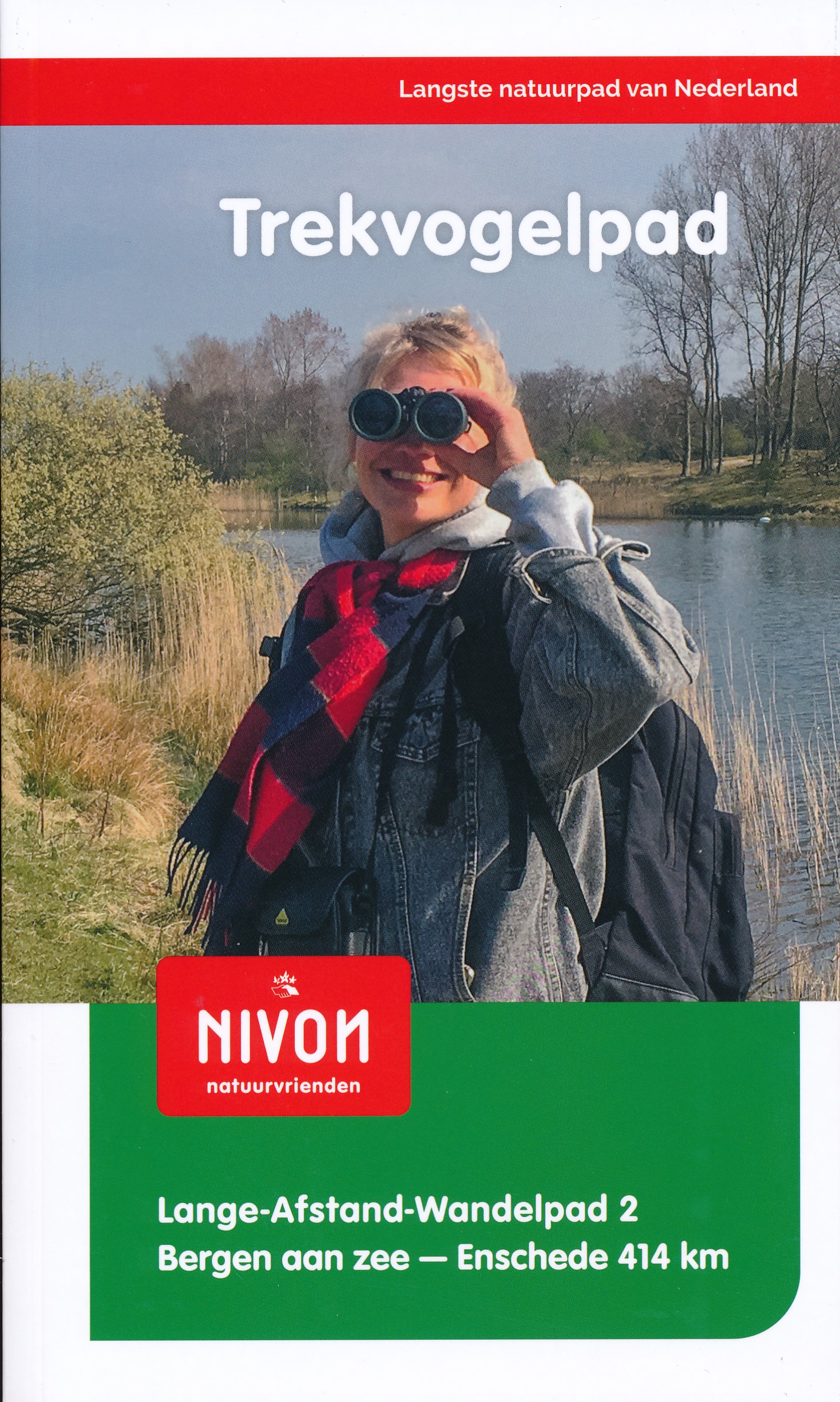
- TrekvogelpadGPX
- UtrechtpadGPX
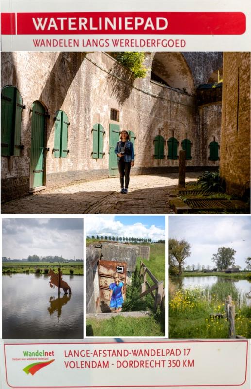
- WaterliniepadGPX
- WesterborkpadGPX
- Willebrordus Wandelpad
- WillibrorduswandelpadGPX
- ZuiderzeepadGPX
Links
Facts
Reports
Guides and maps
Lodging
Organisations
Tour operators
GPS
Other
Books
De Zwerver
Netherlands
2018
Netherlands
2018
- Wandelgids 6 LAW Grote Rivierenpad - In het Voetspoor van Jac. P. Thijse | Wandelnet
- Het Grote Rivierenpad is een samenvoeging van twee toppers: het Oeverloperpad en het Lingepad. Het pad volgt de oer-Hollandse rivieren Nieuwe Waterweg, Oude Maas, Lek, Linge en Waal. Grote inspiratiebron voor de gids van dit nieuwe pad is het in 1938 verschenen Verkade-album ‘Onze Groote Rivieren’ van Jac. P. Thijsse (1865-1945). Het Grote... Read more
De Zwerver
Netherlands
2011
Netherlands
2011
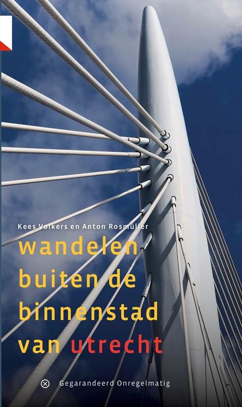
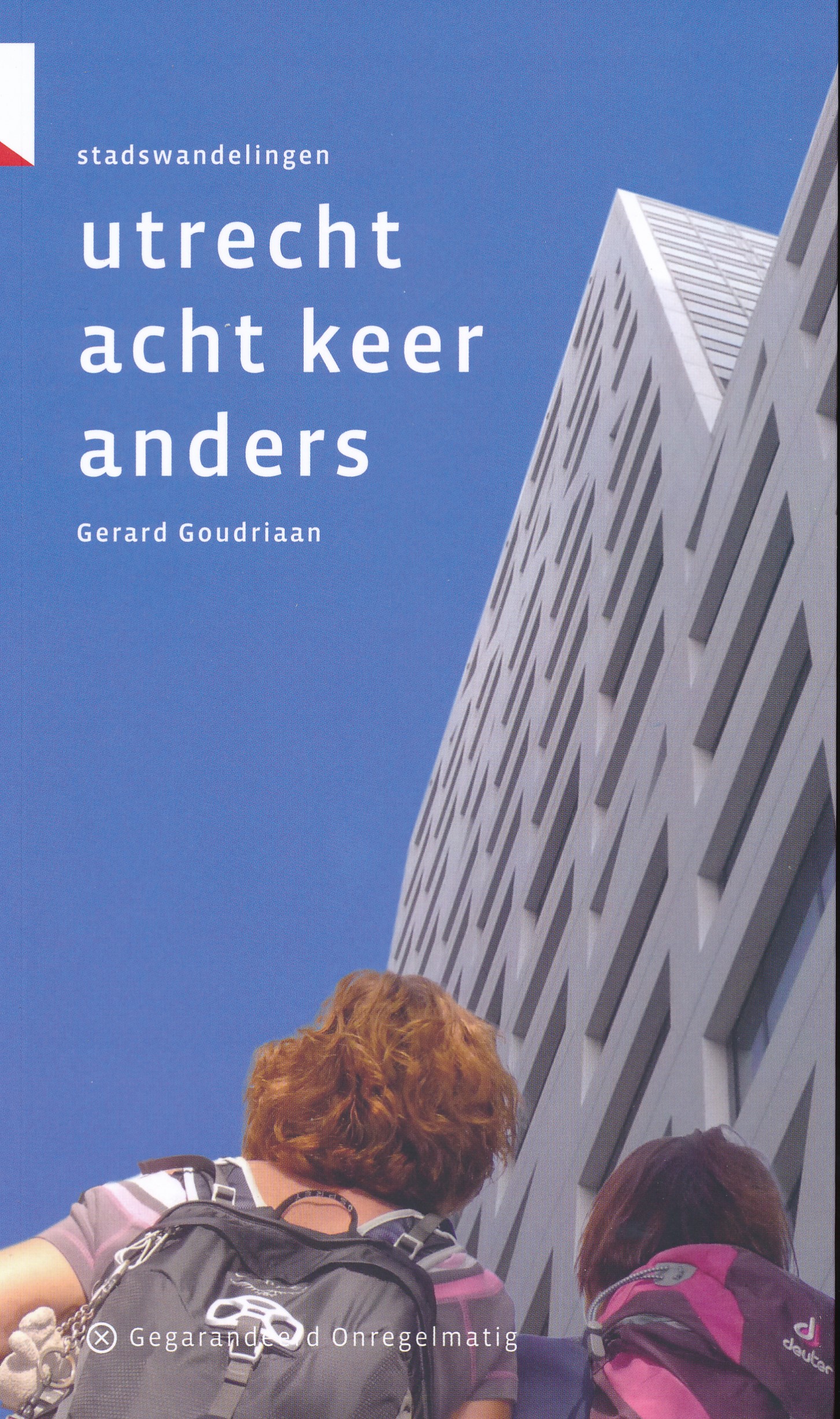
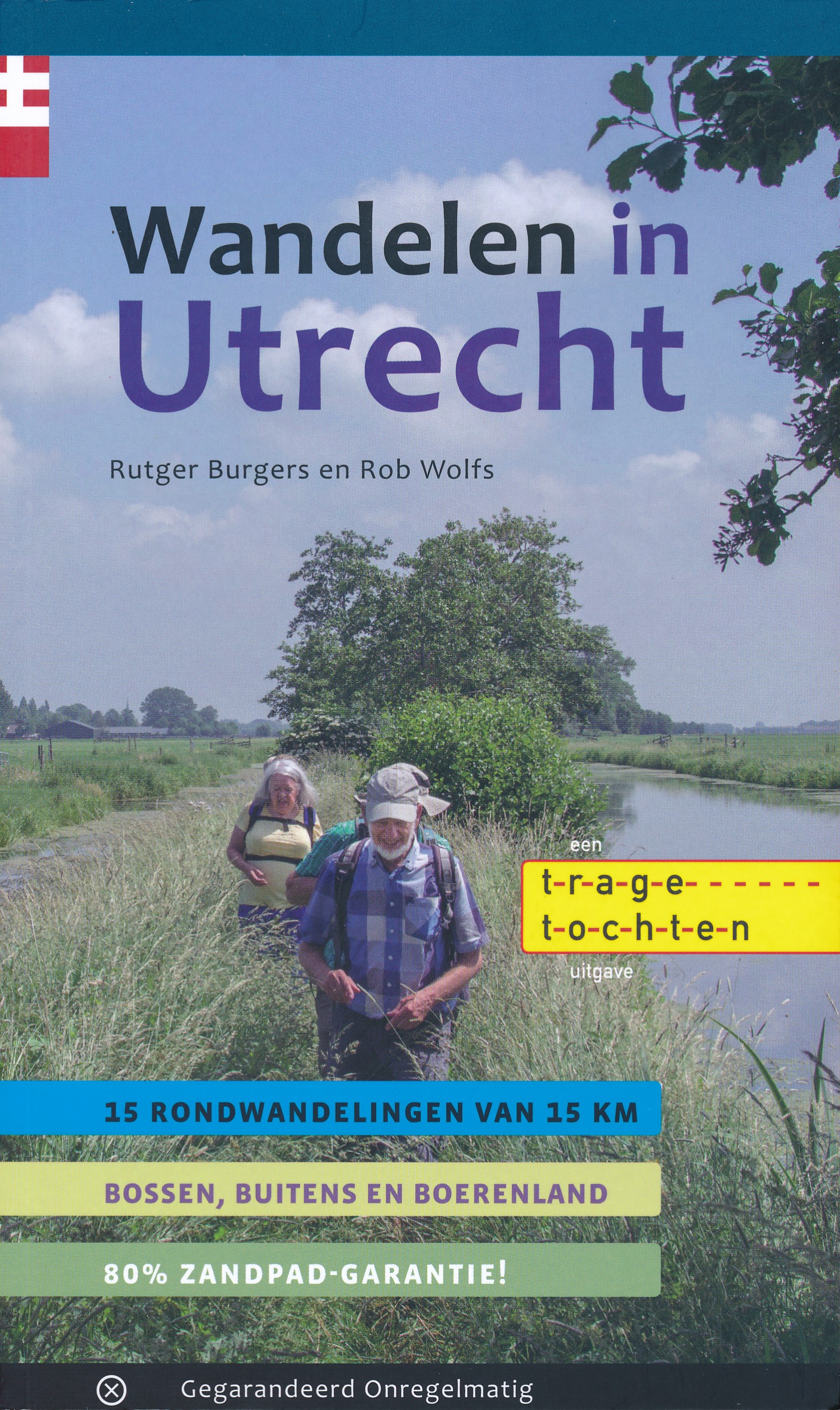
- Wandelgids Wandelen buiten de binnenstad van Utrecht | Gegarandeerd Onregelmatig
- In deze fraaie gids nemen wandelaar/dichter Anton Rosmüller en Utrecht-historicus Kees Volkers u mee op hun wandeltochten door de Utrechtse 'buitenstad'. Geen boslanen of akkerwegen, maar 'urban walking': ontspannen lopen over rustige paden, door stedelijk groen, langs rivieren en kanalen, en onverwachte historie. En altijd wel... Read more
- Also available from:
- Bol.com, Belgium
De Zwerver
Netherlands
2018
Netherlands
2018
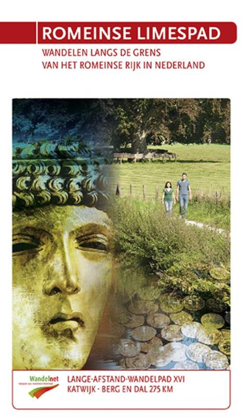
- Wandelgids 16-XVI LAW Romeinse Limespad | Wandelnet
- Katwijk aan Zee- Berg en Dal(Duivelsberg) 275 km 'Sin; sin, sin…dex; sin' 'Links; links, links…rechts; links' Een Romeinse centurio roept commando's naar zijn soldaten die op hun sandalen keurig in gelid marcheren. Ze zijn op weg naar hun castellum… Waarom kwamen de Romeinen zo'n 2000 jaar geleden naar ons koude, natte land? Stap in de... Read more
De Zwerver
Netherlands
2009
Netherlands
2009
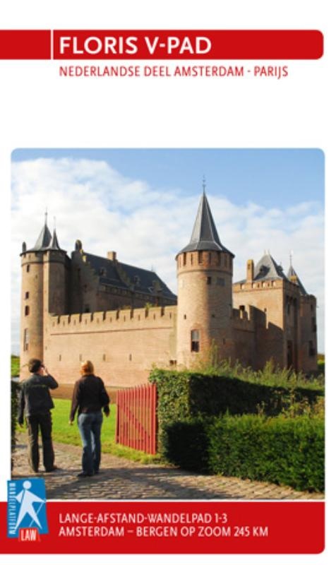
- Wandelgids 1-3 LAW Floris V-pad | Wandelnet
- Routegids met gedetailleerde topografische kaarten waar de route duidelijk op ingetekend is. Daarnaast alle noodzakelijke informatie als openbaar vervoer en overnachtingsadressen. Amsterdam -Bergen op Zoom. Het Floris V-pad leidt dwars door een oer-Hollands landschap over onverharde dijken en paden, die vaak speciaal voor wandelaars zijn... Read more
Bol.com
Netherlands
2016
Netherlands
2016
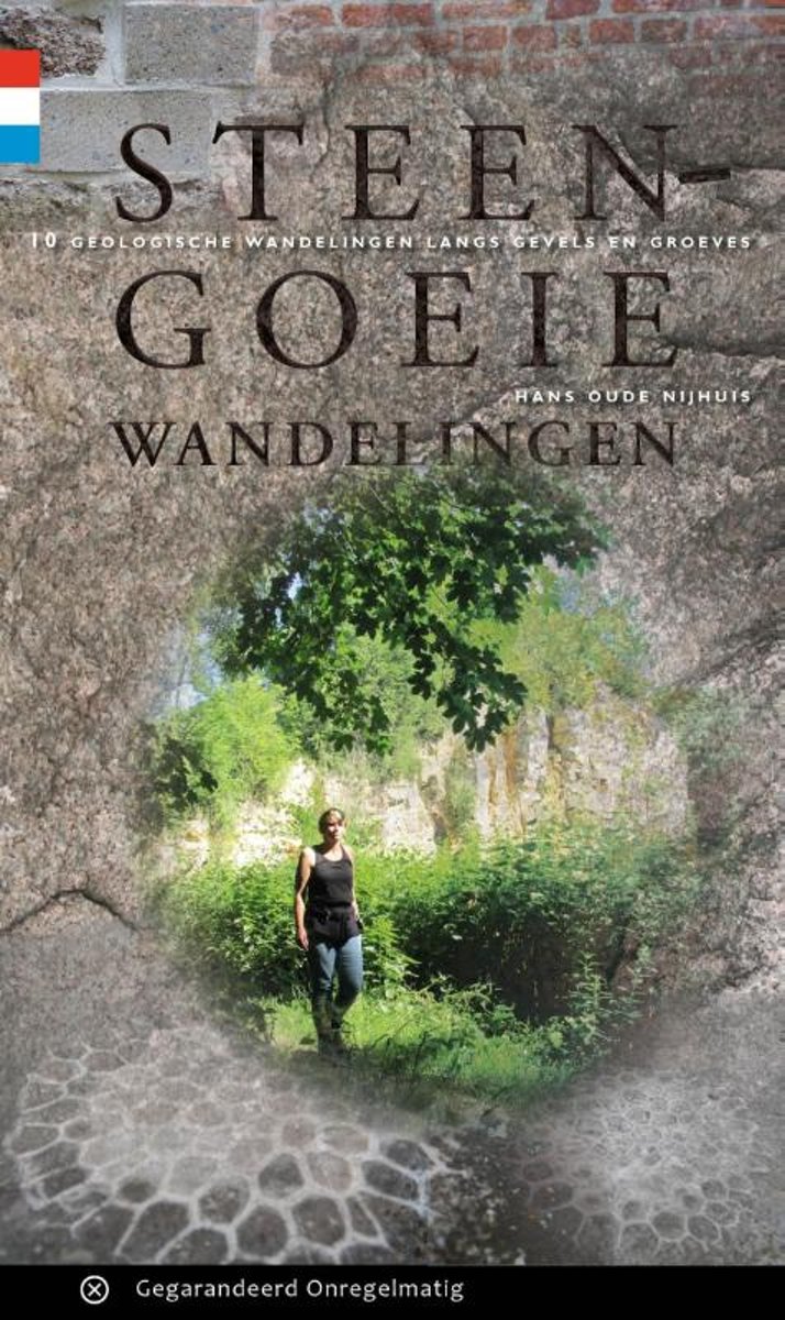
- Steengoeie wandelingen
- Natuursteen in gevels, je loopt er zo aan voorbij. En dat is jammer, want puien en stoepranden zitten vol met verborgen schatten. Deze wandelgids is een hulpmiddel voor veldwerk in de stad. Zoals in Utrecht, Rotterdam, Amersfoort, Maastricht en Velp. Duizenden jaren geleden werden zwerfstenen door gletsjers aangevoerd. De oudste bewoners van... Read more
- Also available from:
- Bol.com, Belgium
Bol.com
Belgium
2016
Belgium
2016
- Steengoeie wandelingen
- Natuursteen in gevels, je loopt er zo aan voorbij. En dat is jammer, want puien en stoepranden zitten vol met verborgen schatten. Deze wandelgids is een hulpmiddel voor veldwerk in de stad. Zoals in Utrecht, Rotterdam, Amersfoort, Maastricht en Velp. Duizenden jaren geleden werden zwerfstenen door gletsjers aangevoerd. De oudste bewoners van... Read more
De Zwerver
Netherlands
2023
Netherlands
2023
De Zwerver
Netherlands
2014
Netherlands
2014
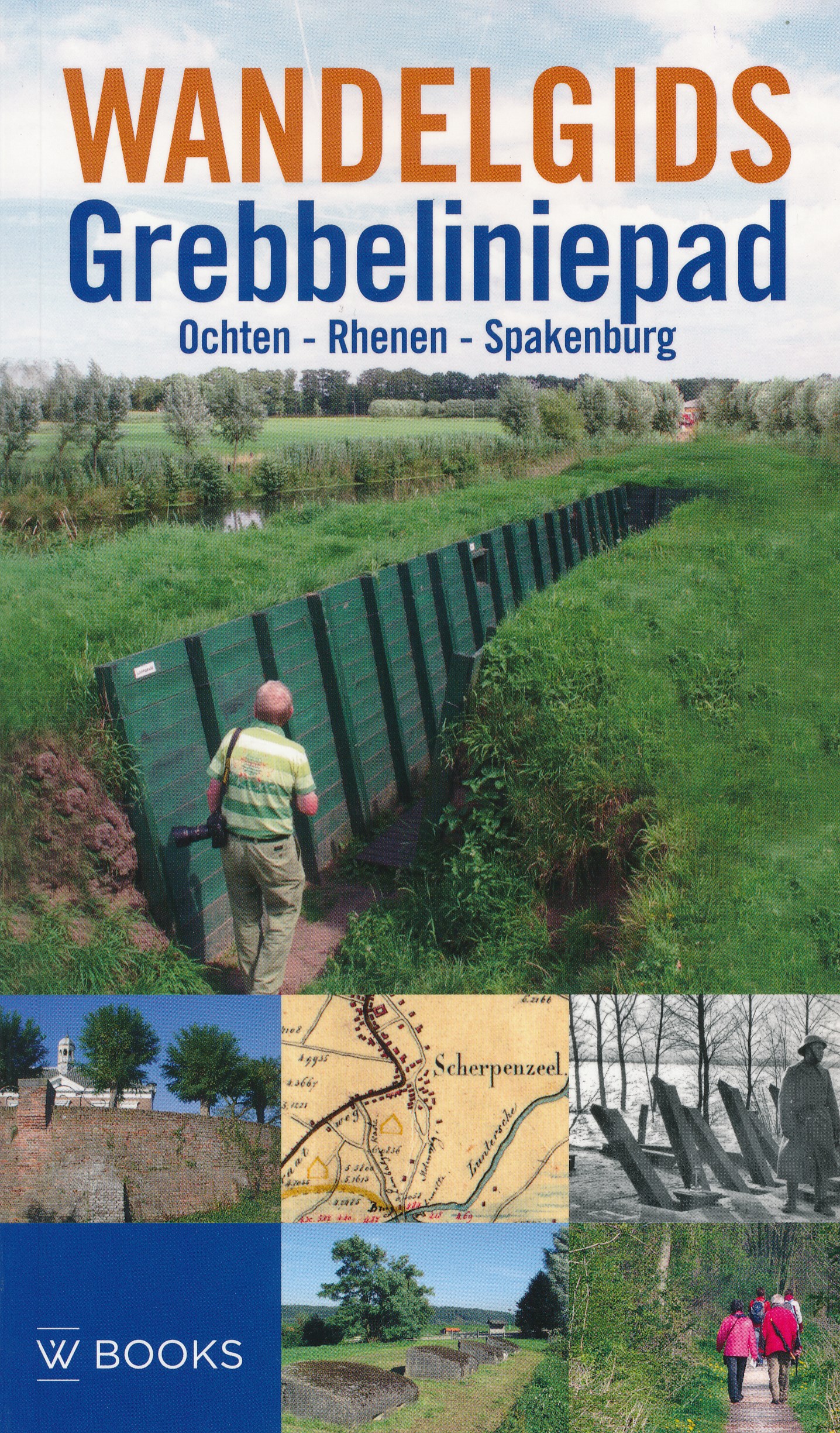
- Wandelgids Grebbeliniepad Ochten - Rhenen - Spakenburg | Uitgeverij Wbooks
- Wandelen in Grebbelinie heeft iets geheimzinnigs; de sporen van 200 jaar vestinggeschiedenis liggen overal verborgen in het groen. In deze vernieuwde uitgave van de Wandelgids Grebbeliniepad is de linie voor het eerst over de gehele lengte te bewandelen. Met de toevoeging van het ontbrekende deel door de Neder-Betuwe langs o.a. het Hoornwerk... Read more
Bol.com
Netherlands
Netherlands
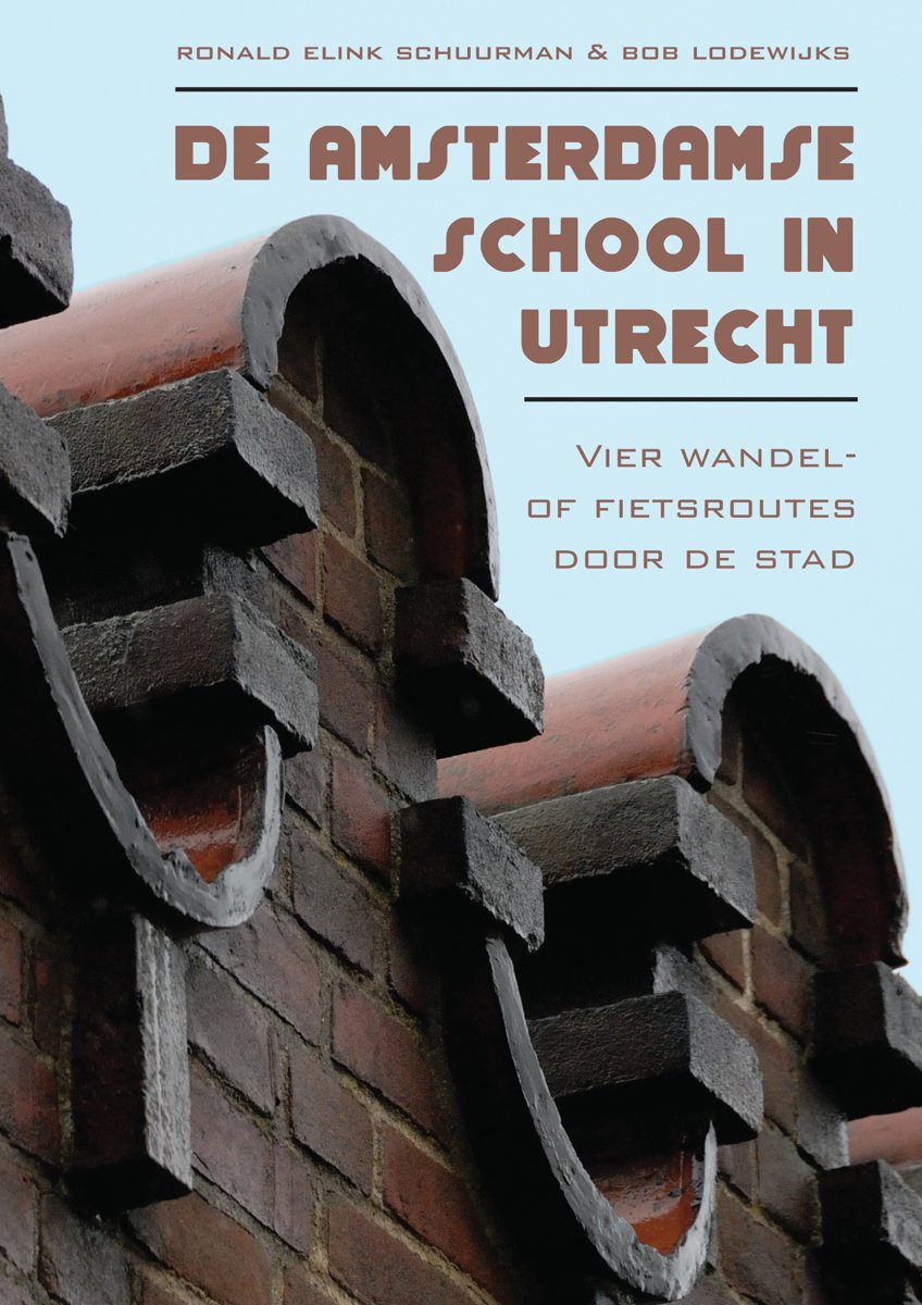
- De Amsterdamse school in Utrecht
- In het boekje De Amsterdamse School in Utrecht vindt u vier wandel- of fietsroutes door de stad Utrecht. Op iedere route maakt u kennis met zo n 25 panden die gebouwd zijn in de nog altijd gewaardeerde Amsterdams Schoolstijl. U kunt gaan ontdekken dat er in Utrecht veel meer gebouwen in Amsterdamse Schoolstijl zijn gebouwd, dan men algemeen... Read more
- Also available from:
- Bol.com, Belgium
Bol.com
Belgium
Belgium
- De Amsterdamse school in Utrecht
- In het boekje De Amsterdamse School in Utrecht vindt u vier wandel- of fietsroutes door de stad Utrecht. Op iedere route maakt u kennis met zo n 25 panden die gebouwd zijn in de nog altijd gewaardeerde Amsterdams Schoolstijl. U kunt gaan ontdekken dat er in Utrecht veel meer gebouwen in Amsterdamse Schoolstijl zijn gebouwd, dan men algemeen... Read more
De Zwerver
Netherlands
2017
Netherlands
2017
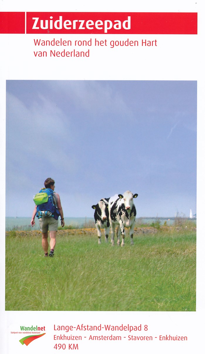
- Wandelgids 8 LAW Zuiderzeepad | Wandelnet
- wandelen rondom de Zuiderzee Read more
Maps

Stanfords
United Kingdom
United Kingdom
- Gooi & Vechtstreek: Hilversum - Amersfoort - Utrecht
- Gooi and Vechtstreek - a popular hiking area south-east of Amsterdam - on a light, double-sided, waterproof and tear-resistant, GPS-compatible maps at 1:25,000 from ANWB, the country’s main motoring and touring organization. Coverage on the northern side extends southwards from the historic town of Naarden, and west/east between the... Read more

Stanfords
United Kingdom
United Kingdom
- Pegnitz E11
- Pegnitz in a series of GPS compatible recreational editions of the Bavarian topographic survey at 1:25,000, with waymarked hiking trails and cycling routes, campsites and youth hostels, etc. Coverage includes Creußen, Ahorntal, Pottenstein, Glashütten, Hummeltal, Schnabelwaid.Contours used in this map vary between 5 to 20m according to the... Read more

Stanfords
United Kingdom
United Kingdom
- Utrecht Hills - `t Gooi - Vecht area Falkplan Cycling Map 12
- Utrecht Hill Ridge region of the Netherlands at 1:50,000 in a series from Falk B.V. showing the network of signposted cycling routes on large, double-sided indexed maps with prominent highlighting of long-distance LF routes, symbols indicating accommodation and other tourist services, plus in each title two or more panels with recommended local... Read more

Stanfords
United Kingdom
United Kingdom
- Transrhodopi - Long distance hiking and biking trail From Trigrad to Ivaylovgrad
- Western Rhodope Mountains at 1:100,000 on a contoured GPS compatible map from Domino extending from just west of the Pirin National Park to Asenovgrad in the north-east. The map is double-sided with a good overlap between the sides. Topography is shown by contours at 50m intervals with relief shading and spot heights, plus colouring for... Read more

De Zwerver
Netherlands
Netherlands
- Topografische kaart - Wandelkaart 31G Woerden | Kadaster
- De meest gedetailleerde kaart die via de verkoopkanalen verkrijgbaar is. Gemaakt door de Nederlandse Topografische dienst bevat deze kaart alle topografische elementen van het landschap en geeft daarmee een nauwkeurig beeld van het terrein. De meeste kaarten hebben een kaartbeeld dat overeenkomt met 12,5 x 10 kilometer in werkelijkheid. Naast... Read more

Stanfords
United Kingdom
2020
United Kingdom
2020
- Utrechtse Heuvelrug
- Utrechtse Heuvelrug area of the Netherlands in a series of walking and cycling maps at 1:25,000 – 1:35,000, published by Falk BV in cooperation with Staatsbosbeheer – Dutch government’s organization for forestry and the management of nature reserves.Colouring indicates different types of vegetation or terrain: woodland, pastures, heath or sand... Read more
- Also available from:
- De Zwerver, Netherlands

De Zwerver
Netherlands
2020
Netherlands
2020
- Wandelkaart 25 Staatsbosbeheer Utrechtse Heuvelrug | Falk
- Utrechtse Heuvelrug area of the Netherlands in a series of walking and cycling maps at 1:25,000 Read more

Stanfords
United Kingdom
United Kingdom
- Strandzha Mountains: Burgas to the Turkish Border Domino Map
- Strandzha Mountains in the south-eastern corner of Bulgaria between Burgas to the Turkish border on a contoured and GPS compatible map from Domino showing local hiking trails and highlighting various interesting sites, with three more detailed enlargements at 1:25,000. Most place names are in both Latin and Cyrillic alphabet; map legend... Read more
- Also available from:
- De Zwerver, Netherlands

De Zwerver
Netherlands
Netherlands
- Wandelkaart Strandzha - Bulgarije | Domino
- Strandzha Mountains in the south-eastern corner of Bulgaria between Burgas to the Turkish border on a contoured and GPS compatible map from Domino showing local hiking trails and highlighting various interesting sites, with three more detailed enlargements at 1:25,000. Most place names are in both Latin and Cyrillic alphabet; map legend... Read more

De Zwerver
Netherlands
Netherlands
- Topografische kaart - Wandelkaart 32A Soestdijk | Kadaster
- De meest gedetailleerde kaart die via de verkoopkanalen verkrijgbaar is. Gemaakt door de Nederlandse Topografische dienst bevat deze kaart alle topografische elementen van het landschap en geeft daarmee een nauwkeurig beeld van het terrein. De meeste kaarten hebben een kaartbeeld dat overeenkomt met 12,5 x 10 kilometer in werkelijkheid. Naast... Read more

Stanfords
United Kingdom
United Kingdom
- Rila Mountains Domino
- Rila Mountains at 1:50,000 on a large, double-sided, contoured map with GPS waypoints for shelters and chalets, peaks, etc. and highlighting hiking routes. Topography is shown by contours at 50m intervals with additional relief shading and graphics and colouring for scree, single rocks over 5m high, marshlands and pine scrub and forests. An... Read more
- Also available from:
- De Zwerver, Netherlands

De Zwerver
Netherlands
Netherlands
- Wandelkaart 5 Rila gebergte | Domino
- Rila Mountains at 1:50,000 on a large, double-sided, contoured map with GPS waypoints for shelters and chalets, peaks, etc. and highlighting hiking routes. Topography is shown by contours at 50m intervals with additional relief shading and graphics and colouring for scree, single rocks over 5m high, marshlands and pine scrub and forests. An... Read more

De Zwerver
Netherlands
Netherlands
- Wandelkaart Sredna Gora - Bulgarije | Domino
- Pirin Mountains at 1:50,000 on a large, double-sided, contoured map with GPS waypoints for shelters and chalets, peaks, etc. and highlighting hiking routes. Topography is shown by contours at 40m intervals with additional relief shading and graphics and colouring for sandstone stacks, single rocks over 5m high, marshlands and different types of... Read more
De Zwerver
Netherlands
Netherlands
- Topografische kaart - Wandelkaart 32C Zeist | Kadaster
- De meest gedetailleerde kaart die via de verkoopkanalen verkrijgbaar is. Gemaakt door de Nederlandse Topografische dienst bevat deze kaart alle topografische elementen van het landschap en geeft daarmee een nauwkeurig beeld van het terrein. De meeste kaarten hebben een kaartbeeld dat overeenkomt met 12,5 x 10 kilometer in werkelijkheid. Naast... Read more
De Zwerver
Netherlands
Netherlands
More maps…