Maas- en Peelliniepad
Description
- Name Maas- en Peelliniepad (SP14)
- Length of trail 122 km, 76 miles
- Length in days 6 days
- Start of trail Grave
- End of trail Grave
- Traildino grading LW, Light walk, countryside walk


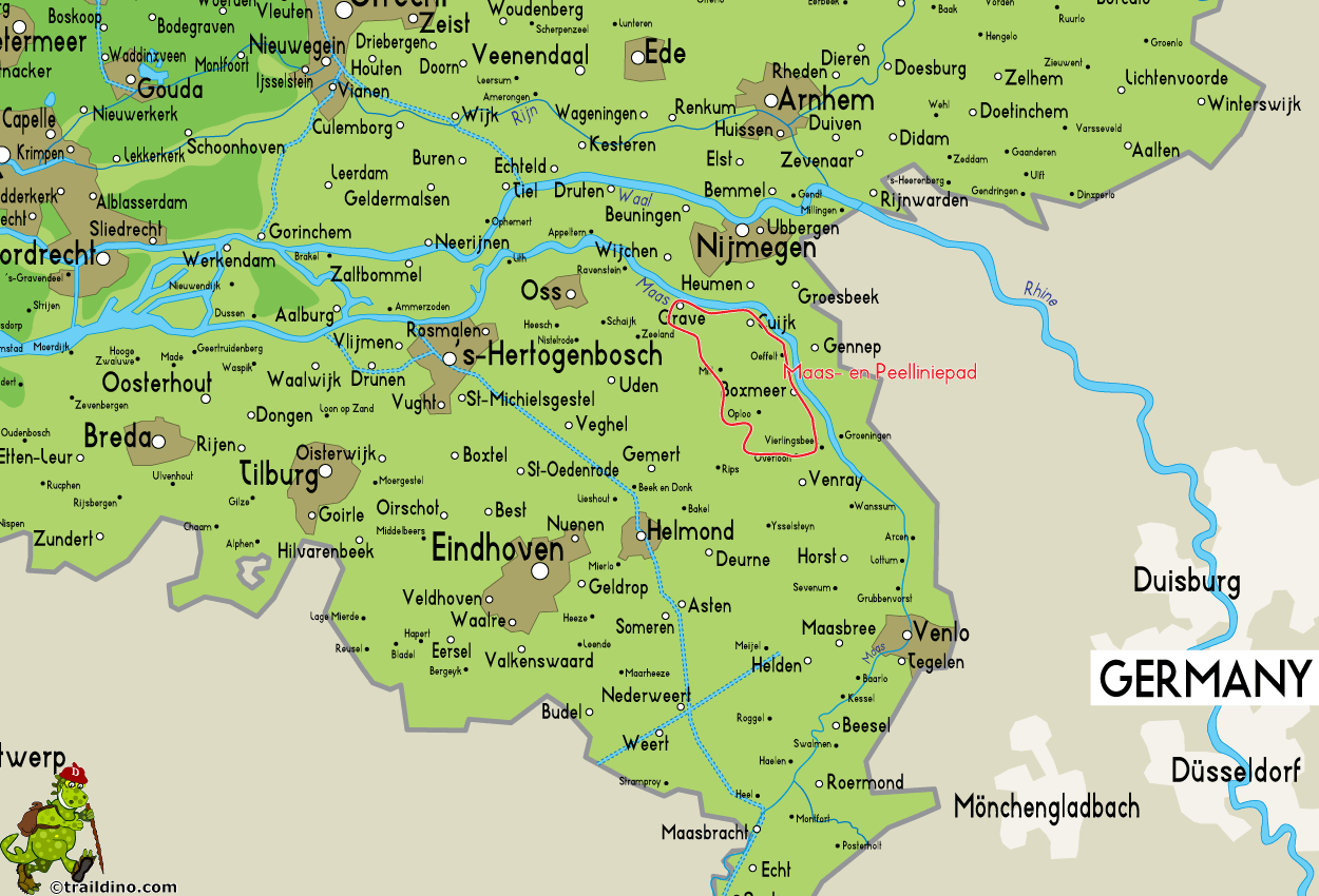
 SP14, Maas- en Peelliniepad, circular trail starting in Cuijk, 122 km
This path is located in the northeast of the province Noord-Brabant, near the German border. The name "Peellinie" refers to the Second World War, when this region acted as a defense against the Nazis. This defense system is the theme of this path. But let's face it: the defenses that had to keep the enemy out, are downright laughable.
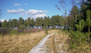
The character of this path is diverse. A central element is nature: alternating wet and dry sandy soils, forests and sand dunes. Secondly, you will stroll through agricultural areas, pretty boring. The stretch along the river Meuse is again a pleasant walk. The small town of Grave is beautiful.
This path is created by Stichting Wandelnet. The marking is yellow-red.


