
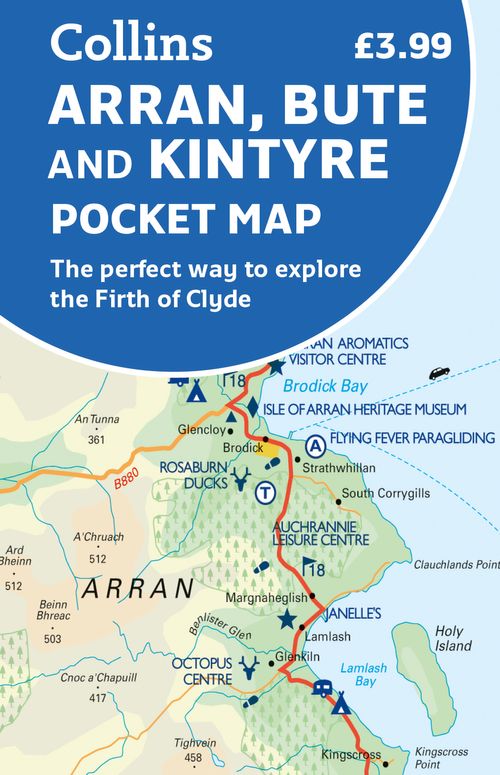
Arran
Description
Large and mountainous Scottish island in the Firth of Clyde. It is located south of the Inner Hebrides, and is not a part of this island group. Arran is good for walking. Apart from the Coastal Path, many inland hikes can be made.
Trails in this region
Links
Facts
Reports
Guides and maps
Lodging
Organisations
Tour operators
GPS
Other
Books

Stanfords
United Kingdom
United Kingdom
- Isles at the Edge of the Sea
- Rising off the western seaboard of mainland Scotland are hundreds of islands; hidden worlds. Beginning on Arran, Jonny Muir sets out to explore these places with a single ambition: to reach the faraway St Kilda archipelago; the islands at the edge of the world. On the way he attempts to find his inner peace on Holy Island, takes part in a... Read more

Stanfords
United Kingdom
2011
United Kingdom
2011
- Skye & The Western Isles
- Skye & the Western Isles is a fully revised new edition of the only comprehensive guide to Scotland`s Western Isles, which include Skye, Lewis, Harris, Uist, Iona, Jura, Islay and Arran. These enchanting islands reward the visitor with a rich variety of terrain and wildlife from the stark beauty of the Cuillin mountains of Skye to the raging... Read more

- Also available from:
- De Zwerver, Netherlands

Stanfords
United Kingdom
2015
United Kingdom
2015
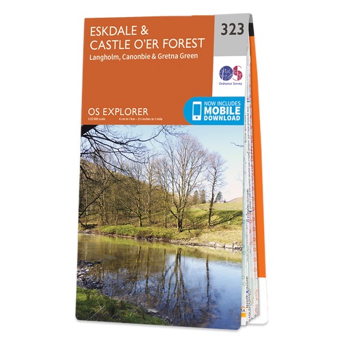
- Eskdale & Castle O`er Forest - Langholm, Canonbie & Gretna Green OS Explorer Map 323 (paper)
- Eskdale, Castle O`er Forest, Langholm, Canonbie and Gretna Green area on a detailed topographic and GPS compatible map No. 323, paper version, from the Ordnance Survey’s 1:25,000 Explorer series.MOBILE DOWNLOADS: this title and all the other OS Explorer maps include a code for downloading after purchase the digital version onto your smartphone... Read more
- Also available from:
- The Book Depository, United Kingdom
- De Zwerver, Netherlands

De Zwerver
Netherlands
2015
Netherlands
2015

Stanfords
United Kingdom
2017
United Kingdom
2017
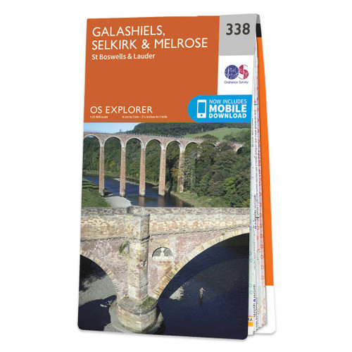
- Galashiels, Selkirk & Melrose - St Boswell`s & Lauder OS Explorer Map 338 (paper)
- Galashiels, Selkirk, Melrose, St Boswell`s and Lauder area on a detailed topographic and GPS compatible map No. 338, paper version, from the Ordnance Survey’s 1:25,000 Explorer series. MOBILE DOWNLOADS: this title and all the other OS Explorer maps include a code for downloading after purchase the digital version onto your smartphone or tablet... Read more
- Also available from:
- The Book Depository, United Kingdom
- De Zwerver, Netherlands

De Zwerver
Netherlands
2017
Netherlands
2017

Stanfords
United Kingdom
2015
United Kingdom
2015
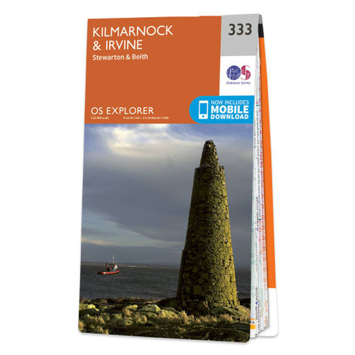
- Kilmarnock & Irvine - Stewarton & Beith OS Explorer Map 333 (paper)
- Kilmarnock, Irvine, Stewarton and Beith area on a detailed topographic and GPS compatible map No. 333, paper version, from the Ordnance Survey’s 1:25,000 Explorer series. MOBILE DOWNLOADS: this title and all the other OS Explorer maps include a code for downloading after purchase the digital version onto your smartphone or tablet for viewing on... Read more
- Also available from:
- The Book Depository, United Kingdom
- De Zwerver, Netherlands

De Zwerver
Netherlands
2015
Netherlands
2015

Stanfords
United Kingdom
2015
United Kingdom
2015
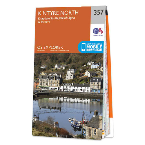
- Kintyre North - Knapdale South, Tarbert & Isle of Gigha OS Explorer Map 357 (paper)
- North Kintyre, South Knapdale with Tarbert and Isle of Gigha on a detailed topographic and GPS compatible map No. 357, paper version, from the Ordnance Survey’s 1:25,000 Explorer series.MOBILE DOWNLOADS: this title and all the other OS Explorer maps include a code for downloading after purchase the digital version onto your smartphone or tablet... Read more
- Also available from:
- The Book Depository, United Kingdom
- De Zwerver, Netherlands

De Zwerver
Netherlands
2015
Netherlands
2015

Stanfords
United Kingdom
United Kingdom
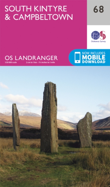
- South Kintyre & Campbeltown OS Landranger Map 68 (paper)
- Paper version of map No. 68 from the Ordnance Survey’s Landranger series at 1:50,000, with contoured and GPS compatible topographic mapping plus tourist information.MOBILE DOWNLOADS: As well as the physical edition of the map, each Landranger title now includes a code for downloading after purchase its digital version onto your smartphone or... Read more
- Also available from:
- The Book Depository, United Kingdom
- De Zwerver, Netherlands

De Zwerver
Netherlands
Netherlands

Stanfords
United Kingdom
2015
United Kingdom
2015
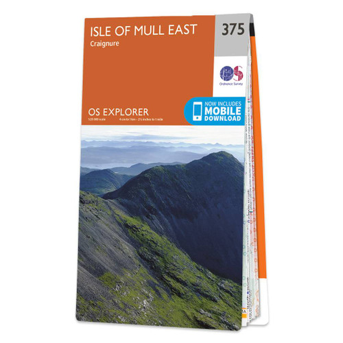
- Isle of Mull East - Craignure OS Explorer Map 375 (paper)
- The eastern part of Mull with Craignure on a detailed topographic and GPS compatible map No. 375, paper version, from the Ordnance Survey’s 1:25,000 Explorer series. MOBILE DOWNLOADS: this title and all the other OS Explorer maps include a code for downloading after purchase the digital version onto your smartphone or tablet for viewing on the... Read more
- Also available from:
- The Book Depository, United Kingdom
- De Zwerver, Netherlands

De Zwerver
Netherlands
2015
Netherlands
2015

Stanfords
United Kingdom
2015
United Kingdom
2015
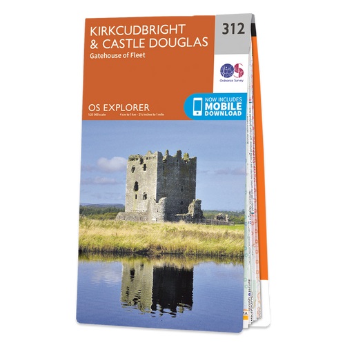
- Kirkcudbright & Castle Douglas - Gatehouse of Fleet OS Explorer Map 312 (paper)
- Kirkcudbright, Castle Douglas and Gatehouse of Fleet area on a detailed topographic and GPS compatible map No. 312, paper version, from the Ordnance Survey’s 1:25,000 Explorer series. MOBILE DOWNLOADS: this title and all the other OS Explorer maps include a code for downloading after purchase the digital version onto your smartphone or tablet... Read more
- Also available from:
- The Book Depository, United Kingdom
- De Zwerver, Netherlands

De Zwerver
Netherlands
2015
Netherlands
2015

- Also available from:
- De Zwerver, Netherlands

Stanfords
United Kingdom
United Kingdom
- Newton Stewart, Kirkcudbright & Gatehouse of Fleet OS Landranger Map 83 (paper)
- Paper version of map No. 83 from the Ordnance Survey’s Landranger series at 1:50,000, with contoured and GPS compatible topographic mapping plus tourist information.MOBILE DOWNLOADS: As well as the physical edition of the map, each Landranger title now includes a code for downloading after purchase its digital version onto your smartphone or... Read more
- Also available from:
- The Book Depository, United Kingdom
- De Zwerver, Netherlands

De Zwerver
Netherlands
Netherlands

Stanfords
United Kingdom
2015
United Kingdom
2015
- Sanquhar & New Cumnock - Muirkirk & Moniaive OS Explorer Map 328 (paper)
- Sanquhar, New Cumnock, Muirkirk and Moniaive area on a detailed topographic and GPS compatible map No. 328, paper version, from the Ordnance Survey’s 1:25,000 Explorer series. MOBILE DOWNLOADS: this title and all the other OS Explorer maps include a code for downloading after purchase the digital version onto your smartphone or tablet for... Read more
- Also available from:
- The Book Depository, United Kingdom
- De Zwerver, Netherlands

De Zwerver
Netherlands
2015
Netherlands
2015

Stanfords
United Kingdom
2015
United Kingdom
2015
- Kelso, Coldstream & Lower Tweed Valley OS Explorer Map 339 (paper)
- Kelso, Coldstream and Lower Tweed Valley area on a detailed topographic and GPS compatible map No. 339, paper version, from the Ordnance Survey’s 1:25,000 Explorer series. MOBILE DOWNLOADS: this title and all the other OS Explorer maps include a code for downloading after purchase the digital version onto your smartphone or tablet for viewing... Read more
- Also available from:
- The Book Depository, United Kingdom
- De Zwerver, Netherlands

De Zwerver
Netherlands
2015
Netherlands
2015

Stanfords
United Kingdom
2015
United Kingdom
2015
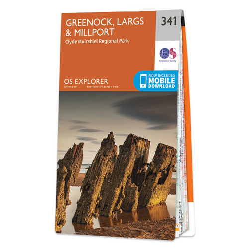
- Greenock, Largs & Millport - Clyde Muirshiel Regional Park OS Explorer Map 341 (paper)
- Greenock, Largs, Millport and Clyde Muirshiel Regional Park area on a detailed topographic and GPS compatible map No. 341, paper version, from the Ordnance Survey’s 1:25,000 Explorer series. MOBILE DOWNLOADS: this title and all the other OS Explorer maps include a code for downloading after purchase the digital version onto your smartphone or... Read more
- Also available from:
- The Book Depository, United Kingdom
- De Zwerver, Netherlands

De Zwerver
Netherlands
2015
Netherlands
2015
Maps

Stanfords
United Kingdom
2018
United Kingdom
2018
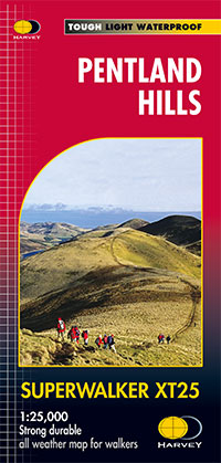
- Pentland Hills Harvey Superwalker XT25
- Pentland Hills on the outskirts of Edinburgh at 1:25,000 on a waterproof and tear-resistant map from Harvey Map Services in their Superwalker series. The map is orientated with north-west at the top to provide continuous coverage of the Pentlands on one handy size sheet.PLEASE NOTE: this title is also available as a pocket-size Ultramap with... Read more
- Also available from:
- The Book Depository, United Kingdom
- De Zwerver, Netherlands

The Book Depository
United Kingdom
2018
United Kingdom
2018
- Pentland Hills XT25
- Pentland Hills on the outskirts of Edinburgh at 1:25,000 on a waterproof and tear-resistant map from Harvey Map Services in their Superwalker series. The map is orientated with north-west at the top to provide continuous coverage of the Pentlands on one handy size sheet.Maps in Harvey Read more
De Zwerver
Netherlands
2018
Netherlands
2018
- Wandelkaart Pentland Hills | Harvey Maps
- Pentland Hills on the outskirts of Edinburgh at 1:25,000 on a waterproof and tear-resistant map from Harvey Map Services in their Superwalker series. The map is orientated with north-west at the top to provide continuous coverage of the Pentlands on one handy size sheet.Maps in Harvey Read more

Stanfords
United Kingdom
United Kingdom
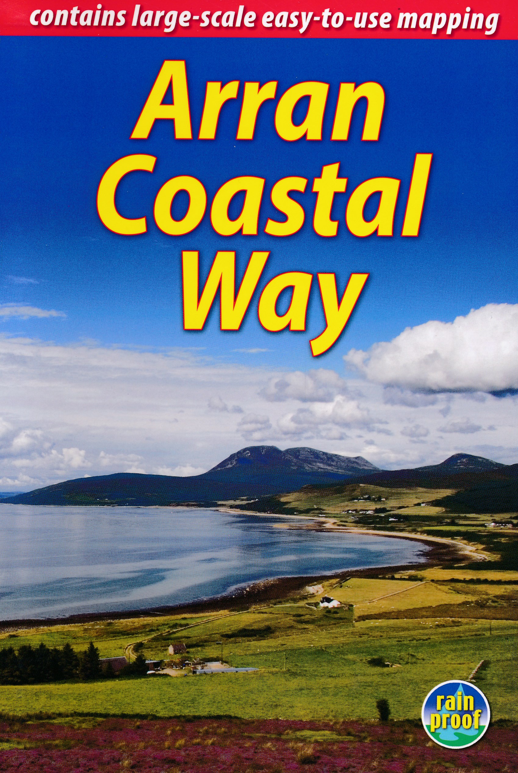
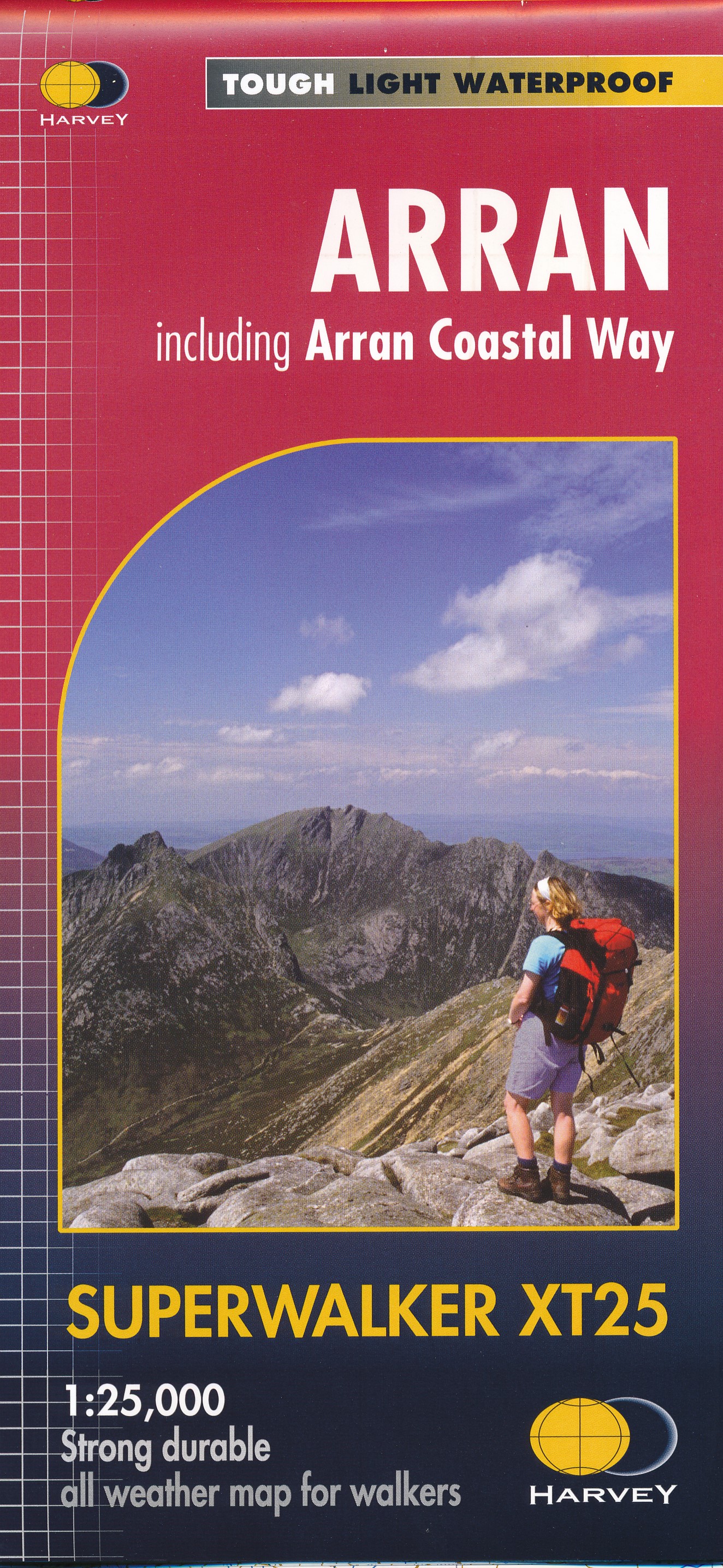
- Arran - incl. Arran Coastal Way Harvey Superwalker XT25 Map
- The Scottish island of Arran at 1:25,000 on a double-sided, a waterproof and tear-resistant, GPS compatible map from Harvey Map Services in their Superwalker series, with highlighting for the Arran Coastal Way and with a list of archaeological and historical sites. The map divides the island east/west, with a good overlap between the sides. The... Read more
- Also available from:
- The Book Depository, United Kingdom
- De Zwerver, Netherlands

De Zwerver
Netherlands
Netherlands
- Wandelkaart Arran including Arran Coastal Way | Harvey Maps
- The Scottish island of Arran at 1:25,000 on a double-sided, a waterproof and tear-resistant, GPS compatible map from Harvey Map Services in their Superwalker series, with highlighting for the Arran Coastal Way and a list of archaeological and historical sites. The map divides the island east/west, with a good overlap between the sides. The... Read more

Stanfords
United Kingdom
2021
United Kingdom
2021
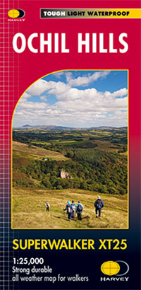
- Ochil Hills Harvey Superwalker XT25
- The Ochil Hills north of Stirling at 1:25,000 on a waterproof and tear-resistant map from Harvey Map Services in their Superwalker series. Coverage extends from the Bridge of Allan in the south-west to Auchterarder in the north. The map is double-sided, with a generous overlap between the sides, and includes three enlargements showing in... Read more
- Also available from:
- The Book Depository, United Kingdom
- De Zwerver, Netherlands

The Book Depository
United Kingdom
2021
United Kingdom
2021
- Ochil Hills
- The Ochil Hills north of Stirling at 1:25,000 on a waterproof and tear-resistant map from Harvey Map Services in their Superwalker series. Coverage extends from the Bridge of Allan in the south-west to Auchterarder in the north. The map is double-sided, with a generous overlap between the sides, and includes three enlargements showing in... Read more
De Zwerver
Netherlands
2021
Netherlands
2021
- Wandelkaart Ochil Hills | Harvey Maps
- The Ochil Hills north of Stirling at 1:25,000 on a waterproof and tear-resistant map from Harvey Map Services in their Superwalker series. Coverage extends from the Bridge of Allan in the south-west to Auchterarder in the north. The map is double-sided, with a generous overlap between the sides, and includes three enlargements showing in... Read more
De Zwerver
Netherlands
2022
Netherlands
2022
More maps…
