
United Kingdom
Description

Hiking, most likely, was invented in the UK. Scores of 19th century romantic novelists described their country through the eyes of their key figures walking the paths of their countryside! Still today, the British Isles are very welcoming to walkers. We admit, it does rain now and again. But such lovely nature is the result, with forever green, lush meadows and hills dotted with sheep. Always keep in mind: bad weather doesn't exist, only bad clothing. So put on your coat and discover the thousands of miles of British long distance footpaths.
All British long distance footpaths are worth walking, but some stand out in popularity. The Coast to Coast Path in the north of England, crossing the famous Lake District and two other national parks, is one of these. Another is the South West Coast Path, almost 600 miles of rugged coast, seagulls and fish'n chips. If you prefer to set out your own trail, Scotland and the Inner and Outer Hebrides are the place to go. The UK is also home to the so-called Peak Baggers, folk who will not rest before they have climbed every hill over 3000 feet (the Munroes).
Some 19 footpaths comprise the so called "National Trails", and you can decide they are more rewarding than others. Bear in mind that this is not the case; other trails can be of equal beauty. The popular Coast to Coast Path has no official status whatsoever! Anyway, here are the 19 National Trails:
- South West coast Path, 631 miles, 1016 km, 45 days
- Pennine Way, 270 miles, 435 km, 18 days
- Thames Path, 183 miles, 294 km, 11 days
- North Downs Way, 152 miles, 245 km, 11 days
- Pennine Bridleway, 121 miles, 195 km, 7 days
- Cleveland Way, 109 miles, 176 km, 9 days
- Cotswold Way, 102 miles, 164 km, 7 days
- South Downs Way, 101 miles, 163 km, 6 days
- Peddars Way and Norfolk Coast Path, 93 miles, 149 km, 7 days
- The Ridgeway, 87 miles, 139 km, 6 days
- Hadrian's Wall Path, 84 miles, 135 km, 6 days
- Yorkshire Wolds Way, 79 miles, 127 km, 6 days
So far England, now Wales:
- Pembrokeshire Coast Path, 186 miles, 299 km, 12 days
- Offa's Dyke Path, 177 miles, 285 km, 11 days
- Glyndwr's Way, 132 miles, 213 km, 9 days
And four so called Long Distance Routes in Scotland:
- Southern Upland Way, 212 miles, 341 km, 12 days
- West Highland Way, 95 miles, 153 km, 6 days
- Speyside Way, 84 miles, 135 km, 6 days
- Great Glen Way, 73 miles, 117 km, 6 days
Ordnance Survey publishes maps, and there are trail guidebooks of most footpaths. The guides usually include detailed maps, so you won't have to buy these separately. All footpaths are meticulously waymarked. Although British mountains are not as challenging as the Alps, when walking the mountains of Scotland and Wales be prepared for sudden spells of wind, rain and dropping temperatures during all seasons. Hypothermia and exhaustion are a real danger, so bring proper clothes. When walking more remote trails, also bring a tent and camping gear, including protective measures against the legendary midges; tiny mosquito's that will attack relentlessly during the long summer evenings. In more populated areas you will find lodging at regular intervals, such as B&B's, Youth Hostels and hotels.
Map


Trails
- A Dales Highway
- All Wales Coast PathGPX
- Allerdale RambleGPX
- Annandale WayGPX
- Arran Coastal WayGPX
- Beacon WayGPX
- Beacons WayGPX
- Borders Abbeys WayGPX
- Calderdale WayGPX
- Cambrian Way
- Cape Wrath TrailGPX
- Cateran TrailGPX
- Cheshire Ring Canal WalkGPX
- Cleveland WayGPX
- Clwydian WayGPX
- Coast to Coast WalkGPX
- Coed Morgannwg Way
- Coleridge WayGPX
- Copper Trail
- Cotswold WayGPX
- Cowal WayGPX
- Cumbria WayGPX
- Dales WayGPX
- Dartmoor WayGPX
- Dava WayGPX
- Downs LinkGPX
- Dyfi Valley Way
- E2GPX
- E8GPX
- E9GPX
- Essex WayGPX
- Fen Rivers WayGPX
- Fife Coastal PathGPX
- Geopark WayGPX
- Glamorgan Ridgeway
- Glyndŵr's WayGPX
- Great Glen WayGPX
- Greensand Ridge WalkGPX
- Greensand WayGPX
- Guernsey Coastal Path
- Hadrian's WallGPX
- Heart of England WayGPX
- Hereward WayGPX
- High Weald Landscape TrailGPX
- Highland High Way
- Icknield WayGPX
- Isle of Anglesey Coastal PathGPX
- Isle of Jersey Coastal Path
- Isle of Man Coastal PathGPX
- Isle of Wight Coastal PathGPX
- John Muir WayGPX
- Kintyre WayGPX
- Lady Anne's WayGPX
- Lairig Ghru
- Lands End to John o'GroatsGPX
- Lea Valley WalkGPX
- Leland TrailGPX
- Liberty TrailGPX
- Limestone LinkGPX
- Limestone WayGPX
- Llŷn Coastal PathGPX
- Mary Queen of Scots WayGPX
- Mendip WayGPX
- Minster WayGPX
- Monarch's WayGPX
- Moray Coast TrailGPX
- Moray Way
- Nene WayGPX
- North Buckinghamshire WayGPX
- North Downs WayGPX
- North Sea TrailGPX
- North Wales PathGPX
- Northumberland Coast PathGPX
- Offa's Dyke PathGPX
- Oxford Canal WalkGPX
- Oxfordshire WayGPX
- Peddars Way and Norfolk Coast PathGPX
- Pembrokeshire Coast PathGPX
- Pendle WayGPX
- Pennine BridlewayGPX
- Pennine WayGPX
- Quantock GreenwayGPX
- Reivers Way
- Ribble WayGPX
- RidgewayGPX
- River Ayr WayGPX
- Rob Roy WayGPX
- Robin Hood WayGPX
- Saint Cuthbert's WayGPX
- Saint Oswald's Way
- Saints WayGPX
- Santiago de Compostela Pilgrims WayGPX
- Saxon Shore WayGPX
- Scottish Coast to Coast
- Severn WayGPX
- Shakespeare's WayGPX
- Shropshire WayGPX
- Sir Walter Scott Way
- Sirhowy Valley Walk
- Solent WayGPX
- South Downs WayGPX
- South West Coast PathGPX
- Southern Upland WayGPX
- Speyside WayGPX
- Staffordshire WayGPX
- Stour Valley PathGPX
- Suffolk Coast and Heaths Path
- Tamar Valley Discovery TrailGPX
- Tarka TrailGPX
- Teesdale WayGPX
- Thames PathGPX
- Trans Pennine TrailGPX
- Two Moors WayGPX
- Ulster WayGPX
- Usk Valley WalkGPX
- Via FrancigenaGPX
- Viking WayGPX
- Wayfarer's WalkGPX
- WealdwayGPX
- Weavers WayGPX
- West Highland WayGPX
- West Island WayGPX
- Windermere WayGPX
- Worcestershire WayGPX
- Wychavon WayGPX
- Wye Valley WalkGPX
- Yorkshire Wolds WayGPX
Regions
- Anglesey
- Arran
- Ayrshire
- Berkshire Downs
- Berwyn Range
- Black Mountains
- Bodmin Moor
- Border Country
- Brecon Beacons
- Bute
- Cairngorms
- Cambrian Mountains
- Cambridgeshire
- Campsie Fells
- Carneddau
- Ceredigion
- Channel Islands
- Cheviot Hills
- Chiltern Hills
- Clwydian Hills
- Clyde Valley
- Coll
- Colonsay
- Cornwall
- Cotswolds
- Cuillin
- Cumbria
- Dartmoor
- Devon
- Dorset
- Dumfries
- Exmoor
- Forest of Bowland
- Forest of Dean
- Galloway Hills
- Glen Coe
- Glens of Antrim
- Glyderau
- Gower Peninsula
- Grampians
- Guernsey
- Hampshire
- High Weald
- Holy Island
- Inner Hebrides
- Islay
- Isle of Man
- Isle of Wight
- Isles of Scilly
- Jersey
- Jura (Hebrides)
- Kent
- Kintyre
- Lake District
- Lancashire
- Lewis and Harris
- Lincolnshire
- Lincolnshire Wolds
- Llŷn Peninsula
- Loch Lomond
- Loch Ness
- London
- Lothian
- Malvern Hills
- Mendip Hills
- Midlands
- Moelwynion
- Mourne Mountains
- Mull
- New Forest
- Norfolk
- North Downs
- North York Moors
- Northumberland
- Northwest Highlands
- Ochil Hills
- Orkney
- Outer Hebrides
- Oxfordshire
- Peak District
- Pembrokeshire
- Pennines
- Pentland Hills
- Perthshire
- Preseli Hills
- Pumlumon
- Quantock Hills
- Raasay
- Rùm
- Rhinogydd
- Scottish Highlands
- Shetland
- Shropshire Hills
- Sidlaws
- Skye
- Snowdonia
- Somerset
- South Downs
- Southern Uplands
- Sperrin Mountains
- Sussex
- Torridon Hills
- Wye Valley
- Yorkshire Dales
- Yorkshire Wolds
States
Mountains


Links
Facts
Reports
Guides and maps
Lodging
Organisations
Tour operators
GPS
Other
Books


United Kingdom
- The Wild Rover
- A Blistering Journey Along Britain's Footpaths Read more
Netherlands
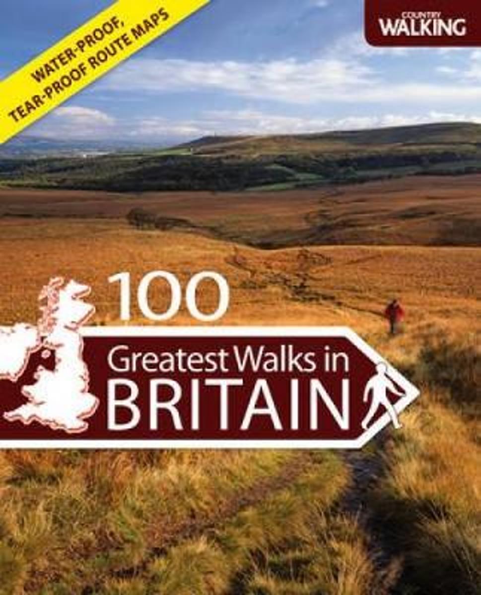
- 100 Greatest Walks in Britain
- These 100 Greatest Walks have been chosen by Country Walking magazine, Britain's most popular walking journal. This is a marvellous companion for all those who enjoy walking and hiking in the British countryside. The book highlights the extraordinary variety of scenery in the UK and on many walks it is possible to mix and match landscapes to... Read more
- Also available from:
- Bol.com, Belgium
Belgium
- 100 Greatest Walks in Britain
- These 100 Greatest Walks have been chosen by Country Walking magazine, Britain's most popular walking journal. This is a marvellous companion for all those who enjoy walking and hiking in the British countryside. The book highlights the extraordinary variety of scenery in the UK and on many walks it is possible to mix and match landscapes to... Read more
Netherlands
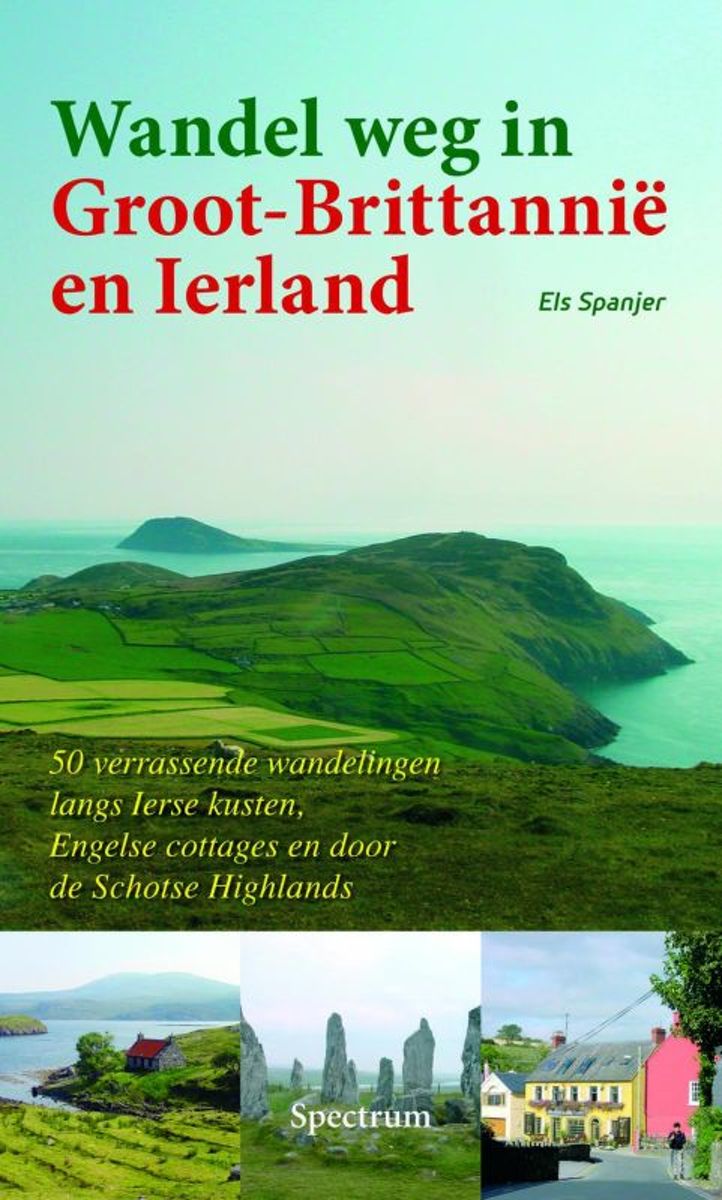
- Wandel weg in groot-brittannie en Ierland
- Veters vast en off you go!!Groot-Brittanni en Ierland: twee immense schatkamers vol wandelplezier. In dit heerlijke wandelleesboek ontdekt u vijftig minder bekende gebieden.* Volg het spoor van pelgrims in Wales en het Schots-Engels grensgebied.* Loop mee langs de whiskydistilleerderijen op Islay en in het dal van de Spey.* Luister in... Read more
- Also available from:
- Bol.com, Belgium
Belgium
- Wandel weg in groot-brittannie en Ierland
- Veters vast en off you go!!Groot-Brittanni en Ierland: twee immense schatkamers vol wandelplezier. In dit heerlijke wandelleesboek ontdekt u vijftig minder bekende gebieden.* Volg het spoor van pelgrims in Wales en het Schots-Engels grensgebied.* Loop mee langs de whiskydistilleerderijen op Islay en in het dal van de Spey.* Luister in... Read more
Netherlands
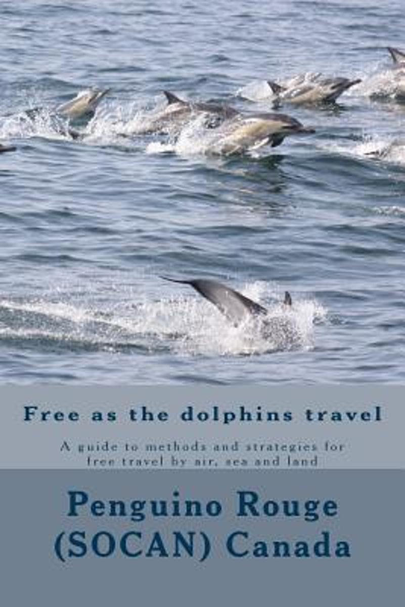
- Free as the Dolphins Travel
- This is a guide to methods and strategies for free travel by air, sea and land for people who want to travel for free or nearly for free.Want to learn French or English? This book is part of an educational series teaching travel vocabulary, compare and contrast, etc. A teaching guide can be found in the French "Voyager gratuitement ... ou... Read more
- Also available from:
- Bol.com, Belgium
Belgium
- Free as the Dolphins Travel
- This is a guide to methods and strategies for free travel by air, sea and land for people who want to travel for free or nearly for free.Want to learn French or English? This book is part of an educational series teaching travel vocabulary, compare and contrast, etc. A teaching guide can be found in the French "Voyager gratuitement ... ou... Read more
Netherlands
- Oxf Dict Modern Slang Opr:Ncs P
- Slang is language with its sleeves rolled up, colorful, pointed, brash, bristling with humor and sometimes with hostility. From "forty-rod whiskey" and "five-finger discount" to "bum rap," "buzz off," and "fly by night," slang words add zest to everyday speech. Now, in <em>The Oxford Dictionary of</em> <em>Modern... Read more
- Also available from:
- Bol.com, Belgium
Belgium
- Oxf Dict Modern Slang Opr:Ncs P
- Slang is language with its sleeves rolled up, colorful, pointed, brash, bristling with humor and sometimes with hostility. From "forty-rod whiskey" and "five-finger discount" to "bum rap," "buzz off," and "fly by night," slang words add zest to everyday speech. Now, in <em>The Oxford Dictionary of</em> <em>Modern... Read more
Netherlands
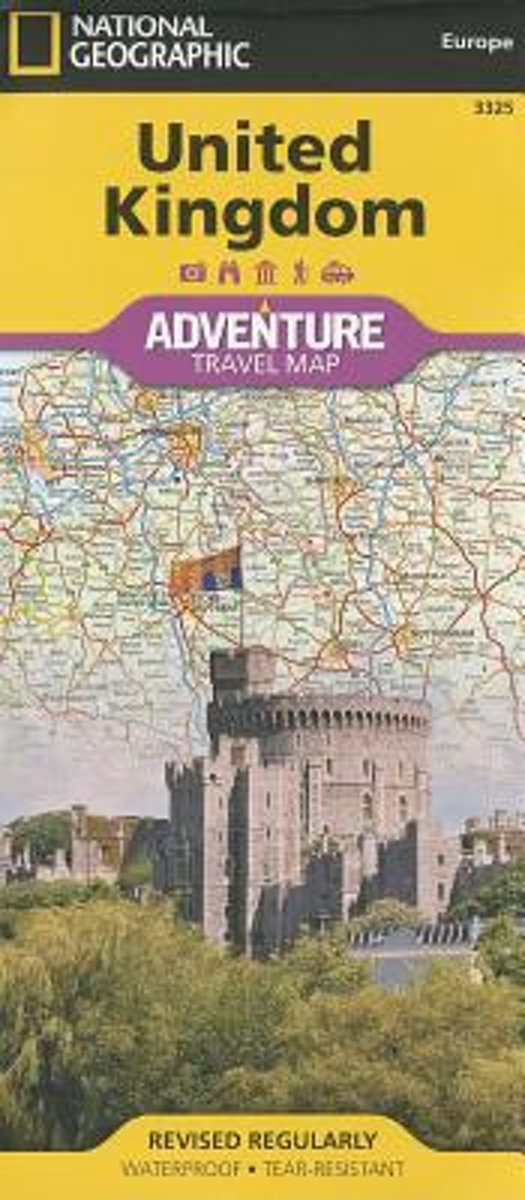
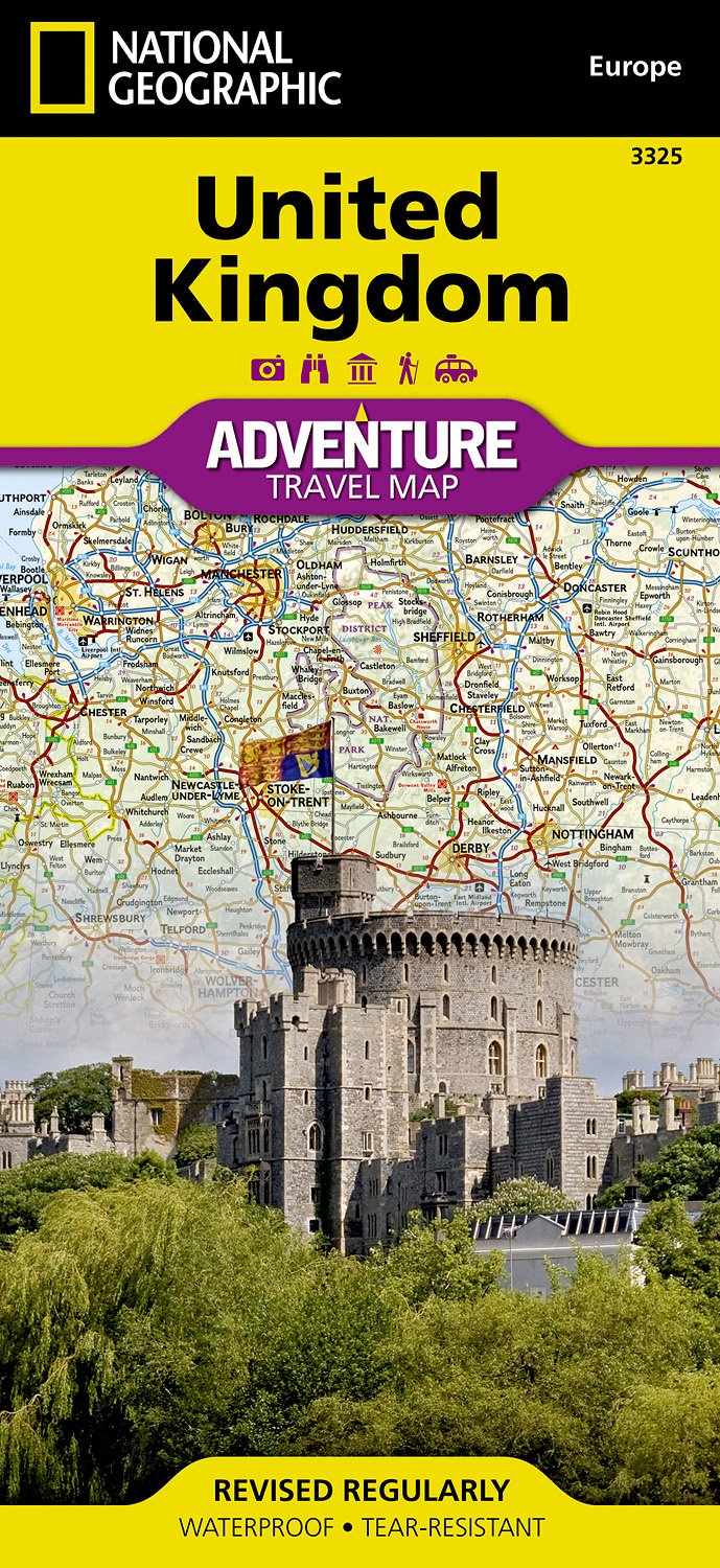
- United Kingdom
- Waterproof Tear-Resistant Travel MapNational Geographic's United Kingdom AdventureMap is designed to meet the needs of adventure travelers with its durability and detailed, accurate information. This map includes the locations of cities and towns with a user-friendly index, a clearly marked road network complete with distances and... Read more
- Also available from:
- Bol.com, Belgium
- De Zwerver, Netherlands
Belgium
- United Kingdom
- Waterproof Tear-Resistant Travel MapNational Geographic's United Kingdom AdventureMap is designed to meet the needs of adventure travelers with its durability and detailed, accurate information. This map includes the locations of cities and towns with a user-friendly index, a clearly marked road network complete with distances and... Read more
Netherlands
- Wegenkaart - landkaart 3325 Adventure Map United Kingdom - Verenigd Koninkrijk - Engeland | National Geographic
- Waterproof Tear-Resistant Travel MapNational Geographic's United Kingdom AdventureMap is designed to meet the needs of adventure travelers with its durability and detailed, accurate information. This map includes the locations of cities and towns with a user-friendly index, a clearly marked road network complete with distances and... Read more
Maps

United Kingdom
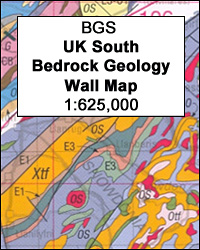
- United Kingdom South BGS Bedrock Geology Map
- A geological map at 1:625,000 from the British Geological Survey showing bedrock geology of the southern part of the United Kingdom. Coverage extends north to Hartlepool and Workington (National Grid line 540km north) and overlaps generously with the Northern UK sheet. Current 7th edition was published in 2007.Map detail is generalised from the... Read more
United Kingdom
- United Kingdom South BGS Bedrock Geology Pack
- A geological map at 1:625,000 from the British Geological Survey showing bedrock geology of the southern part of the United Kingdom, plus an 88-page explanatory booklet. Coverage extends north to Hartlepool and Workington (National Grid line 540km north), and overlaps generously with the Northern UK sheet. Current 7th edition was published in... Read more
United Kingdom
- United Kingdom South Bedrock Geology BGS Wall Map
- A geological wall map at 1:625,000 from the British Geological Survey showing bedrock geology of the southern part of the United Kingdom (size 112 x 110cm / 44” x 39.5” approx). Coverage extends north to Hartlepool and Workington (National Grid line 540km north), and overlaps generously with the Northern UK sheet. Current 7th edition was... Read more