
Banff National Park
Description
National Park in the Canadian Rocky Mountains.
Trails in this region
Links
Facts
Reports
Guides and maps
Lodging
Organisations
Tour operators
GPS
Other
Books

Stanfords
United Kingdom
United Kingdom
- Kootenay National Park Gem Trek Map
- Kootenay National Park in the Canadian Rockies at 1:100,000 on a contoured and GPS compatible, waterproof and tear-resistant map from Gem Trek Publishing, highlighting hiking trails, recreational areas, accommodation options, etc, plus on the reverse extensive tourist information including descriptions of recommended routes.The map provides a... Read more

Stanfords
United Kingdom
United Kingdom
- Best of Canmore Gem Trek
- Best of Camnore, a contoured and GPS compatible, waterproof and tear-resistant map/guide at 1:35,000 from Gem Trek, designed for people who are only going to be in Camnore for one to three days and want to know the highlights. On one side is a detailed, relief-shaded topographic map of the Canmore area, covering Canmore Nordic Centre Provincial... Read more

Stanfords
United Kingdom
United Kingdom
- DK Eyewitness Travel Guide Canada
- DK Eyewitness travel guides: award-winning guidebooksDiscover Canada with this essential travel guide, designed to help you create your own unique trip and to transport you to this incredible country before you`ve even packed your case - marvel at the magnificent thundering waterfalls of Niagara Falls, hike through spectacular scenery in Banff... Read more

Stanfords
United Kingdom
2008
United Kingdom
2008
- 50 Walks and Hikes in Banff National Park
- Hiking in Banff National Park attracts millions of visitors each year. In this book, Brian Patton and Bart Robinson, authors of the best-selling Canadian Rockies Trail Guide, detail their favourite easy walks, short hikes, and day trips in one of the world’s most spectacular national parks. Each trail is described in detail and accompanied by... Read more


Stanfords
United Kingdom
2015
United Kingdom
2015
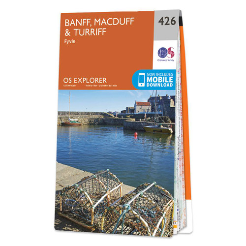
- Banff, Macduff & Turriff - Fyvie OS Explorer Map 426 (paper)
- Banff, Macduff, Turriff and Fyvie area on a detailed topographic and GPS compatible map No. 426, paper version, from the Ordnance Survey’s 1:25,000 Explorer series. MOBILE DOWNLOADS: this title and all the other OS Explorer maps include a code for downloading after purchase the digital version onto your smartphone or tablet for viewing on the... Read more
- Also available from:
- The Book Depository, United Kingdom
- De Zwerver, Netherlands

De Zwerver
Netherlands
2015
Netherlands
2015

The Book Depository
United Kingdom
2022
United Kingdom
2022
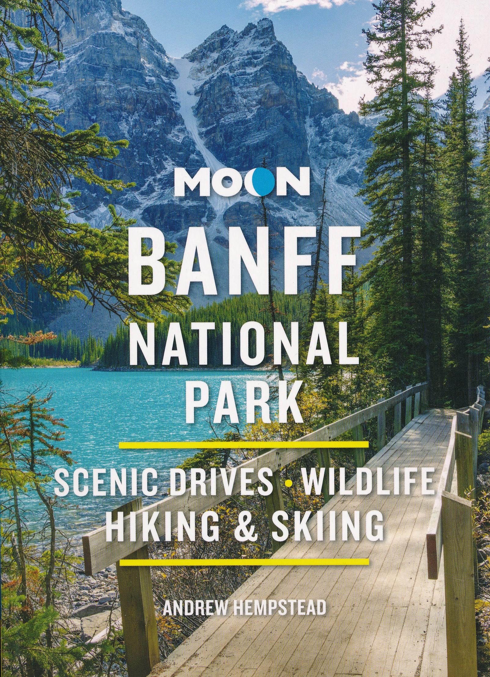
- Moon Banff National Park (Fourth Edition)
- Scenic Drives, Wildlife, Hiking & Skiing Read more
- Also available from:
- De Zwerver, Netherlands
De Zwerver
Netherlands
2022
Netherlands
2022
- Reisgids Banff National Park | Moon Travel Guides
- Scenic Drives, Wildlife, Hiking & Skiing Read more

Stanfords
United Kingdom
United Kingdom
- Banff, Macduff & Turriff - Fyvie OS Explorer Active Map 426 (waterproof)
- Banff, Macduff, Turriff and Fyvie area on a detailed topographic and GPS compatible map No. 426, waterproof version, from the Ordnance Survey’s 1:25,000 Explorer series. MOBILE DOWNLOADS: this title and all the other OS Explorer maps include a code for downloading after purchase the digital version onto your smartphone or tablet for viewing on... Read more
- Also available from:
- The Book Depository, United Kingdom


Stanfords
United Kingdom
United Kingdom
- Banff, Huntly, Portsoy & Turriff OS Landranger Active Map 29 (waterproof)
- Waterproof and tear-resistant OS Active version of map No. 29 from the Ordnance Survey’s Landranger series at 1:50,000, with contoured and GPS compatible topographic mapping plus tourist information.MOBILE DOWNLOADS: As well as the physical edition of the map, each Landranger title now includes a code for downloading after purchase its digital... Read more
- Also available from:
- The Book Depository, United Kingdom


The Book Depository
United Kingdom
2021
United Kingdom
2021
- Moon Best of Glacier, Banff & Jasper (First Edition)
- Make the Most of One to Three Days in the Parks Read more
Bol.com
Netherlands
Netherlands
- 1001 Climbing Tips
- Shortlisted: 2016 Banff Mountain Book Competition'1001 Climbing Tips had me laughing out loud in places, which I never thought possible for this genre of book. A tremendous resource that should be an essential addition to every climber's loo-library' - Ian Parnell, Climb magazineImagine an alien came down to Earth, stuck a probe into a... Read more
- Also available from:
- Bol.com, Belgium
Bol.com
Belgium
Belgium
- 1001 Climbing Tips
- Shortlisted: 2016 Banff Mountain Book Competition'1001 Climbing Tips had me laughing out loud in places, which I never thought possible for this genre of book. A tremendous resource that should be an essential addition to every climber's loo-library' - Ian Parnell, Climb magazineImagine an alien came down to Earth, stuck a probe into a... Read more

Bol.com
Netherlands
Netherlands
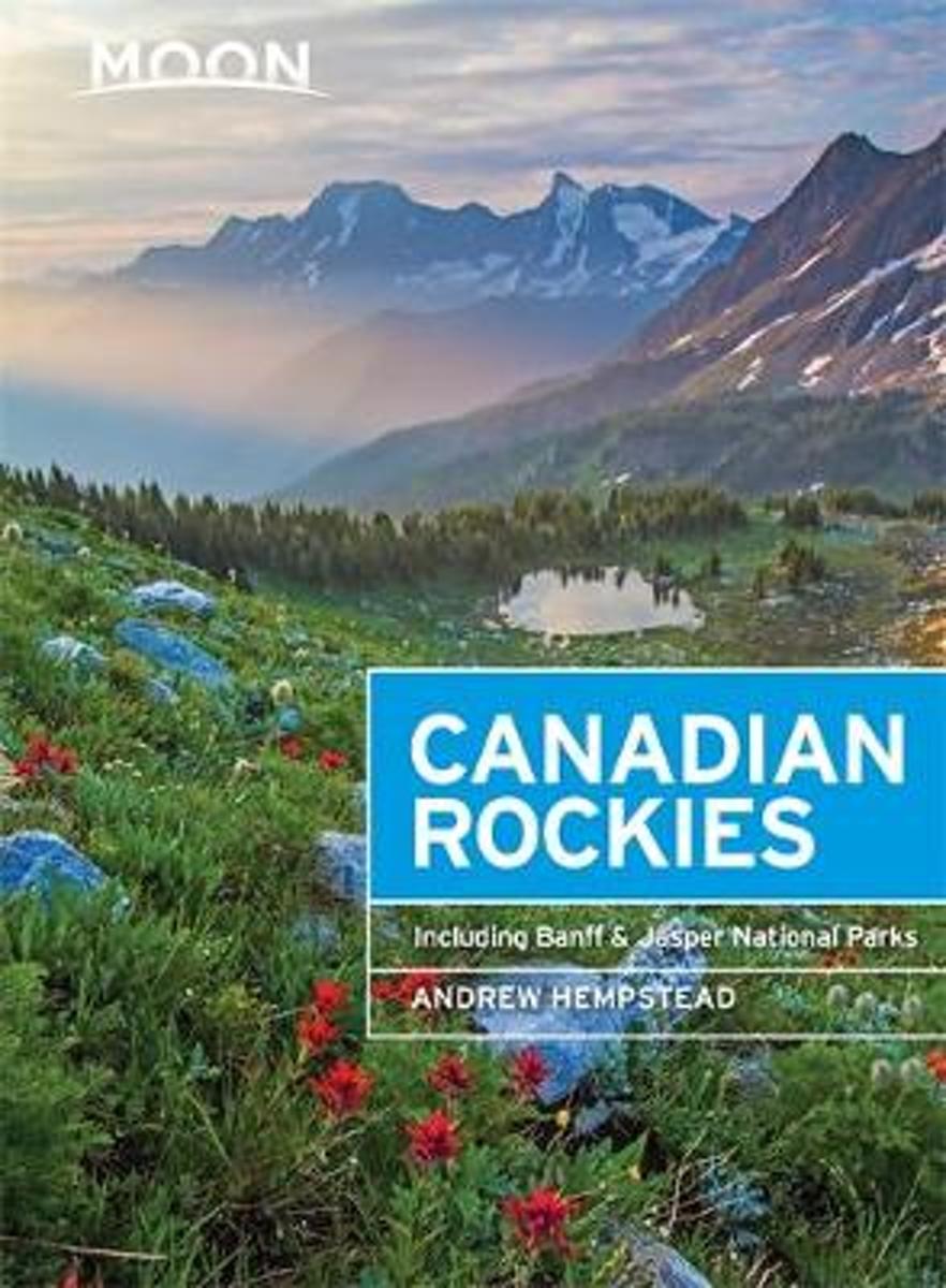
- Canadian Rockies
- National Geographic's Canadian Rockies DestinationMap strikes the perfect balance between map and guidebook and is an ideal resource for touring this culturally and geographically unique region. Canada's share of the Rocky Moutains averages approximately 100 miles across (160 kilometers) and runs from Waterton Lakes National Park on the... Read more
- Also available from:
- Bol.com, Belgium
Bol.com
Belgium
Belgium
- Canadian Rockies
- National Geographic's Canadian Rockies DestinationMap strikes the perfect balance between map and guidebook and is an ideal resource for touring this culturally and geographically unique region. Canada's share of the Rocky Moutains averages approximately 100 miles across (160 kilometers) and runs from Waterton Lakes National Park on the... Read more
De Zwerver
Netherlands
2022
Netherlands
2022
- Reisgids Canadian Rockies, met Banff en Jasper NP | Moon Travel Guides
- Scenic Drives, Wildlife, Hiking & Skiing Read more
Bol.com
Netherlands
2016
Netherlands
2016
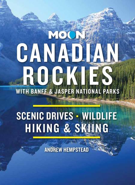
- Moon Canadian Rockies (8th ed)
- Canada resident and avid outdoorsman Andrew Hempstead offers his firsthand advice on experiencing the Canadian Rockiesfrom rafting on the Bow River and hiking Lake O'Hara to staying in a remote log cabin. Hempstead includes unique trip ideas, such as A Week Under the Stars and Exploring the Canadian Rockies with Children. Complete with details... Read more
- Also available from:
- Bol.com, Belgium
Bol.com
Belgium
2016
Belgium
2016
- Moon Canadian Rockies (8th ed)
- Canada resident and avid outdoorsman Andrew Hempstead offers his firsthand advice on experiencing the Canadian Rockiesfrom rafting on the Bow River and hiking Lake O'Hara to staying in a remote log cabin. Hempstead includes unique trip ideas, such as A Week Under the Stars and Exploring the Canadian Rockies with Children. Complete with details... Read more
Bol.com
Netherlands
Netherlands
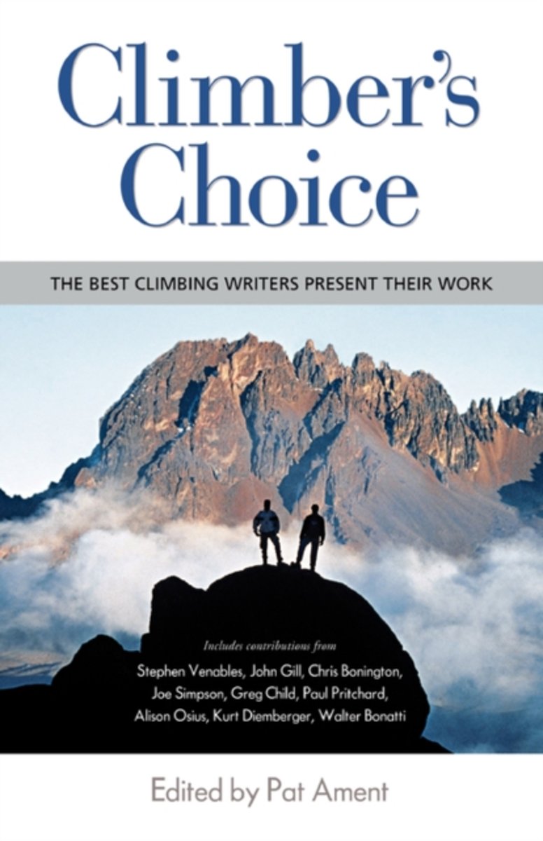
- Climber's Choice
- Climbing and mountaineering have produced wonderful writing over the years. Not to put too fine a point on it, but there is nothing like facing death to prepare one to write about life. The adrenaline-infused struggle of climbing the big walls or the world's greatest peaks does much to energize this great volume of literature, of course. But... Read more
- Also available from:
- Bol.com, Belgium
Bol.com
Belgium
Belgium
- Climber's Choice
- Climbing and mountaineering have produced wonderful writing over the years. Not to put too fine a point on it, but there is nothing like facing death to prepare one to write about life. The adrenaline-infused struggle of climbing the big walls or the world's greatest peaks does much to energize this great volume of literature, of course. But... Read more
Maps

Stanfords
United Kingdom
United Kingdom
- Calgary & Southern Alberta Street Atlas
- Street atlas of Calgary and Southern Alberta, Aidrie, Banff, Beiseker, Black Diamond, Bragg Creek, Brooks, Canmore, Chestermere, Coaldale, Cochrane, Crowsnest Pass, Crossfield, Drumheller, High River, Innisfail, Irricana, Lake Louise, Medicin Hat, Okotoks, Olds, Red Deer, Redwood Meadows, Strathmore, Taber and Turner Valley. The atlas is part... Read more

Stanfords
United Kingdom
United Kingdom
- British Columbia - Alberta MapArt
- British Columbia and Alberta, including the Banff and Jasper National Parks, on an indexed, double-sided road map presenting both provinces together at 1:2,000,000, plus more detailed mapping of the region’s main urban areas including Vancouver, Victoria, Calgary, etc.On one side both provinces are shown together at 1:2m with their road network... Read more

Stanfords
United Kingdom
United Kingdom
- Alberta & Saskatchewan
- Alberta, including the Banff and Jasper National Parks, and Saskatchewan on an indexed road map presenting both provinces at 1:1,850,000, each accompanied by several street maps of their main cities, including detailed plans of downtown Calgary, Edmonton, Regina and Saskatoon.On one side is a road map of Alberta with coverage extending within... Read more

Stanfords
United Kingdom
United Kingdom
- Banff - Egypt Lake Gem Trek
- Banff - Egypt Lake, a contoured and GPS compatible map at 1:50,000 from Gem Trek of the main hiking area in the Banff National Park, with coverage around Banff itself, including trails eastwards to Lake Minnewanka and Johnson, and extending westwards across the state border to include parts of Kootenay NP and Mt. Assiniboine Provincial Park.... Read more

Stanfords
United Kingdom
United Kingdom
- Alberta MapArt
- Alberta, including the Banff and Jasper National Parks, on an indexed road map at 1:1,500,000 accompanied by several street maps of its main cities, including plans of Calgary, Edmonton and the holiday resorts of Banff, Jasper and Canmore.The road map shows Alberta at 1:1,500,000 prominently highlighting its numerous national and provincial... Read more

Stanfords
United Kingdom
United Kingdom
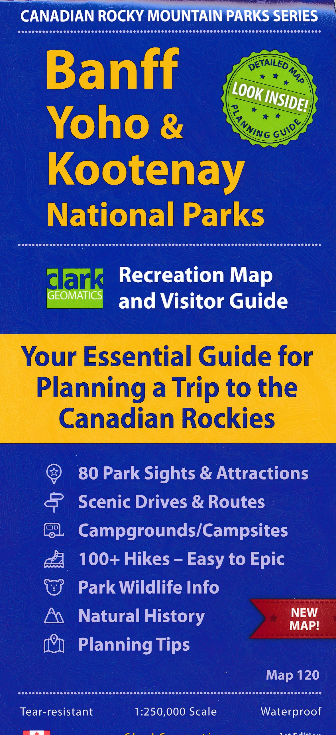
- Kootenay Rockies - Calgary and Northern Montana Back Road Atlas
- South-eastern British Columbia with the adjoining regions of Alberta including the Banff and Jasper NP plus the border area of Montana with the Glacier NP presented at 1:250,000 in an A4 paperback road atlas with additional street plans, a listing of local events, etc.Mapping at 1:250,000 covers the areas indicated on our coverage image.... Read more

Stanfords
United Kingdom
United Kingdom
- British Columbia - Alberta FastTrack
- British Columbia and Alberta, including the Banff and Jasper National Parks, on an indexed, double-sided road map presenting both provinces together at 1:2,000,000, plus more detailed mapping of the region’s main urban areas including Vancouver, Victoria, Calgary, etc.On one side both provinces are shown together at 1:2m with their road network... Read more

Stanfords
United Kingdom
United Kingdom
- British Columbia FastTrack
- British Columbia, with coverage extending to Calgary to include the Banff and Jasper National Parks, on an indexed, waterproof and tear-resistant, handy size FastTrack map, presenting the whole province on two overlapping panels at 1:2,000,000, with more detailed enlargements and street plans covering the Vancouver at 1:1,275,000, the Victoria... Read more

Stanfords
United Kingdom
United Kingdom
- Alberta Pocket Road Atlas
- Pocket road atlas of Alberta presenting the whole province at 1:1,325,000, with numerous enlargement showing in more detail most visited areas, including Banff, Jasper, Canmore, Calgary, Edmonton, etc. The index includes a listing of the province’s national and provincial parks.Road network indicates loose surface and unimproved roads, showing... Read more

Stanfords
United Kingdom
United Kingdom
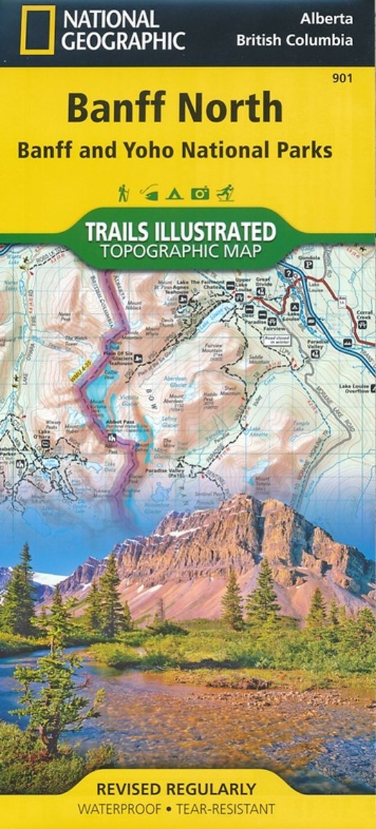
- Banff North - Banff and Yoho National Parks NGS Trails Illustrated Map 901
- The northern part of the Banff National Park on a double-sided, contoured, GPS compatible recreational map at 1:100,000 from the National Geographic printed on light, waterproof and tear-resistant synthetic paper. Coverage includes Lake Louise, the Saskatchewan River Crossing and the Columbia Icefield.This title is part of a series of four... Read more
- Also available from:
- Bol.com, Netherlands
- Bol.com, Belgium
- De Zwerver, Netherlands
Bol.com
Netherlands
Netherlands
- Banff North
- Waterproof Tear-Resistant Topographic MapNational Geographic's Trails Illustrated map of Banff North is a two-sided, waterproof map designed to meet the needs of outdoor enthusiasts with unmatched durability and detail. This map was created in conjunction with local land management agencies and is loaded with valuable recreation... Read more
Bol.com
Belgium
Belgium
- Banff North
- Waterproof Tear-Resistant Topographic MapNational Geographic's Trails Illustrated map of Banff North is a two-sided, waterproof map designed to meet the needs of outdoor enthusiasts with unmatched durability and detail. This map was created in conjunction with local land management agencies and is loaded with valuable recreation... Read more

De Zwerver
Netherlands
Netherlands
- Wandelkaart 901 Banff North National Park | National Geographic
- The northern part of the Banff National Park on a double-sided, contoured, GPS compatible recreational map at 1:100,000 from the National Geographic printed on light, waterproof and tear-resistant synthetic paper. Coverage includes Lake Louise, the Saskatchewan River Crossing and the Columbia Icefield.This title is part of a series of four... Read more
De Zwerver
Netherlands
Netherlands

Stanfords
United Kingdom
United Kingdom
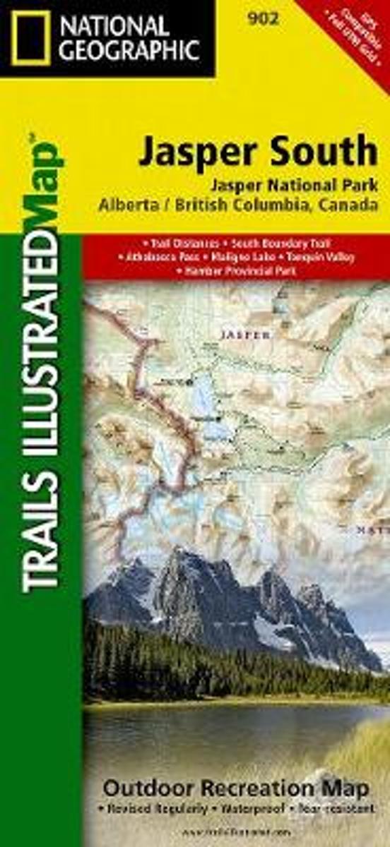
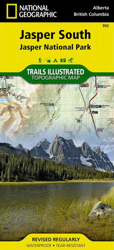
- Jasper South - Jasper National Park
- The southern part of the Jasper National Park on a double-sided, contoured, GPS compatible recreational map at 1:100,000 from the National Geographic printed on light, waterproof and tear-resistant synthetic paper. Coverage extends along the Icefields Parkway to just beyond Jasper Village.This title is part of a series of four recreational maps... Read more
- Also available from:
- Bol.com, Netherlands
- Bol.com, Belgium
- De Zwerver, Netherlands
Bol.com
Netherlands
Netherlands
- Jasper South
- Waterproof Tear-Resistant Topographic MapNational Geographic's Trails Illustrated map of Jasper South is a two-sided, waterproof map designed to meet the needs of outdoor enthusiasts with unmatched durability and detail. This map was created in conjunction with local land management agencies and is loaded with valuable recreation... Read more
Bol.com
Belgium
Belgium
- Jasper South
- Waterproof Tear-Resistant Topographic MapNational Geographic's Trails Illustrated map of Jasper South is a two-sided, waterproof map designed to meet the needs of outdoor enthusiasts with unmatched durability and detail. This map was created in conjunction with local land management agencies and is loaded with valuable recreation... Read more
De Zwerver
Netherlands
Netherlands
- Wandelkaart - Wegenkaart - landkaart 902 Jasper South National Park | National Geographic
- The southern part of the Jasper National Park on a double-sided, contoured, GPS compatible recreational map at 1:100,000 from the National Geographic printed on light, waterproof and tear-resistant synthetic paper. Coverage extends along the Icefields Parkway to just beyond Jasper Village.This title is part of a series of four recreational maps... Read more

Stanfords
United Kingdom
United Kingdom
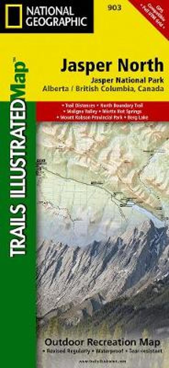
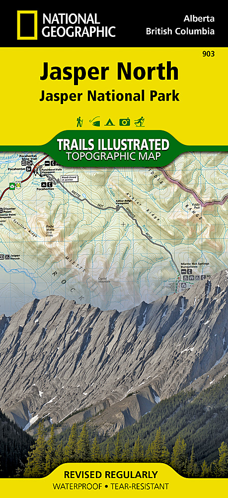
- Jasper North - Jasper National Park
- The northern part of the Jasper National Park on a double-sided, contoured, GPS compatible recreational map at 1:100,000 from the National Geographic printed on light, waterproof and tear-resistant synthetic paper. Coverage extends along the Icefields Parkway from Jasper Village and the Yellowhead Highway to the northern boundary of the... Read more
- Also available from:
- Bol.com, Netherlands
- Bol.com, Belgium
- De Zwerver, Netherlands
Bol.com
Netherlands
Netherlands
- Jasper North
- Waterproof Tear-Resistant Topographic MapNational Geographic's Trails Illustrated map of Jasper North is a two-sided, waterproof map designed to meet the needs of outdoor enthusiasts with unmatched durability and detail. This map was created in conjunction with local land management agencies and is loaded with valuable recreation... Read more
Bol.com
Belgium
Belgium
- Jasper North
- Waterproof Tear-Resistant Topographic MapNational Geographic's Trails Illustrated map of Jasper North is a two-sided, waterproof map designed to meet the needs of outdoor enthusiasts with unmatched durability and detail. This map was created in conjunction with local land management agencies and is loaded with valuable recreation... Read more
De Zwerver
Netherlands
Netherlands
- Wandelkaart - Wegenkaart - landkaart 903 Jasper North National Park | National Geographic
- The northern part of the Jasper National Park on a double-sided, contoured, GPS compatible recreational map at 1:100,000 from the National Geographic printed on light, waterproof and tear-resistant synthetic paper. Coverage extends along the Icefields Parkway from Jasper Village and the Yellowhead Highway to the northern boundary of the... Read more
De Zwerver
Netherlands
Netherlands